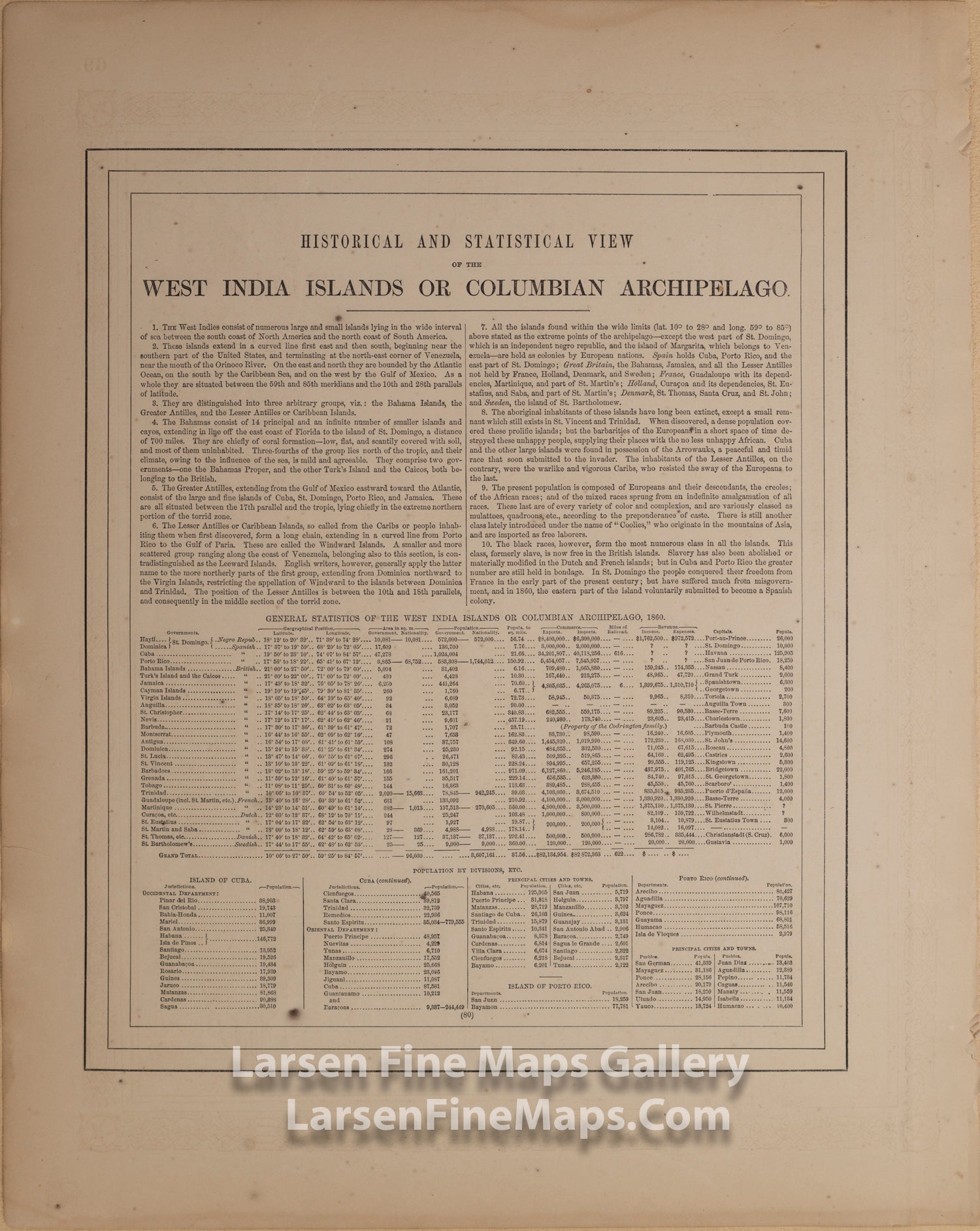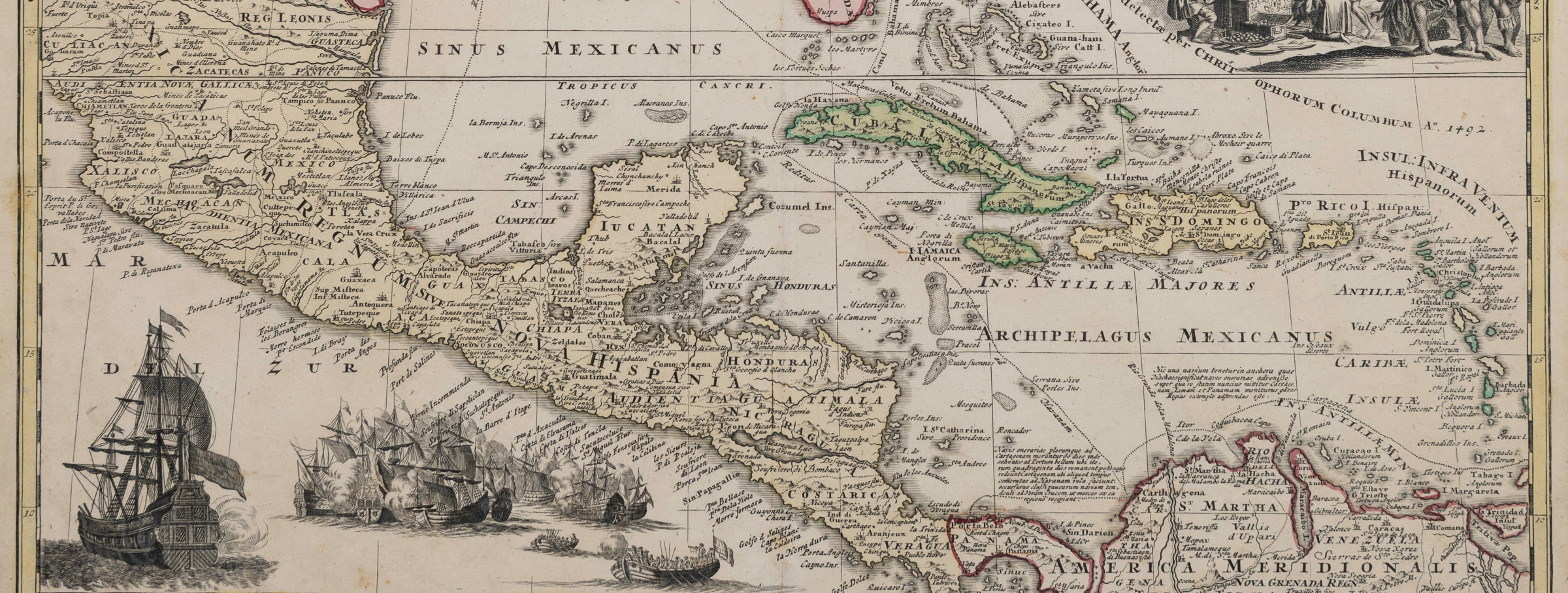
Regni Mexicani seu Novæ Hispaniæ, Ludovicianæ, N. Angliæ, Carolinæ, Virginiæ et Pensylvaniæ, necnon insvlarvm archipelagi Mexicani in America Septentrionali, Homann

Central America Antique Maps, Rare Maps, Charts and Atlases, and Old World Maps

Antique maps, vintage maps, rare maps, charts and atlases of the Central America.

Old world maps. Browse online to see photos and deals.

43 products
Sort by
Sort by
Chart of the Coast of Colombia and Caribbean, James Imray & Son, London
Le Nouveau Mexique Avec La Partie Septentrionale De L'Ancien ou De La Nouvelle Espagne Bonne, Rigobert (1727-1795)
L'Amerique Dressee pour l'etude De La Geographie, Louis Brion de la Tour
North America, Tallis, John
Mexico, Central America and The West Indies National Geographic
Nord America entworfen und gezeichnet von C.F. Weiland, Weimar im Verlage des Geograph: Institiuts 1830
Mexico, Anthony Finley, Engraved by Young and Delleker. A New General Atlas.
Noord Amerika, Rotterdam bij A. Baedeker, Otto Petri
North America. Entered according to Act of Congress Nov. 20th 1829, by D.F. Robinson & Co. of the state of Connecticut.
Atlantic & Pacific Junction. Topographical Map of the portion of Isthmus of Darien in Site of Proposed Inter-Oceanic Navigation, August 1852
Golfe du Mexique, Bertholon, Pierre. ParisGolfe du Mexique, Bertholon, Pierre. Paris, details
Partie Meridionale, De L'Ancien Mexique ou, De La Nouv'le Espagne Bonne, Rigobert (1727-1795)Partie Meridionale, De L'Ancien Mexique ou, De La Nouv'le Espagne Bonne, Rigobert (1727-1795), details
Nord - America, Heinrich Kiepert, Engraved by J. Sulzer, Dietrich Reimer
Ship Dale lying at La Paz - Lower California, William H. Meyers
U.S. Sloop Dale at San Jose, Extreme Point of Lower California, William H. Meyers
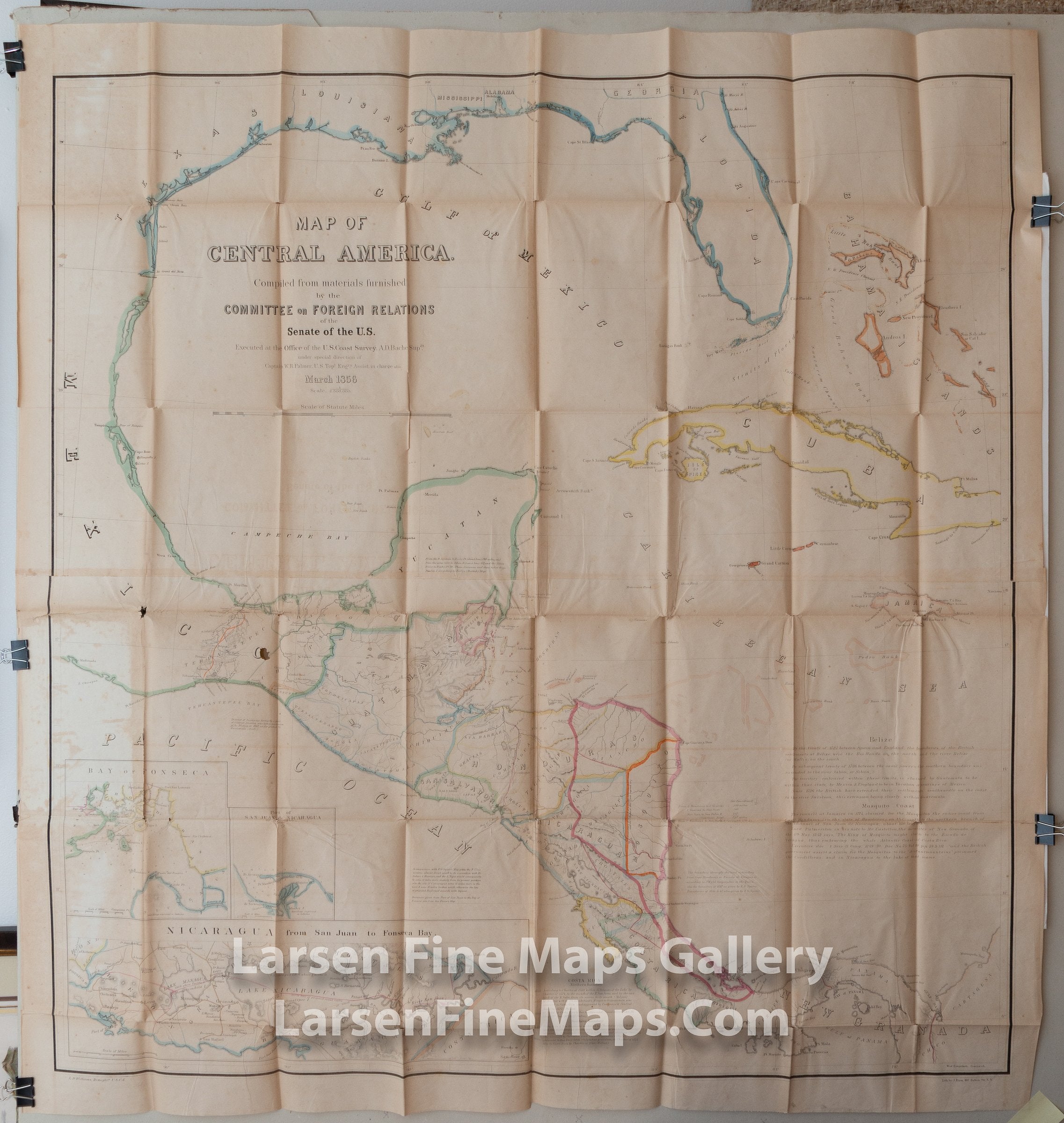
Map of Central America U.S. Coast Survey
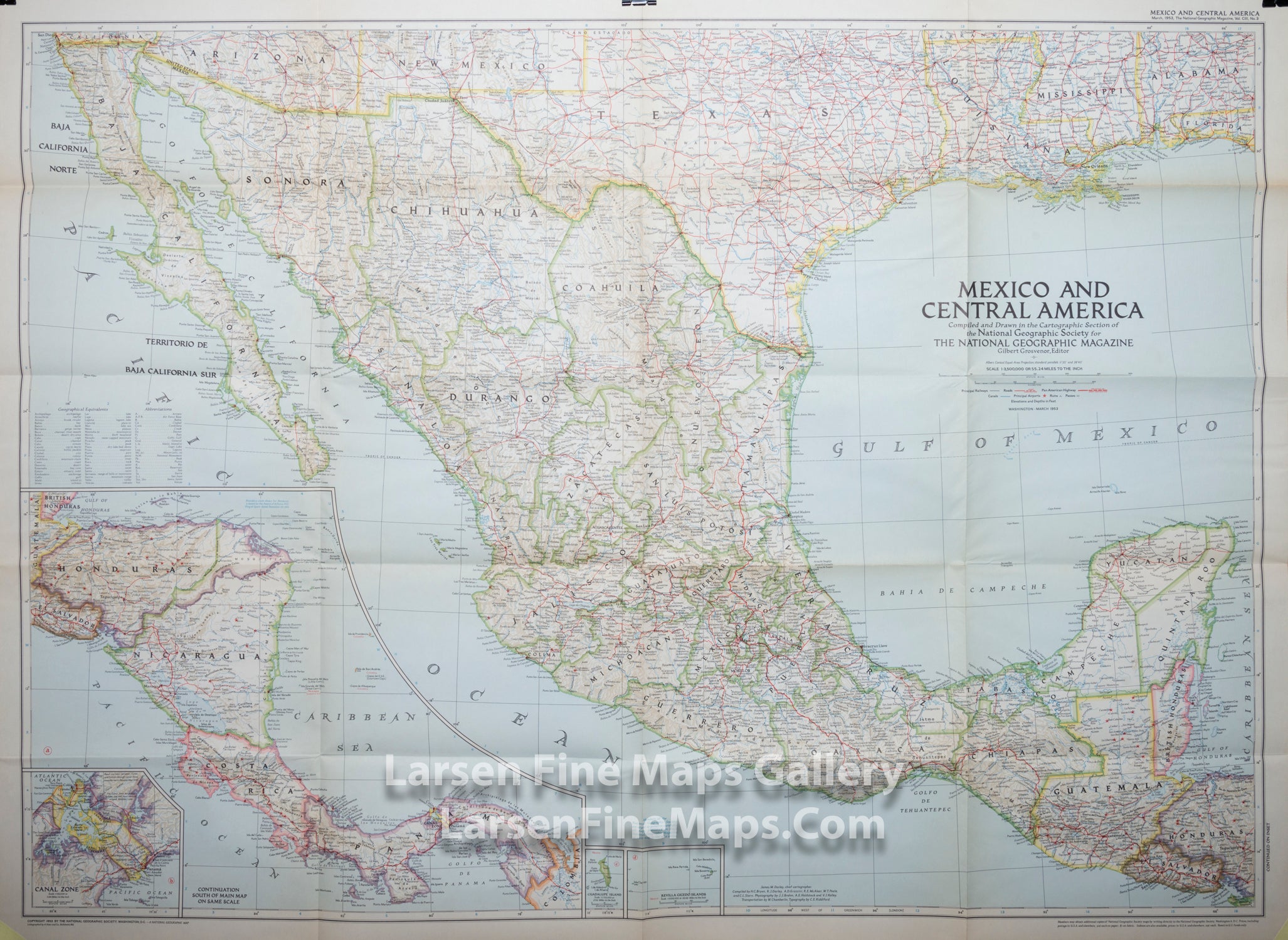
Mexico and Central America, National Geographic
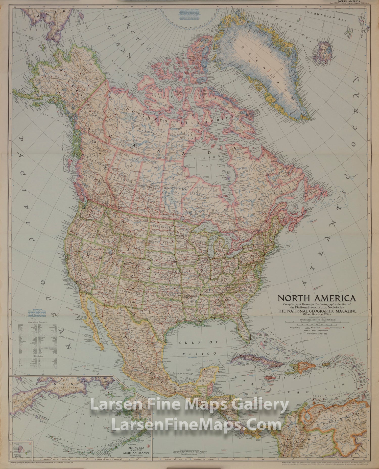
North America National Geographic
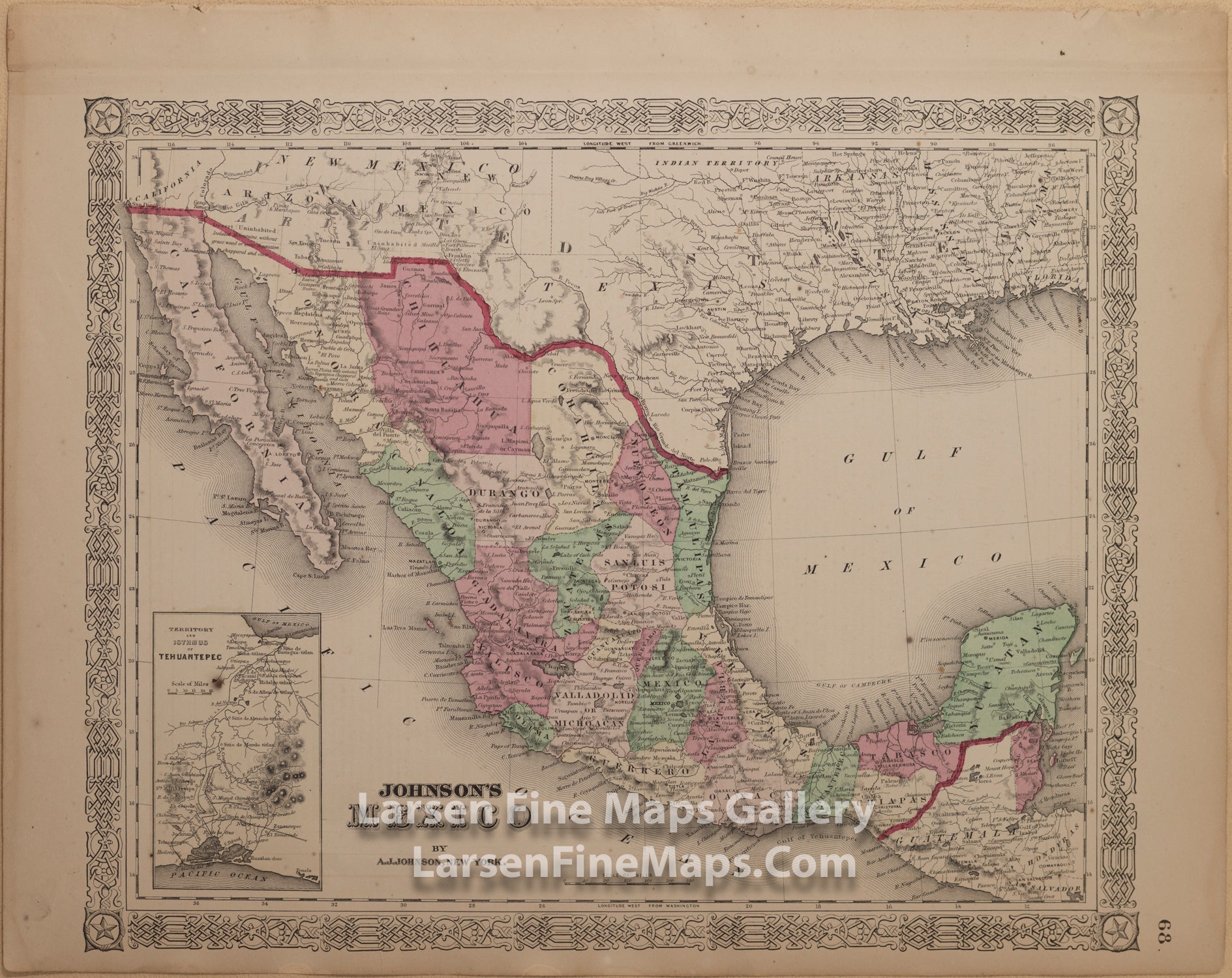
Johnson's Mexico A.J. Johnson Johnson's Mexico A.J. Johnson Back