YEAR PUBLISHED: 1824
Mexico, A New General Atlas Antique Map by Finley
DESCRIPTION
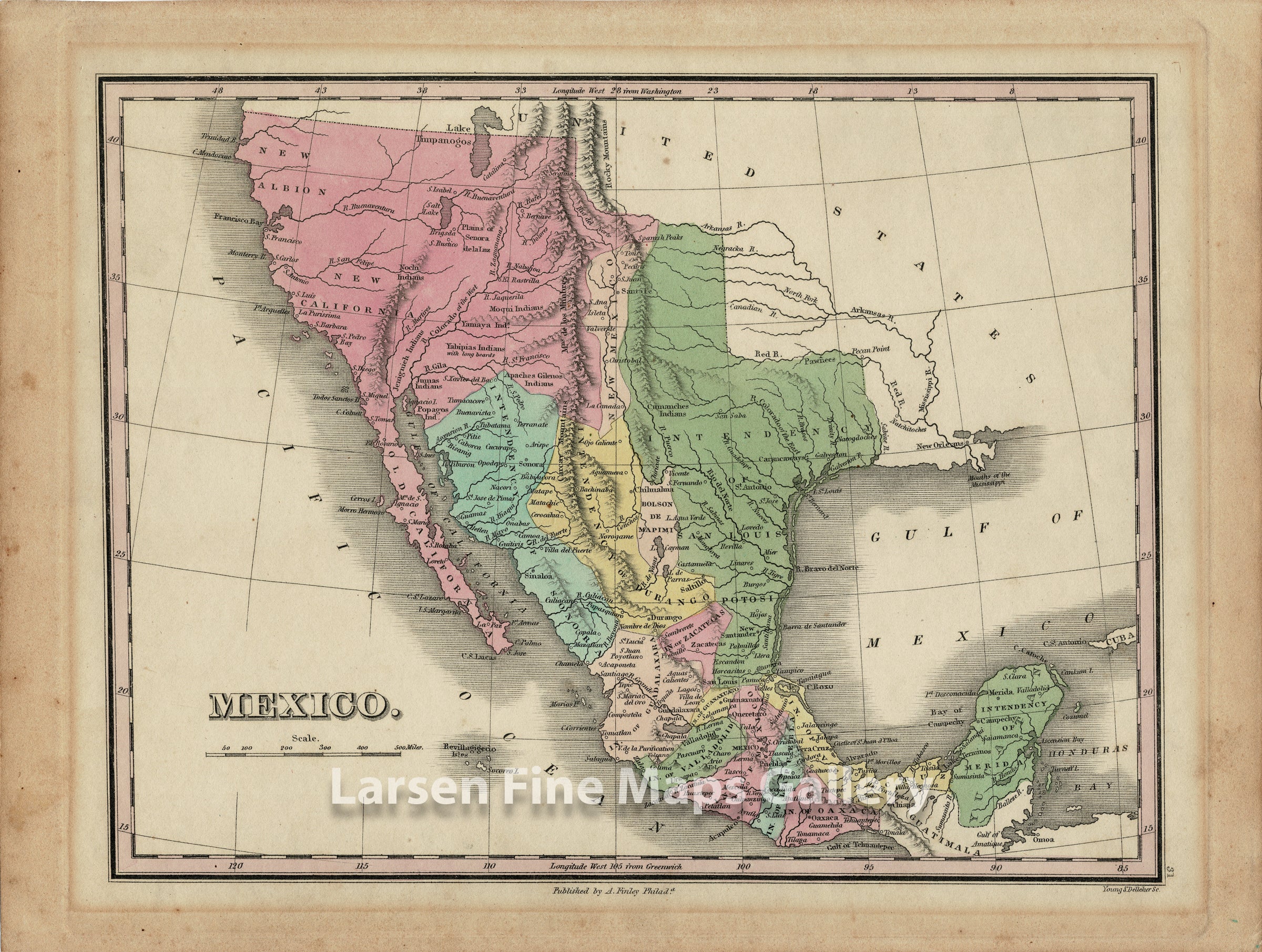
A very rare and interesting map of Mexico circa 1824 showing the extents from New Albion, New California, east to include what would become Texas, and South to the Yucatan (Intendency of Merida). The map shows some interesting features, namely The Buenaventura River, what was considered the "River of the West" when there was still hope for an alternate to the northwest passage. The "Salt Lake" is modern-day Sevier Lake, and Lake Timpanogos is modern-day Utah Lake at Provo, Utah.
From A New General Atlas, Comprising a Complete Set of Maps, representing the Grand Divisions of the Globe, Together with the several Empires, Kingdoms and States in the World; Compiled from the Best Authorities, and corrected by the Most Recent Discoveries, Philadelphia, 1828.
FULL TITLE
MAPMAKER/CARTOGRAPHER/AUTHOR
PUBLISHER
PUBLICATION
DIMENSIONS (Inches)
CONDITION
Choose options
DESCRIPTION
FULL TITLE
MAPMAKER/CARTOGRAPHER/AUTHOR
PUBLISHER
PUBLICATION
DIMENSIONS (Inches)
CONDITION
DESCRIPTION
FULL TITLE
MAPMAKER/CARTOGRAPHER/AUTHOR
PUBLISHER
PUBLICATION
DIMENSIONS (Inches)
CONDITION