YEAR PUBLISHED: 1869
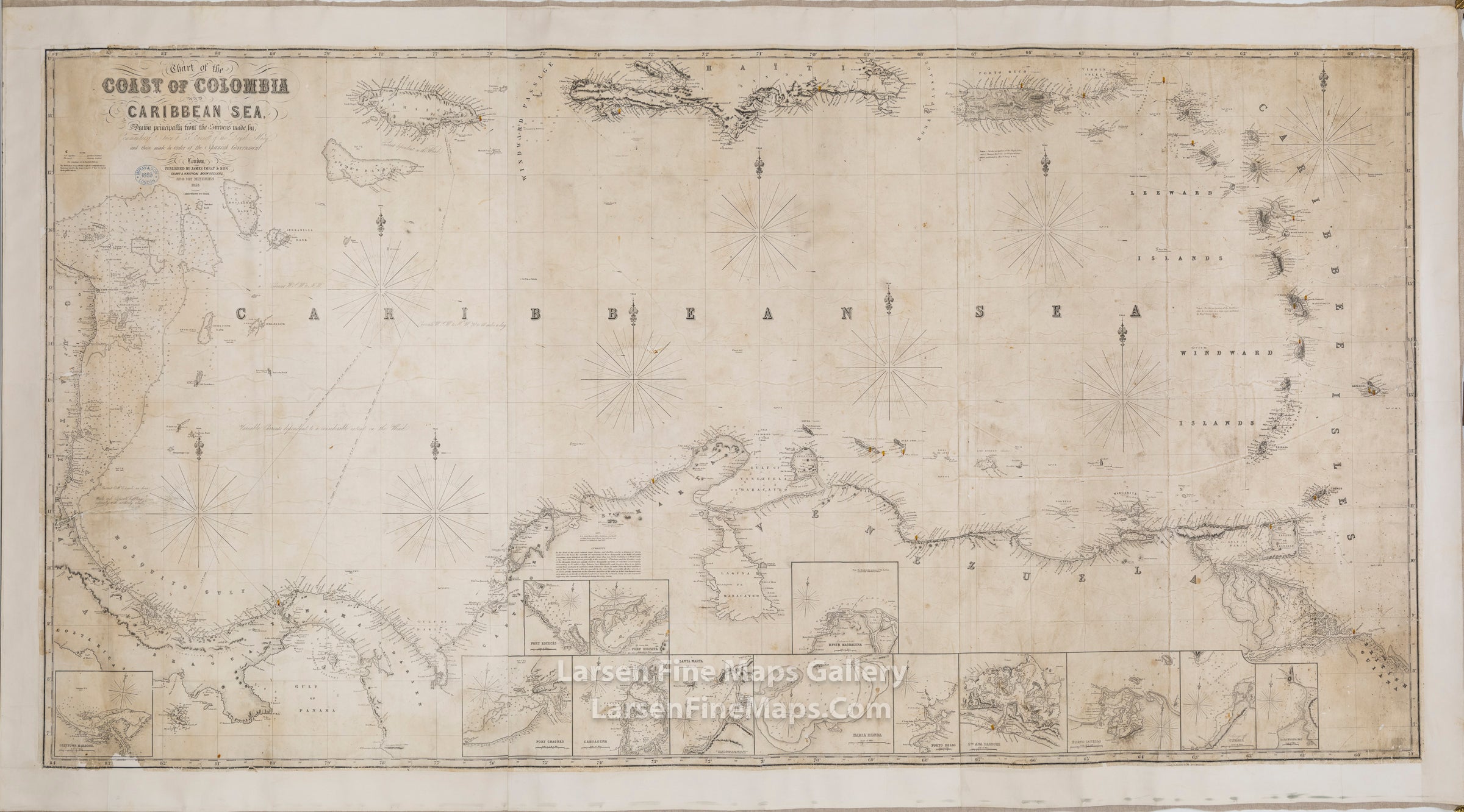
Chart of the Coast of Colombia and Caribbean
DESCRIPTION
A very large and gorgeous chart of the Caribbean showing the northern coastline of South America, parts of Central America, the Mosquito Coast, the Leeward and Windward Islands, Puerto Rico, Virgin Isles, Haiti, Jamacai and other islands. Canvas-back Chart of the Coast of Columbia and Caribbean Sea.
The chart has the following inset charts:
"Drawn principally from the surveys made by Commander R. Owen & E. Barnett of the Royal Navy and those made by order of the Spanish Government." Published by James Imray & Son Chart & Nautical Booksellers. Date stamped 1869.
The chart has the following inset charts:
- Greytown Harbour (or St. Juan de Nicaragua)
- Port Chagres
- Port Escoces
- Port Cispata
- Cartagena
- Santa Marta
- Bahia Honda
- River Magdalena
- Porto Bello
- Santa Ana Harbour
- Porto Cabello
- Cumana
- Barcelona Bay
"Drawn principally from the surveys made by Commander R. Owen & E. Barnett of the Royal Navy and those made by order of the Spanish Government." Published by James Imray & Son Chart & Nautical Booksellers. Date stamped 1869.
FULL TITLE
MAPMAKER/CARTOGRAPHER/AUTHOR
PUBLISHER
PUBLICATION
DIMENSIONS (Inches)
CONDITION
Choose options
DESCRIPTION
FULL TITLE
MAPMAKER/CARTOGRAPHER/AUTHOR
PUBLISHER
PUBLICATION
DIMENSIONS (Inches)
CONDITION
DESCRIPTION
FULL TITLE
MAPMAKER/CARTOGRAPHER/AUTHOR
PUBLISHER
PUBLICATION
DIMENSIONS (Inches)
CONDITION