YEAR PUBLISHED: 1786
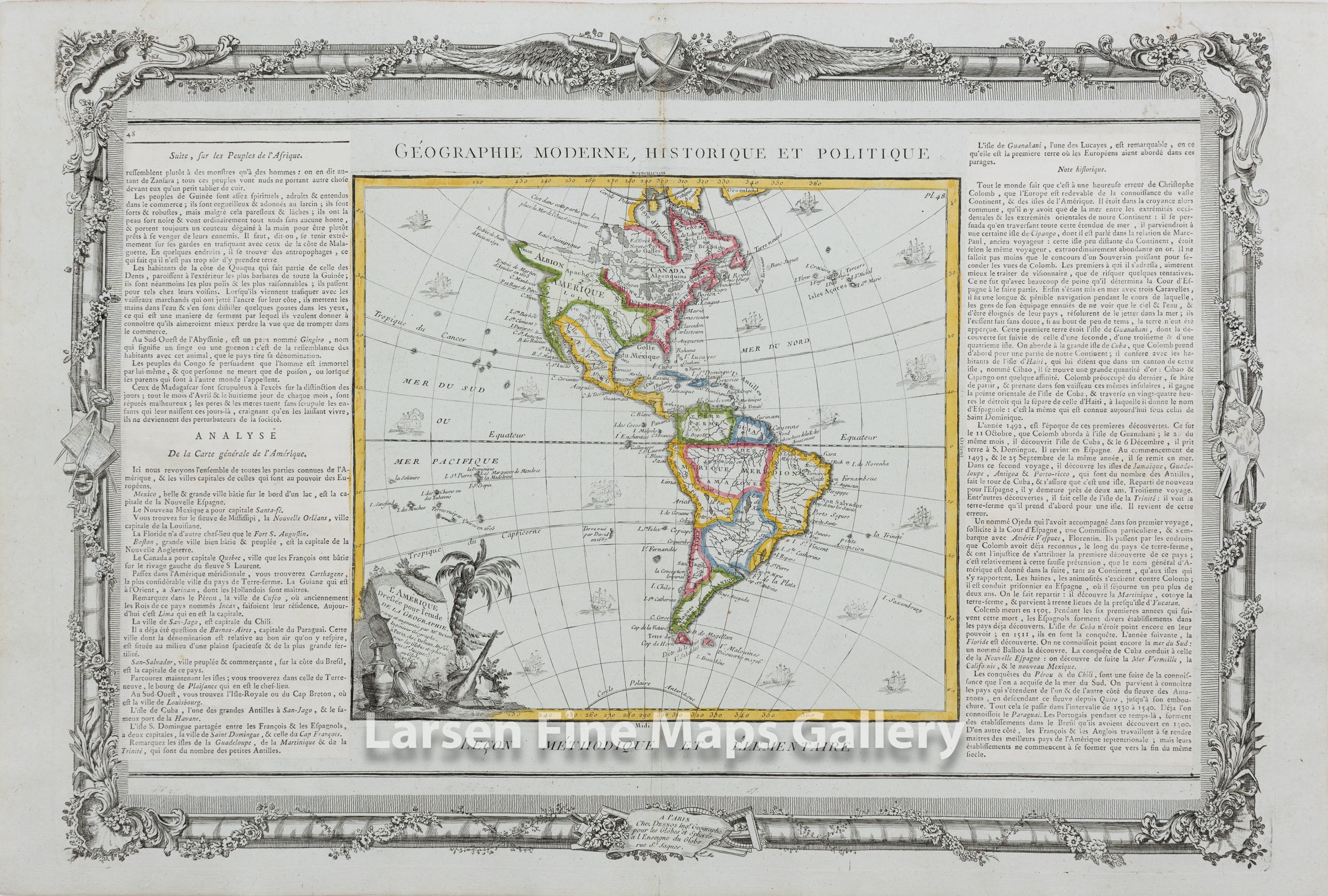
L'Amerique Dressee pour l'etude De La Geographie
DESCRIPTION
A nicely colored, rare, and interesting map of the America's by Louis Brion de la Tour. This 1786 edition shows the fictional depiction of the coast of northwest America along with a northwest water passage across the continent. The political boundaries of the time are richly colored in outline. There are several early but recognizable place names along the California coast. A decorative title cartouche, 16 ship vignettes, and descriptive text beyond the left and right extents of the map.
FULL TITLE
MAPMAKER/CARTOGRAPHER/AUTHOR
PUBLISHER
PUBLICATION
DIMENSIONS (Inches)
CONDITION
Choose options
DESCRIPTION
FULL TITLE
MAPMAKER/CARTOGRAPHER/AUTHOR
PUBLISHER
PUBLICATION
DIMENSIONS (Inches)
CONDITION
DESCRIPTION
FULL TITLE
MAPMAKER/CARTOGRAPHER/AUTHOR
PUBLISHER
PUBLICATION
DIMENSIONS (Inches)
CONDITION