YEAR PUBLISHED:1856
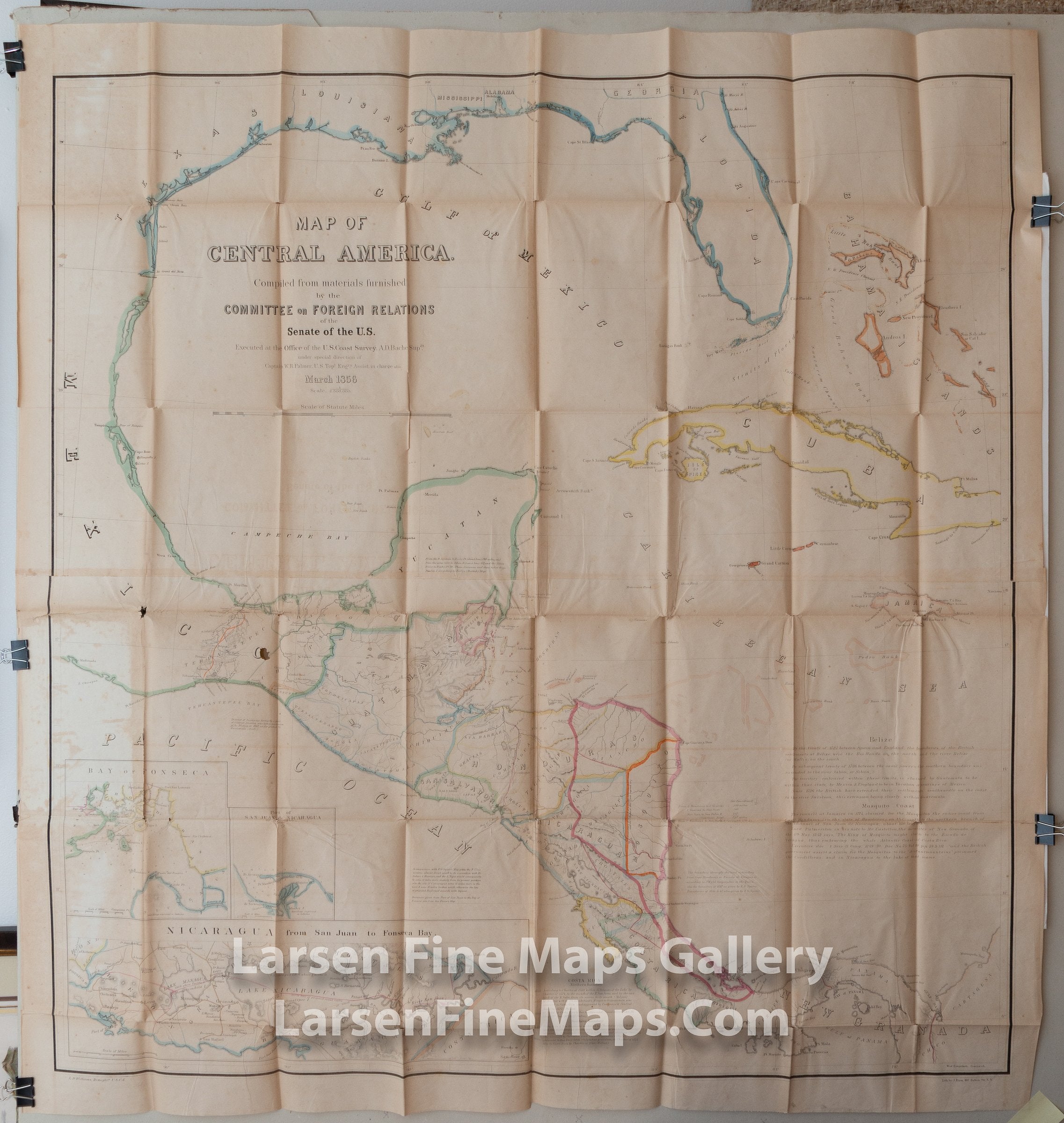
Map of Central America
DESCRIPTION
A very large folded lithographic map of Central America with inset maps of Nicaragua. Many notes regarding treaties and potential treaties mostly with reference to the proposed canal through Nicaragua. Phillips 216. Submaps: Nicaragua from San Juan to Fonseca Bay; Bay of Fonseca; Port of San Juan de Nicaragua or Grey Town. Prime meridian: GM. Relief: hachures. Graphic Scale: Miles. Projection: Polyconic.
FULL TITLE
MAPMAKER/CARTOGRAPHER/AUTHOR
PUBLISHER
PUBLICATION
DIMENSIONS (Inches)
CONDITION
Choose options
DESCRIPTION
FULL TITLE
MAPMAKER/CARTOGRAPHER/AUTHOR
PUBLISHER
PUBLICATION
DIMENSIONS (Inches)
CONDITION
DESCRIPTION
FULL TITLE
MAPMAKER/CARTOGRAPHER/AUTHOR
PUBLISHER
PUBLICATION
DIMENSIONS (Inches)
CONDITION