YEAR PUBLISHED: 1852
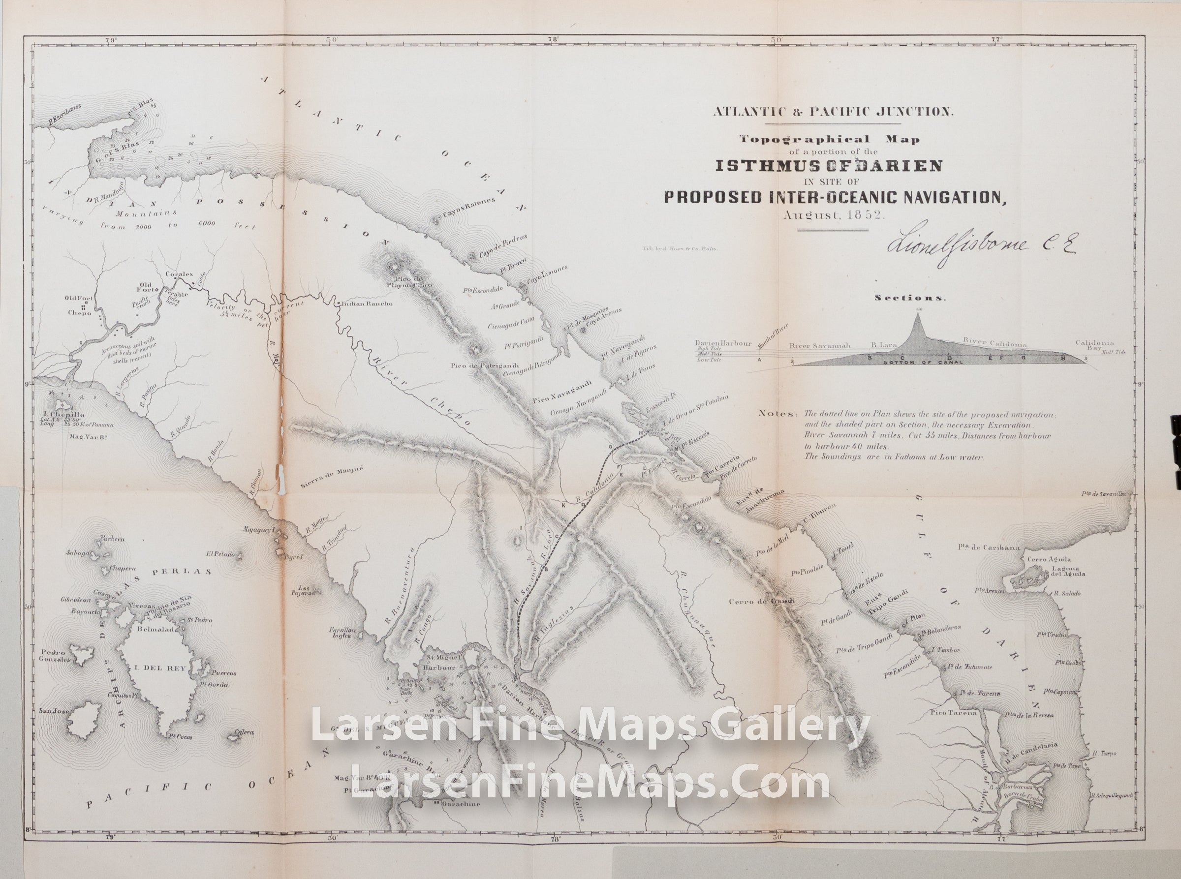
Atlantic & Pacific Junction. Topographical Map of the portion of Isthmus of Darien in Site of Proposed Inter-Oceanic Navigation, August 1852
DESCRIPTION
A very interesting map which includes nice section of proposed canal route. Nice detailed lithographed map showing the site of the proposed canal from Caledonia Bay in the Atlantic to Darien Harbor in the Pacific. Profile of the canal and notes describe the proposed canal, soundings, etc.
FULL TITLE
MAPMAKER/CARTOGRAPHER/AUTHOR
PUBLISHER
PUBLICATION
DIMENSIONS (Inches)
CONDITION
Choose options

DESCRIPTION
FULL TITLE
MAPMAKER/CARTOGRAPHER/AUTHOR
PUBLISHER
PUBLICATION
DIMENSIONS (Inches)
CONDITION
DESCRIPTION
FULL TITLE
MAPMAKER/CARTOGRAPHER/AUTHOR
PUBLISHER
PUBLICATION
DIMENSIONS (Inches)
CONDITION