YEAR PUBLISHED: 1851
North America
DESCRIPTION
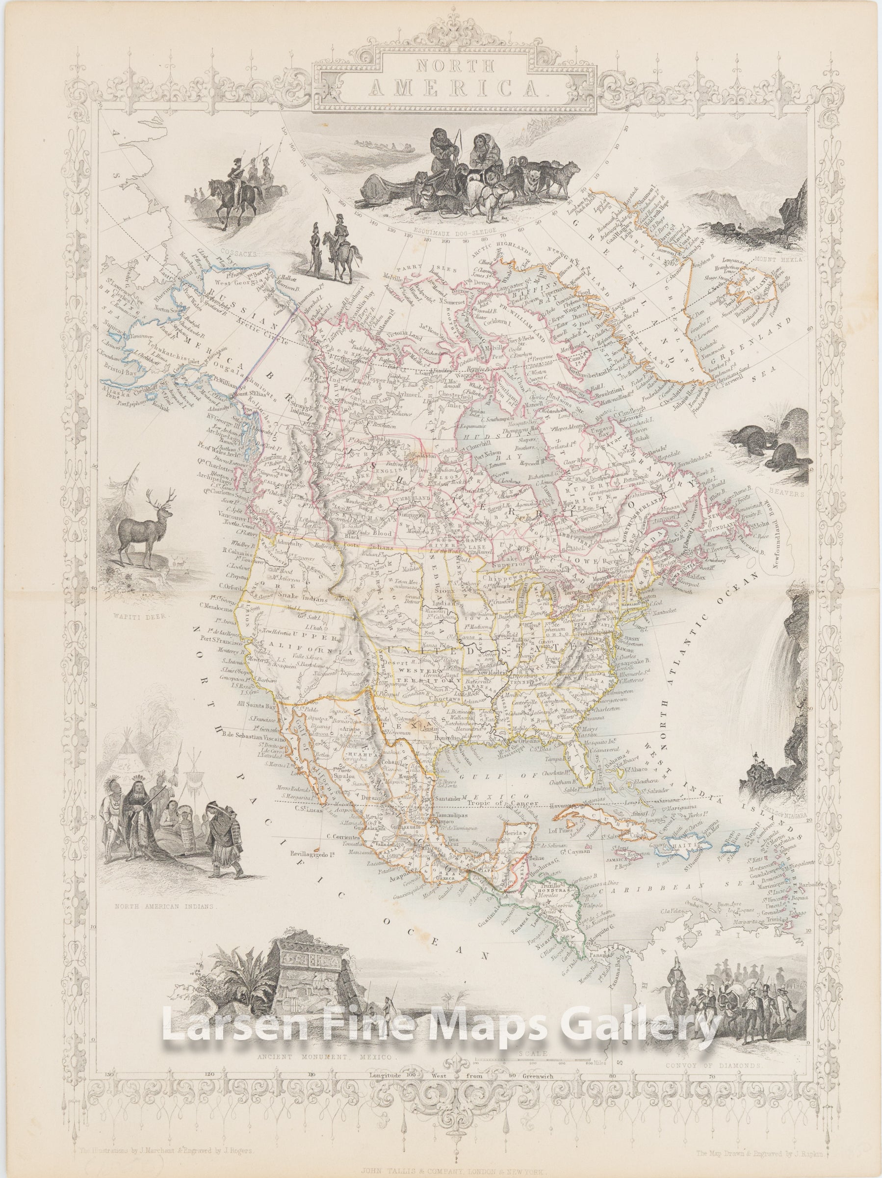
A striking map of North America, as it was depicted by John Tallis in 1851. Texas was recentley added to the Union with borders still unsettled. Shows the states of Mexico, Central America and New or Upper California which encompassed California, and future Nevada, Arizona, New Mexico, and part of Utah. Other western US territories are shown as well.
Many vignettes adorn the perimeter of the mapping.
FULL TITLE
MAPMAKER/CARTOGRAPHER/AUTHOR
PUBLISHER
PUBLICATION
DIMENSIONS (Inches)
CONDITION
Choose options
DESCRIPTION
FULL TITLE
MAPMAKER/CARTOGRAPHER/AUTHOR
PUBLISHER
PUBLICATION
DIMENSIONS (Inches)
CONDITION
DESCRIPTION
FULL TITLE
MAPMAKER/CARTOGRAPHER/AUTHOR
PUBLISHER
PUBLICATION
DIMENSIONS (Inches)
CONDITION