YEAR PUBLISHED: 1799
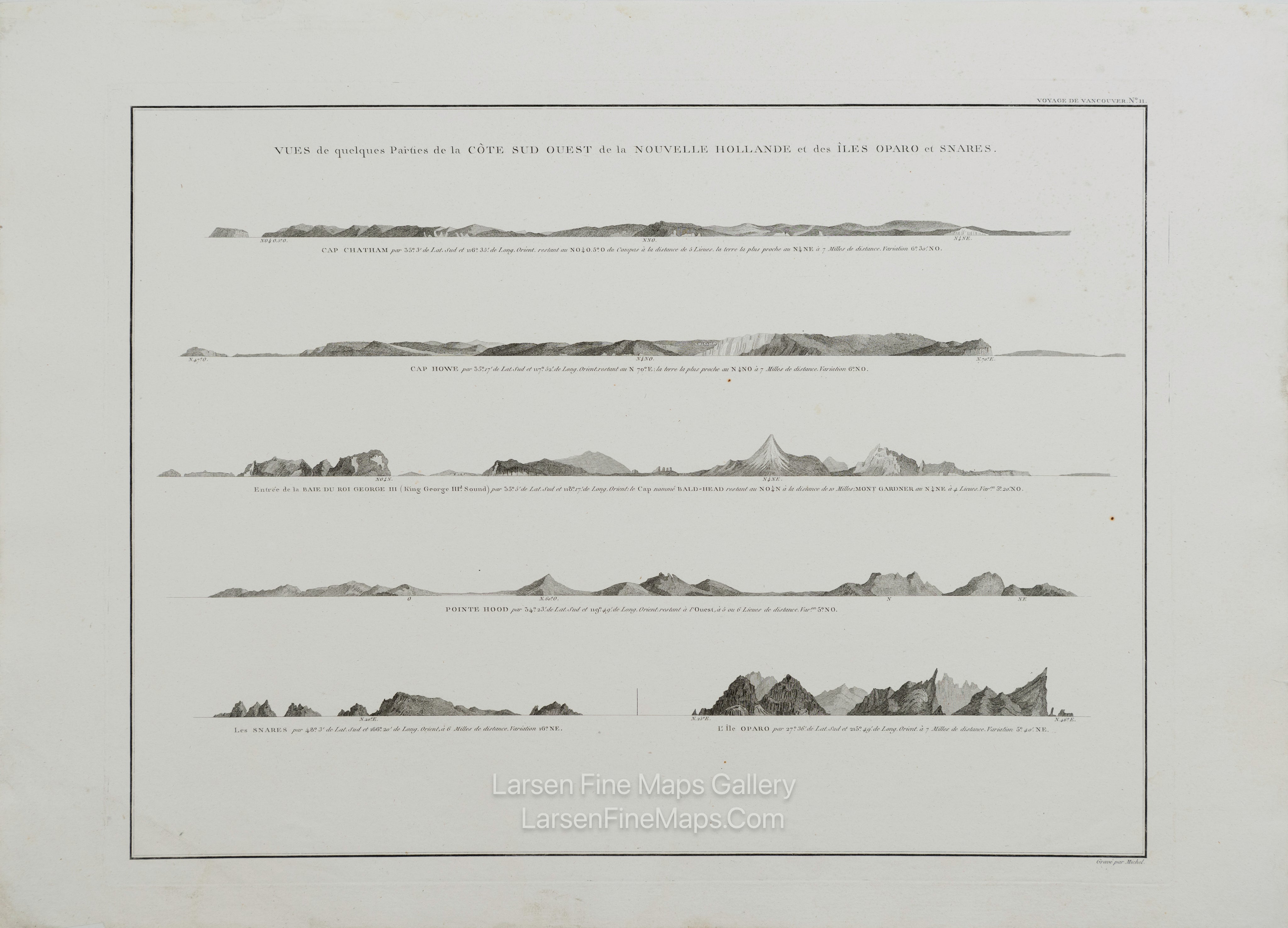
Vues de quelques Parties de la Côte Sud Ouest de la Nouvelle Hollande et des Îles Oparo et Snares.
DESCRIPTION
Striking and highly detailed refined unusual copper engraved George Vancouver's 1799 view sheet depicting various coastal profile views of Australia and New Zealand. This sheet features six beautifully rendered views detailing, from top: Chatham Island, Western Australia (Cape Chatham); Cape Howe, Victoria-New South Wales border, Australia (Cap Howe); King George Sound, Western Australia (Baie du Roi George III), Hood Point; Western Australia (Pointe Hood); The Snares, New Zealand (Les Snares); and Rapa Iti Island (L'Ile Oparo), French Polynesia. Vancouver and his officers drew these views while traveling worldwide to begin their epic 1791-1794 explorations of the Pacific Northwest. This view sheet features some of the earliest nautical shore profiles of these parts of Australia and New Zealand ever published.
This particular example of Vancouver's view sheet was issued as plate no. 11 in the highly desirable 1799 French edition of Vancouver's Atlas. The rare and coveted French edition is more beautifully produced, with better engraving, higher-quality paper, and more detail than the 1798 English edition.
FULL TITLE
MAPMAKER/CARTOGRAPHER/AUTHOR
PUBLISHER
PUBLICATION
DIMENSIONS (Inches)
CONDITION
Choose options

DESCRIPTION
FULL TITLE
MAPMAKER/CARTOGRAPHER/AUTHOR
PUBLISHER
PUBLICATION
DIMENSIONS (Inches)
CONDITION
DESCRIPTION
FULL TITLE
MAPMAKER/CARTOGRAPHER/AUTHOR
PUBLISHER
PUBLICATION
DIMENSIONS (Inches)
CONDITION