Topographical Plan of the Campagna Di Roma

YEAR PUBLISHED: 1818

Topographical Plan of the Campagna Di Roma

Sale price$1,200.00
SKU: 797

DESCRIPTION

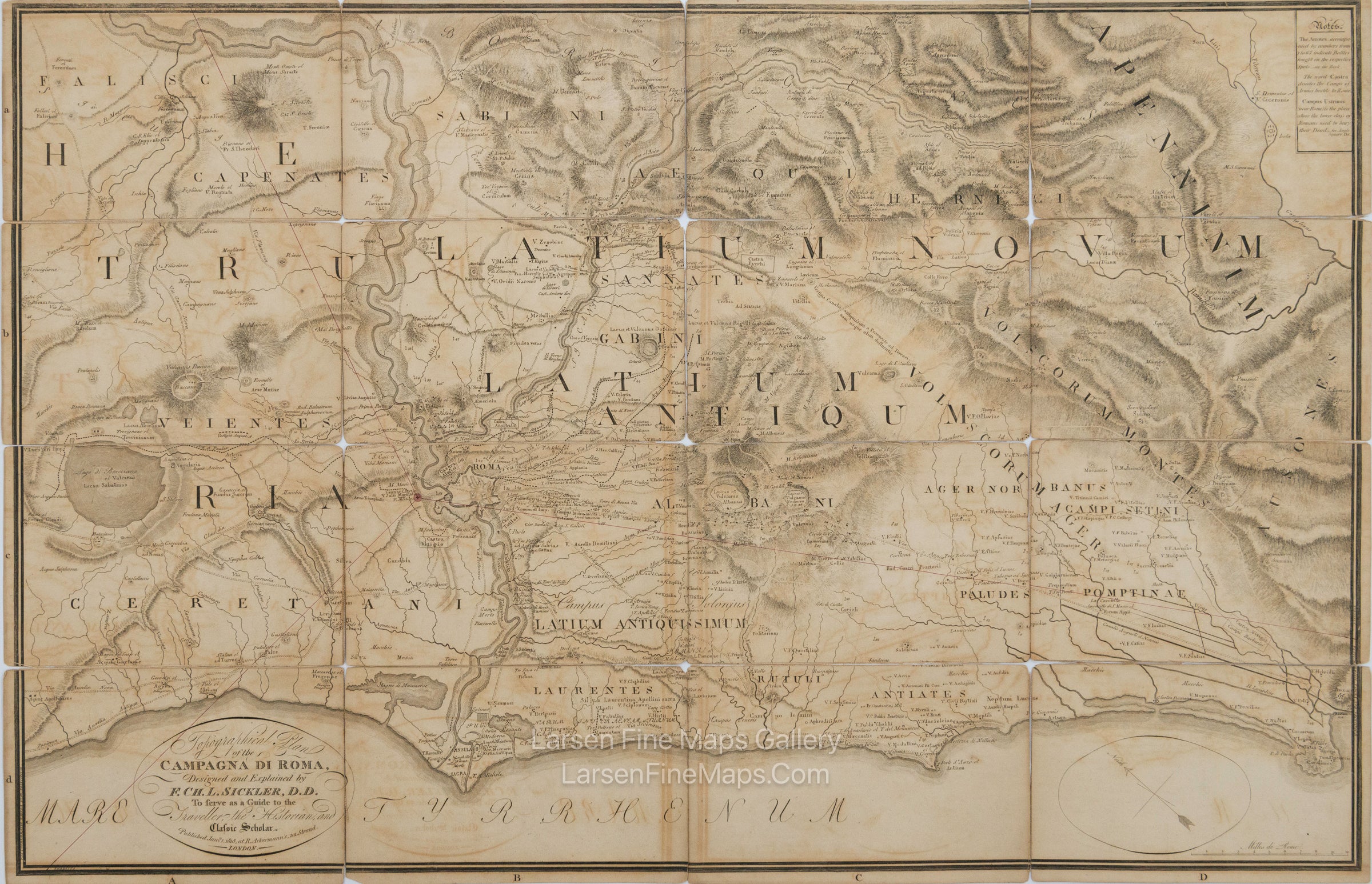
A great map of the Roman countryside with classical and contemporary place names.
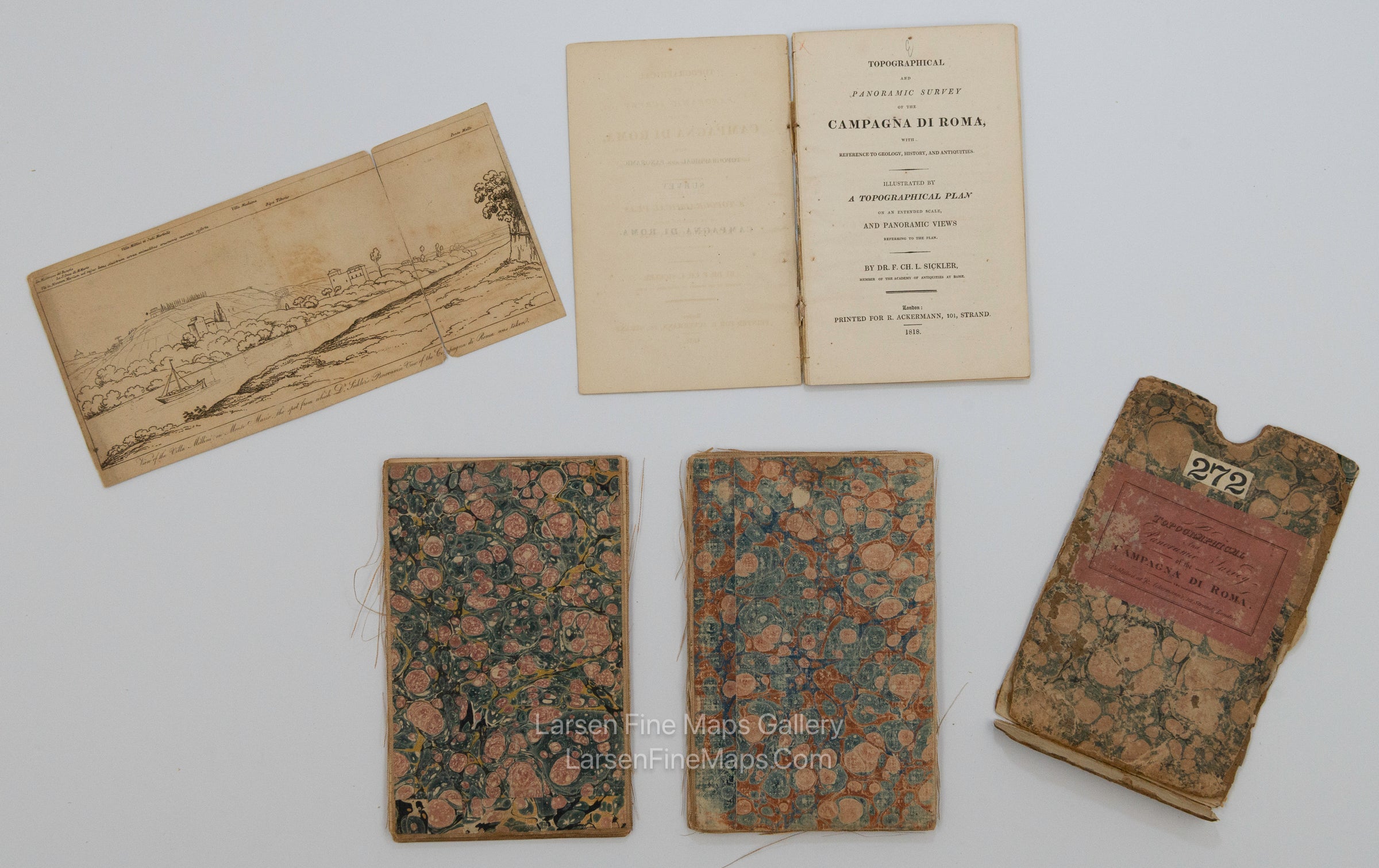
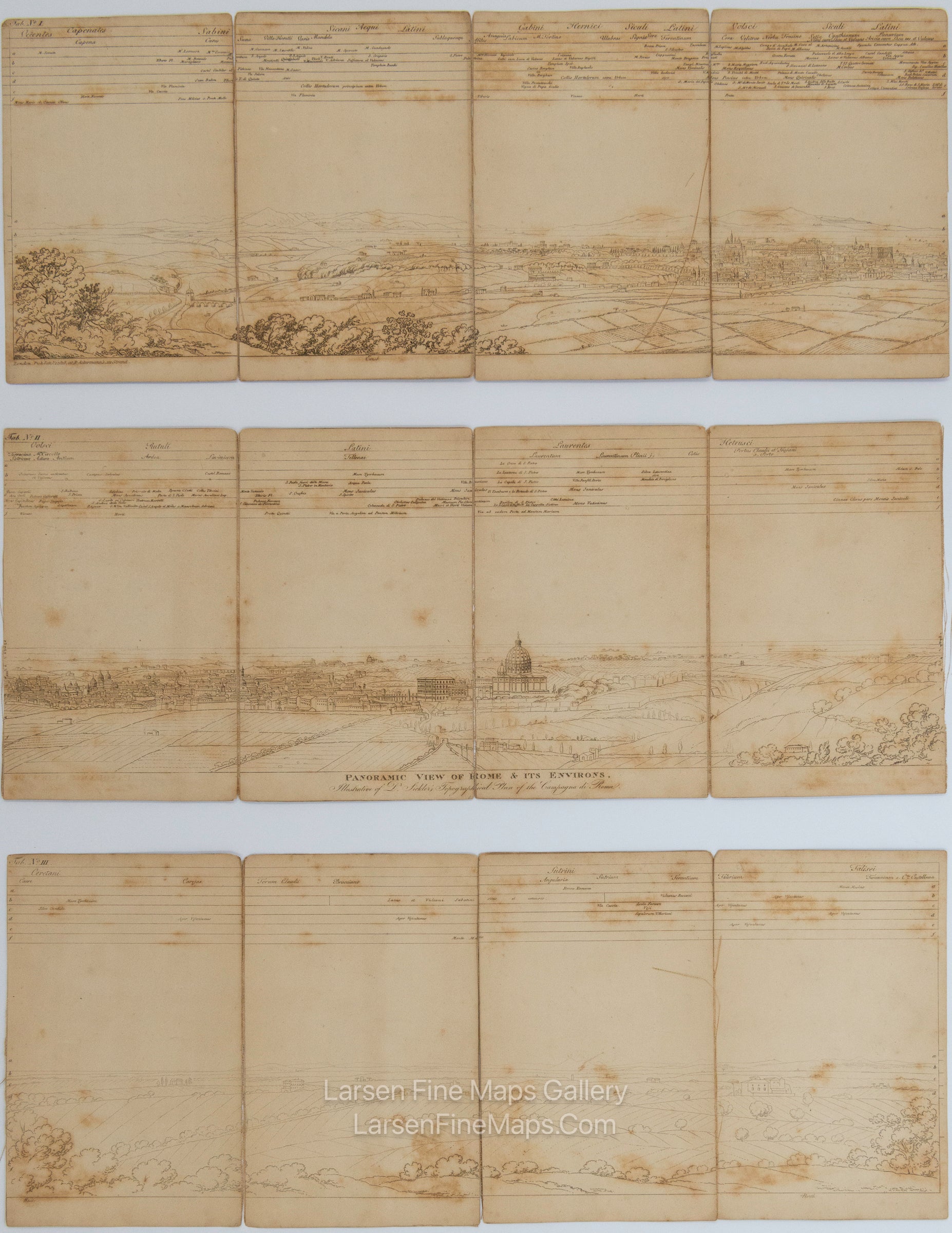
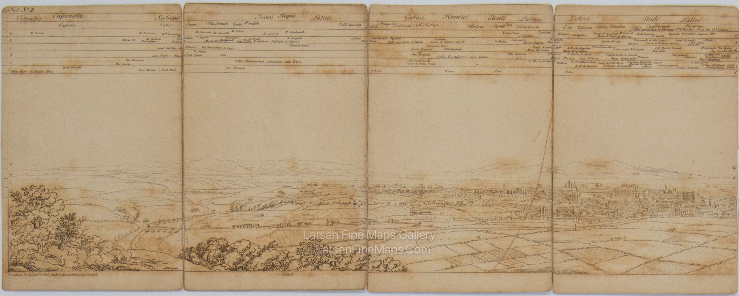
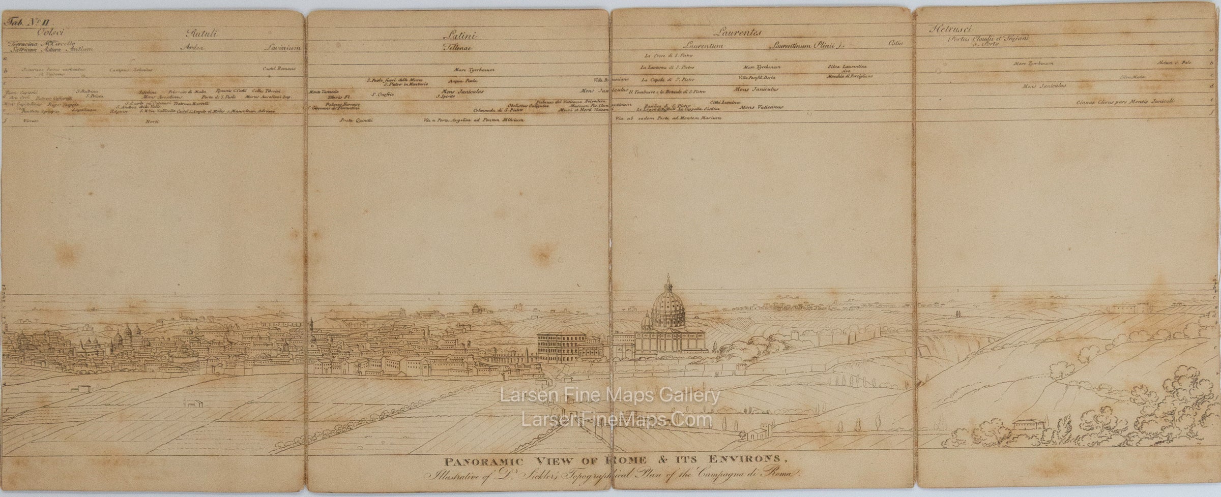
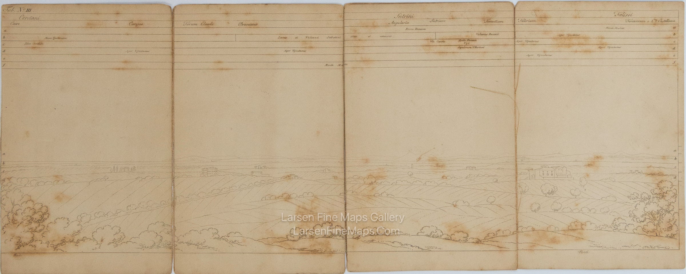
Relief is shown by form lines and hachures. The map is dissected on linen and comes in an original marble case. The map includes a very long panoramic view of its extent and a descriptive text pamphlet. This is a very unusual complete set and beautifully detailed.
Plan of the Roman countryside with classic and contemporary toponyms. Engraved by Pietro Ruga and designed by Friedrich Charles Lewis Sickler. Etching is printed on laid paper and applied to canvas (linen-backed).

FULL TITLE

Topographical Plan of the Campagna Di Roma, Designed and Explained by F. Ch. L. Sickler, D.D.
To serve as a Guide to the Traveler, the Historian, and Classic Scholar

MAPMAKER/CARTOGRAPHER/AUTHOR

Dr. Friedrich. Ch. L. Sickler, Member of The Academy of Antiques at Rome. Engraved by Pietro Ruga and designed by Friedrich Charles Lewis Sickler.

PUBLISHER

Printed for Ackermann, Rudolph, 101, Strand, London
A Rome : Chez Venance Monaldini Libraire Place d'Espagne N. 79

PUBLICATION

Topographical and Panoramic Survey of the Campagna Di Roma, with Reference to Geology, History, and Antiquities.
Illustrated by A Topographical Plan on an Extended Scale, and Panoramic Views Refering to the Plan.

DIMENSIONS (Inches)

34 X 22

CONDITION

The map tiles are in very good condition with overall toning and some foxing. Perspective view has foxing and overall toning. The linen is fragile and largely separated at fold seams. Despite the linen issues, this is a fabulous map. Needs to be re-backed. Case is worn but complete. See photos for details.