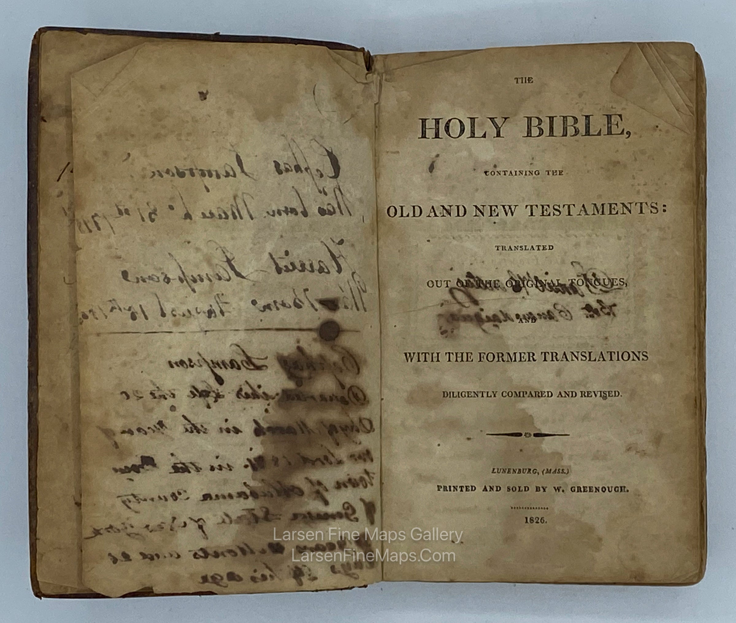
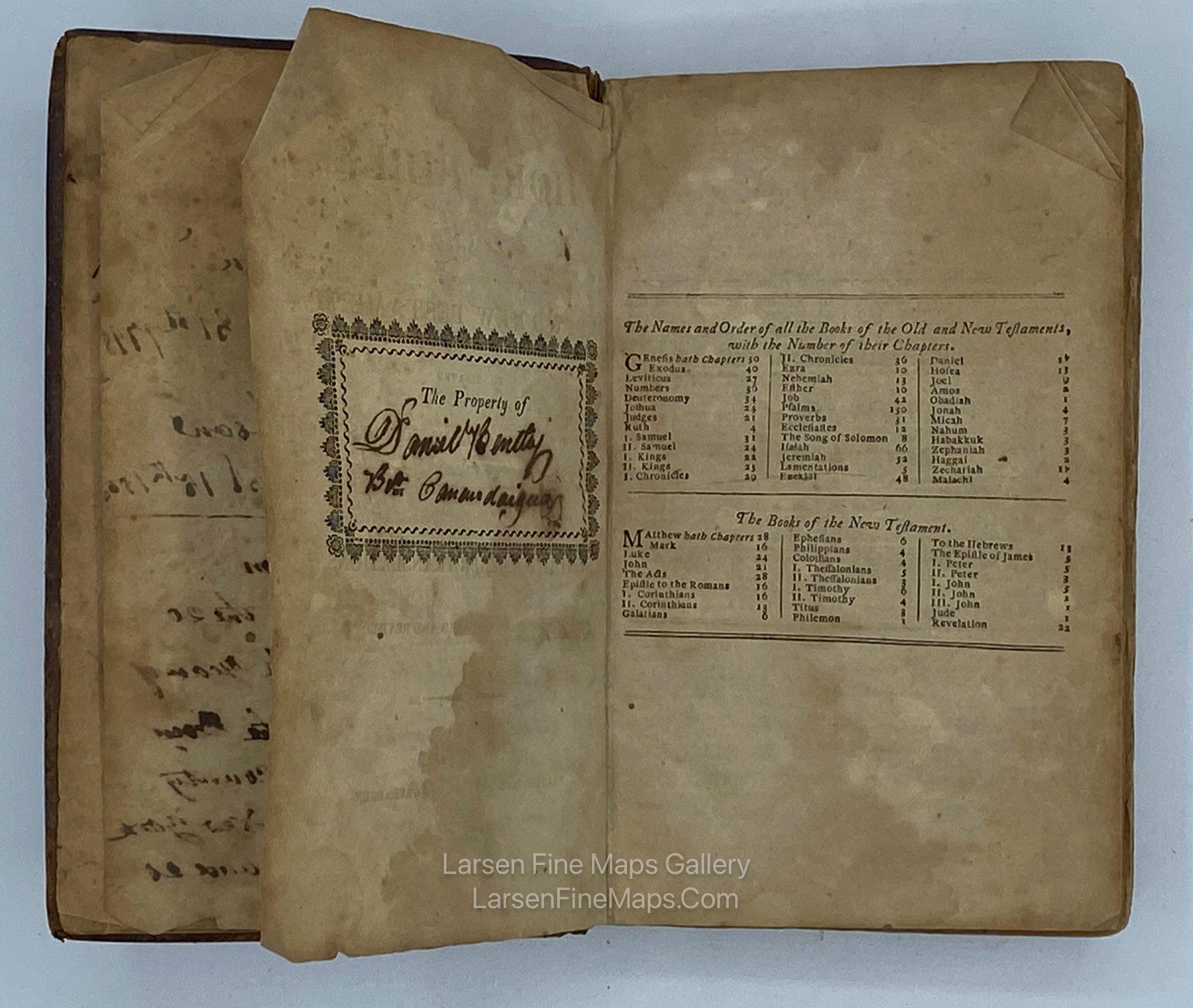
YEAR PUBLISHED: 1861
Topographical Map of Virginia between Washington and Manassas Junction, Civil War Letter with Original Accompanying Bible
DESCRIPTION
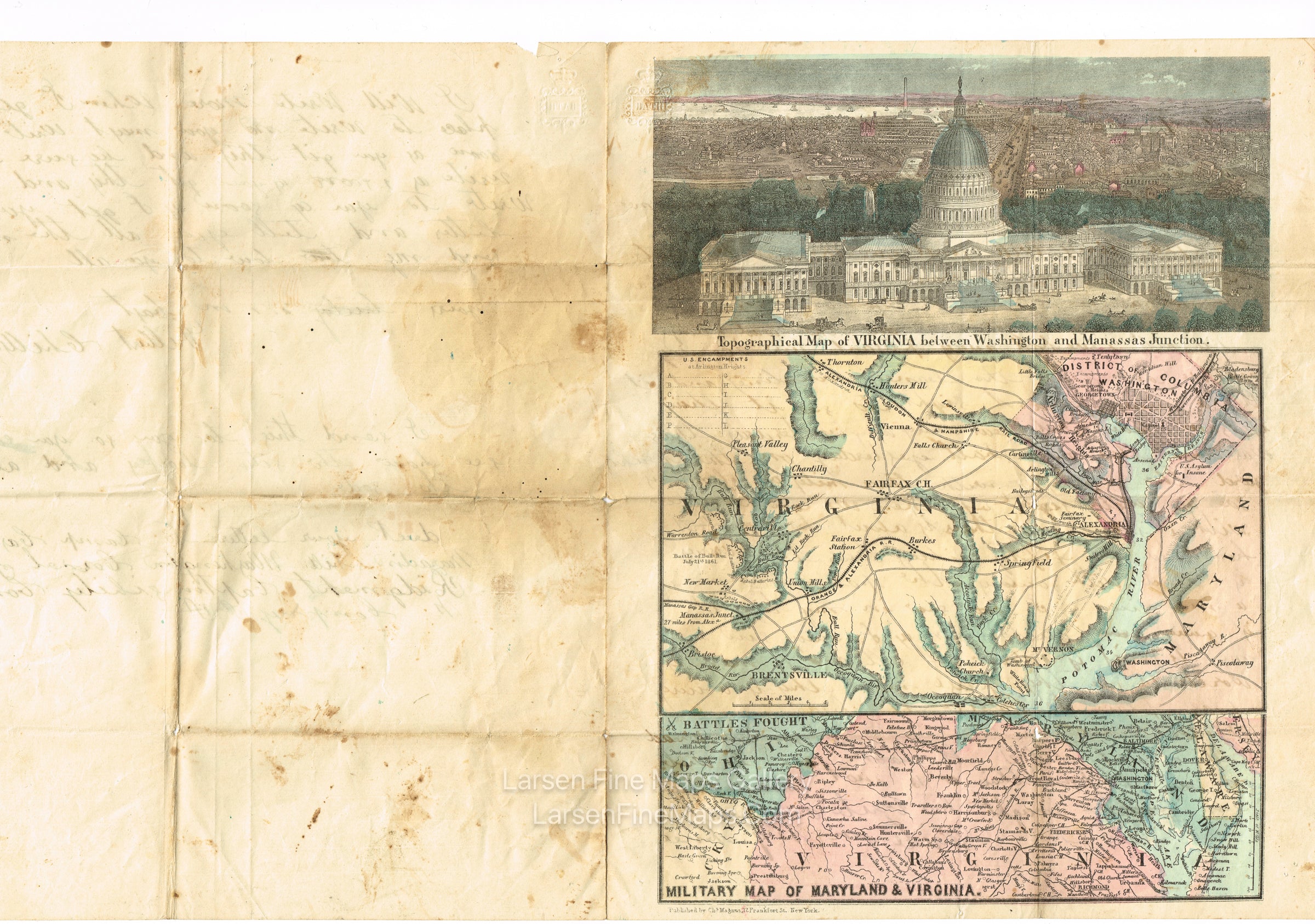
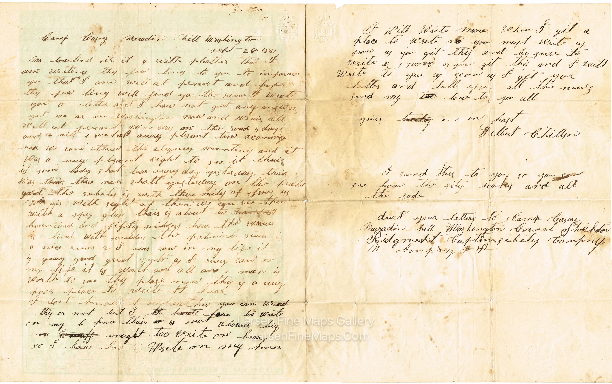
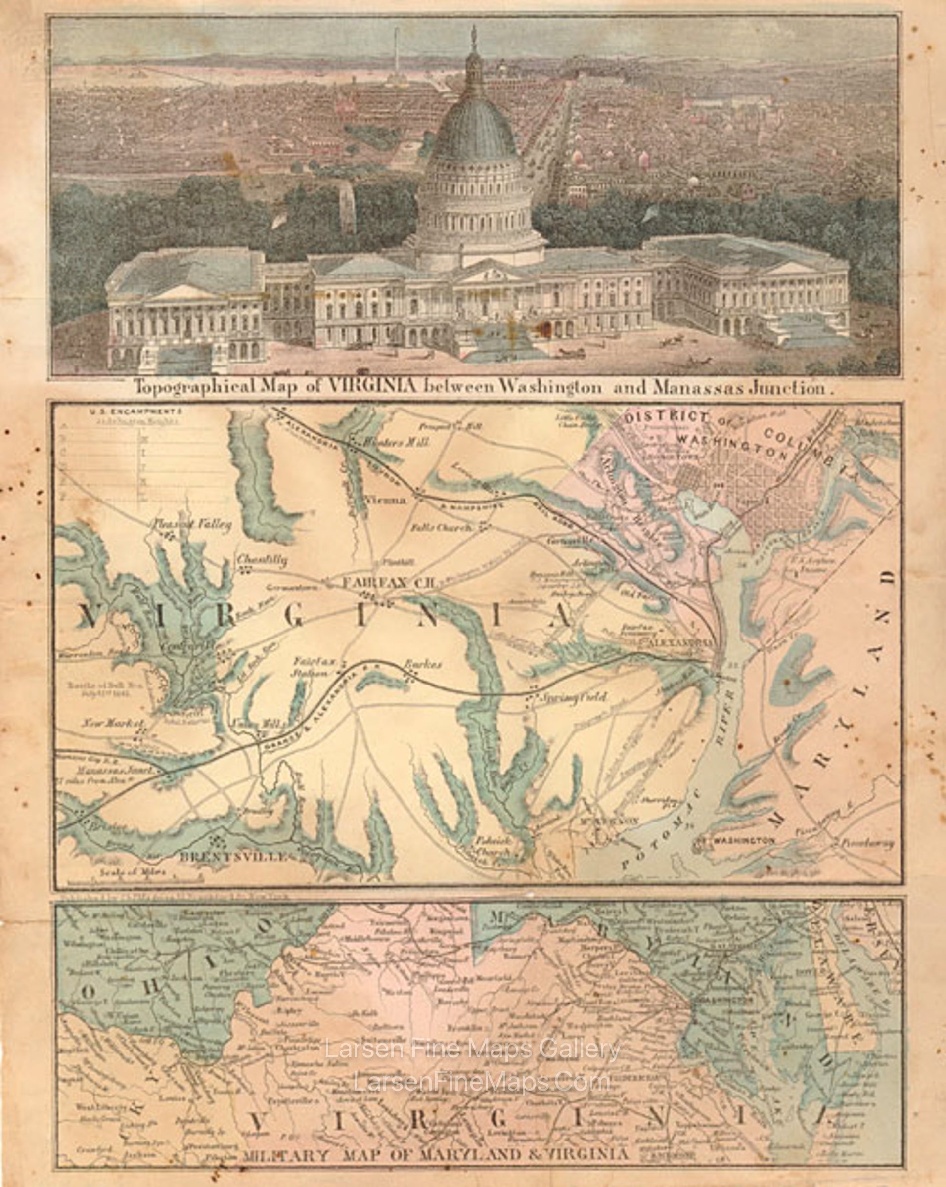
Charles Magnus. Includes handwritten civil war soldier's letter home. Letter dated Sept 24, 1861. Map also is unique in that it has "Battles Fought" on the lower map. Shows Union and Confederate positions at "Battle of Bull Run, July 21st 1861."
Relief shown by hachures.
Perspective view of the Capitol Building.
Rare letter sheet with the Capitol Building, which has a hand-written letter by a Civil War soldier. The dates on that particular map, the date that the soldier wrote the letter, and the re-construction of the capitol dome timeline that had me intrigued. I believe that Magnus took some artistic license in completing his artwork of the Capitol in 1861 (NOT 1863), and he made some mistaken assumptions. I’ll explain…
· The soldier, Gilbert Chillson, wrote his letter on September 24, 1861.
· The map shows the Battle of Bulls Run, July 21st 1861 near the left margin.
· The dome on the capitol building looks “PhotoShopped in”, if you will. The dome is shown mistakenly in the green color of weathered copper, which is what the former dome was constructed out of (the new dome is painted cast iron). In 1861, construction on the dome was underway and likely cloaked in scaffolding and construction cranes of the time. The plans and/or renderings of the new Capitol were probably publicly displayed in some fashion. Magnus also may have acquired the likeness of The Statue of Freedom as it was likely onsite waiting to be mounted atop the dome.
Given all of these data, I surmise that the letter sheets depicting this view of the Capitol Building were initially published between late July and Mid-September, 1861 and not 1863 as seen in many listings online.
FULL TITLE
MAPMAKER/CARTOGRAPHER/AUTHOR
PUBLISHER
PUBLICATION
DIMENSIONS (Inches)
CONDITION
Choose options

DESCRIPTION
FULL TITLE
MAPMAKER/CARTOGRAPHER/AUTHOR
PUBLISHER
PUBLICATION
DIMENSIONS (Inches)
CONDITION
DESCRIPTION
FULL TITLE
MAPMAKER/CARTOGRAPHER/AUTHOR
PUBLISHER
PUBLICATION
DIMENSIONS (Inches)
CONDITION