YEAR PUBLISHED: 1947
State of Washington Historical Map
DESCRIPTION
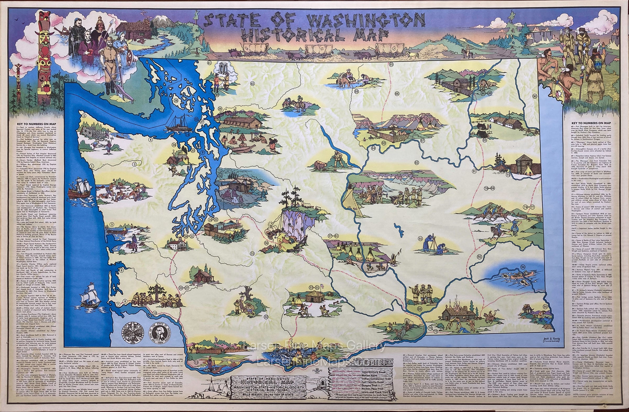
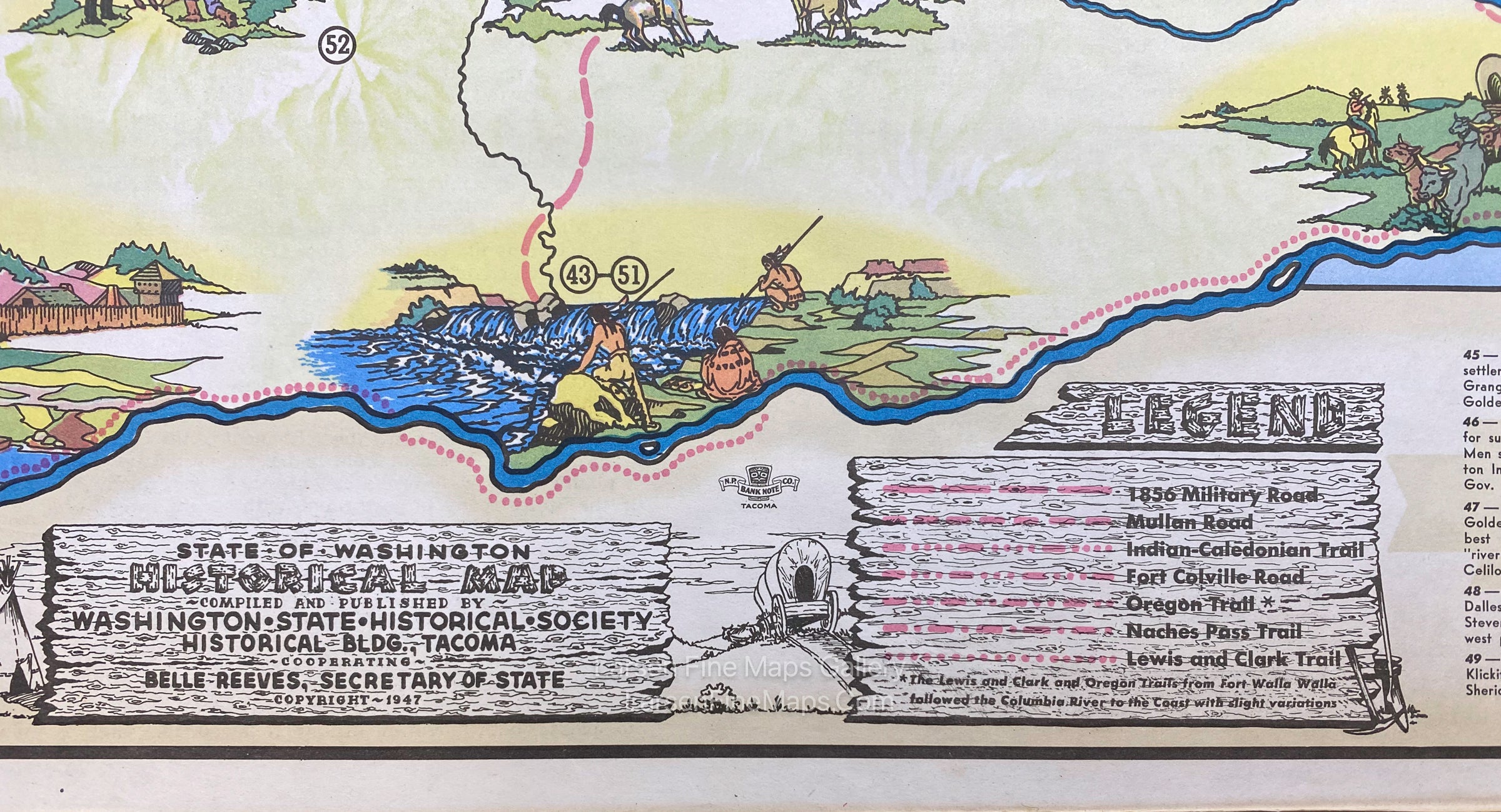
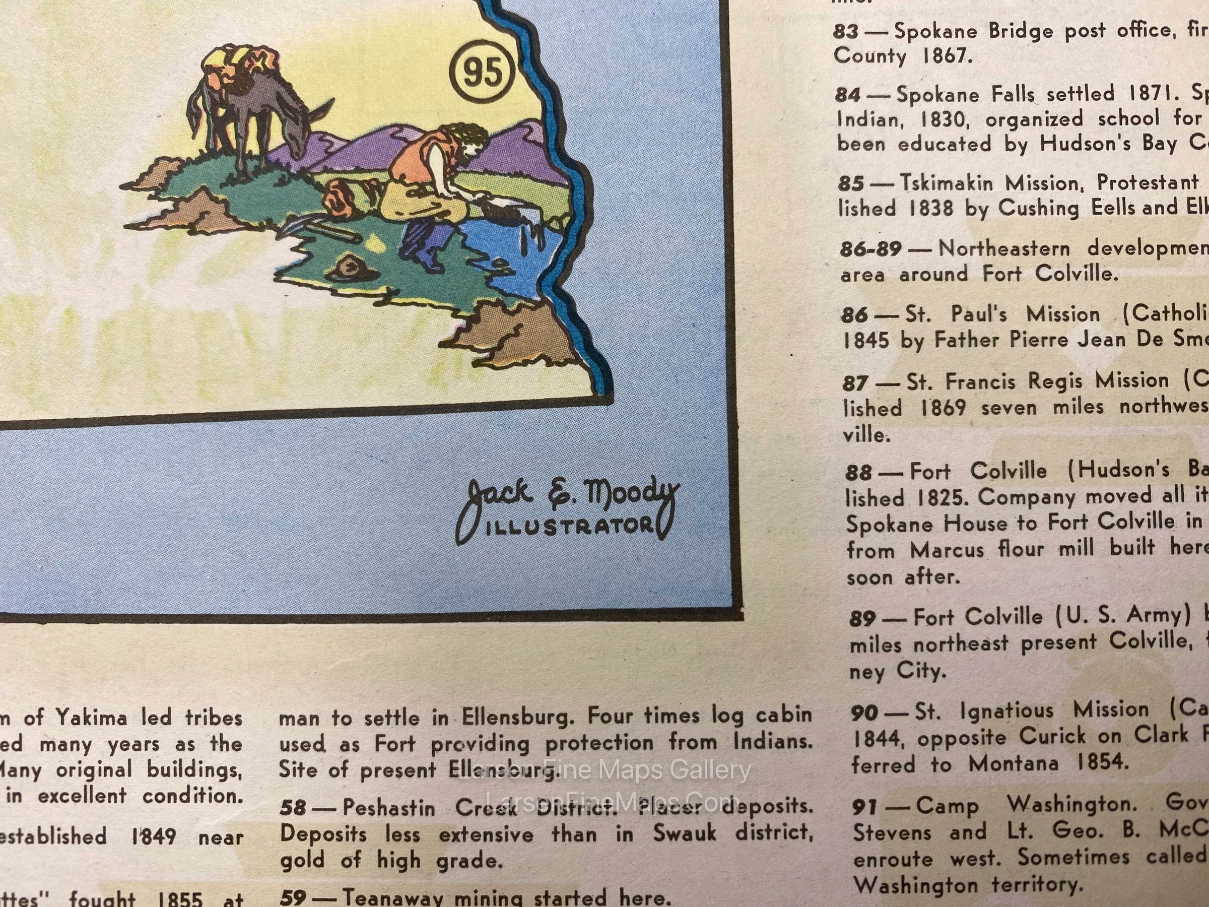
This is a striking example of this vintage pictorial map of the State of Washington's history. The map is printed on both sides with numbered artistic vignettes depicting historical events. A key with all of the history described surrounds three sides of the map. The lower center also shows a legend of the old roads and trails.
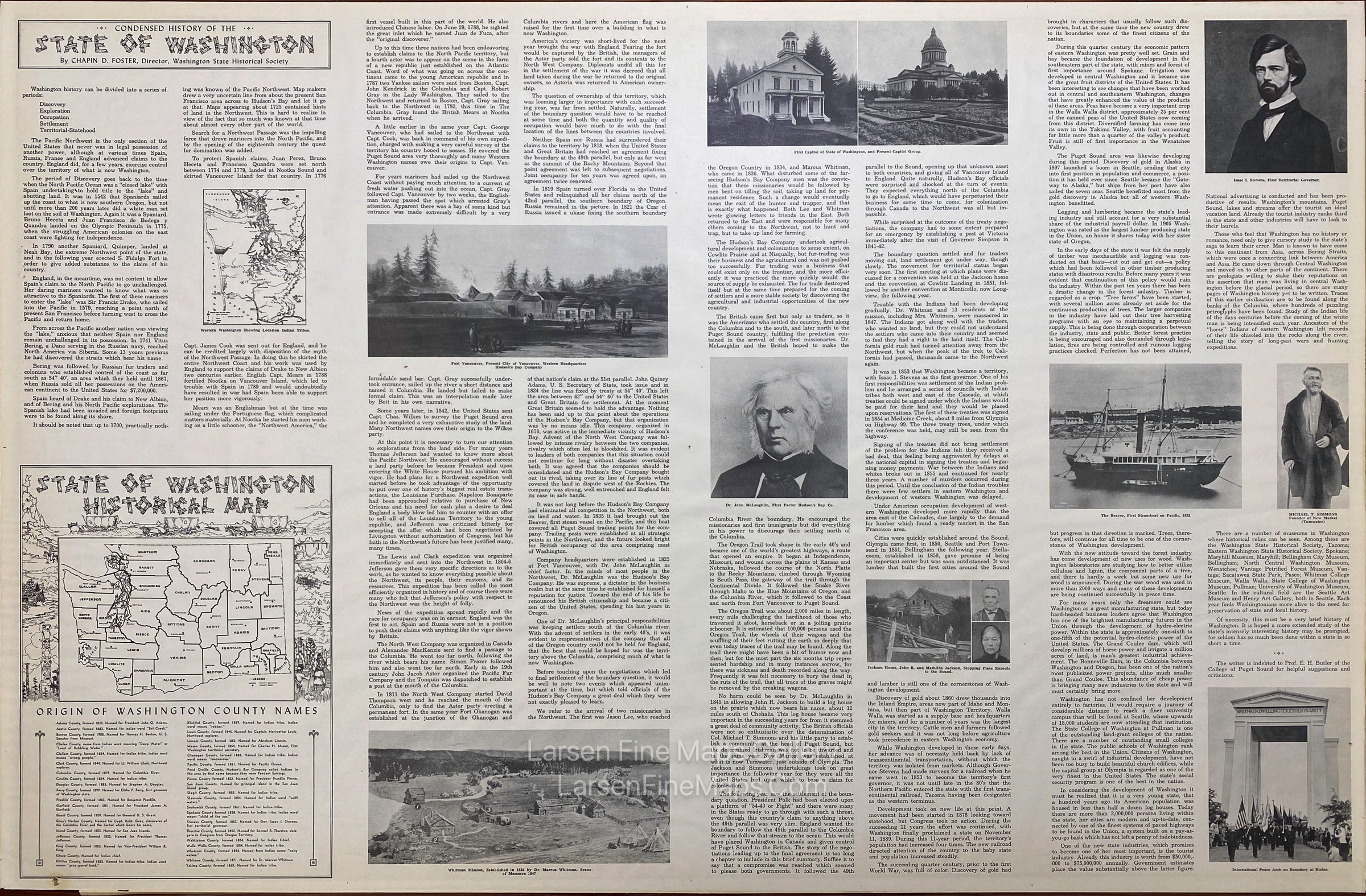
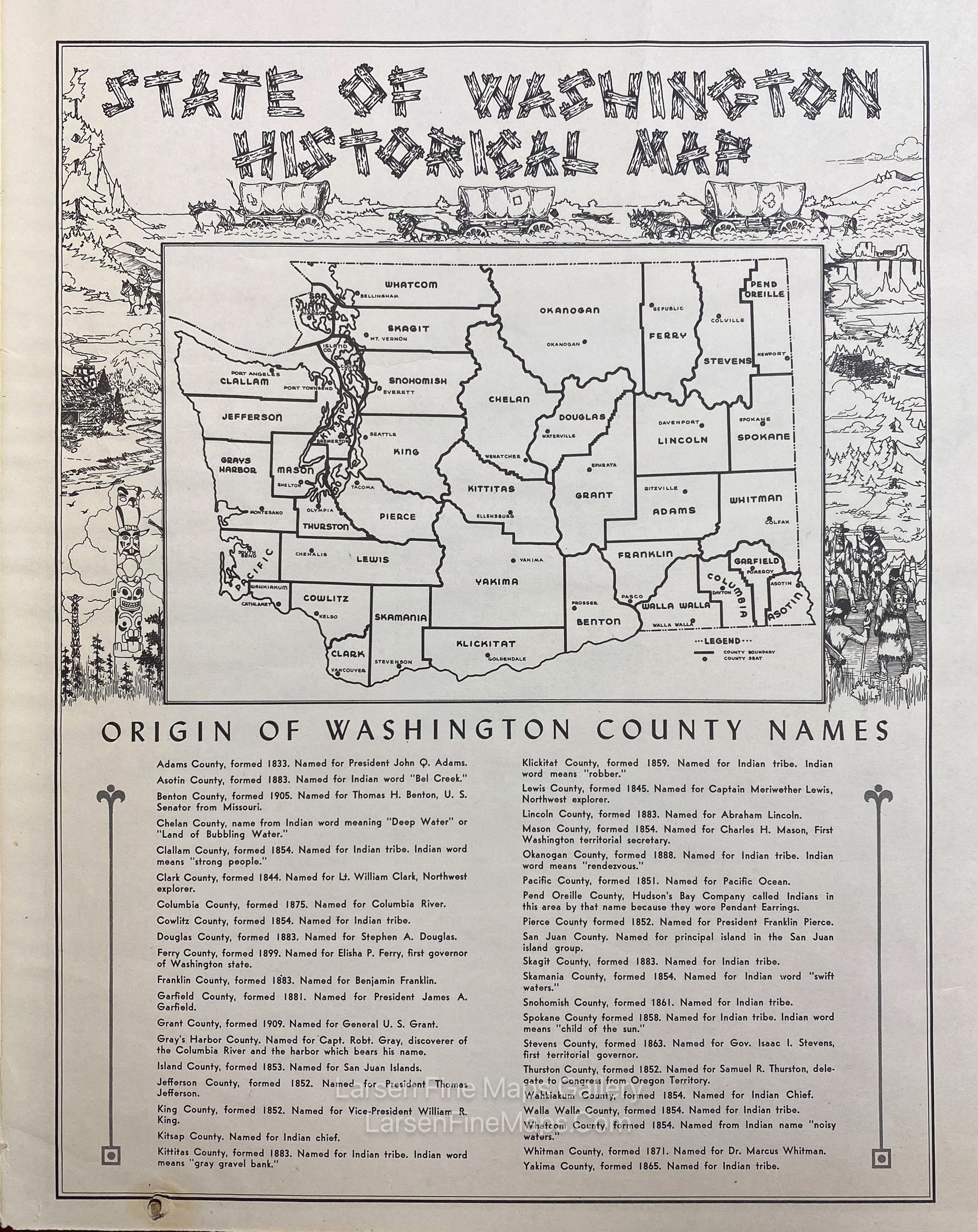
On the verso is a "Condensed History of the State of Washington" by Chapin D. Foster, Director, Washington State Historical Society. The text is interspersed with illustrations, photos, maps, and a listing of county names and their origins.
FULL TITLE
MAPMAKER/CARTOGRAPHER/AUTHOR
PUBLISHER
PUBLICATION
DIMENSIONS (Inches)
CONDITION
Choose options
DESCRIPTION
FULL TITLE
MAPMAKER/CARTOGRAPHER/AUTHOR
PUBLISHER
PUBLICATION
DIMENSIONS (Inches)
CONDITION
DESCRIPTION
FULL TITLE
MAPMAKER/CARTOGRAPHER/AUTHOR
PUBLISHER
PUBLICATION
DIMENSIONS (Inches)
CONDITION