YEAR PUBLISHED: 1820
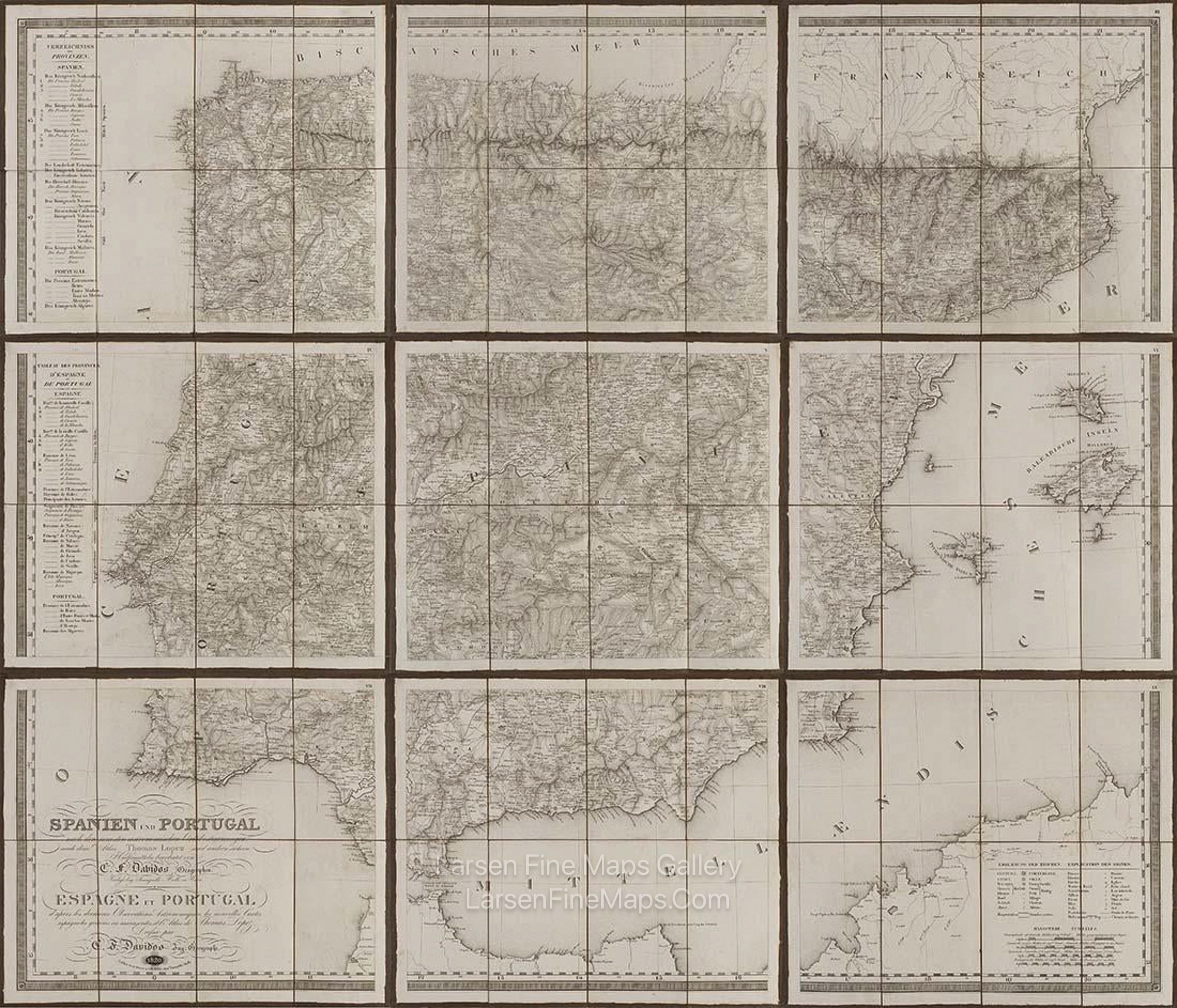
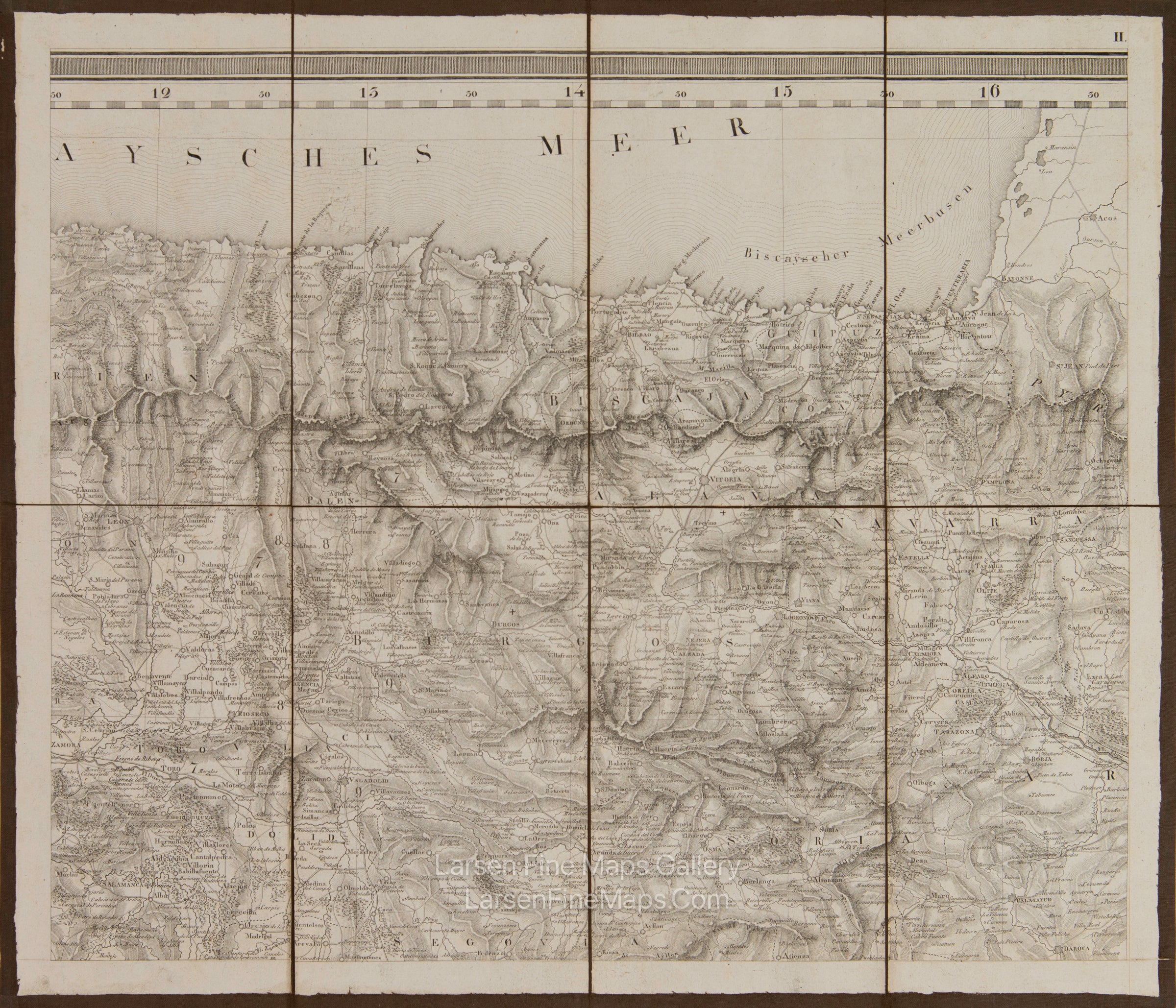
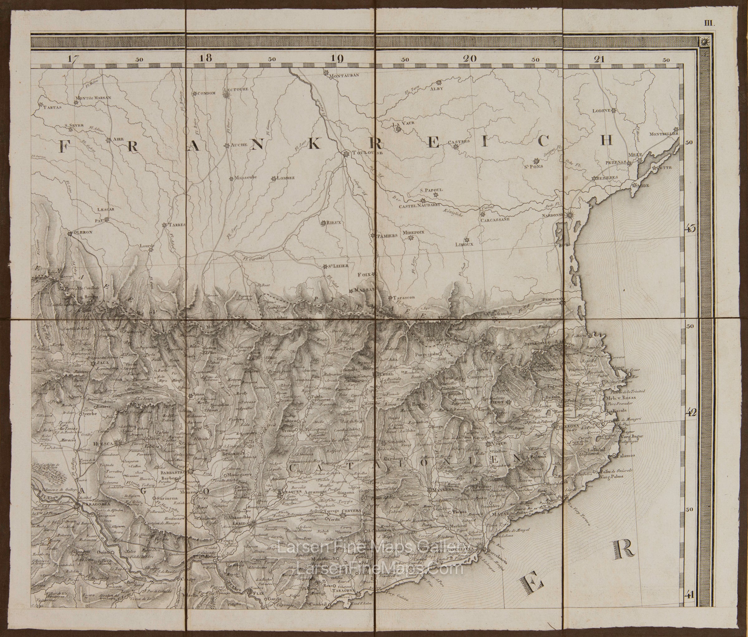
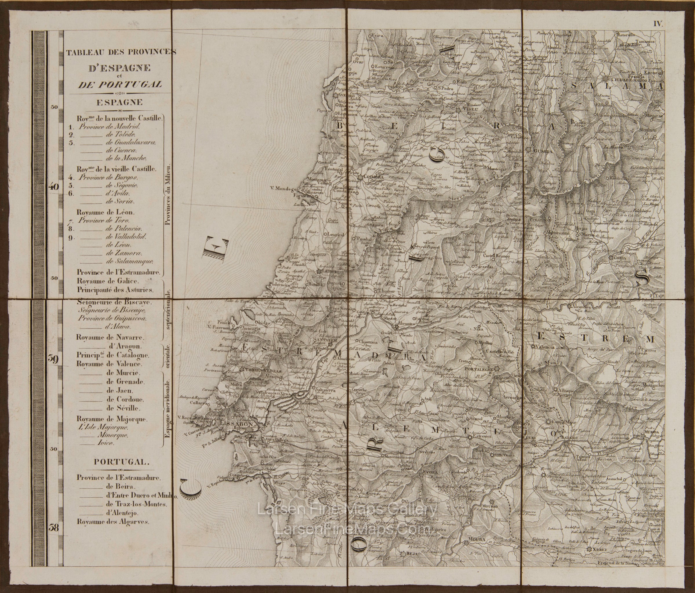
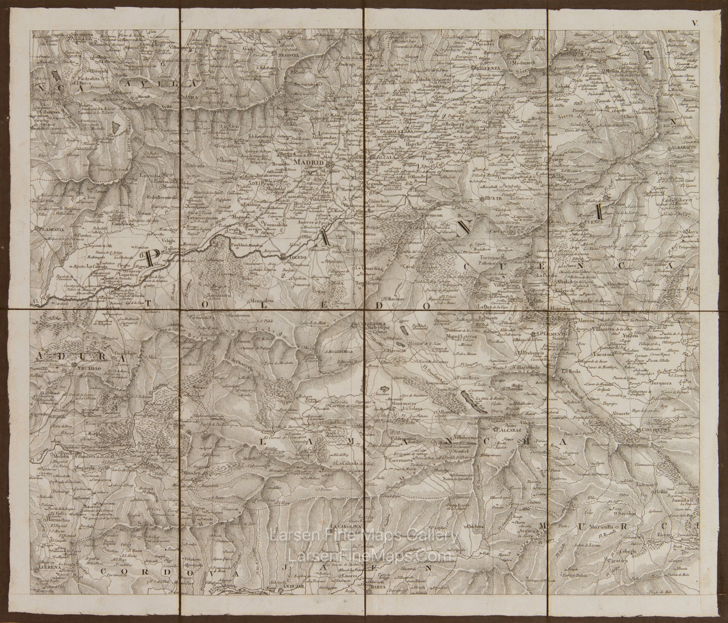
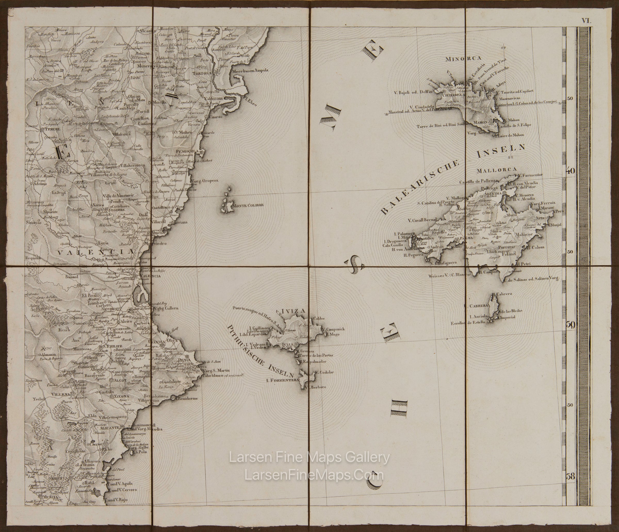
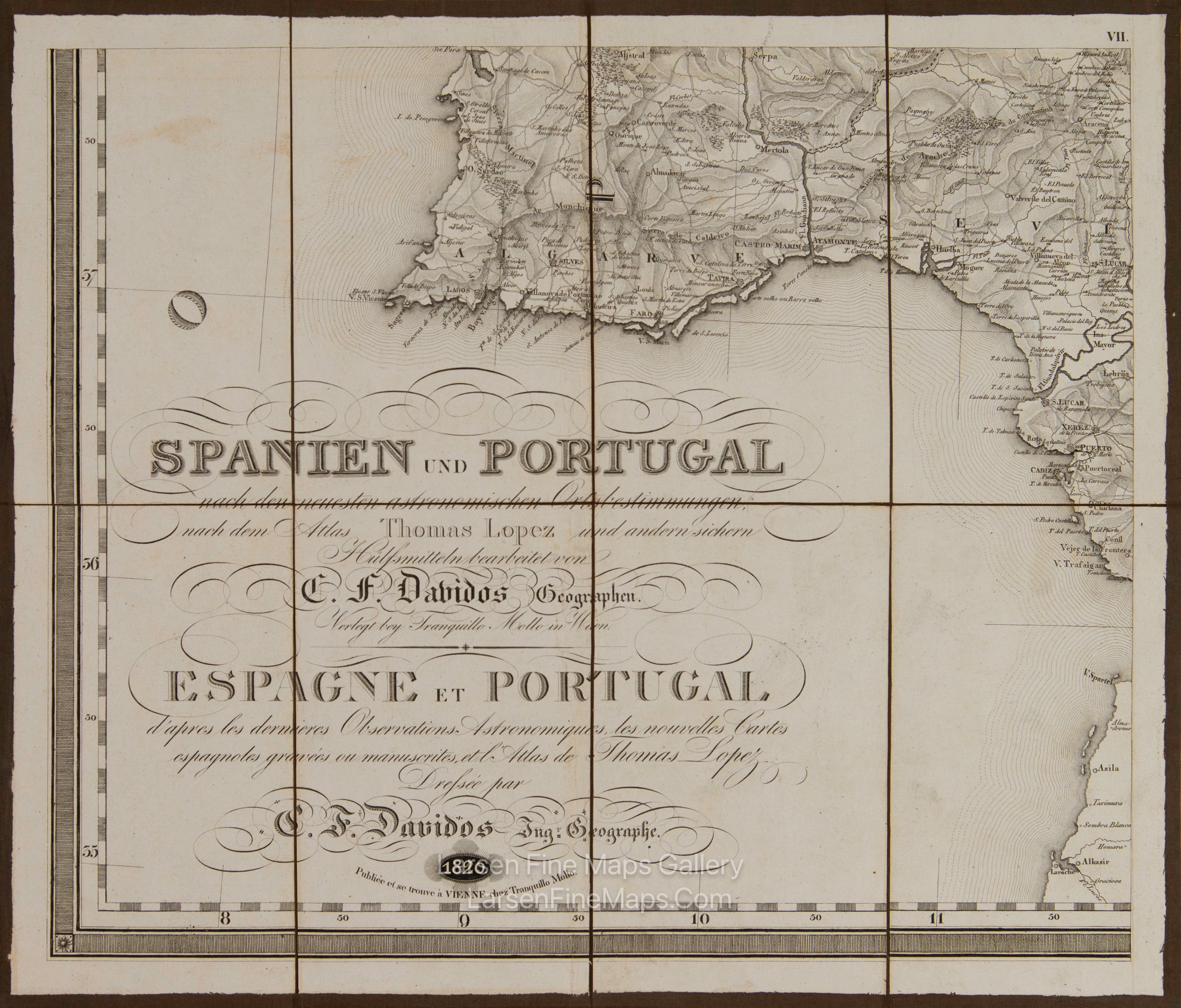
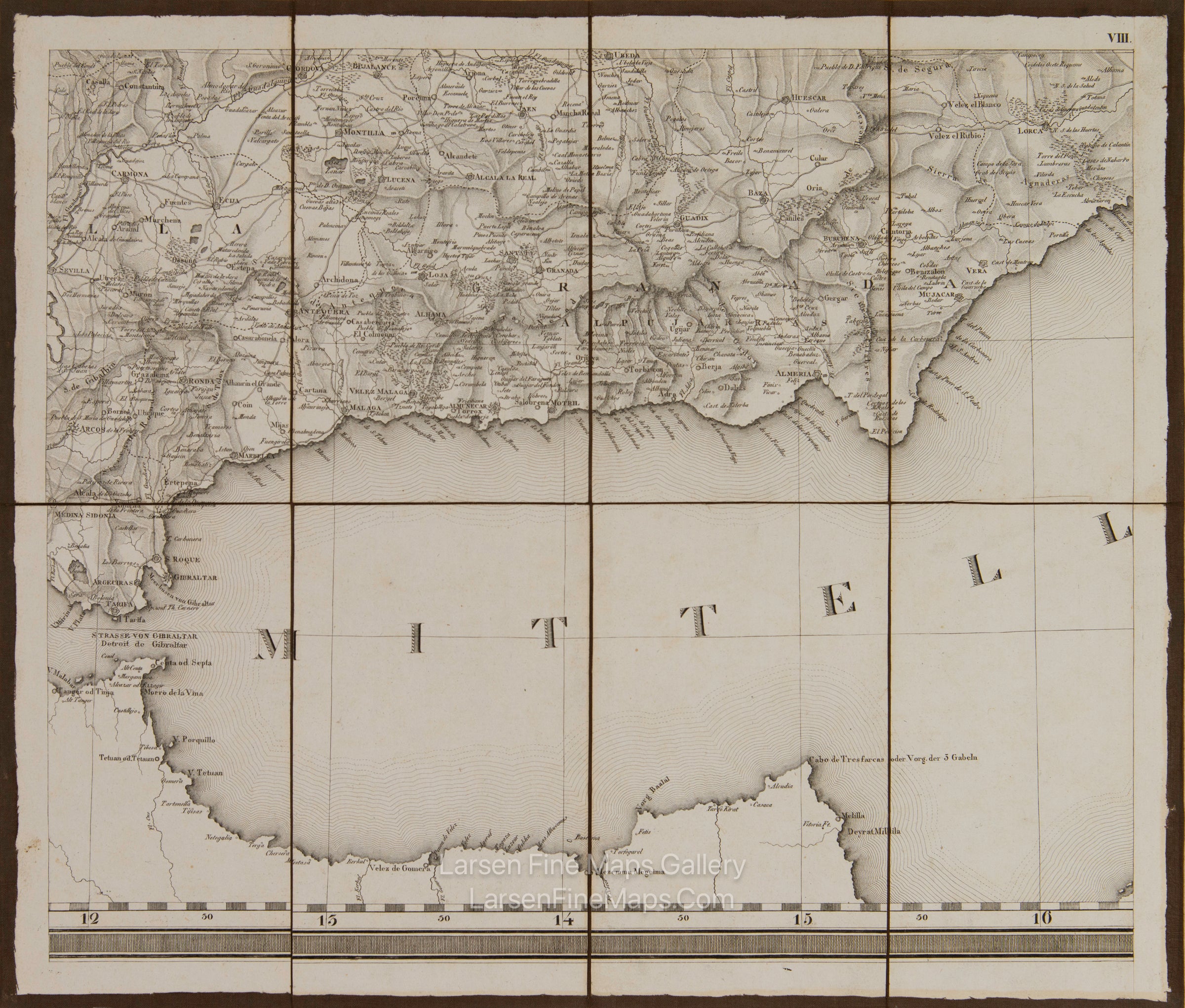
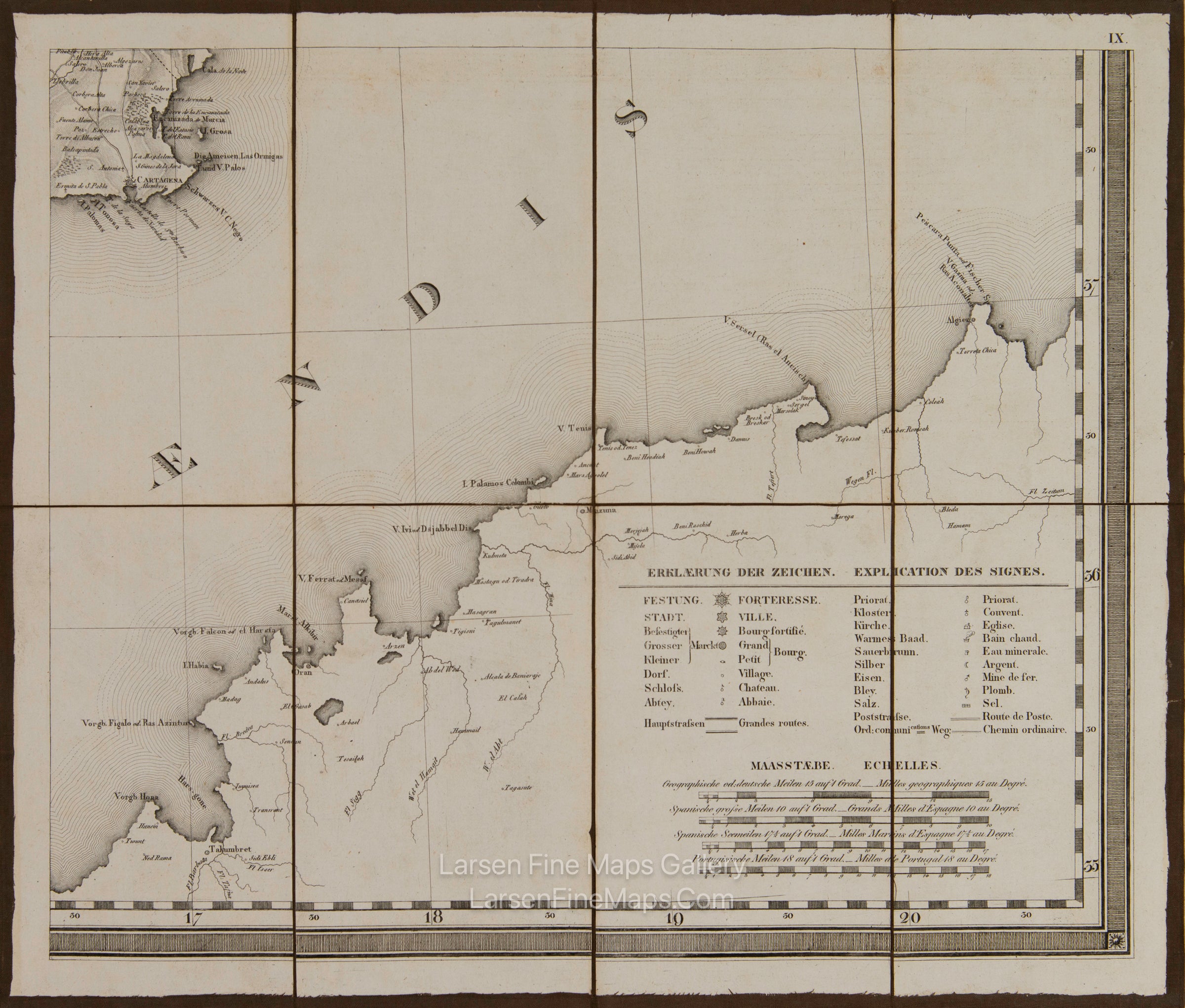
Spanien und Portugal nach den neuesten astronomischen Ortsbestimmungen, nach dem, Atlas Thomas Lopez. Espagne et Portugal, d'apres les dernieres Observations Astronomiques, les nouvelles Cartes Espagnoles gravées ou manuscrites, et l'Atlas de Thomas Lopez
DESCRIPTION
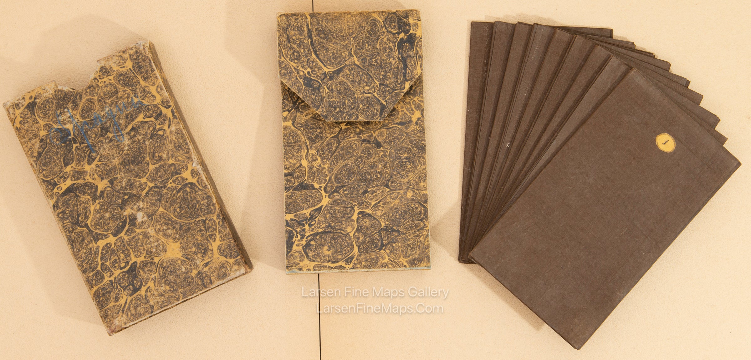
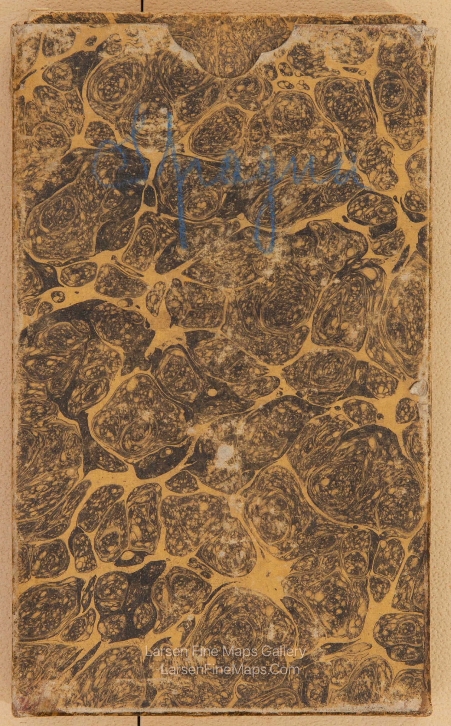
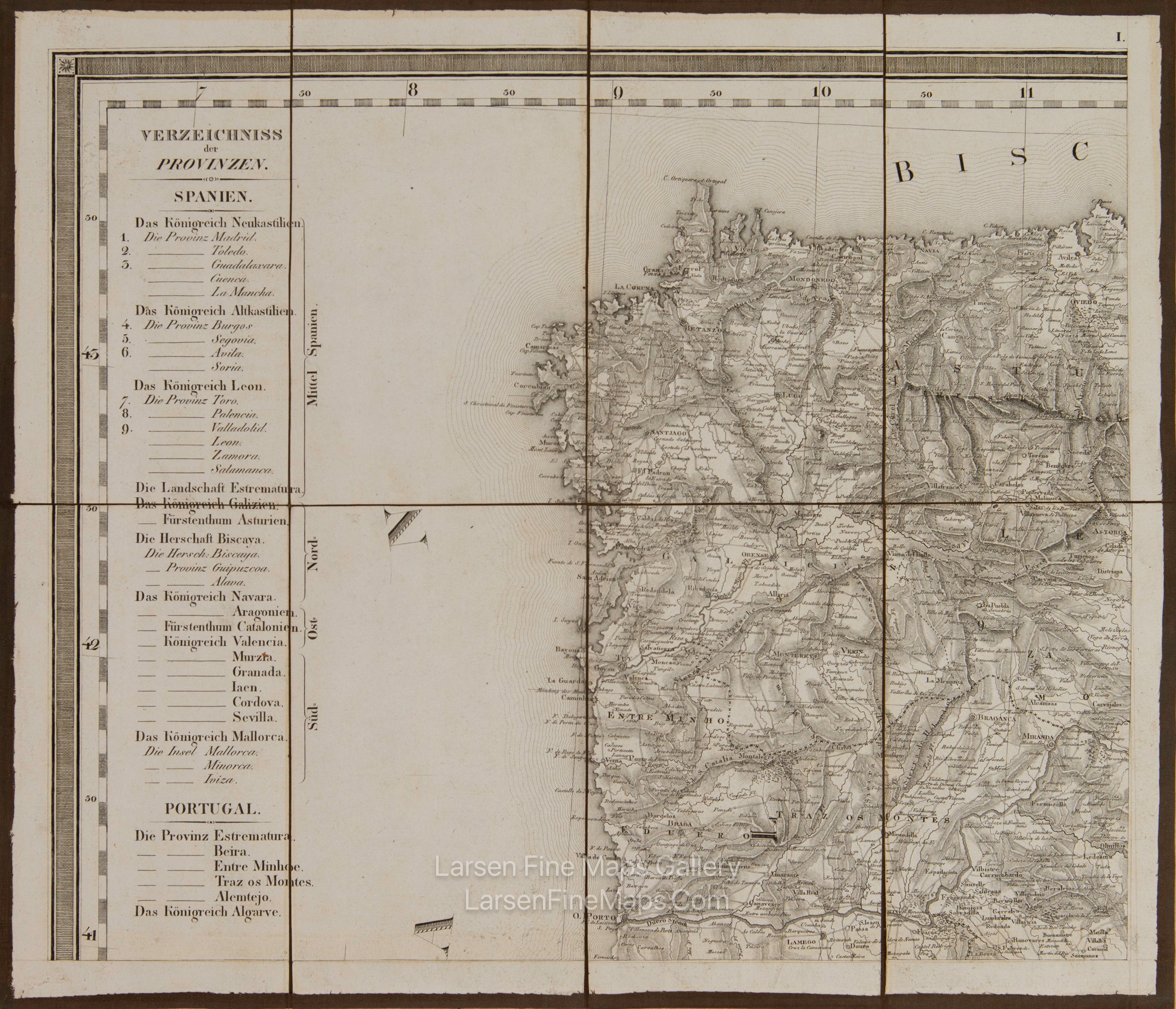
A gorgeous and striking large and beautifully detailed map of Spain and Portugal. Each province is outlined in color. Notes hundreds of towns, villages, roads, lakes, rivers, islands, points, harbors, bays, etc. Topography depicted by hachures. This map has title blocks, a table of provinces, and legends in both German and Spanish. The case map set consists of nine map sheets on dark brown linen backing, folded and numbered. The original case is included and is in great shape. The maps together are approximately 57" x 49.5". The maps are in pristine near-mint condition.
FULL TITLE
MAPMAKER/CARTOGRAPHER/AUTHOR
PUBLISHER
PUBLICATION
DIMENSIONS (Inches)
CONDITION
Choose options

DESCRIPTION
FULL TITLE
MAPMAKER/CARTOGRAPHER/AUTHOR
PUBLISHER
PUBLICATION
DIMENSIONS (Inches)
CONDITION
DESCRIPTION
FULL TITLE
MAPMAKER/CARTOGRAPHER/AUTHOR
PUBLISHER
PUBLICATION
DIMENSIONS (Inches)
CONDITION