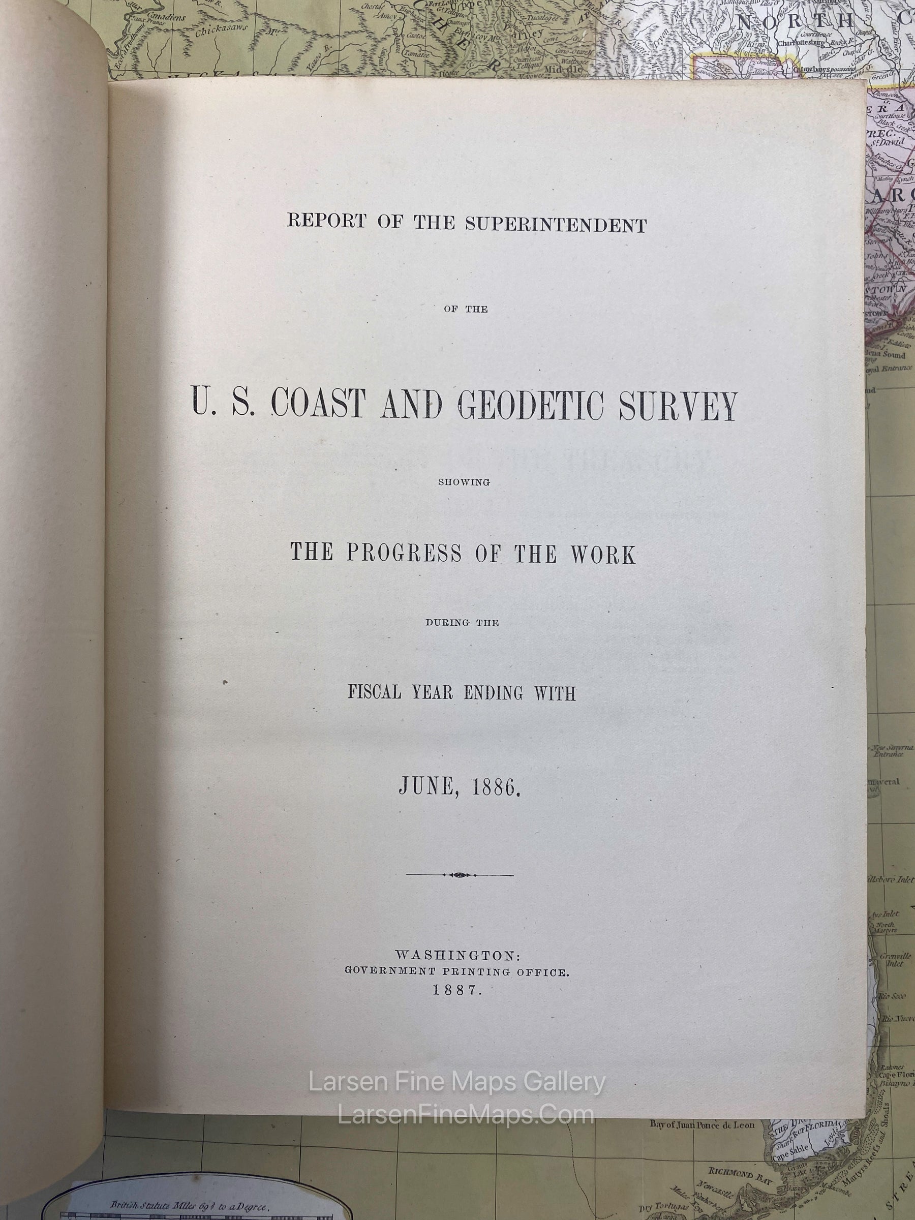
Report of The Superintendent of the U.S. Coast and Geodetic Survey showing The Progress of The Work during the Fiscal Year Ending With June, 1886

YEAR PUBLISHED: 1886

Report of The Superintendent of the U.S. Coast and Geodetic Survey showing The Progress of The Work during the Fiscal Year Ending With June, 1886

Sale price$245.00
SKU: 1418

DESCRIPTION

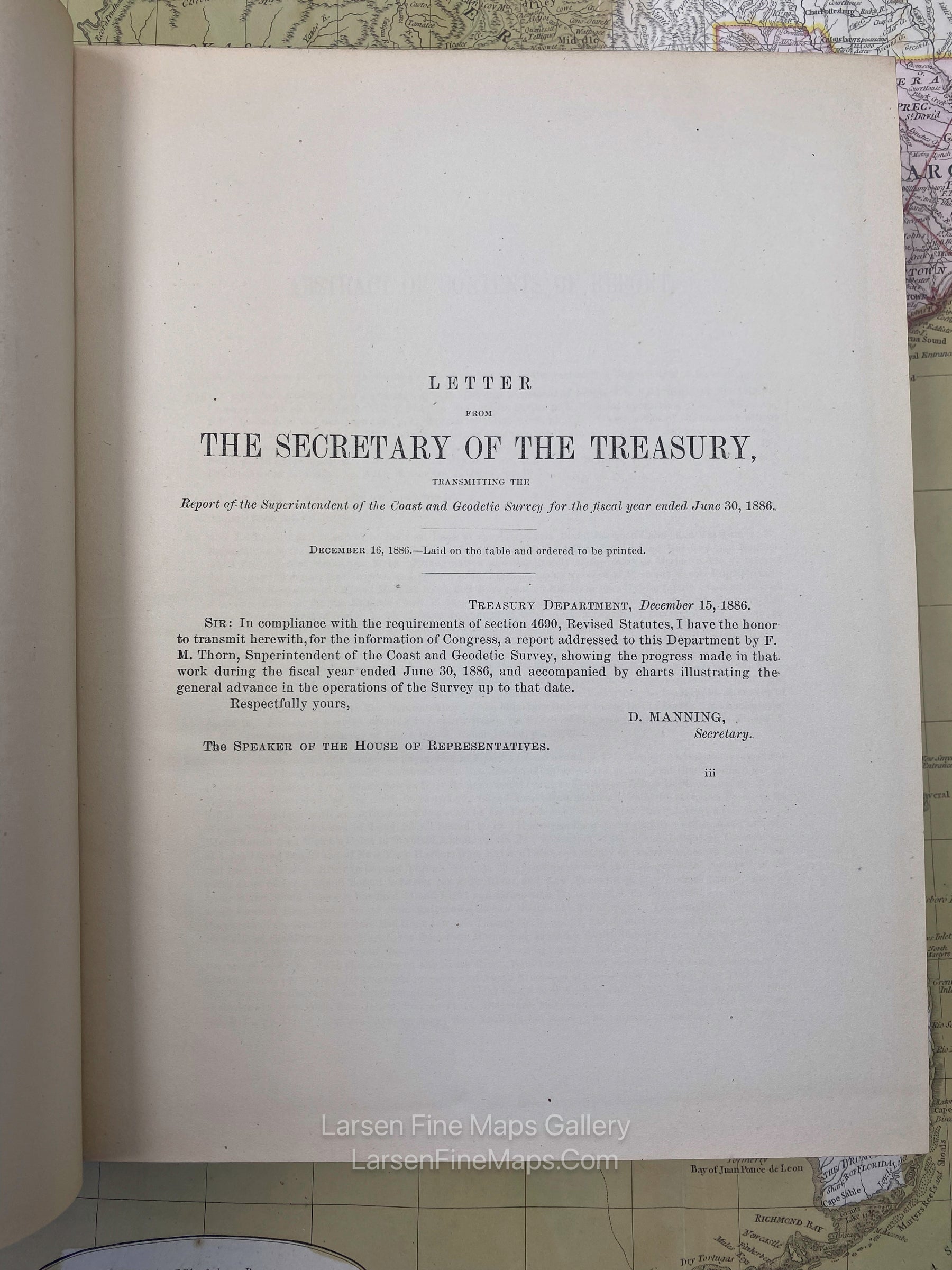
Annual Report of the Superintendent, Coast and Geodetic Survey to the Secretary of Commerce and Labor.

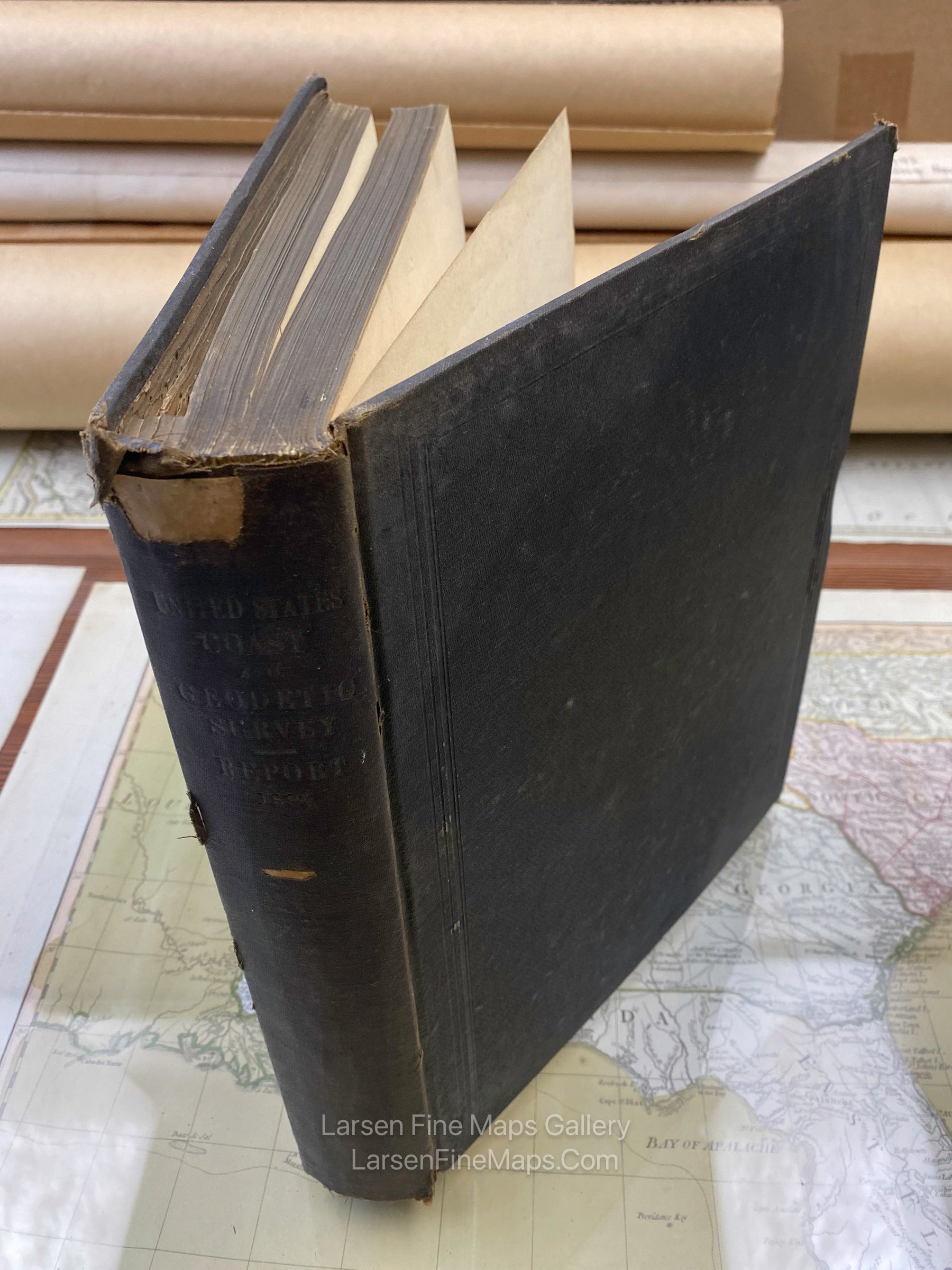
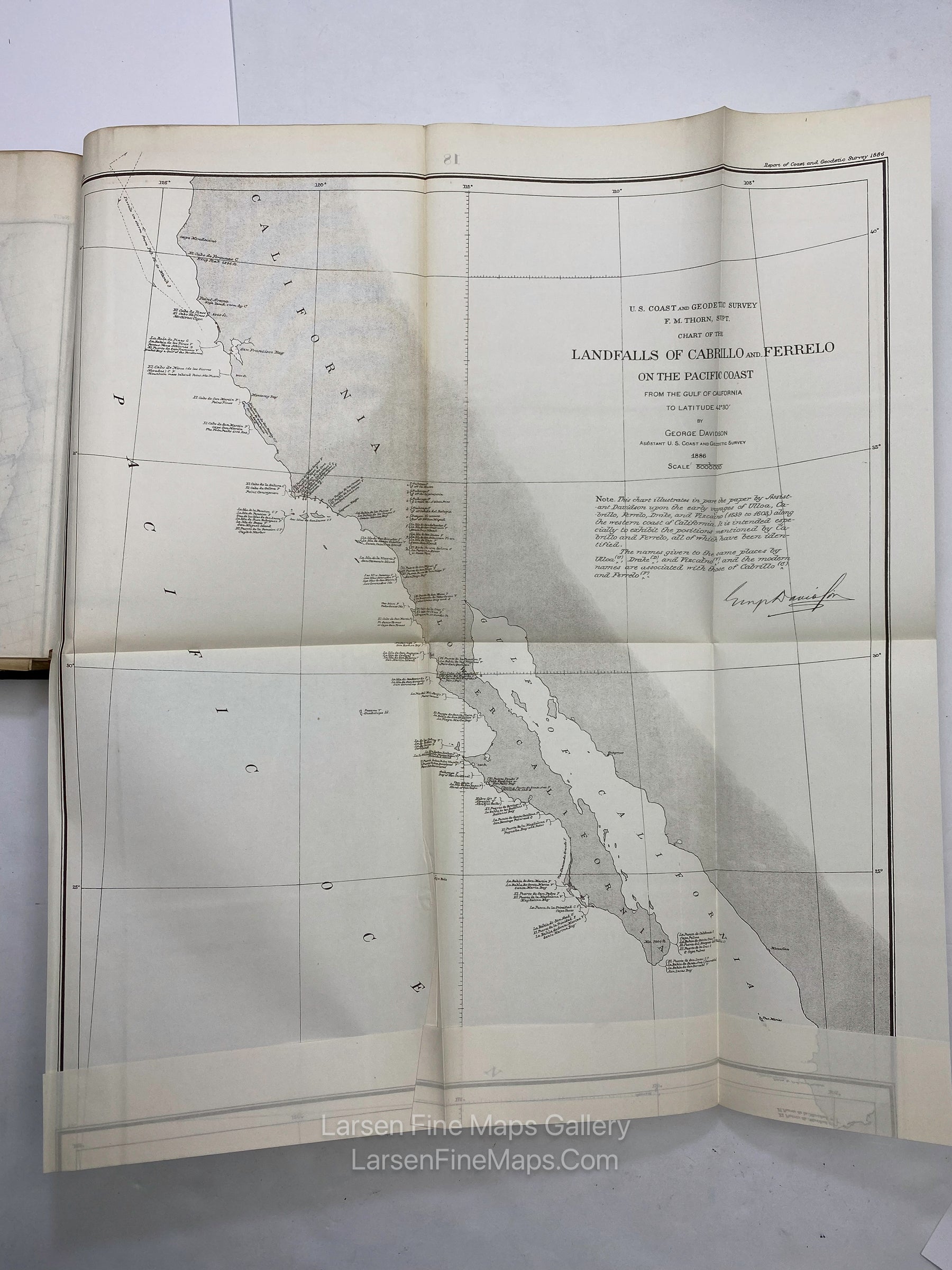
The report(s) and maps are formerly of the British Admiralty Library's collection.  Numerous fold out maps and/or charts.

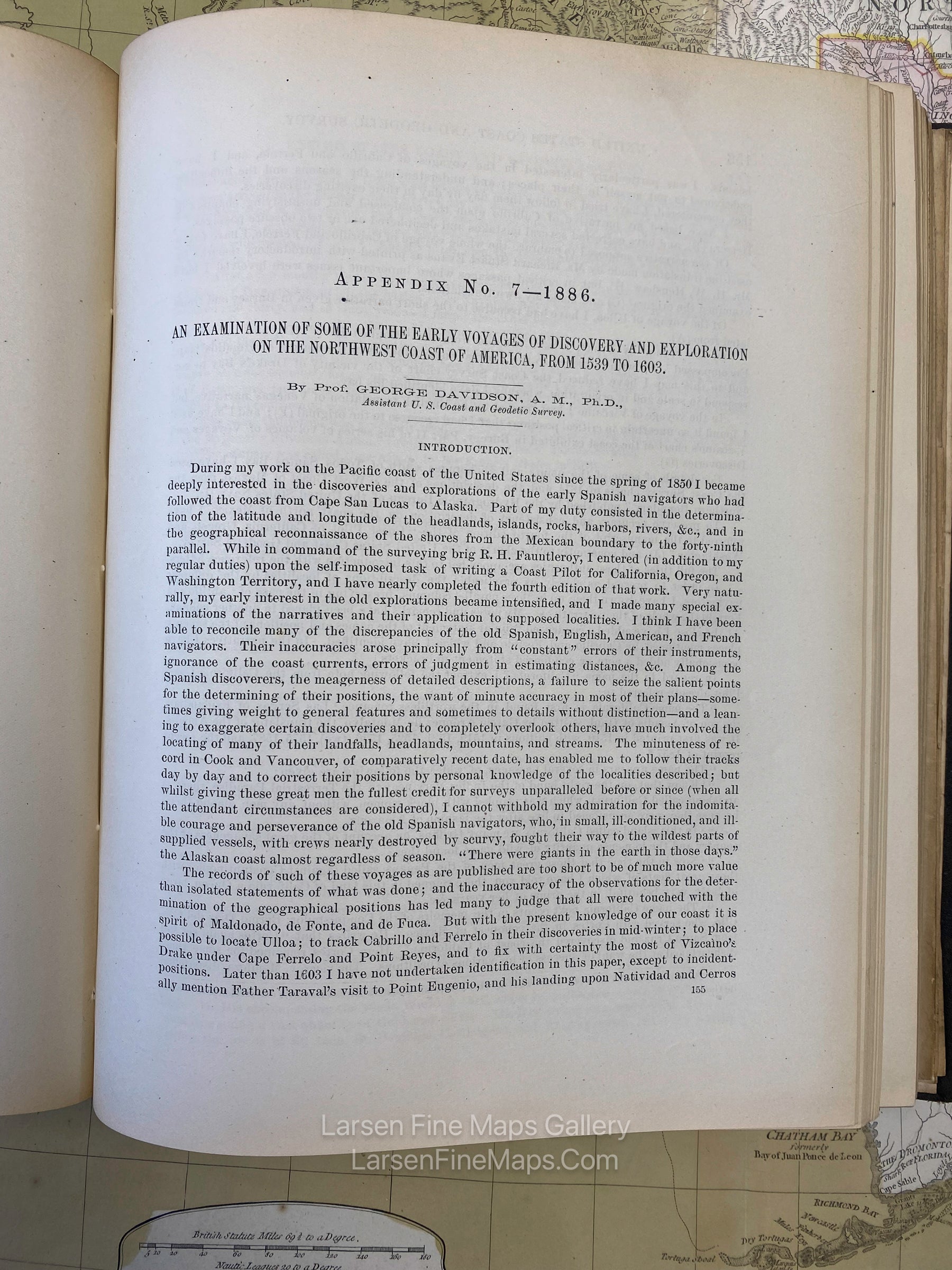
This set is an important, hard-to-find edition containing the long detailed report by George Davidson on explorers that have navigated along the California coast, along with chronology and nomenclature.

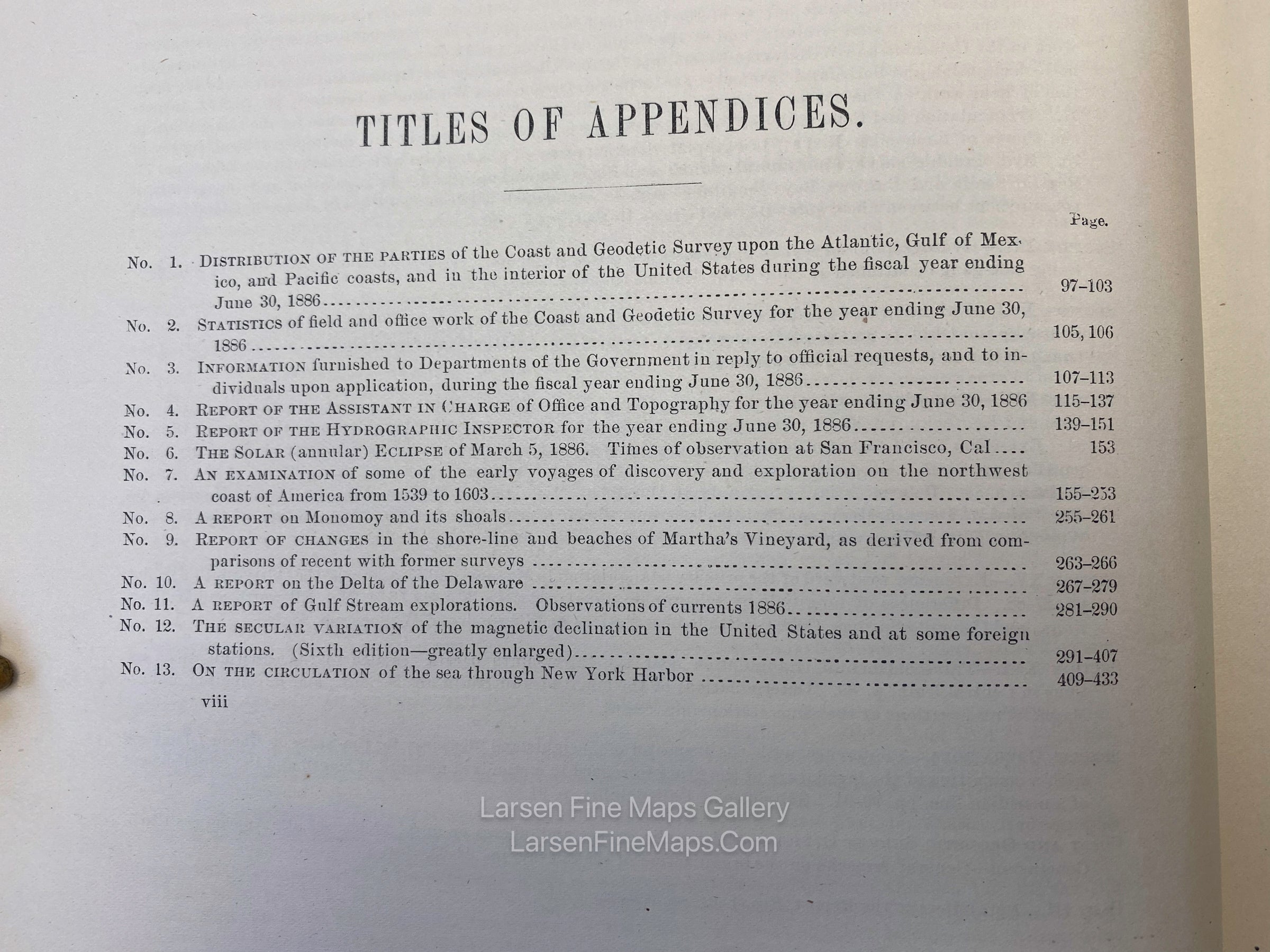
Also included in the report are the following topics:

- Solar Eclipse March 5th, 1886
- Monomoy Shoals
- Martha's Vineyard Shoreline Changes
- Delta of The Delaware
- Gulf Stream Explorations
- New York Harbor Currents

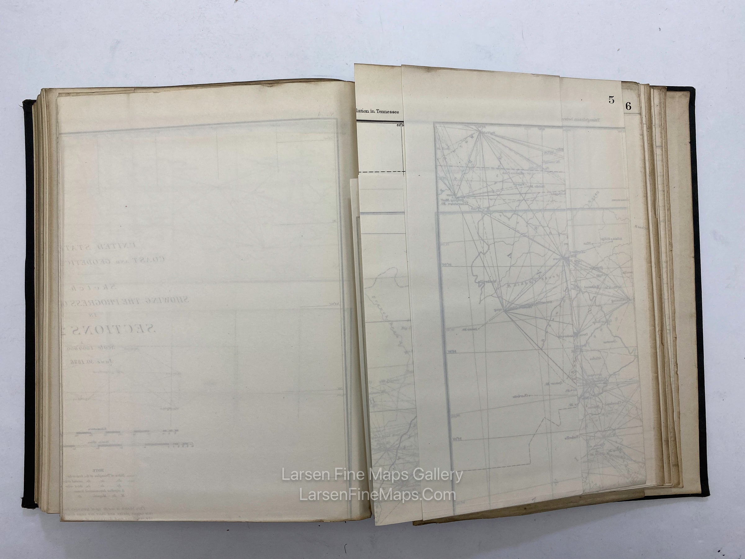
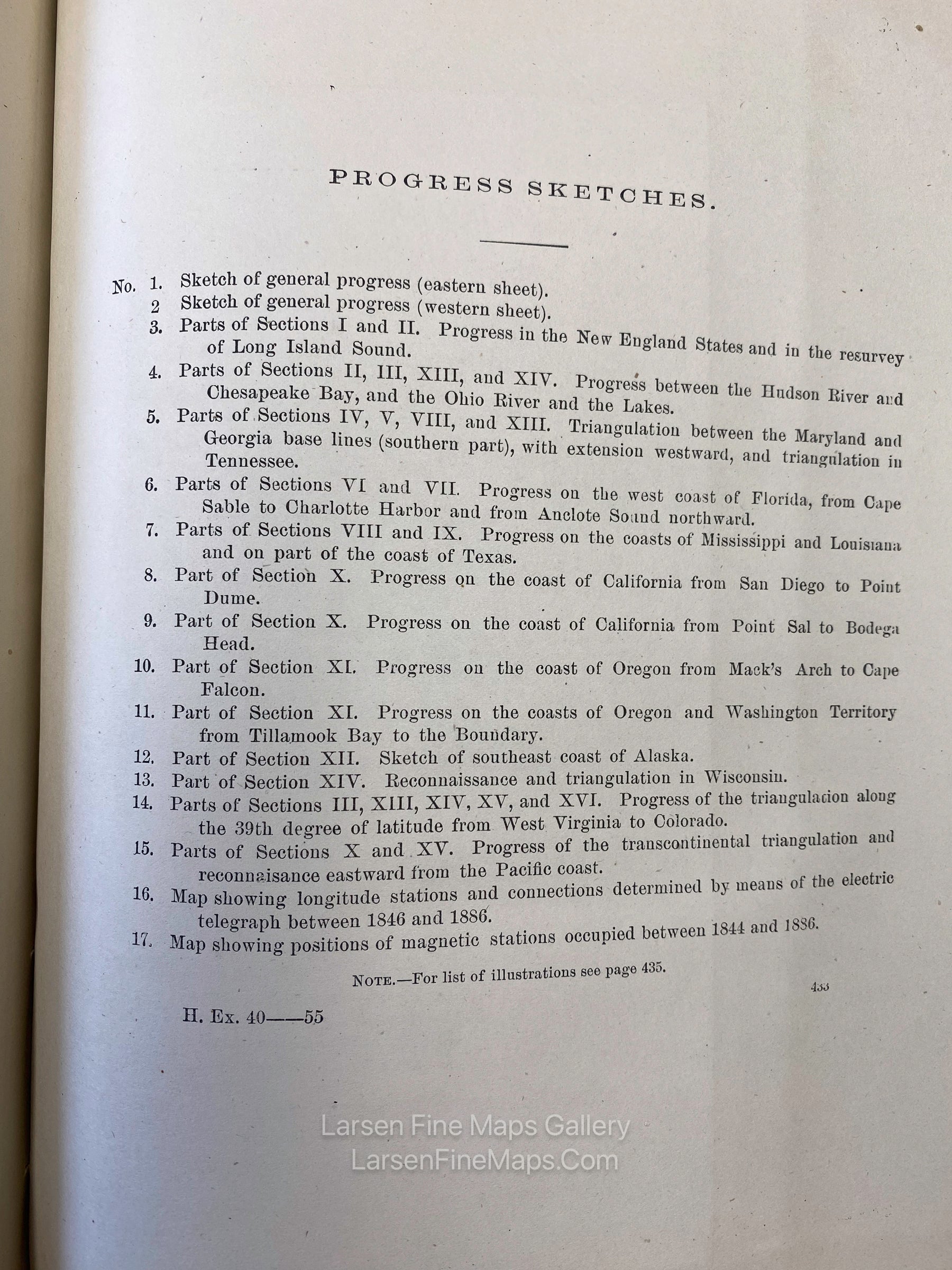
Progress Sketches as shown in photo of index of Progress Sketches.

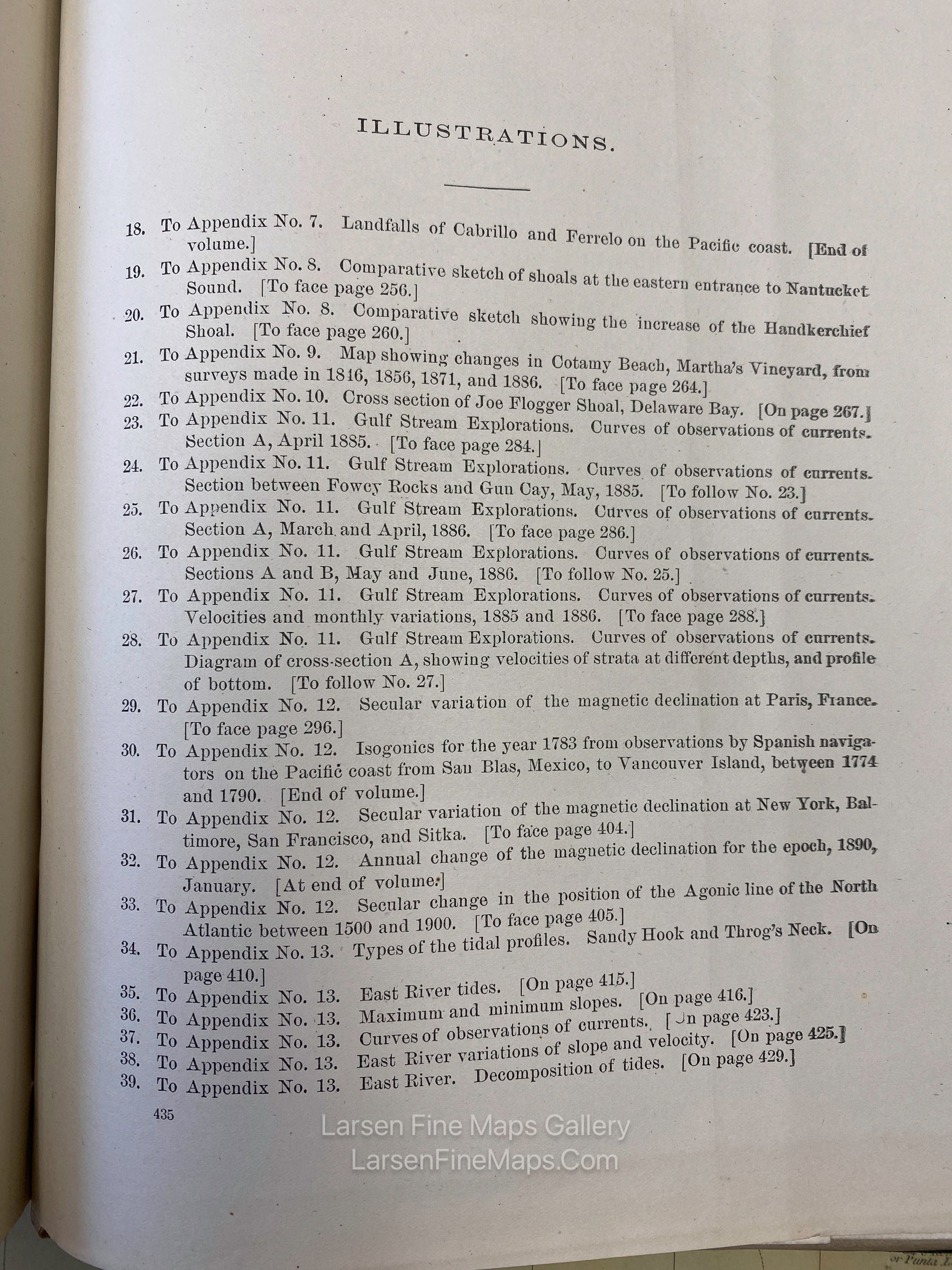
All maps and figures are present.  See photo of index of Illustrations.
Some names shown in the index:

New England States
Long Island Sound
Hudson River, Chesapeake Bay, Ohio River
Maryland Georgia Baseline to Tennessee
Florida Cape Sable, Charlotte Harbor, Anicote Sound
Mississippi, Louisiana, Texas
California San Diego to Point Dume
California Point Sal to Bodega Head
Oregon Mack's Arch to Cape Falcon
Oregon and Washingto Territory Tillamook Bay to The Boundary
Alaska
Wisconsin
West Virginia to Colorado

FULL TITLE

Report of The Superintendent of the U.S. Coast and Geodetic Survey showing The Progress of The Work during the Fiscal Year Ending With June, 1886

MAPMAKER/CARTOGRAPHER/AUTHOR

PUBLISHER

Government Printing Office, Washington

PUBLICATION

Report of The Superintendent of the U.S. Coast and Geodetic Survey showing The Progress of The Work during the Fiscal Year Ending With June, 1886

DIMENSIONS (Inches)

9.5 X 11.5

CONDITION

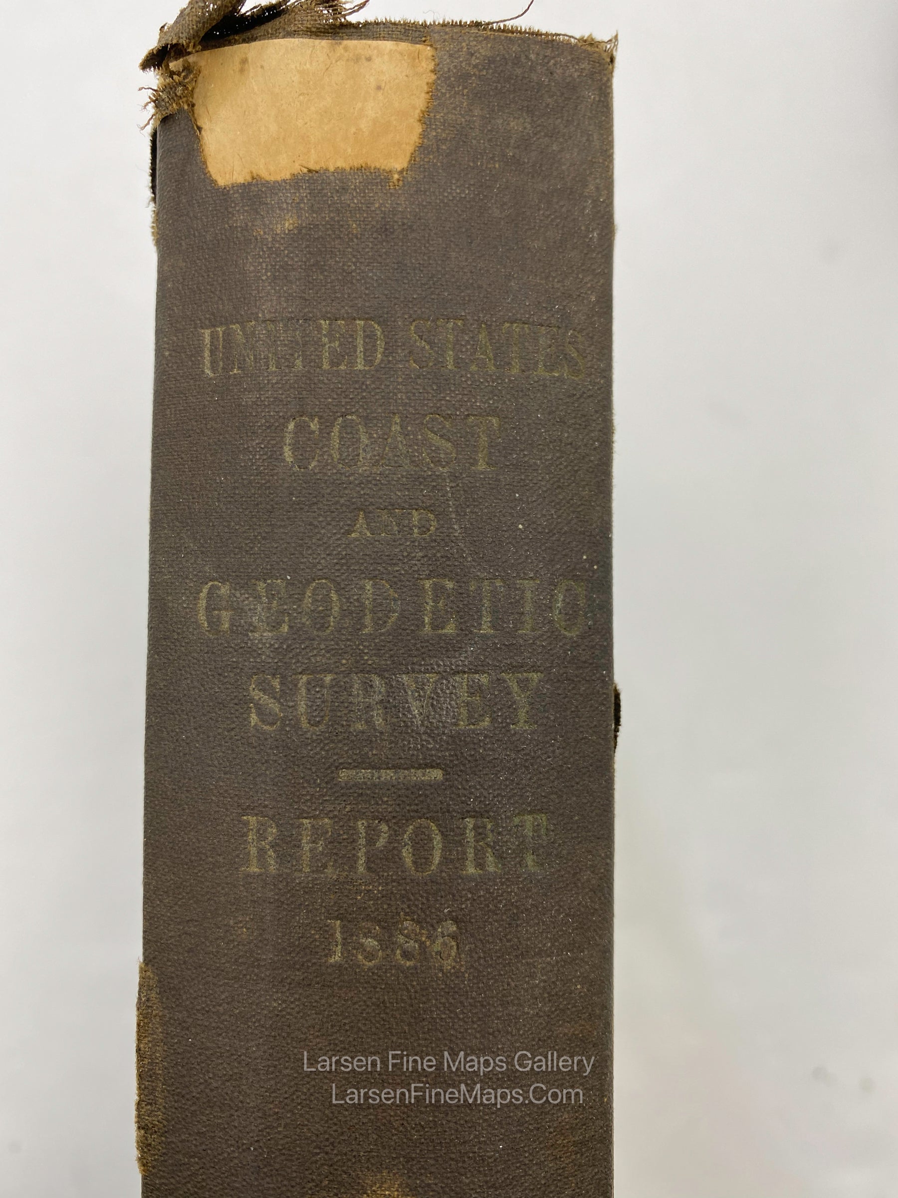
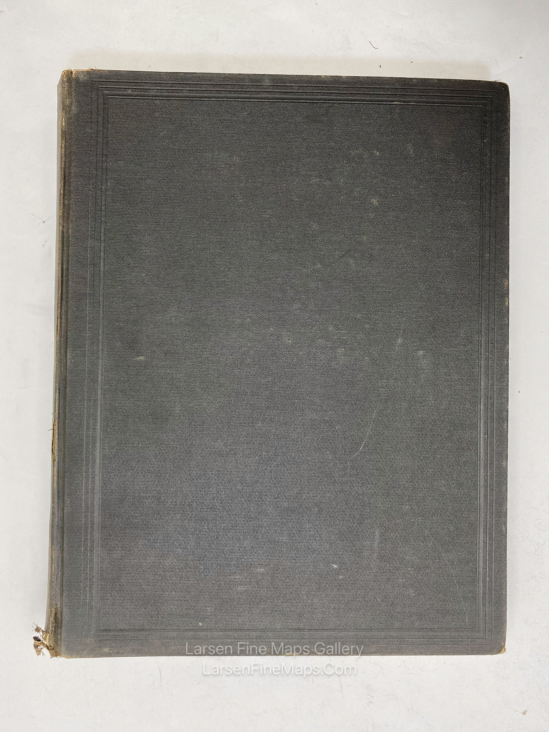
Binding is poor as can bee seen in photos, worn, bumped, tears. Internal pages and charts are in very good or better condition. Some library stamps from Mod Services inside cover.