
YEAR PUBLISHED: 1873
Plan de Paris À l'Echelle de 2 Millim
DESCRIPTION
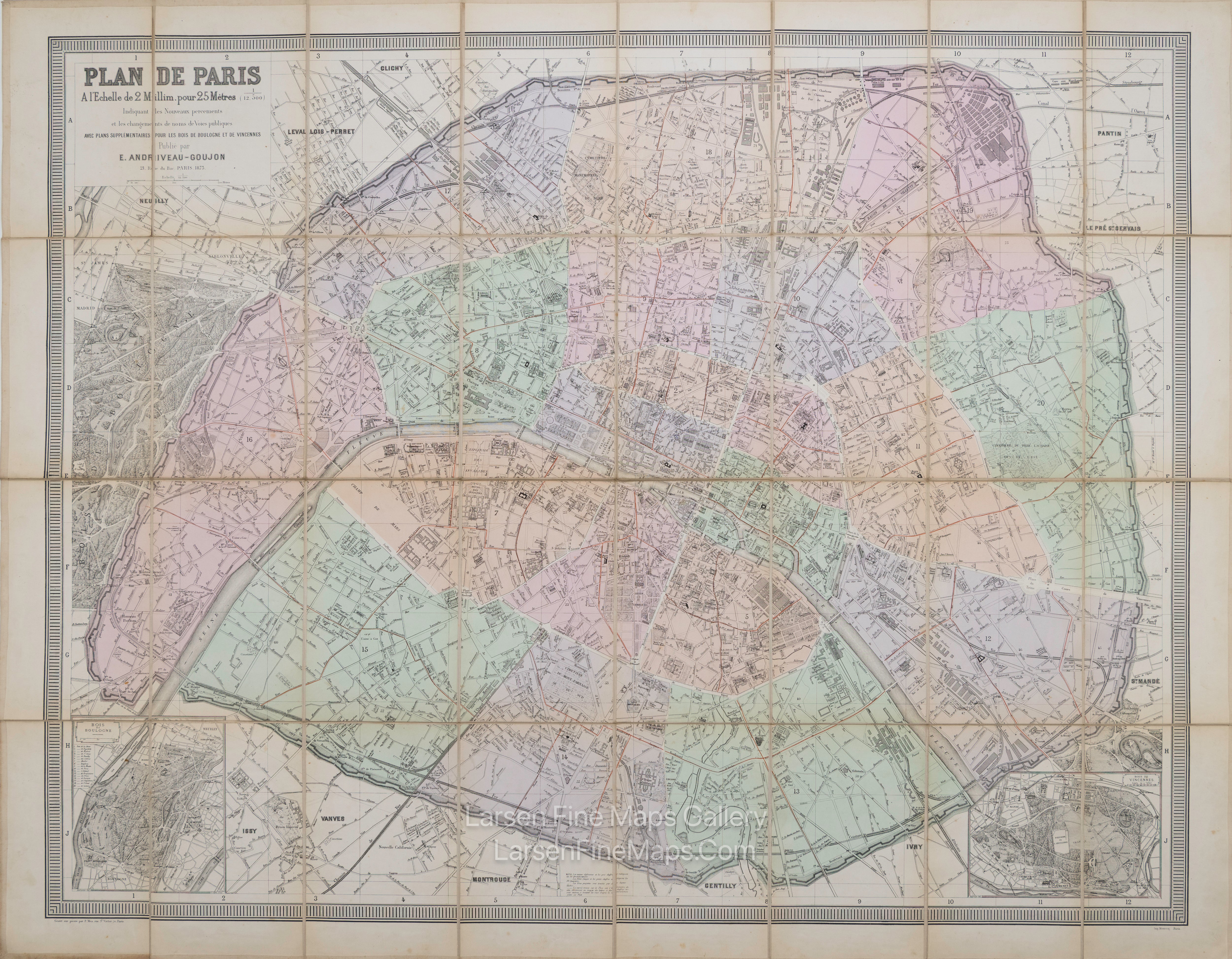
This striking, highly detailed, and fascinating 1873 original full-colored lithographic example of Andriveau-Goujon's wall map features an aerial plan of Paris, France. The plan shows the city with its buildings, churches, streets, bridges, gardens, town walls, and surrounding landscape. Two inset plans depict the Bois de Boulogne and the Bois de Vincennes.
Cartographers: Eugène Andriveau-Goujon (1832 - 1897) was a map publisher and cartographer active in 19th century Paris. Maps by Andriveau-Goujon are often confusing to identify as they can be alternately singed J. Goujon, J. Andriveau, J.Andriveau-Goujon, E. Andriveau-Goujon, or simply Andriveau-Goujon. This refers to the multiple generations of the Andriveau-Goujon dynasty and the tendency to republish older material without updating the imprint. The earliest maps to have the Andriveau-Goujon imprint were released by Jean Andriveau-Goujon. He passed the business to his son Gilbert-Gabriel Andriveau-Goujon, who in 1858 passed it to his son Eugène Andriveau-Goujon, under whose management the firm was most prolific. Andriveau-Goujon published numerous fine pocket maps and atlases throughout the 19th century and often worked with prominent French cartographers like Brue and Levasseur. The firm's stock was acquired by M. Barrère in 1892.
Plan de Paris À l'Echelle de 2 Millim. poyr 25 Mètres (1/12.500) Indiquant les Nouveaux percements et les changements des noms de Vois publiques avec Plans supplémentaires por les Bois de Boulogne et de Vincennes. Publiée par E. Andriveau-Goujon, Éditeur, 21 Rue du Bac 1873.
FULL TITLE
MAPMAKER/CARTOGRAPHER/AUTHOR
PUBLISHER
PUBLICATION
DIMENSIONS (Inches)
CONDITION
Choose options
DESCRIPTION
FULL TITLE
MAPMAKER/CARTOGRAPHER/AUTHOR
PUBLISHER
PUBLICATION
DIMENSIONS (Inches)
CONDITION
DESCRIPTION
FULL TITLE
MAPMAKER/CARTOGRAPHER/AUTHOR
PUBLISHER
PUBLICATION
DIMENSIONS (Inches)
CONDITION