YEAR PUBLISHED: 1845
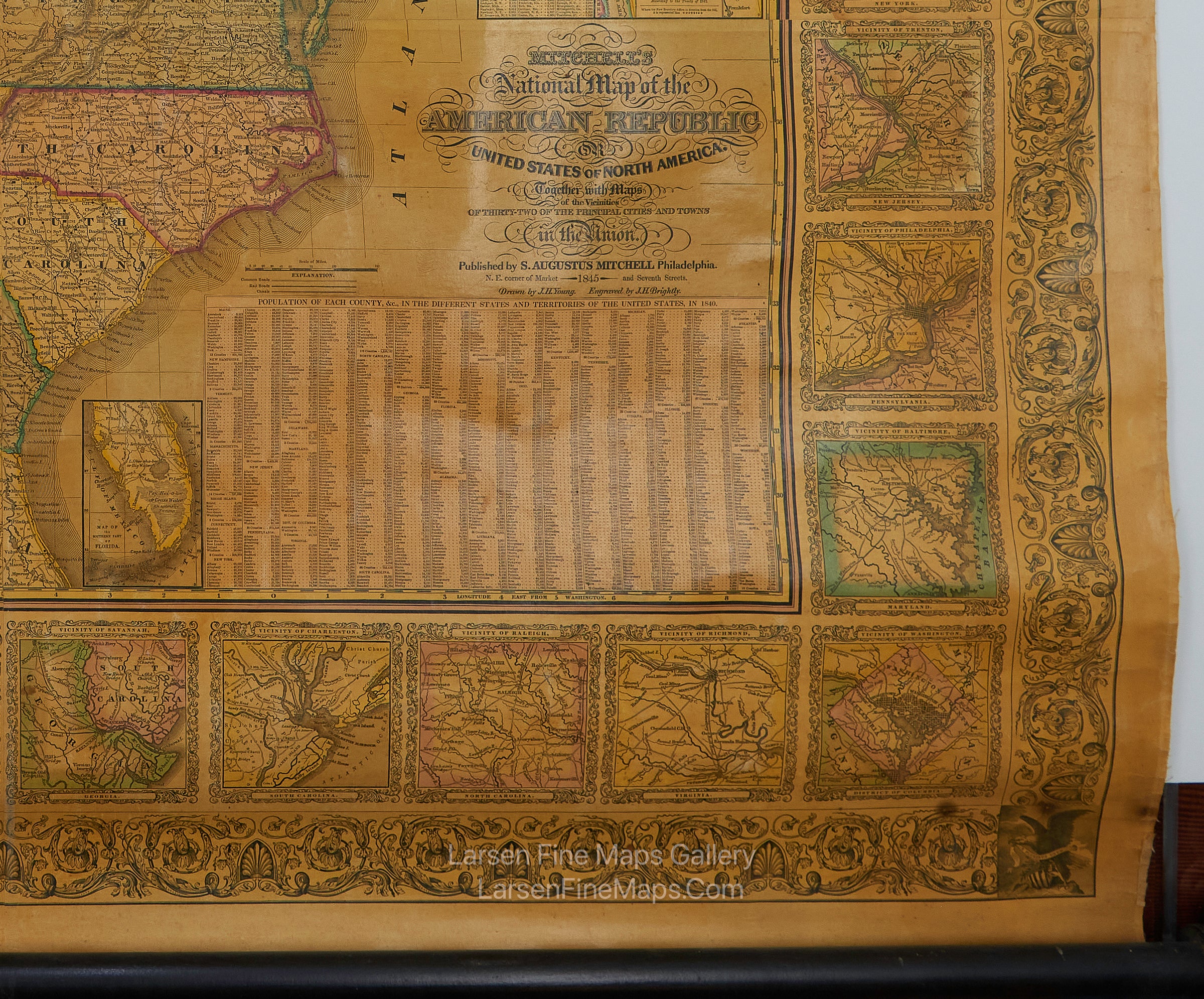
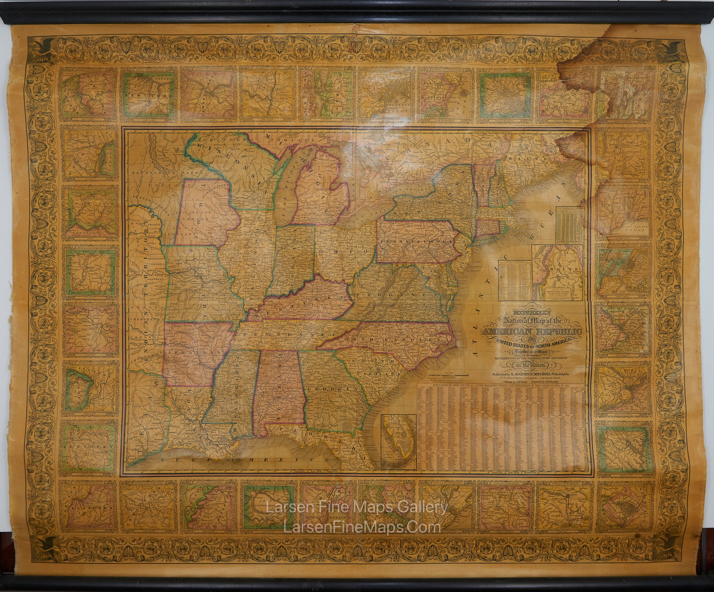
Mitchell's National Map of the American Republic or United States of North America
DESCRIPTION
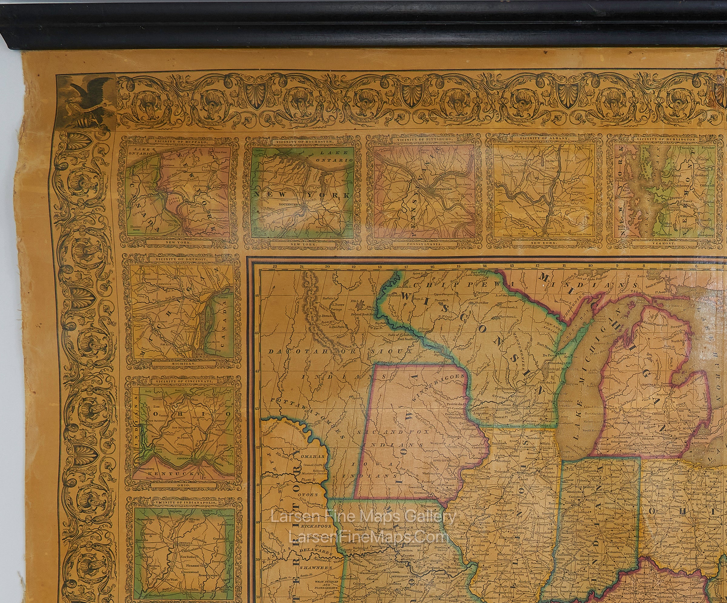
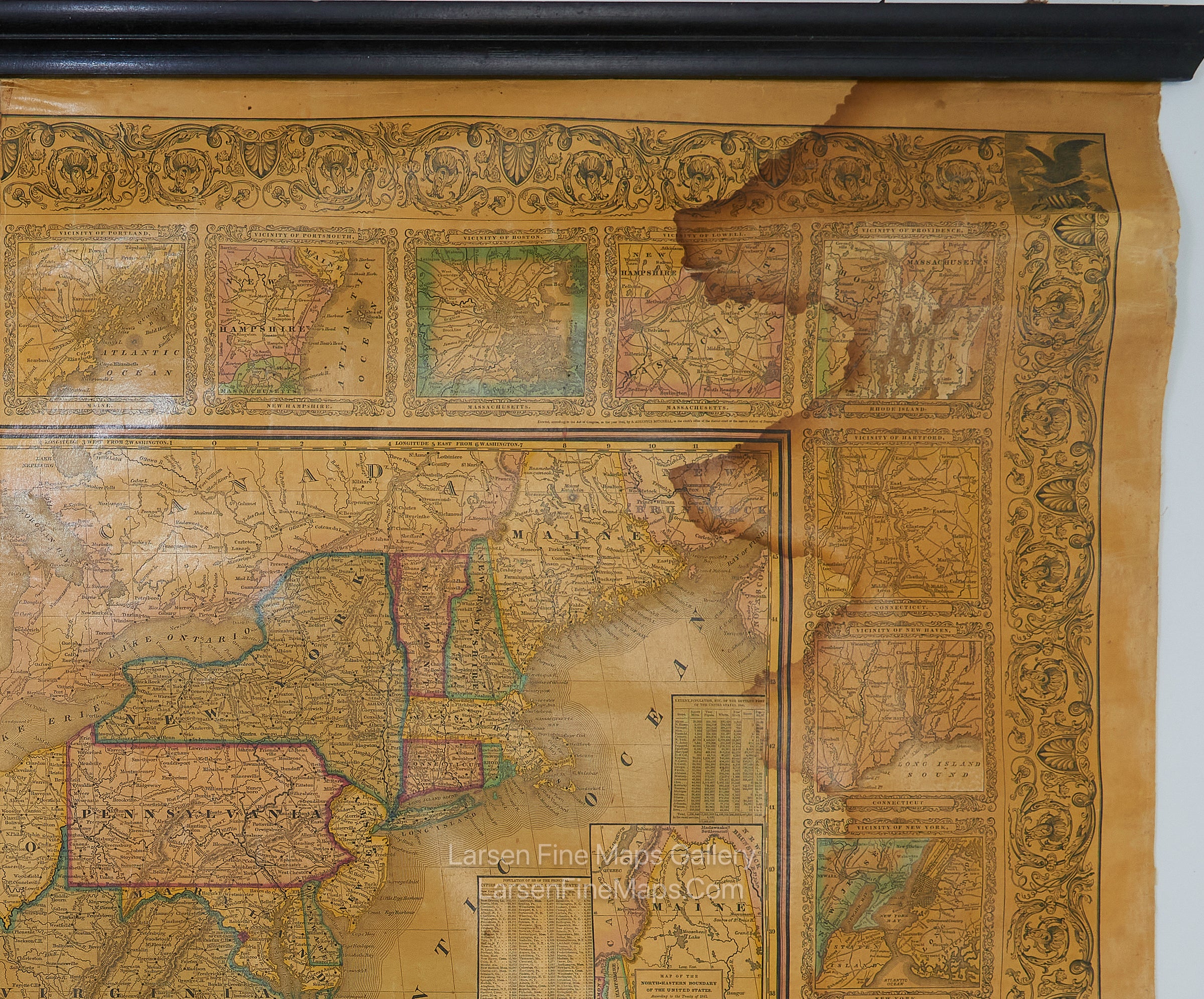
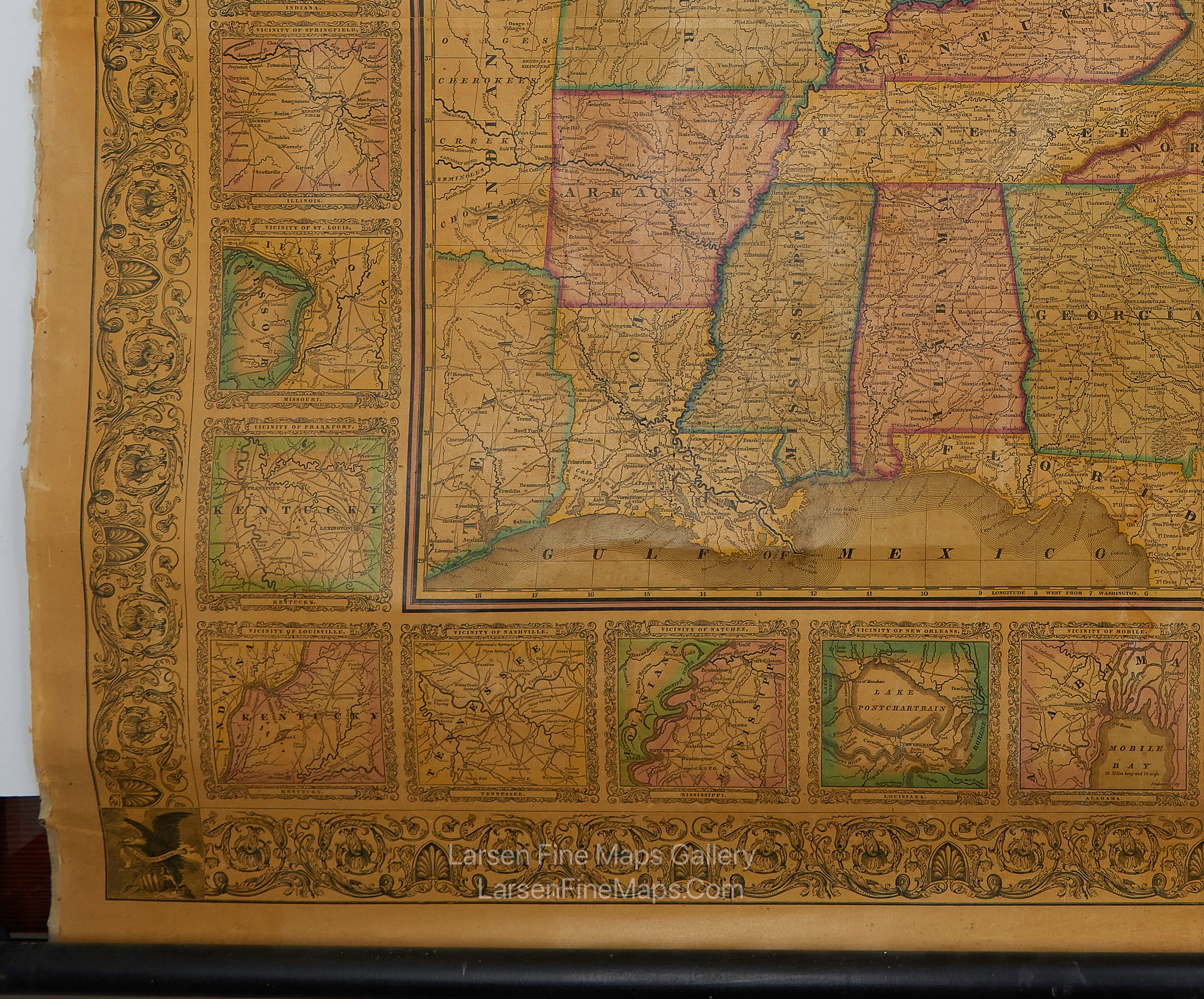
This is an excellent example and copy of Samuel Augustus Mitchell's National Map of the American Republic, dated 1845. Includes small inset maps around the entire border showing various principal cities and towns in the Union. It also includes an inset of the Maine and Canada boundary, extending off the top of the main map body. The map has several tables of populations of states and territories as of the 1840 census. It shows a portion of the Republic of Texas, Indian Territory, some Indian tribes, travel routes, placenames, waterways, ports, etc. Original color and varnish as issued. Despite the water stain at the upper right, this is in exceptional condition for this type of wall map, often in deplorable fractured and worn condition. This is a rare, un-restored example as is more desirable.
FULL TITLE
MAPMAKER/CARTOGRAPHER/AUTHOR
PUBLISHER
PUBLICATION
DIMENSIONS (Inches)
CONDITION
Choose options

DESCRIPTION
FULL TITLE
MAPMAKER/CARTOGRAPHER/AUTHOR
PUBLISHER
PUBLICATION
DIMENSIONS (Inches)
CONDITION
DESCRIPTION
FULL TITLE
MAPMAKER/CARTOGRAPHER/AUTHOR
PUBLISHER
PUBLICATION
DIMENSIONS (Inches)
CONDITION