YEAR PUBLISHED: 1875
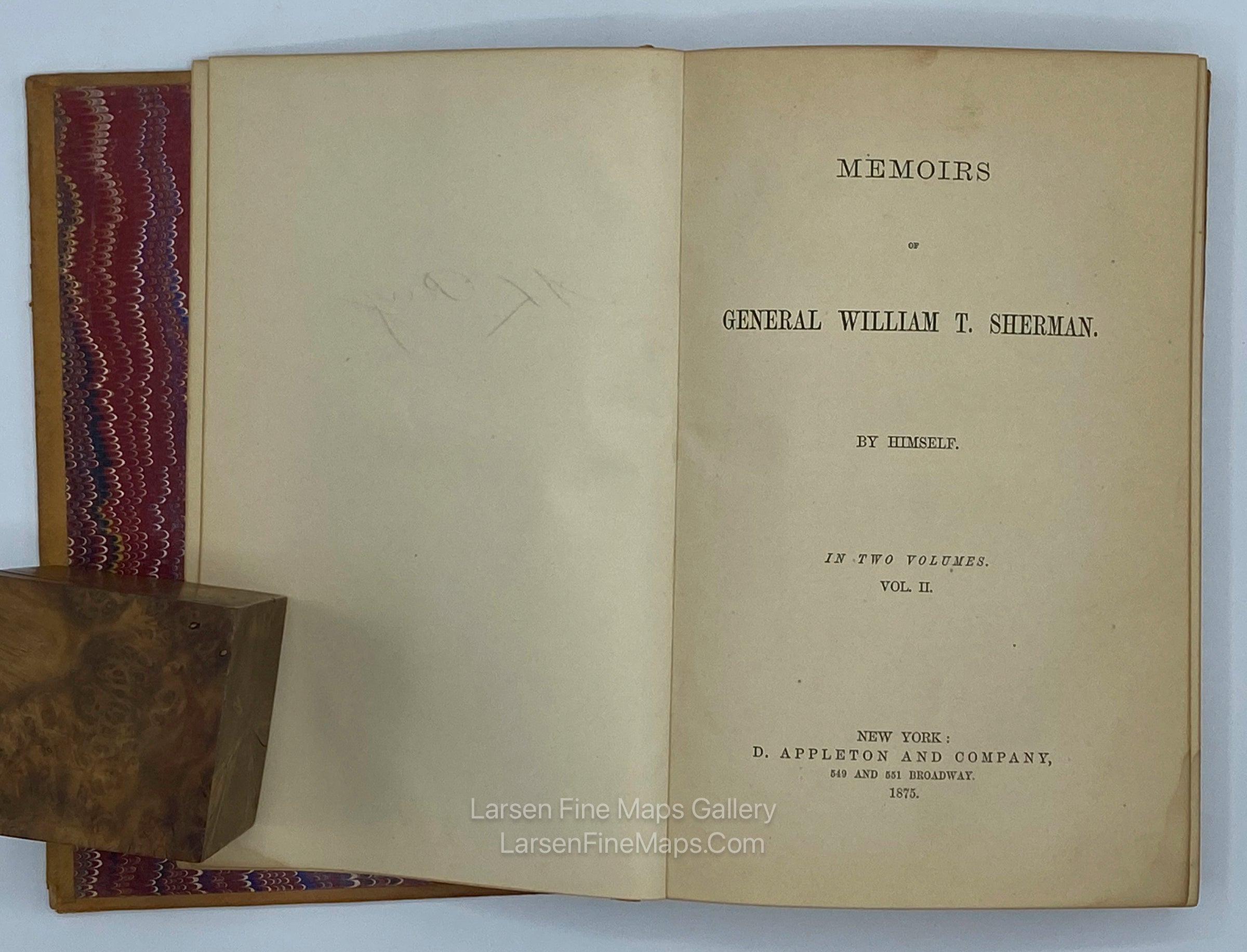
Memoirs of General William T. Sherman, by Himself, in Two Volumes. With Map
DESCRIPTION
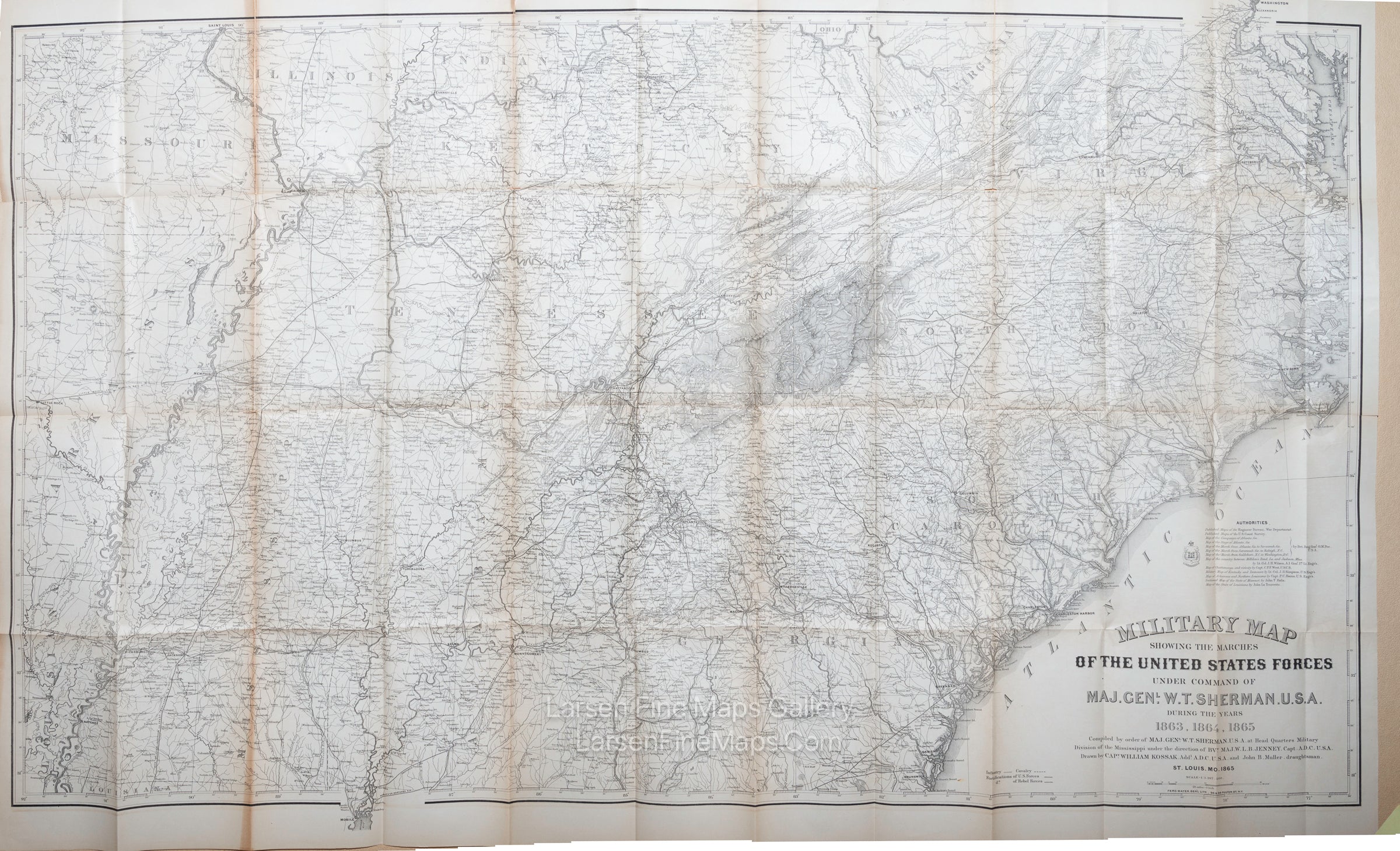
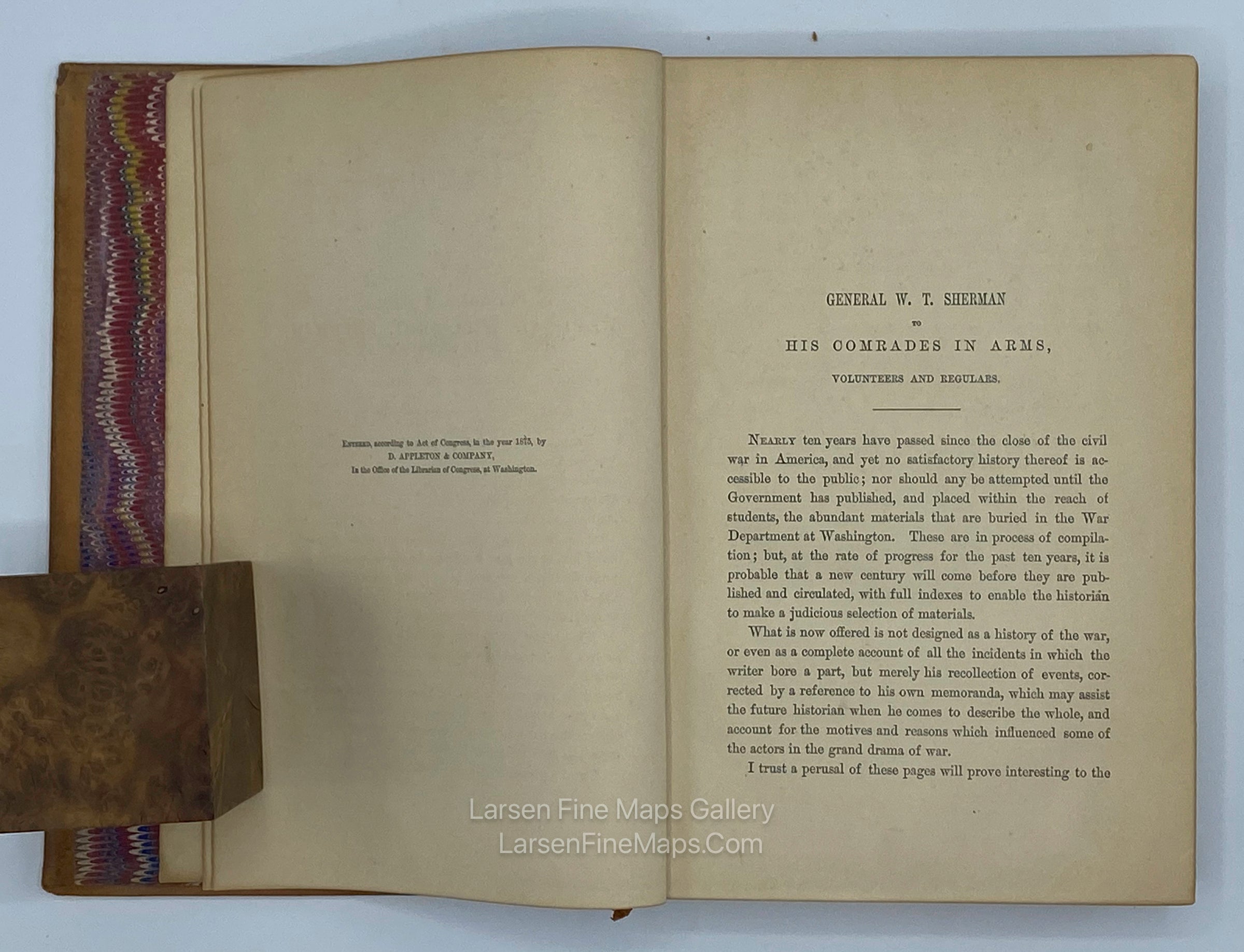
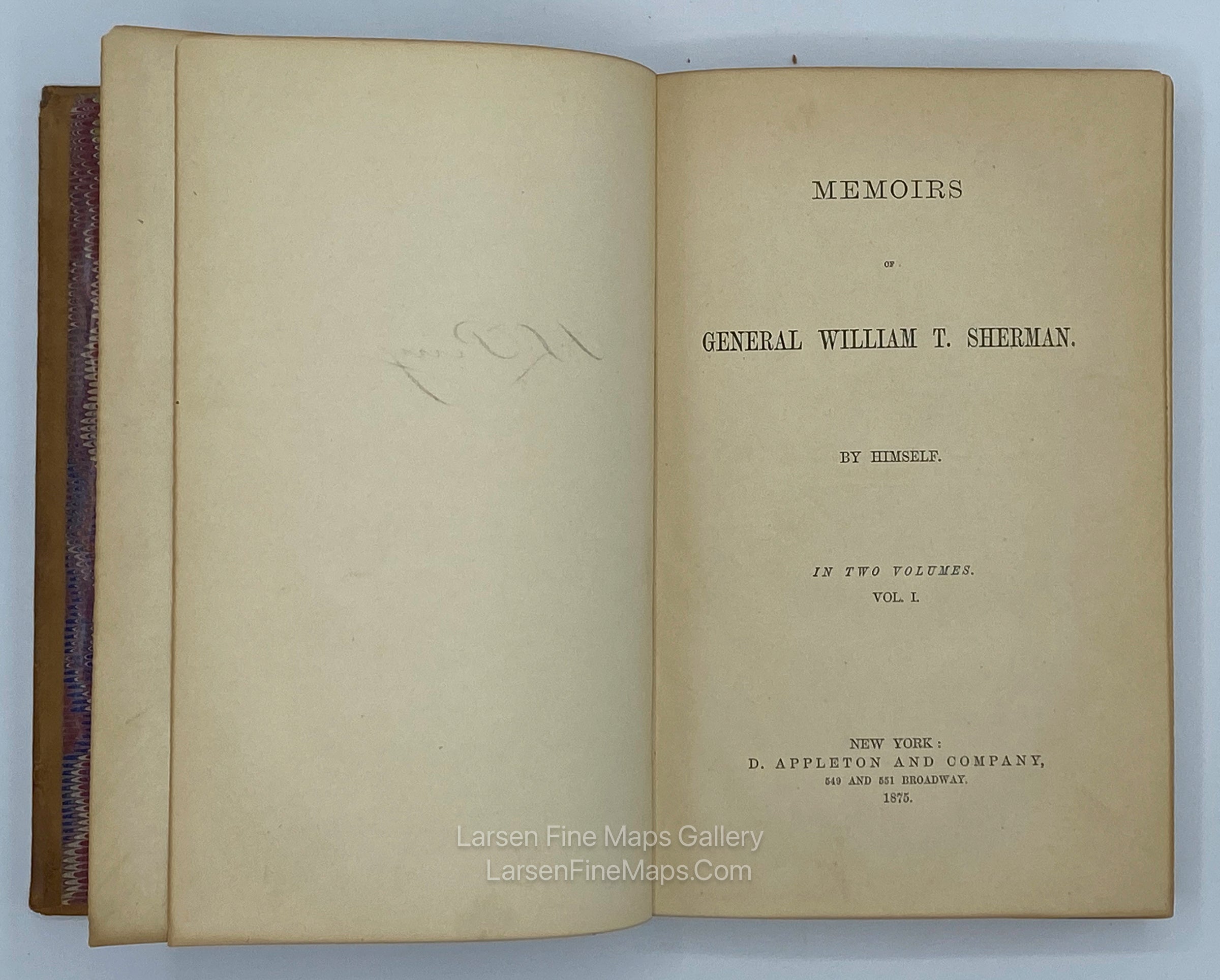
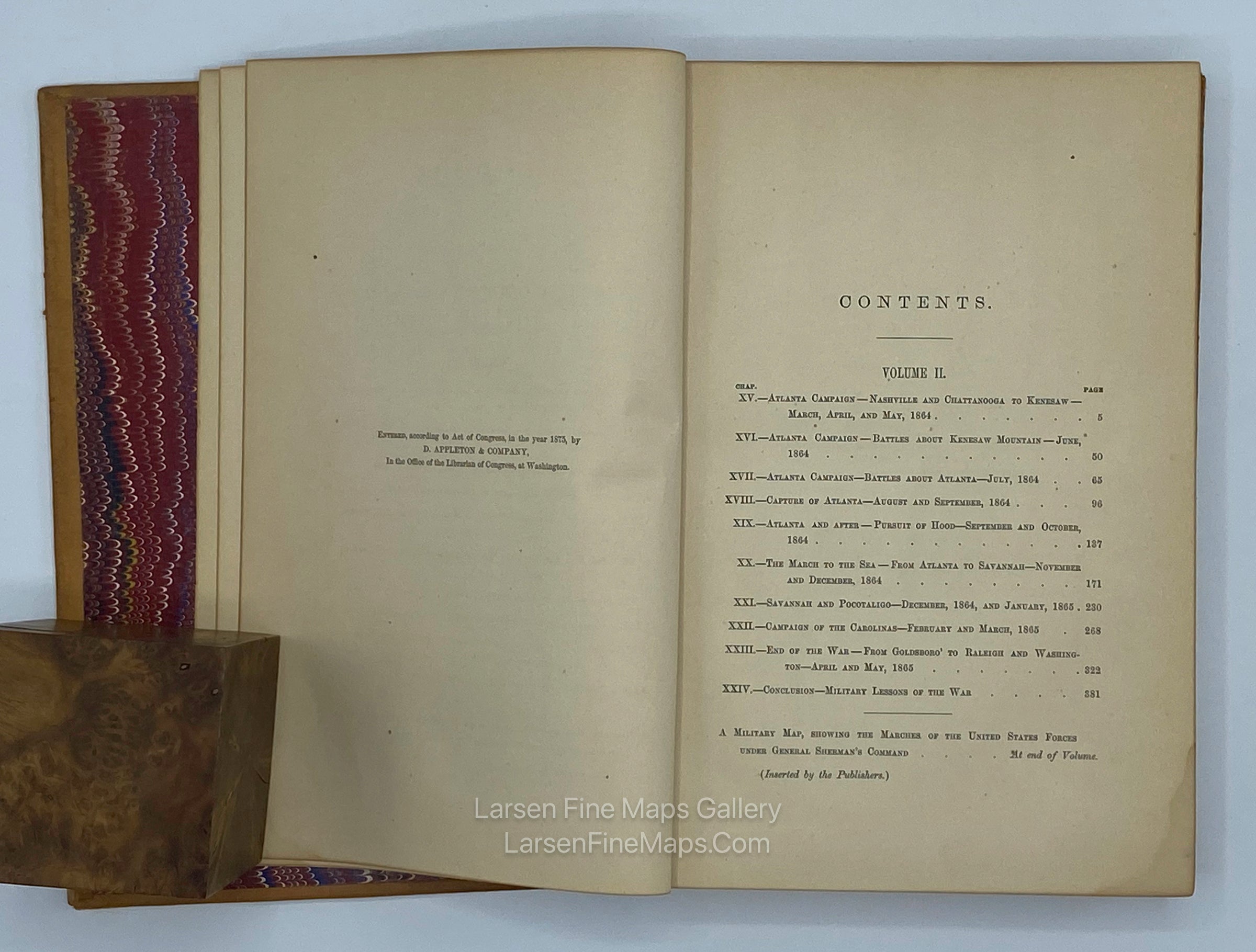
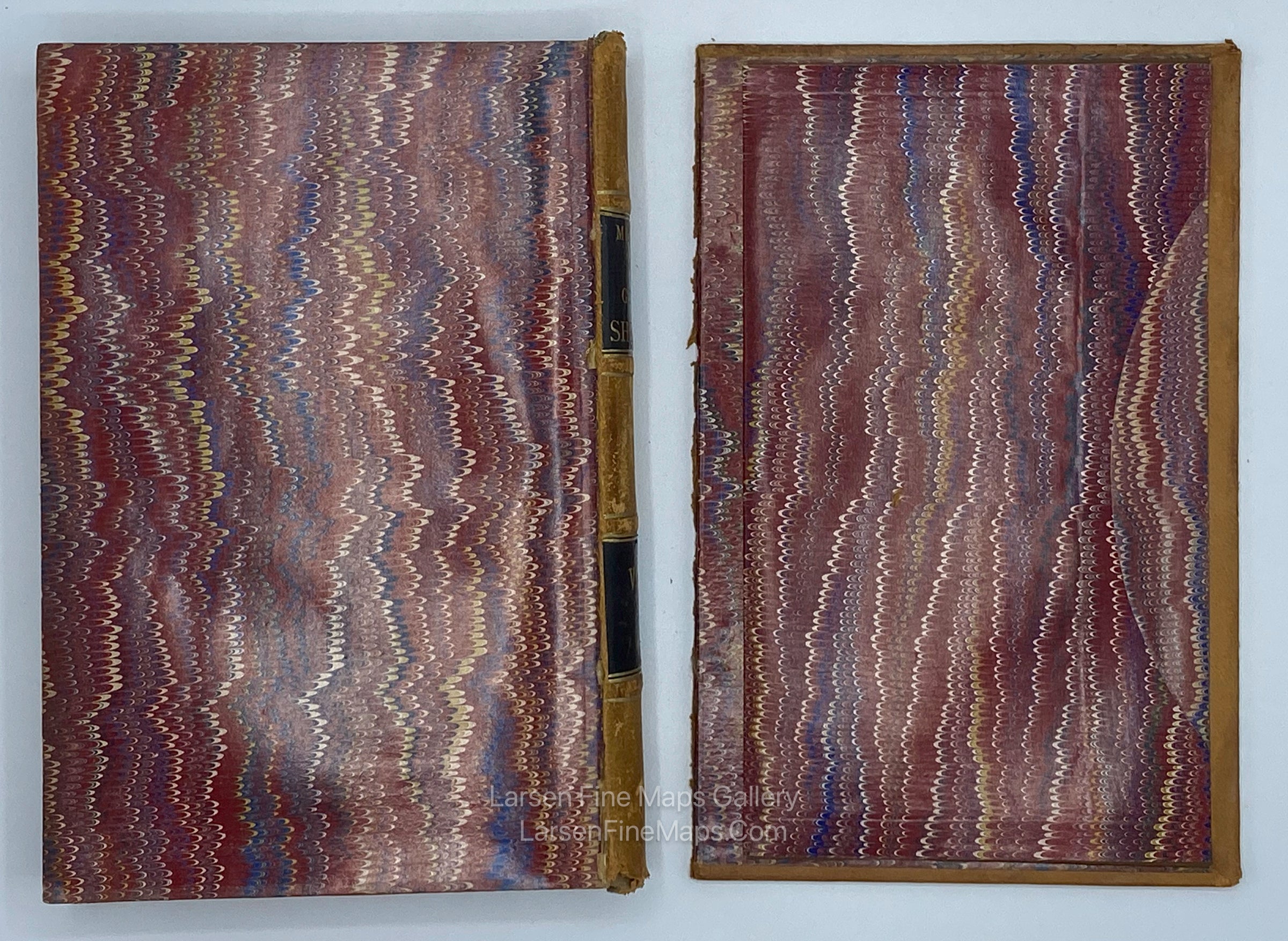
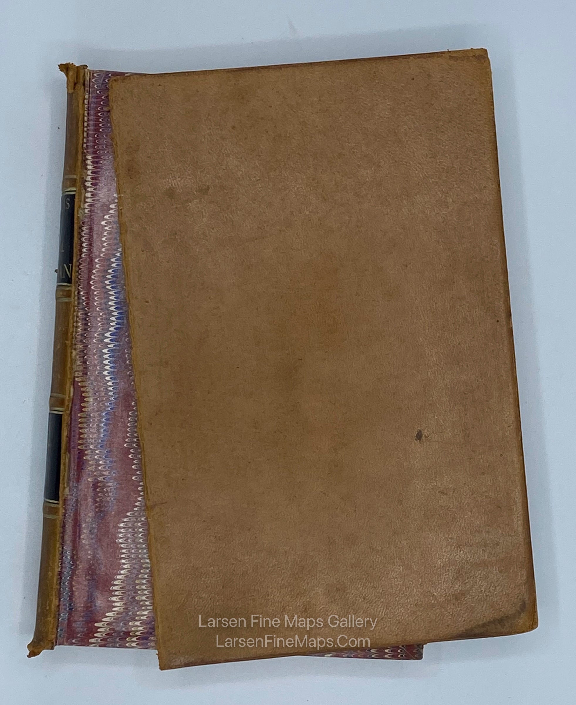
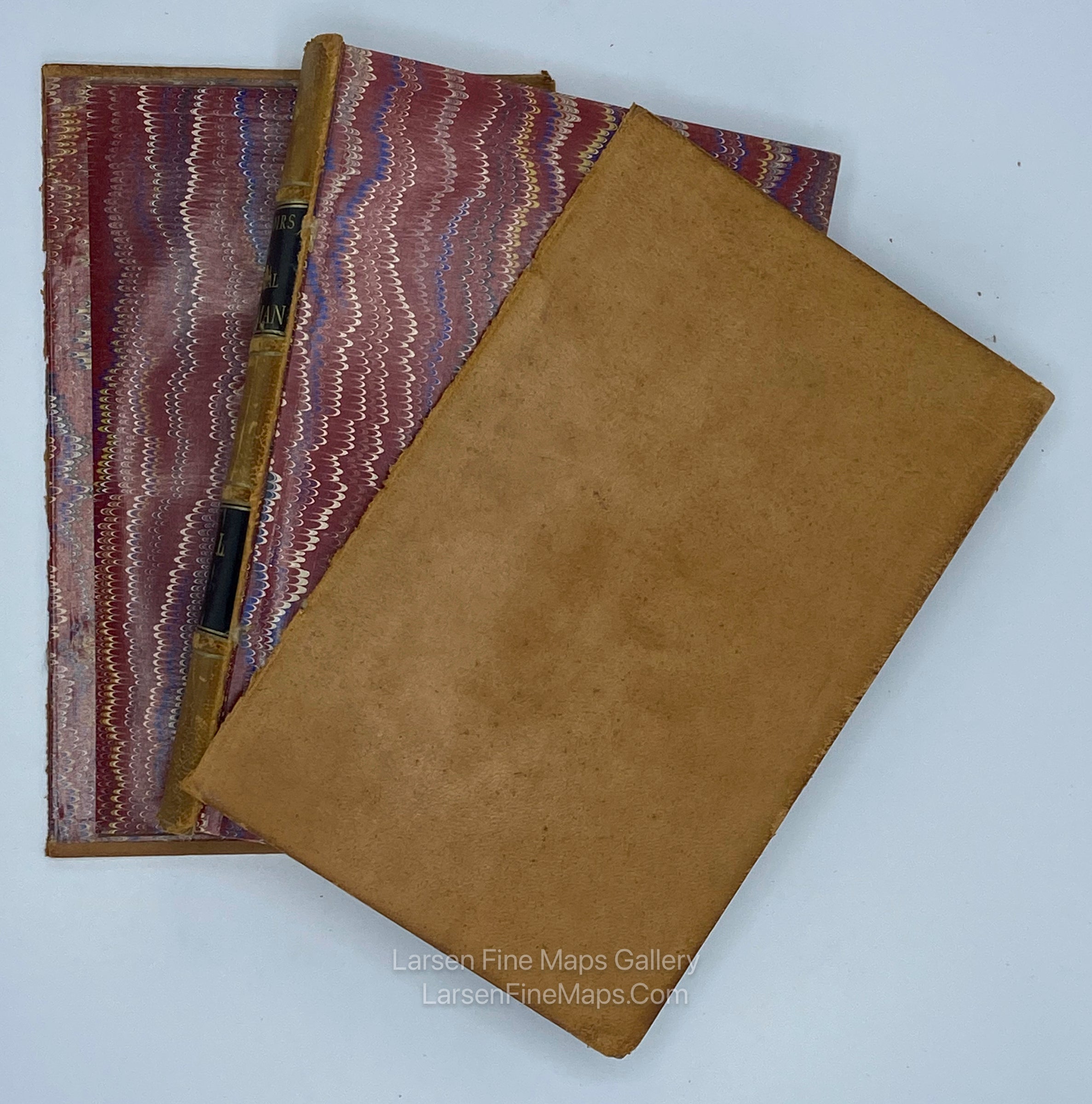
A complete two-volume set of the Memoirs of General William T. Sherman, written by Sherman himself, and published 1875 by D. Appleton & Company of New York. The work is a memoir of his military career rather than an autobiography of Sherman’s whole life, beginning with his service in the Mexican-American War and ending with the end of the Civil War. Volume II includes a pocket to the back board containing a large folding map showing the movements of Sherman’s forces across the South from 1863-1865, including his famous “March to the Sea”. Both volumes are bound in handsome leather hardcovers (separated), with marbled fore-edges and end papers.
Detailed map drawn by Captain William Kossak in St. Louis, Missouri. The map was compiled by order of General Sherman. It covers the region bounded by Mobile in the south, Washington D.C. and St. Louis in the north, east to Chesapeake Bay and west to Little Rock, Arkansas. Includes roads and trails, towns and villages, rivers, creeks, and railroads. The legend locates Infantry, Cavalry, U.S. fortifications and Rebel fortifications.
Compiled by order of Maj. Gen'l. W. T. Sherman U.S.A. at Head Quarters Military Division of the Mississippi under the direction of Bvt. Maj. W. L. B. Jenney, Capt. A.D.C. U.S.A. Drawn by Capt. William Kossak, Add'l A.D.C. U.S.A. and John B. Muller, draughtsman. St. Louis, MO. 1865". Ferd. Mayer Gen'l Lith.
FULL TITLE
MAPMAKER/CARTOGRAPHER/AUTHOR
PUBLISHER
PUBLICATION
DIMENSIONS (Inches)
CONDITION
Choose options
DESCRIPTION
FULL TITLE
MAPMAKER/CARTOGRAPHER/AUTHOR
PUBLISHER
PUBLICATION
DIMENSIONS (Inches)
CONDITION
DESCRIPTION
FULL TITLE
MAPMAKER/CARTOGRAPHER/AUTHOR
PUBLISHER
PUBLICATION
DIMENSIONS (Inches)
CONDITION