YEAR PUBLISHED: 1854
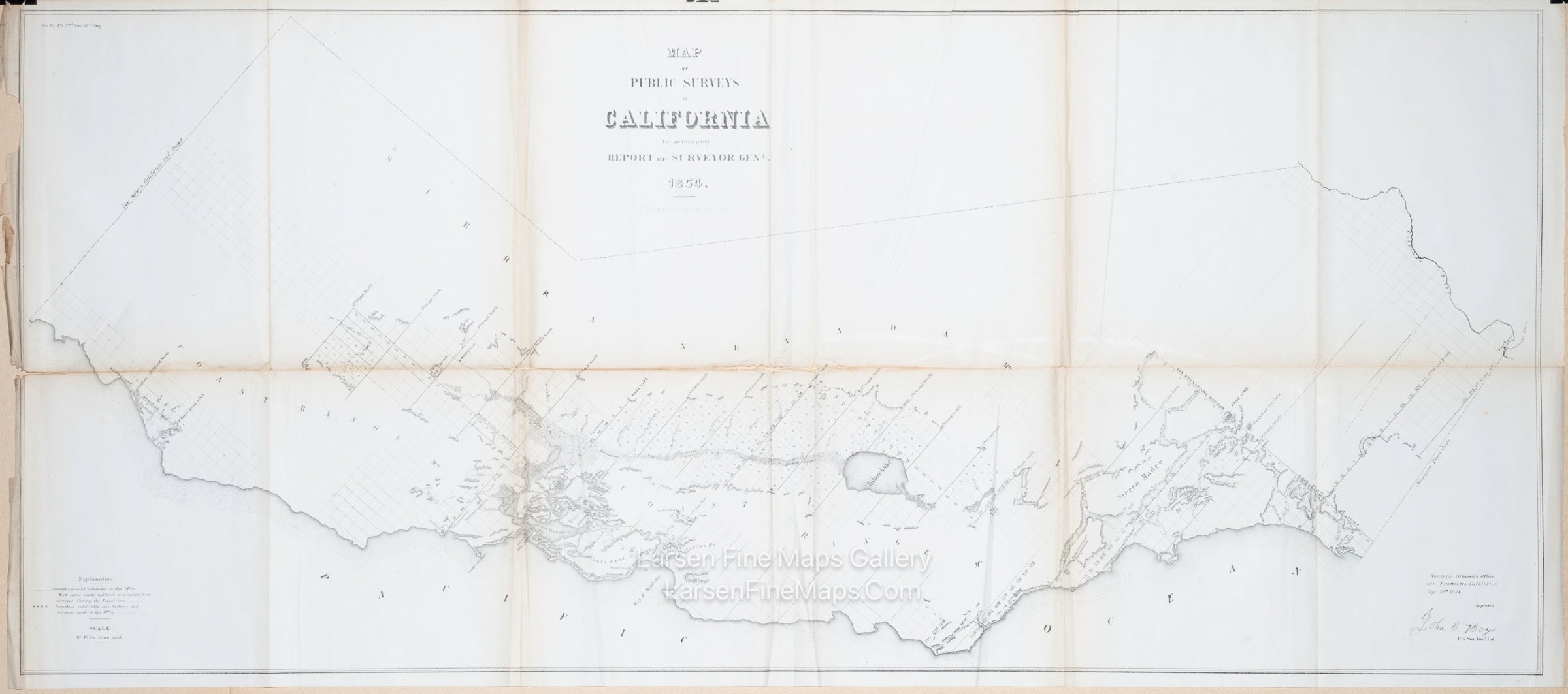
Map of Public Surveys in California to Accompany Report of Surveyor General, 1854
DESCRIPTION
This is an important map for California collectors as it is the first to depict the state's early mapping. It is based on the Public Land Survey System (PLSS) grid.
FULL TITLE
MAPMAKER/CARTOGRAPHER/AUTHOR
PUBLISHER
PUBLICATION
DIMENSIONS (Inches)
CONDITION
Choose options

DESCRIPTION
FULL TITLE
MAPMAKER/CARTOGRAPHER/AUTHOR
PUBLISHER
PUBLICATION
DIMENSIONS (Inches)
CONDITION
DESCRIPTION
FULL TITLE
MAPMAKER/CARTOGRAPHER/AUTHOR
PUBLISHER
PUBLICATION
DIMENSIONS (Inches)
CONDITION