YEAR PUBLISHED: 1863
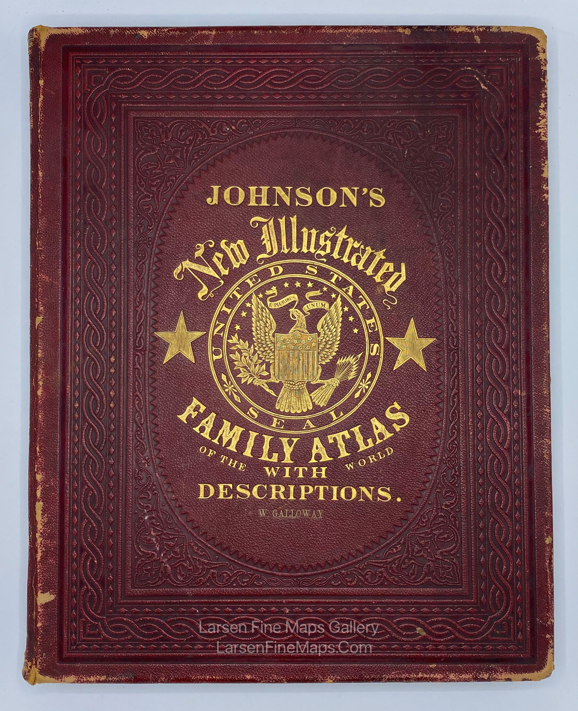
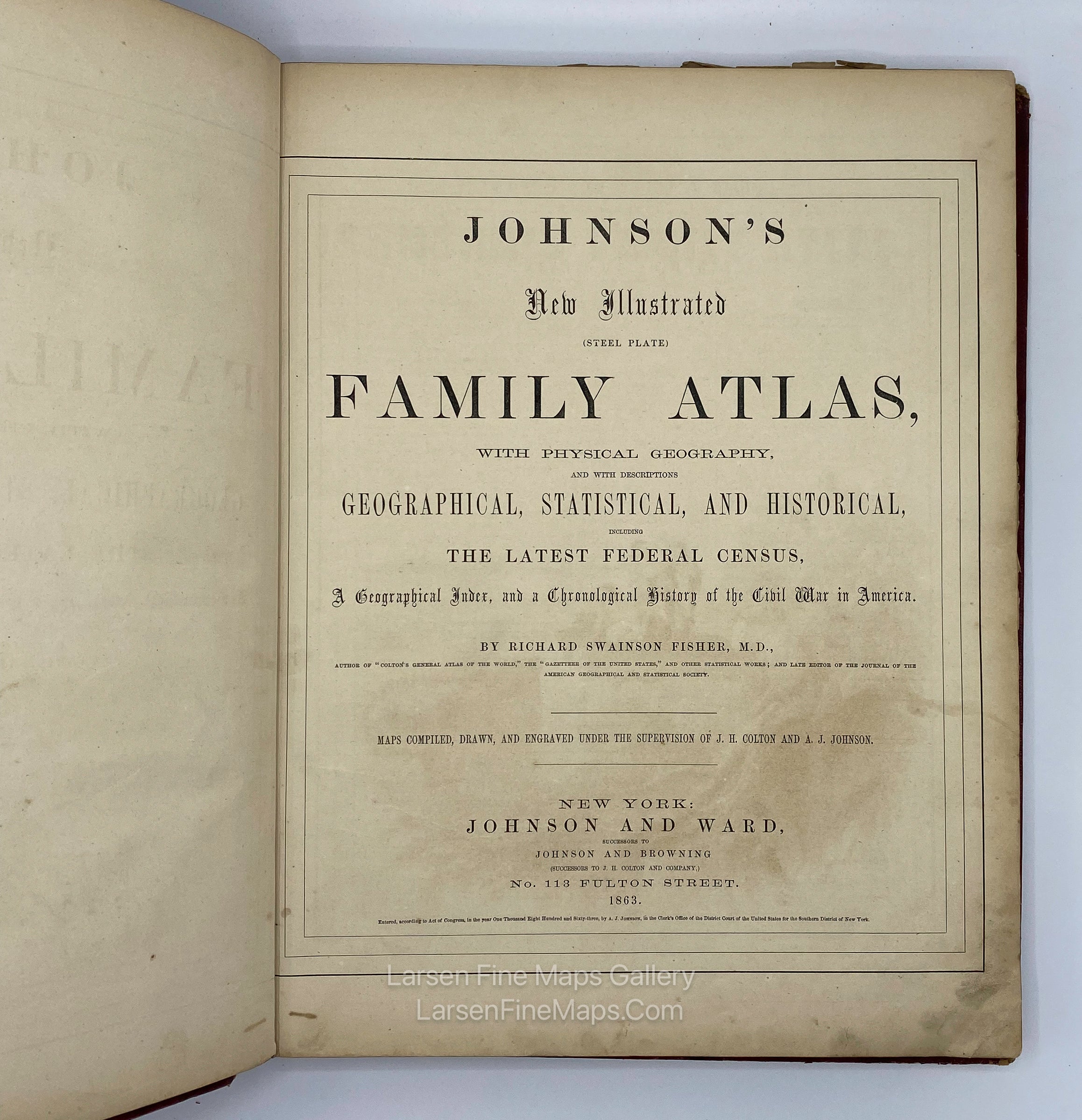
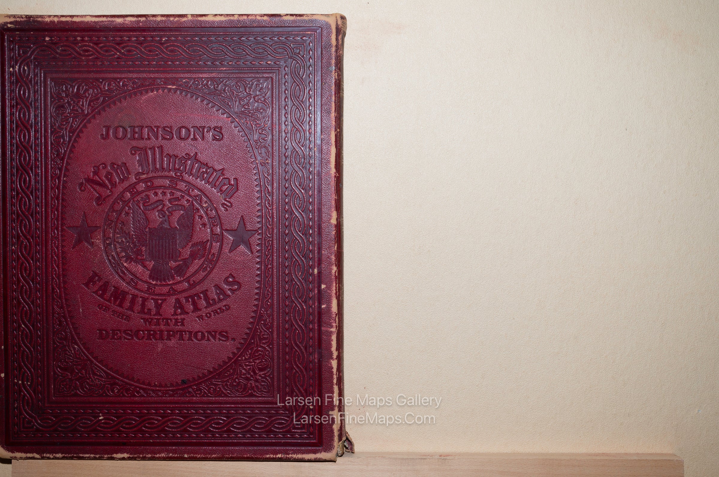
Johnson's New Illustrated Family Atlas of The World with Descriptions
DESCRIPTION
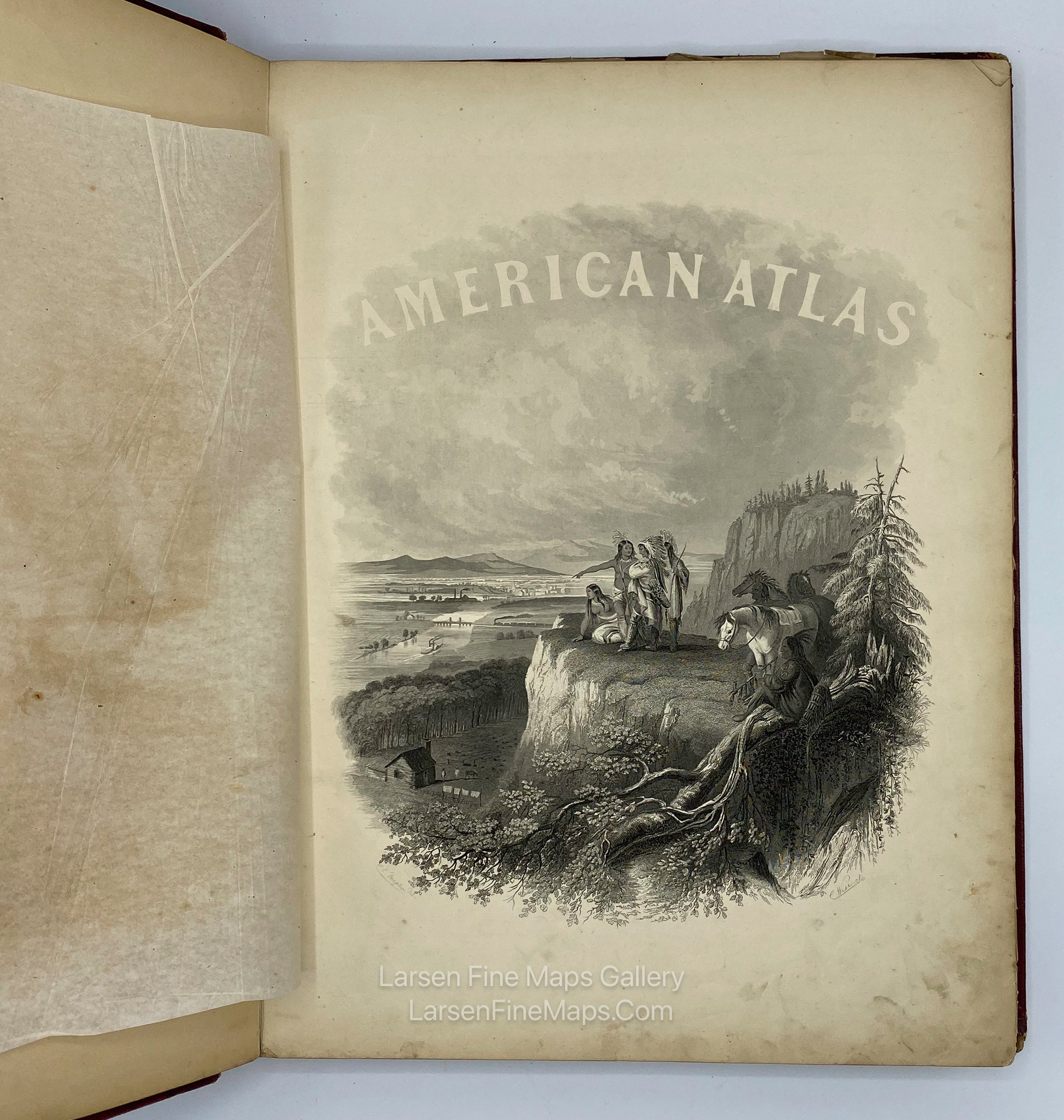
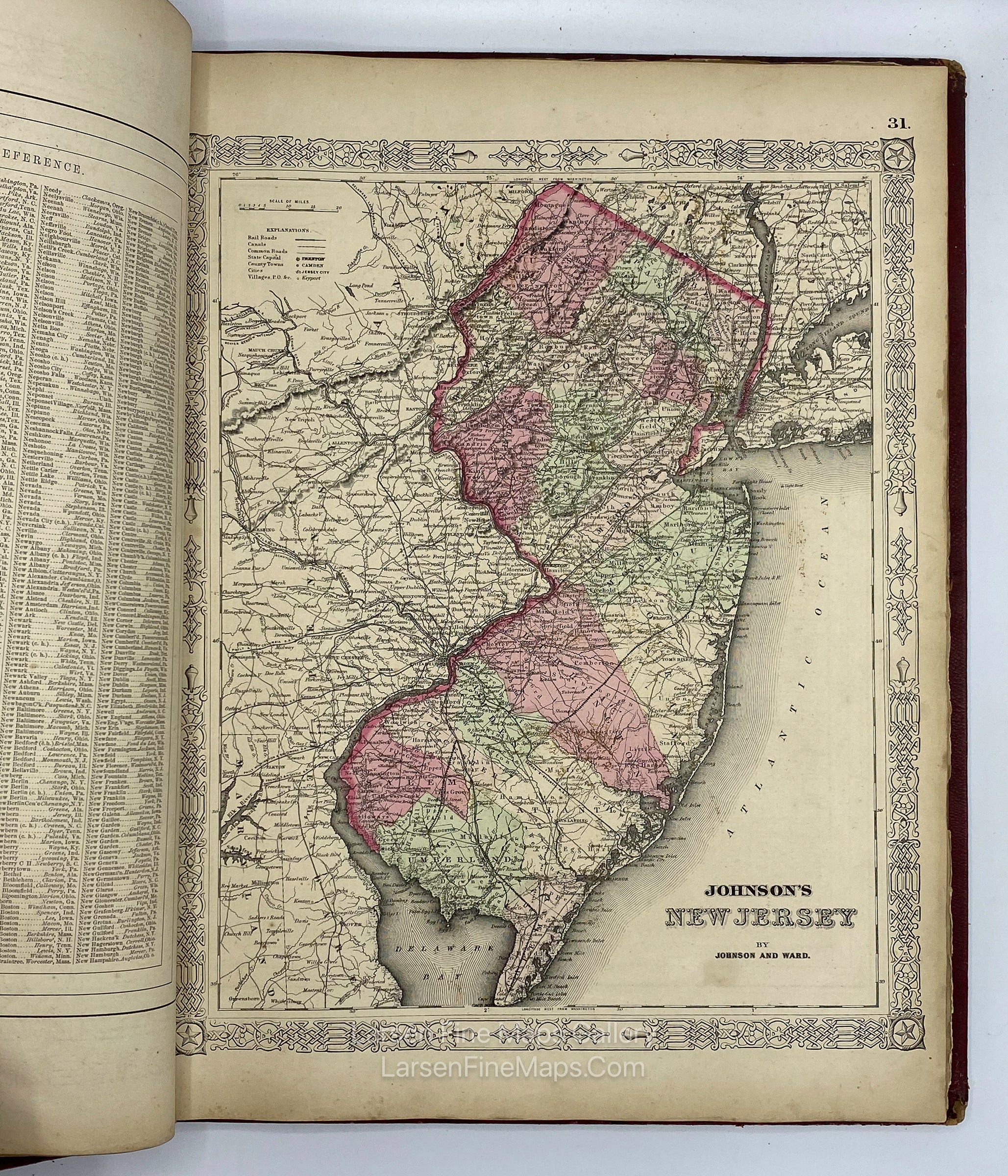
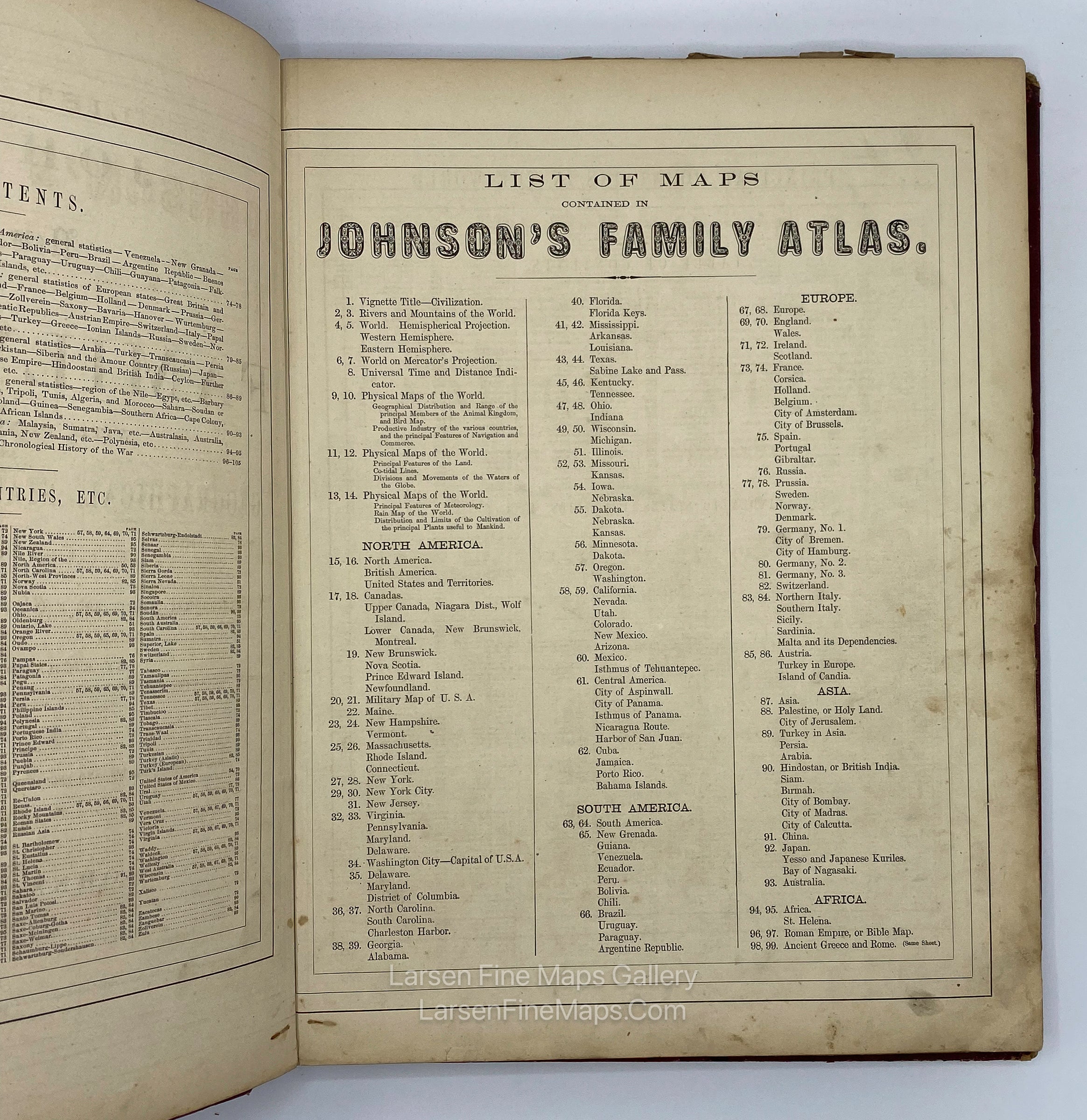
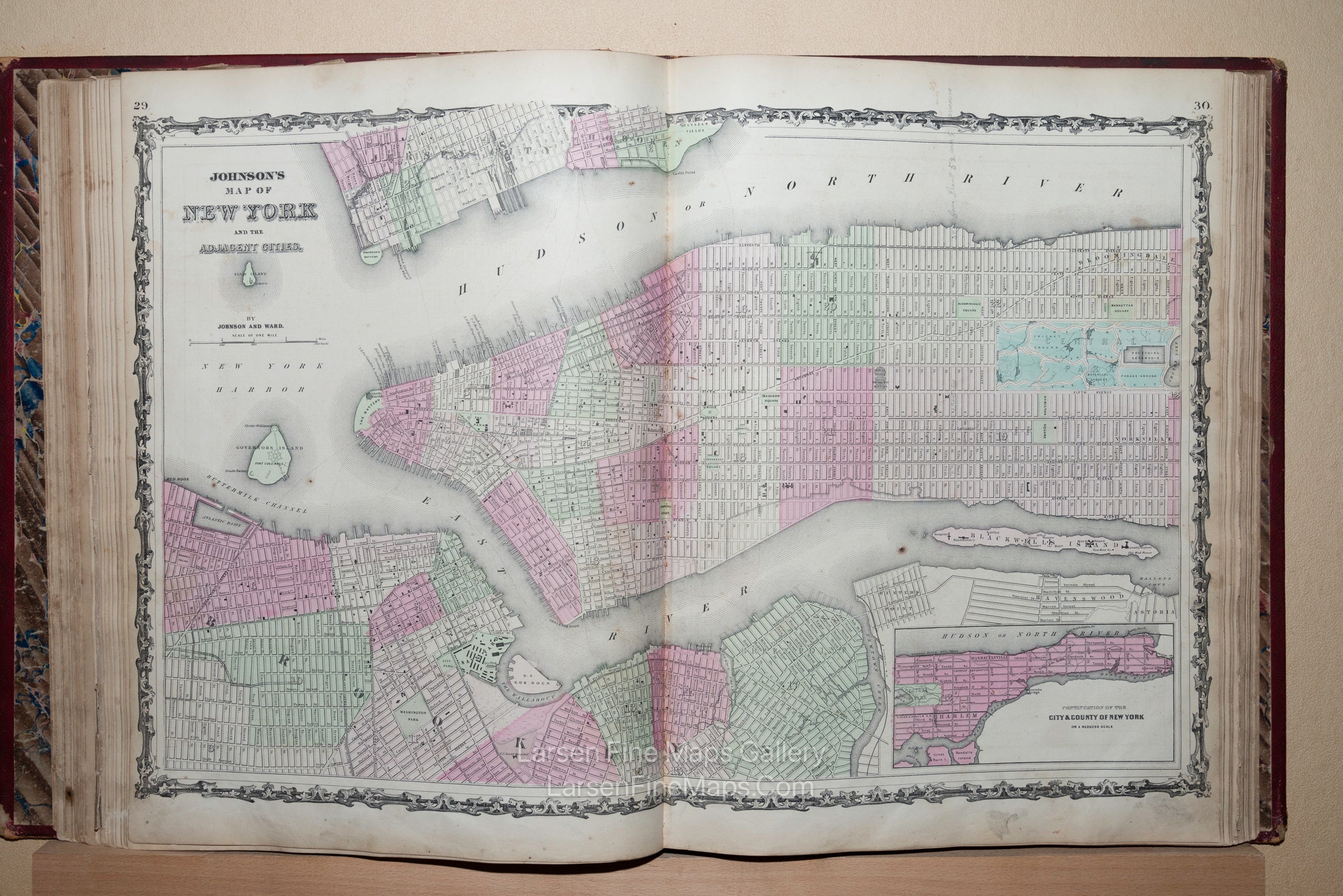
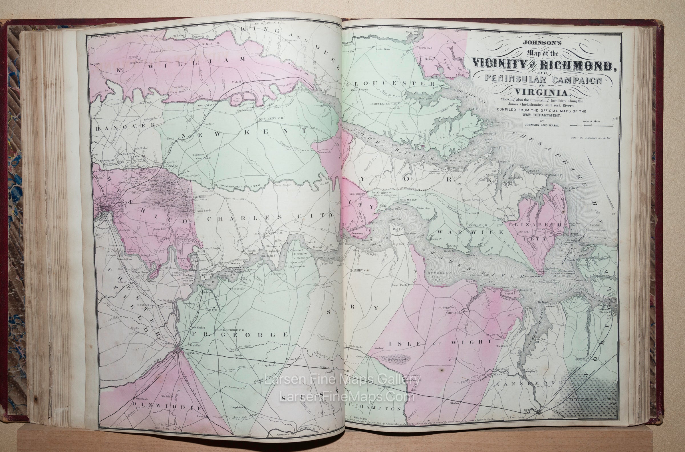
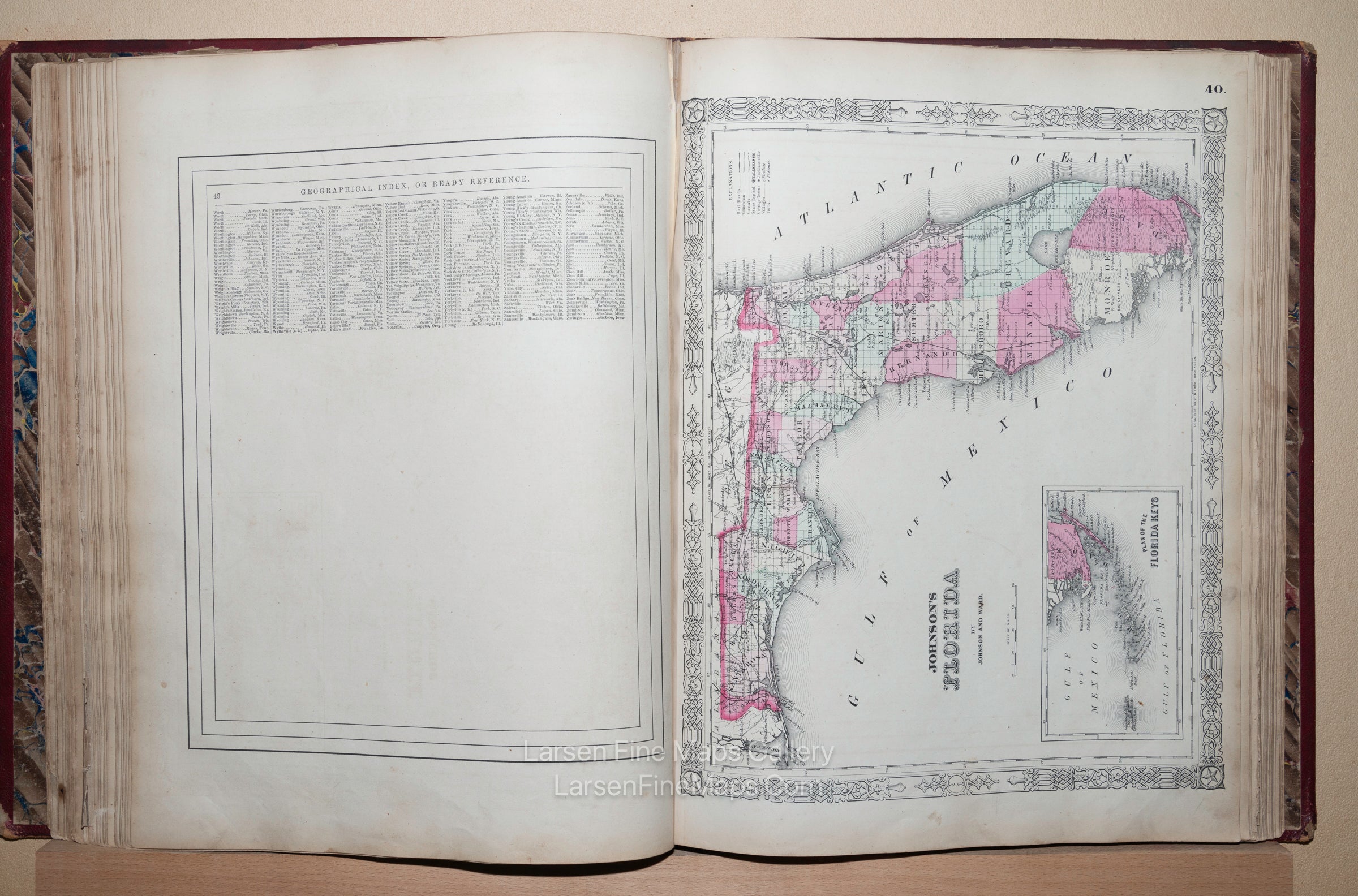
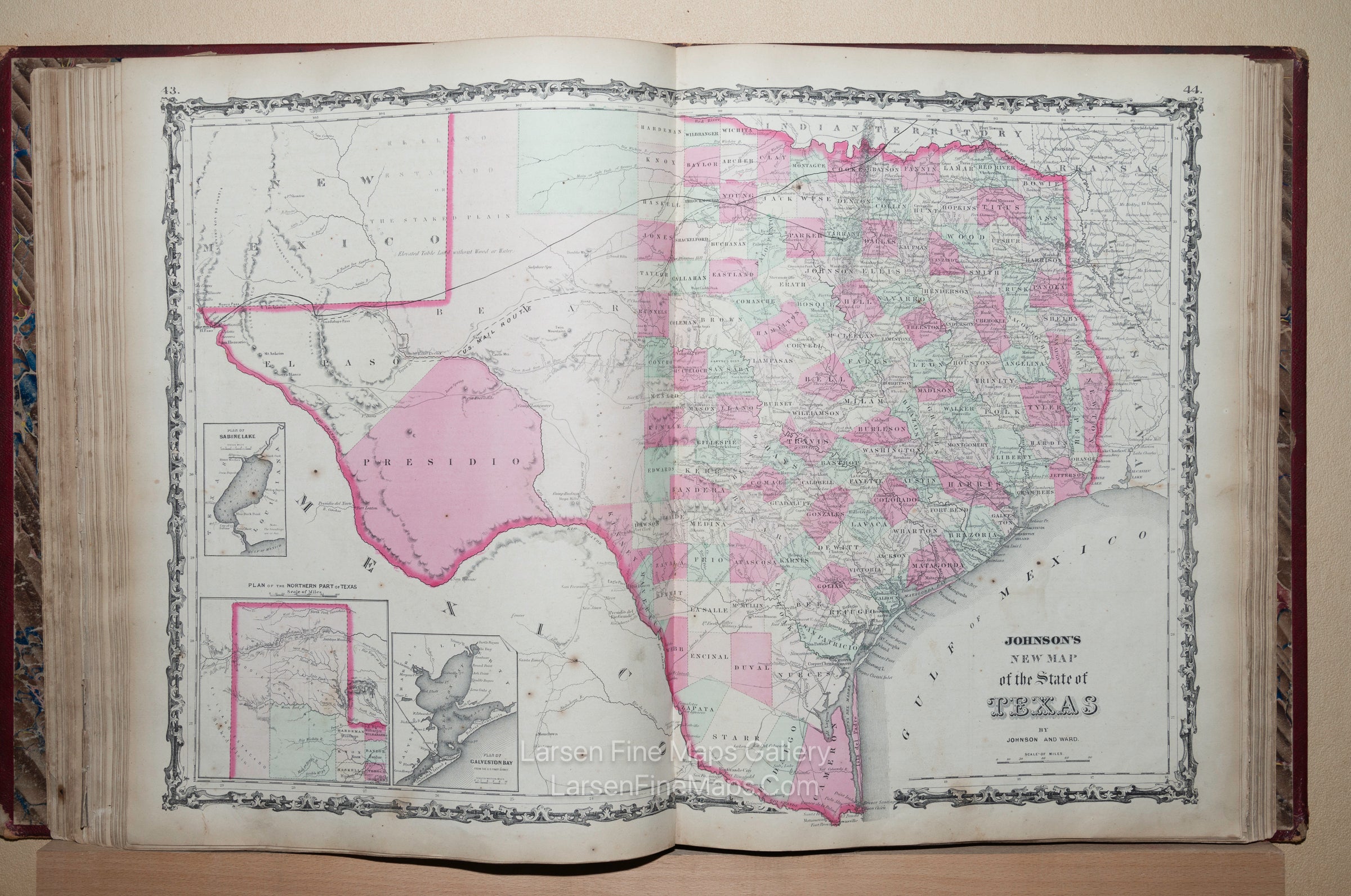
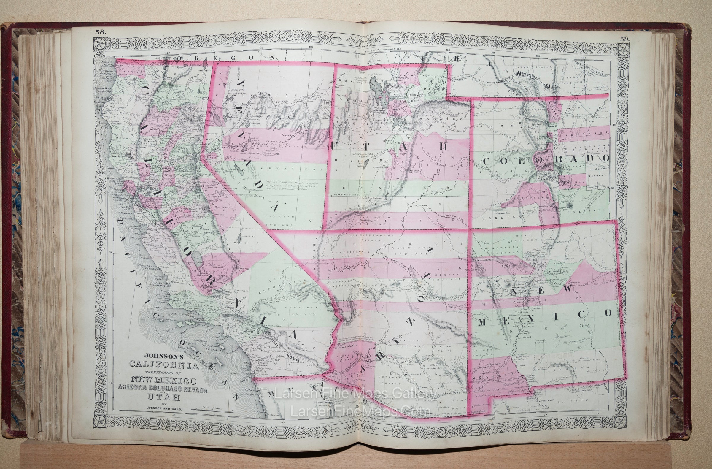
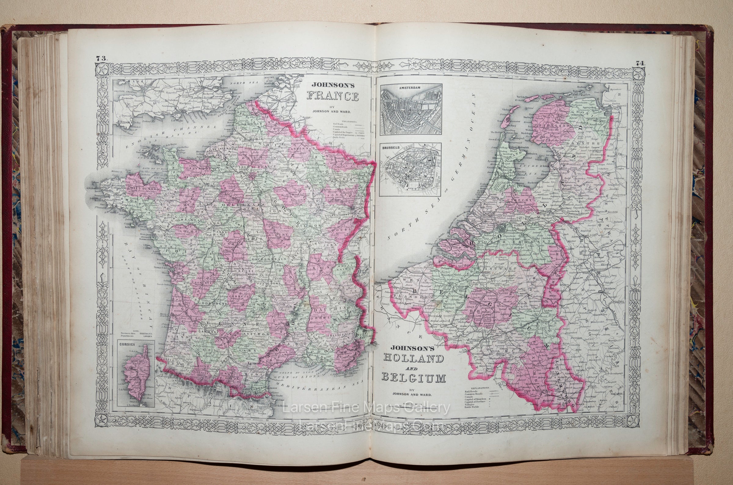
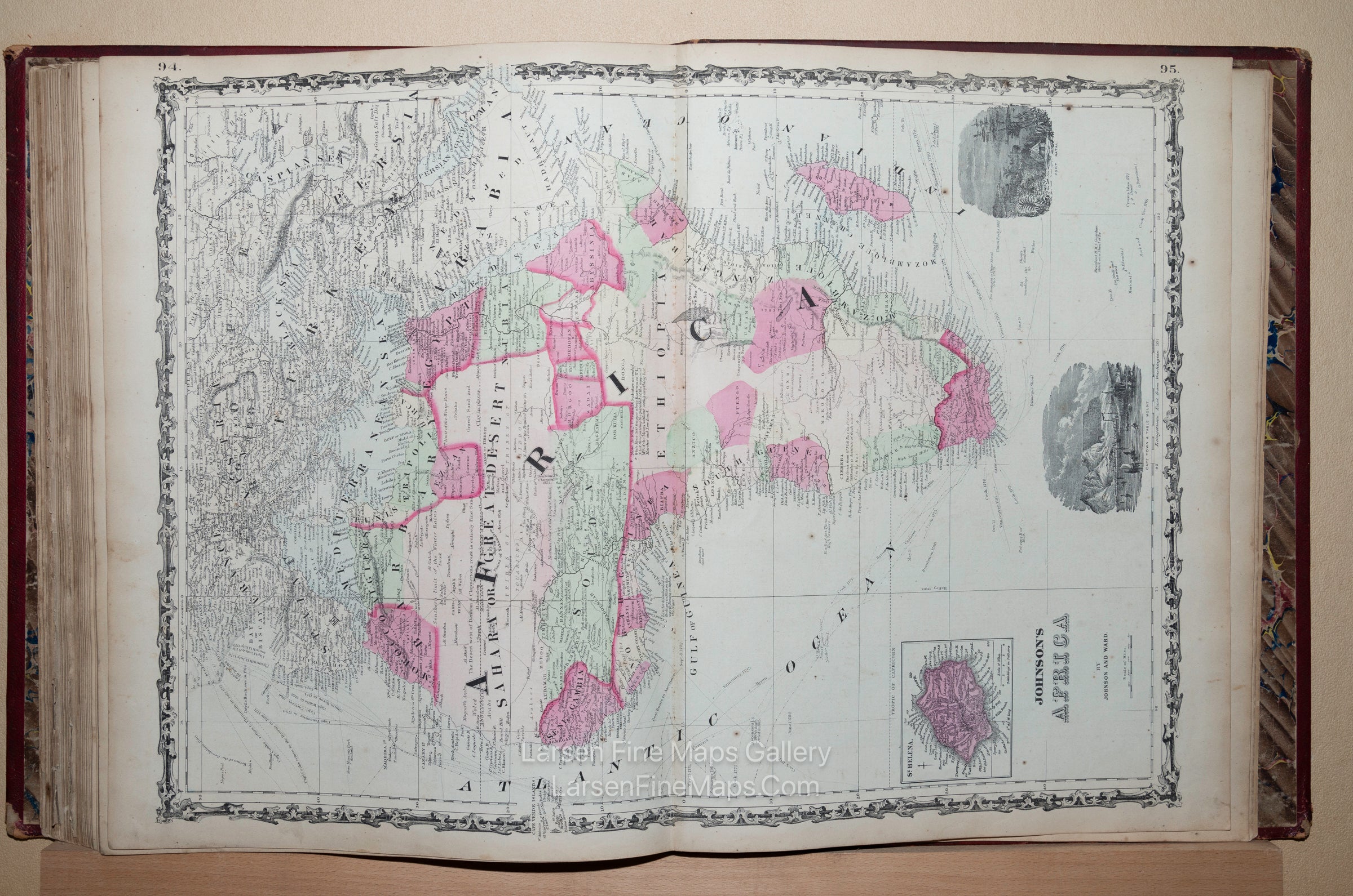
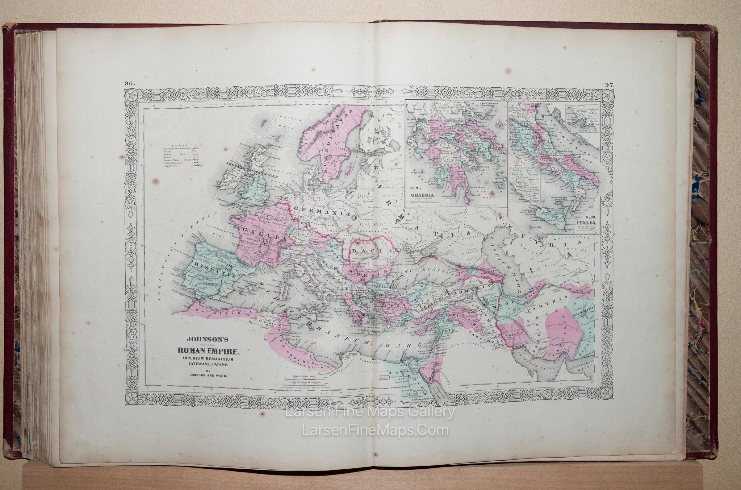
A scarce early state and striking example of the Deluxe Full Red Leather folio issue of the 1863 Atlas. The atlas contains 31 double-page maps and 27 single-page maps. The index needs to be more accurate in showing single vs double-page maps, as Germany-2 and Germany-3 are double-page maps listed as two single-page maps. The last two maps listed as two double-page maps are actually one double-page map, and lastly, the double-page "Johnson's Map of the Vicinity of Richmond, and Peninsular Campaign in Virginia: also showing the interesting localities along the James, Chickahominy, and York Rivers" is not listed at all in the index but is present (this state of the Richmond map also lacks any page numbers present in later less-rare states).
This issue of the rare 1863 atlas has a mixed grouping of map editions from Johnson and Browning's 1862 versions and Johnson and Ward's newer 1863 maps with revised border designs. For a great discussion on Johnson's atlases and maps therein, see Ira Lourie's pages at johnsonmapproject online.
According to information on the site, this edition is scarce as this atlas DOES contain the New Military Map of the United States WITH West Virginia added.
Contact me regarding images of the complete Atlas
FULL TITLE
MAPMAKER/CARTOGRAPHER/AUTHOR
PUBLISHER
PUBLICATION
DIMENSIONS (Inches)
CONDITION
Choose options
DESCRIPTION
FULL TITLE
MAPMAKER/CARTOGRAPHER/AUTHOR
PUBLISHER
PUBLICATION
DIMENSIONS (Inches)
CONDITION
DESCRIPTION
FULL TITLE
MAPMAKER/CARTOGRAPHER/AUTHOR
PUBLISHER
PUBLICATION
DIMENSIONS (Inches)
CONDITION