YEAR PUBLISHED: 1849
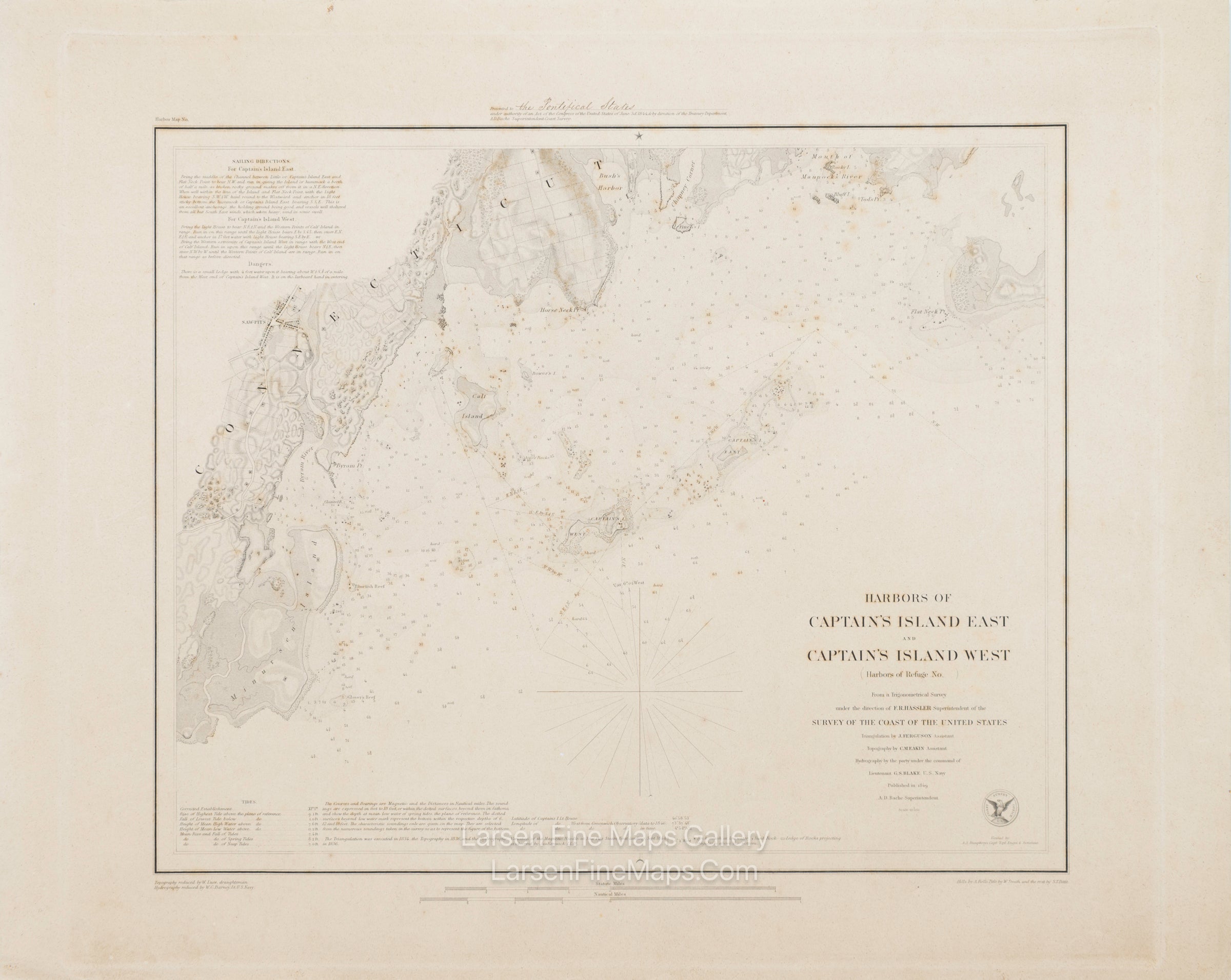
Harbors of Captain's Island East and Captain's Island West
DESCRIPTION
A very nice thick-paper edition U.S. Coast Survey chart of the Harbors of Captain's Island East and West. The chart shows nice terrestrial details as well as many aids and hazards to navigation, including depth soundings, bottom types, reefs, rocks, buoys, range lines, bearings, courses, points, harbors, tidal information, etc. This is a very rare presentation copy that was presented to The Pontifical States.
FULL TITLE
MAPMAKER/CARTOGRAPHER/AUTHOR
PUBLISHER
PUBLICATION
DIMENSIONS (Inches)
CONDITION
Choose options
DESCRIPTION
FULL TITLE
MAPMAKER/CARTOGRAPHER/AUTHOR
PUBLISHER
PUBLICATION
DIMENSIONS (Inches)
CONDITION
DESCRIPTION
FULL TITLE
MAPMAKER/CARTOGRAPHER/AUTHOR
PUBLISHER
PUBLICATION
DIMENSIONS (Inches)
CONDITION