YEAR PUBLISHED: 1799
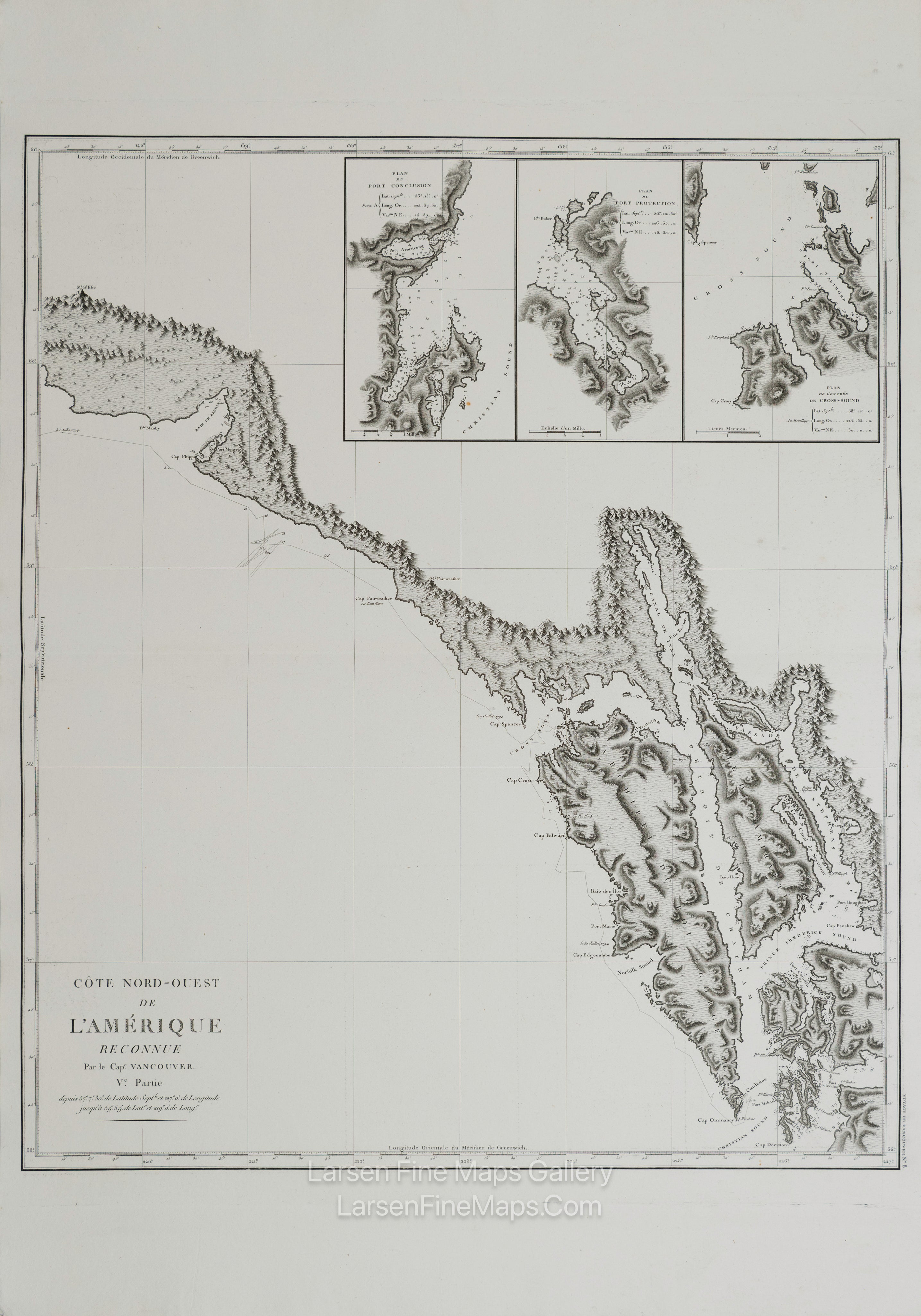
Côte Nord-Ouest de l'Amérique Reconnue par le Cape. Vancouver. Ve Partie
DESCRIPTION
Striking and highly detailed refined unusual copper engraved large-format George Vancouver's 1799 sea sea chart focusing on the rugged coastline of the southern Alaska panhandle from modern day Yakutat Bay (Baie de Beering) to the Alexander Archipelago (Archipel du Roi George III). Traditionally, this region is the homeland of the Haida and Tlingit Peoples, known for their impressive wood carvings, massive totem poles, and unique culture. This is the first truly accurate and detailed reconnaissance of this forbidding coastline. As he surveyed this region in 1793 and 1794, Vancouver's path is noted. The incredible detail of this chart, the finest mapping of the American coast to appear for nearly 90 years after its publication, is an extraordinary monument to Vancouver's meticulous nature.
This particular example of Vancouver's map was issued as plate no. 10 in the highly desirable 1799 French edition of Vancouver's Atlas. It was drawn by Lieutenant Edward Roberts and engraved by Blondeau. The rare and coveted French edition of Vancouver's Atlas is more beautifully produced, with better engraving, higher-quality paper, and more detail than the 1798 English edition. This scarce map is a core piece for any serious collection focusing on California, Vancouver, British Columbia, or the Pacific Northwest.
FULL TITLE
MAPMAKER/CARTOGRAPHER/AUTHOR
PUBLISHER
PUBLICATION
DIMENSIONS (Inches)
CONDITION
Choose options
DESCRIPTION
FULL TITLE
MAPMAKER/CARTOGRAPHER/AUTHOR
PUBLISHER
PUBLICATION
DIMENSIONS (Inches)
CONDITION
DESCRIPTION
FULL TITLE
MAPMAKER/CARTOGRAPHER/AUTHOR
PUBLISHER
PUBLICATION
DIMENSIONS (Inches)
CONDITION