
YEAR PUBLISHED: 1825
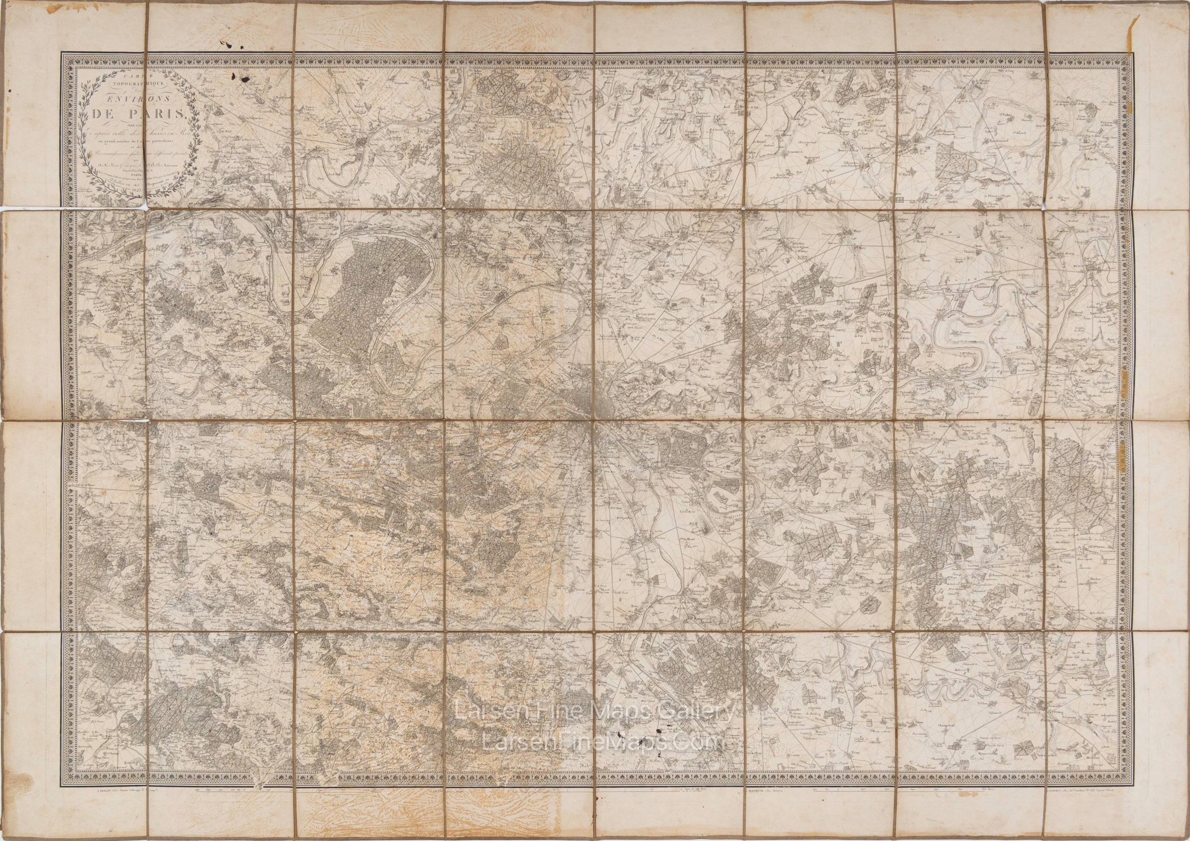
Carte Topographique des Environs de Paris
DESCRIPTION
A gorgeous dissected linen-mounted map of Paris and the surrounding area, "Carte Topographique des C," showing from Montfort-l'Amaury to Meaux and Plailly to Arpajon. The map is engraved by Brué.
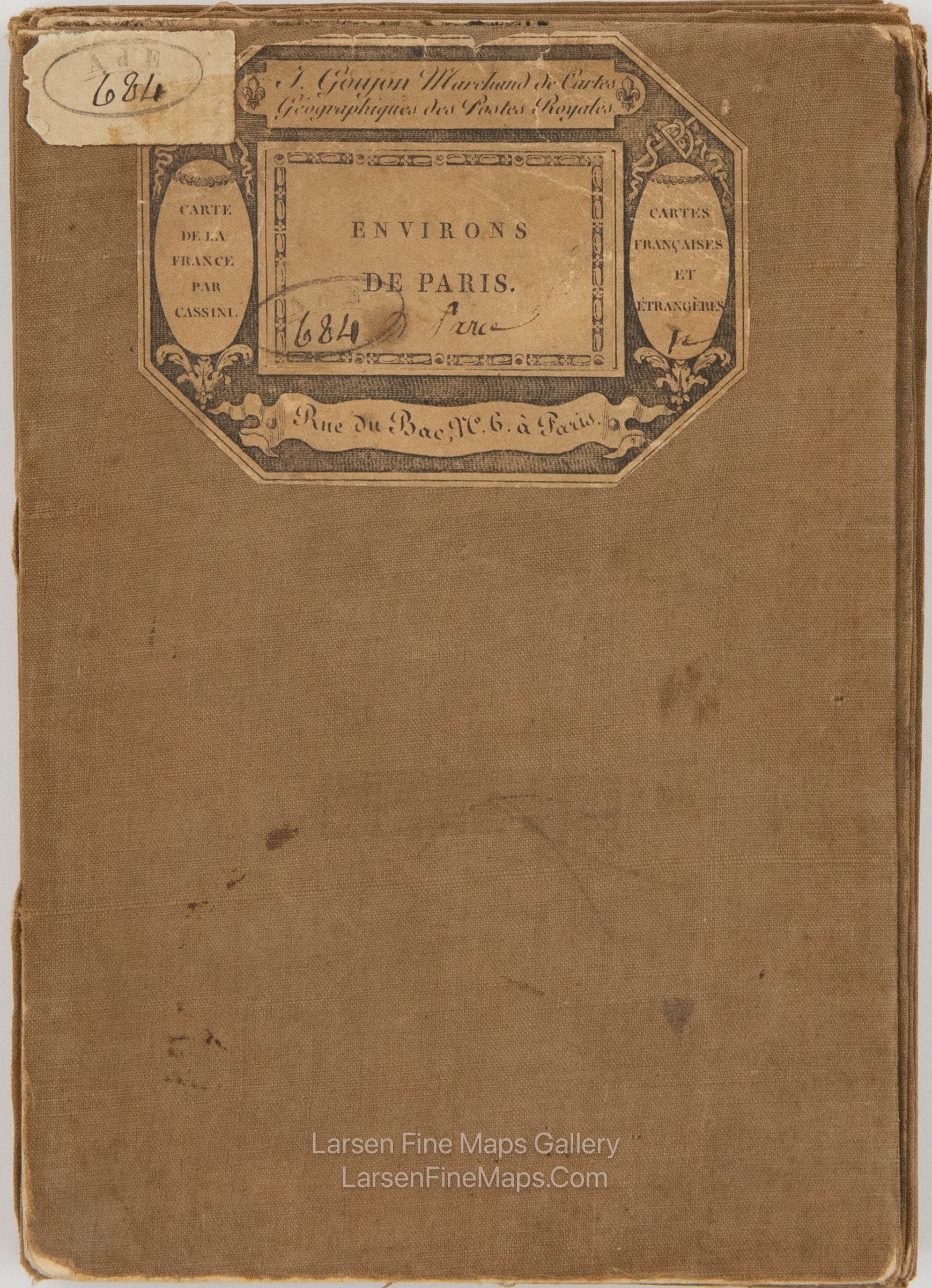
The cover section has a label with J. Goujon Marchand de Cartes Geographiques des Postes Royales, "Environs des Paris" 684 printed on it.
Steel engraving.
FULL TITLE
MAPMAKER/CARTOGRAPHER/AUTHOR
PUBLISHER
PUBLICATION
DIMENSIONS (Inches)
CONDITION
Choose options
DESCRIPTION
FULL TITLE
MAPMAKER/CARTOGRAPHER/AUTHOR
PUBLISHER
PUBLICATION
DIMENSIONS (Inches)
CONDITION
DESCRIPTION
FULL TITLE
MAPMAKER/CARTOGRAPHER/AUTHOR
PUBLISHER
PUBLICATION
DIMENSIONS (Inches)
CONDITION