YEAR PUBLISHED: 1800
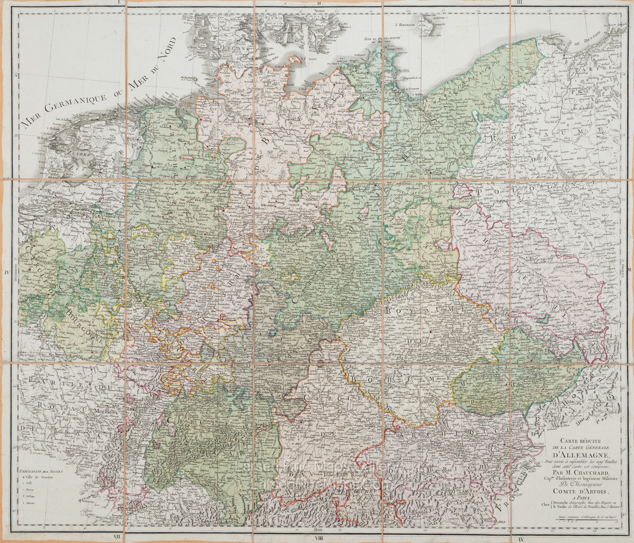
Carte Reduite De La Carte Generale D'Allemagne
DESCRIPTION
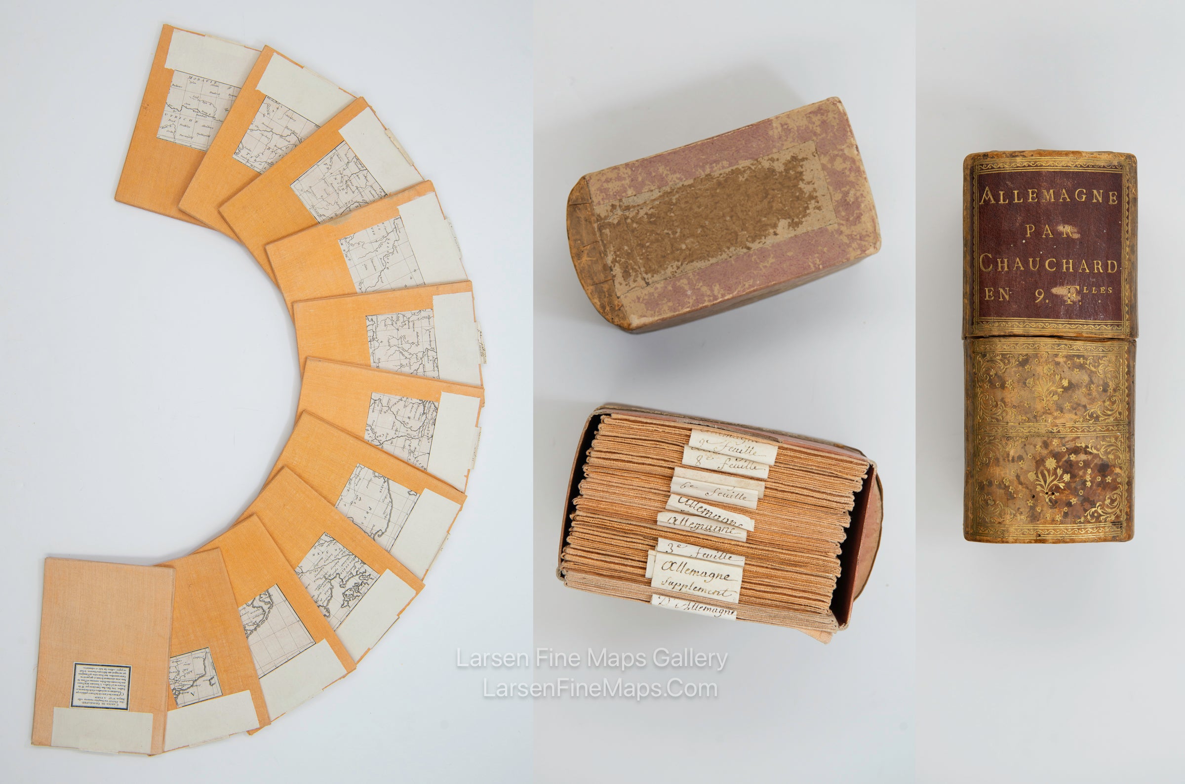
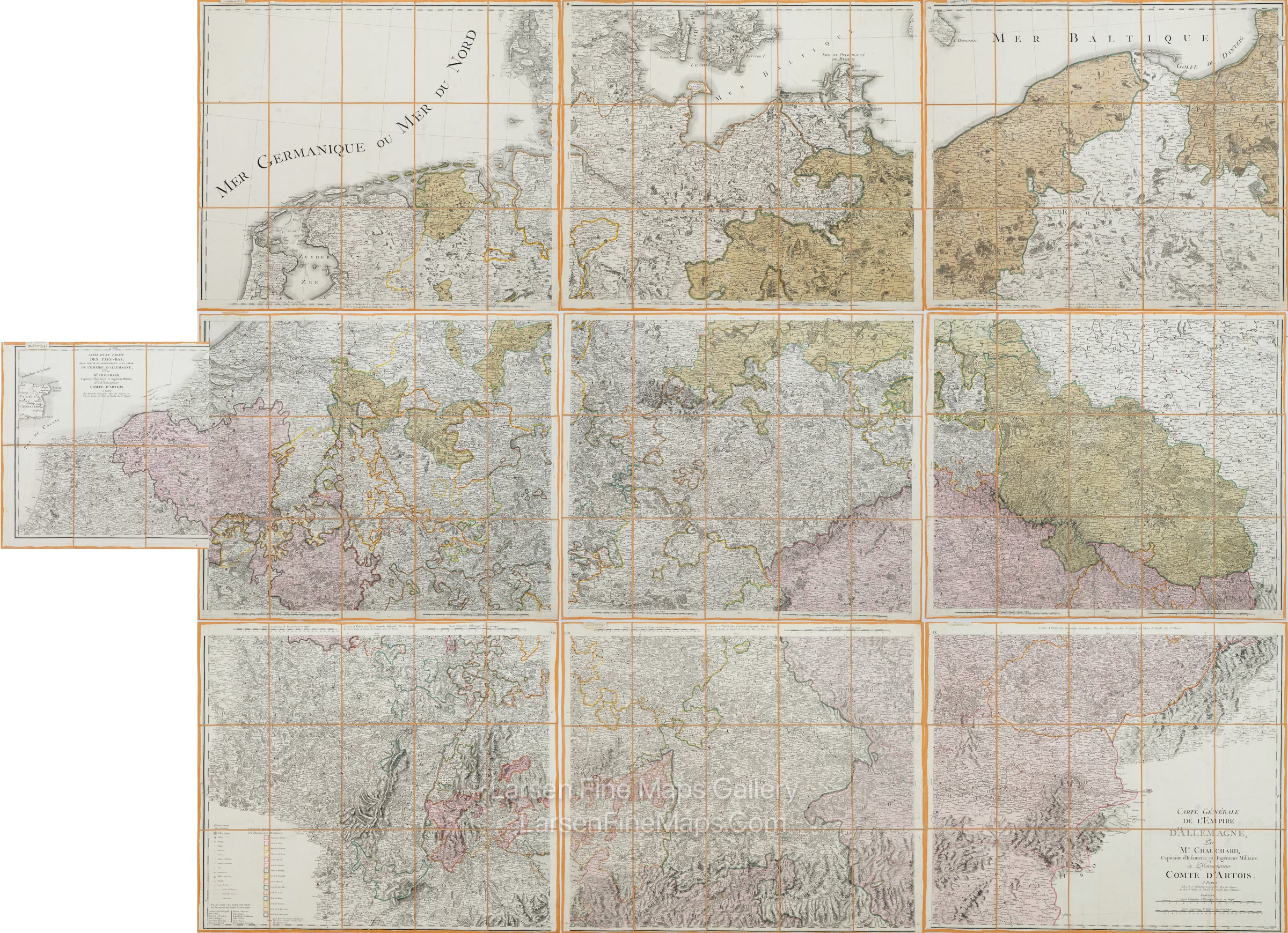
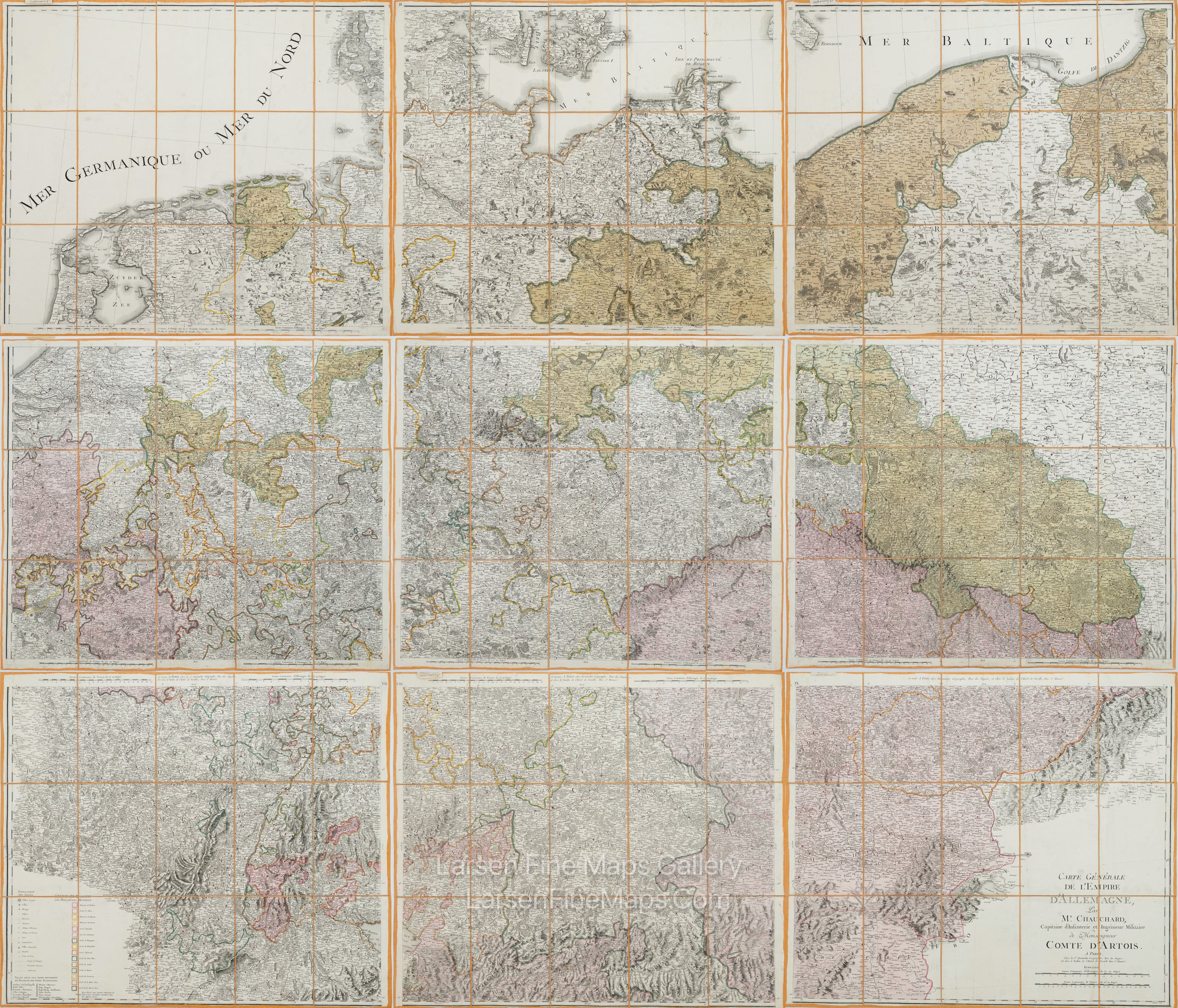
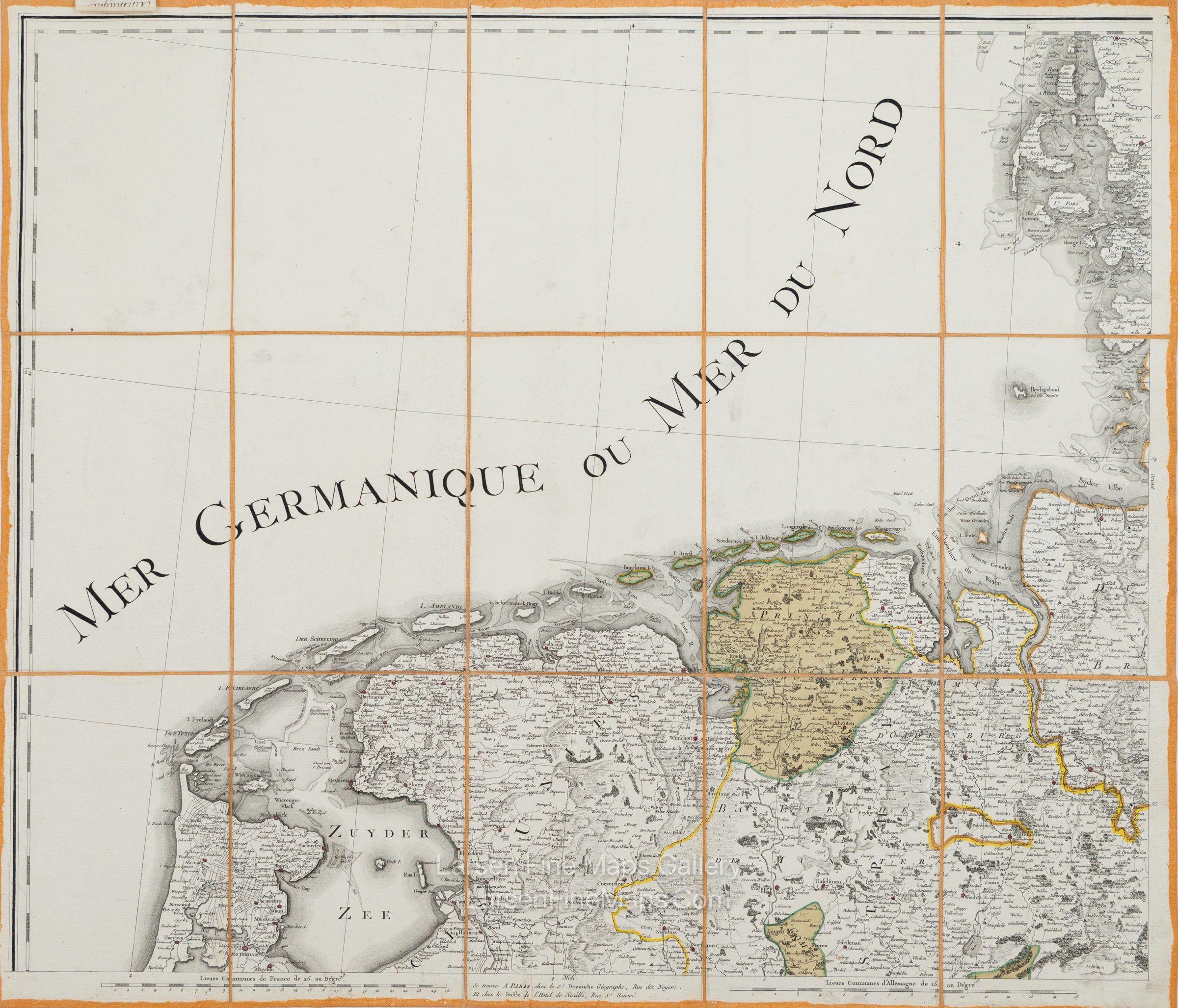
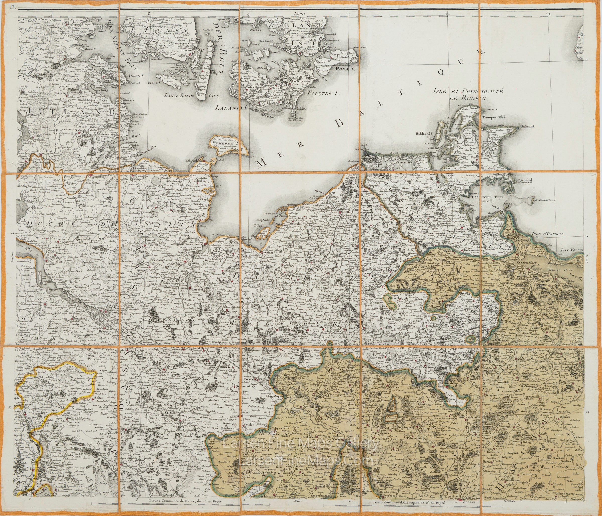
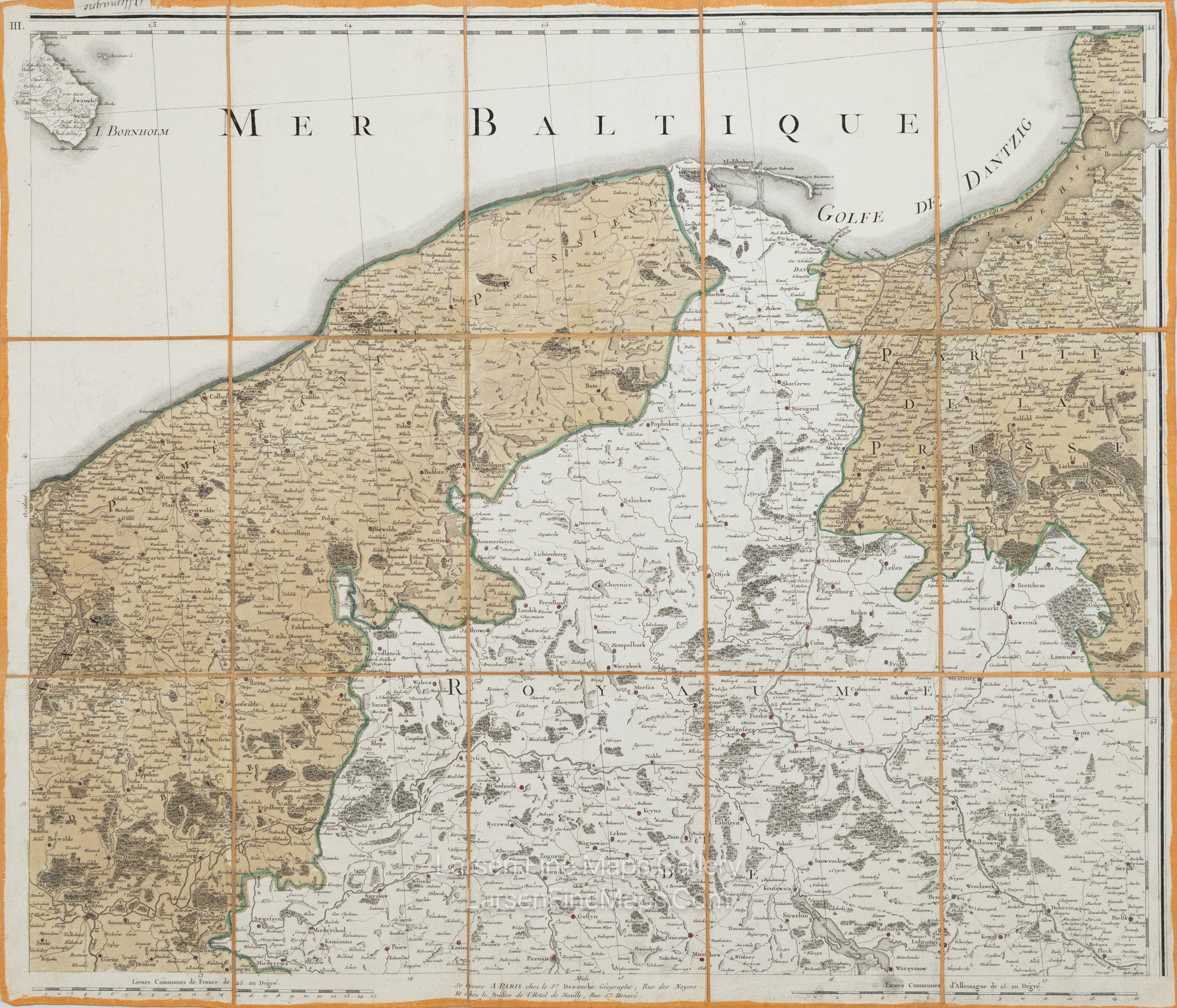
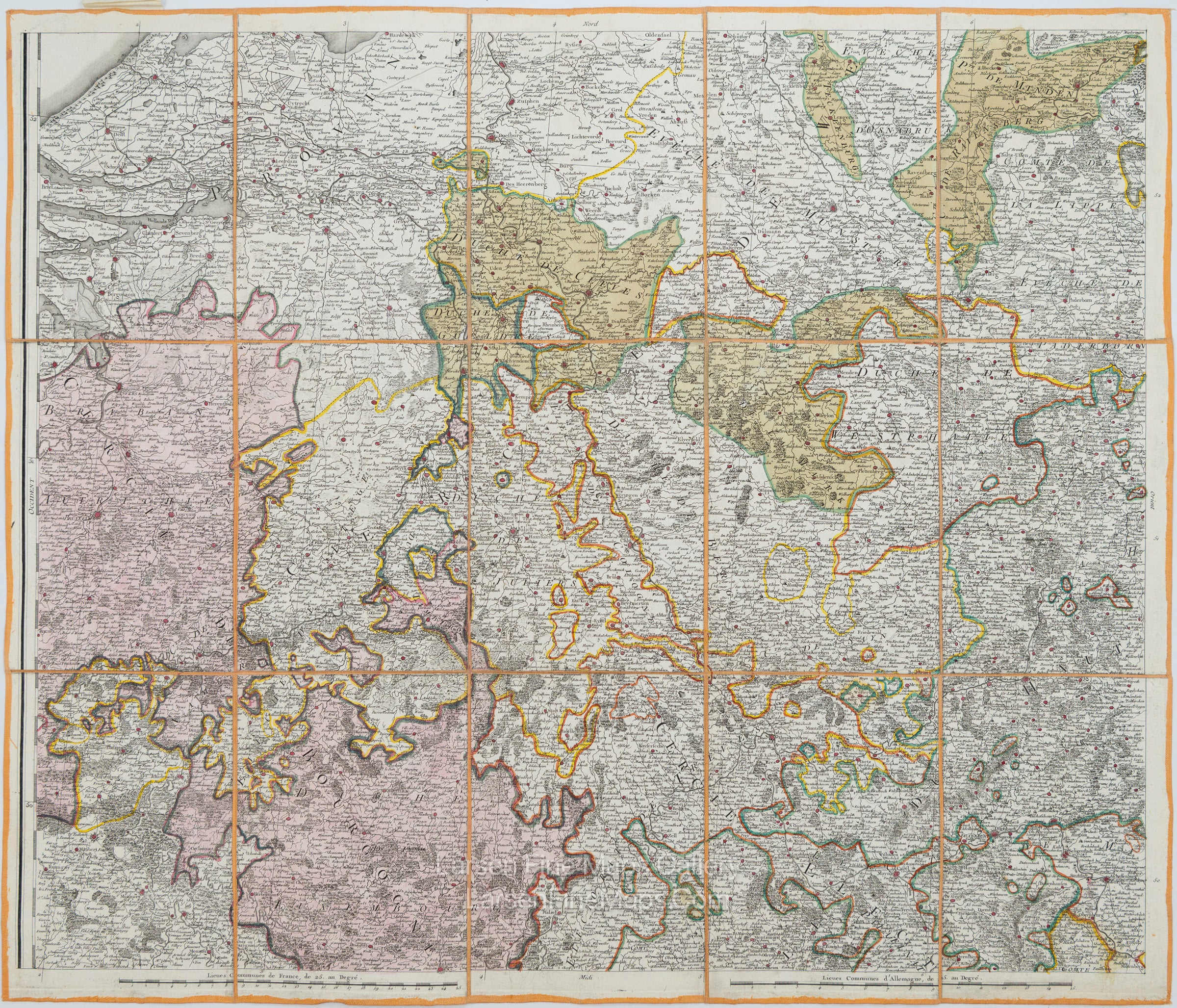
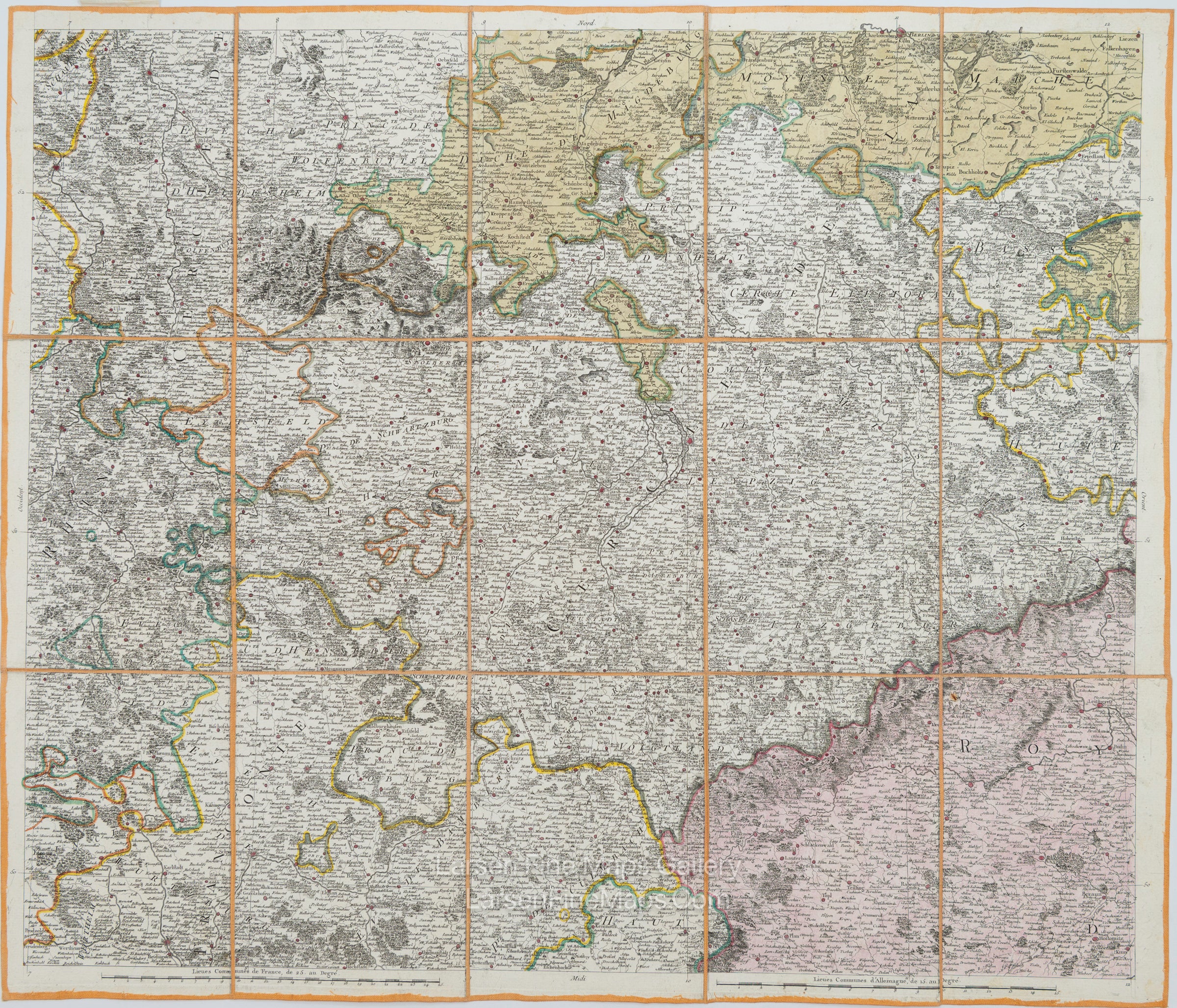
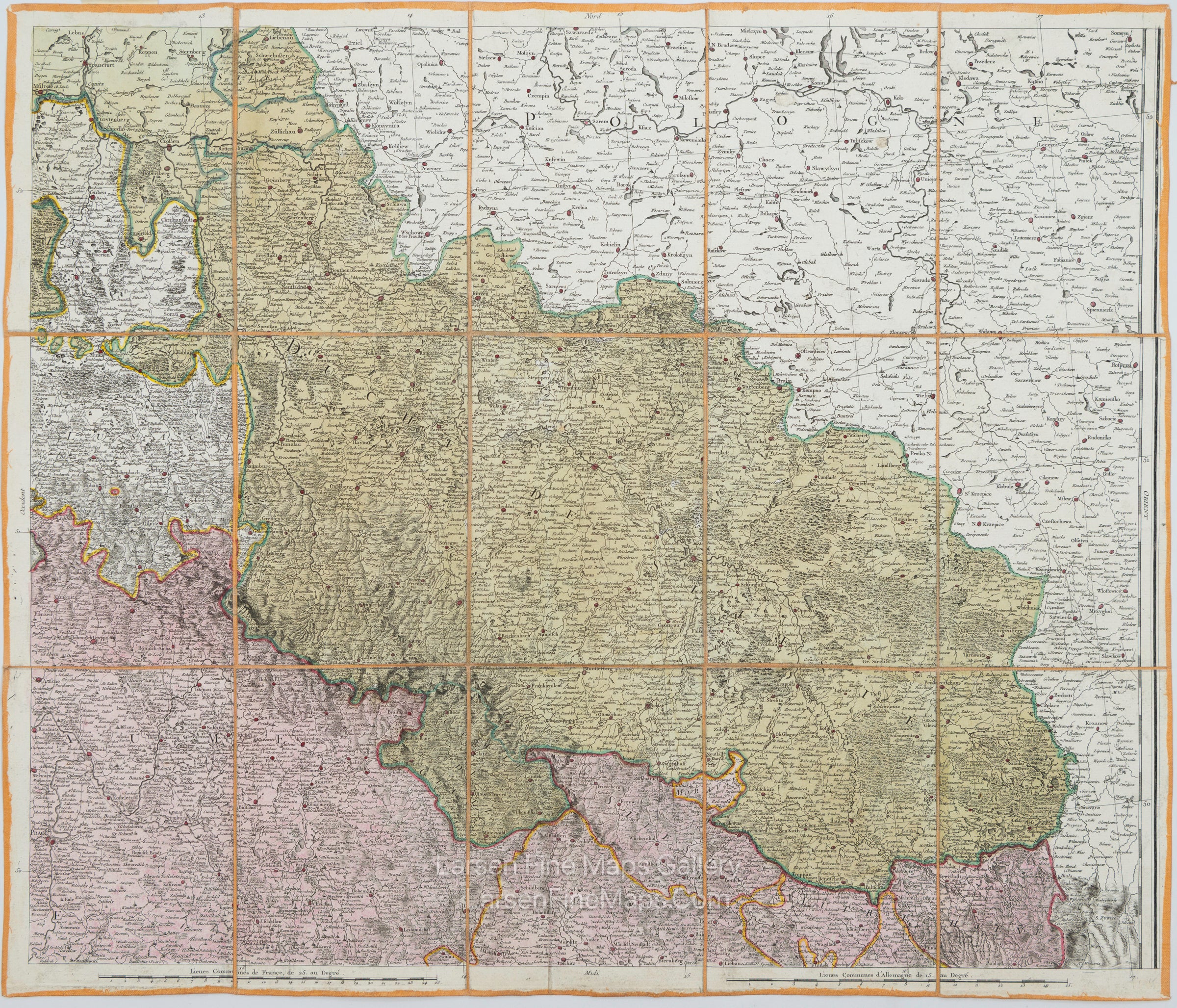
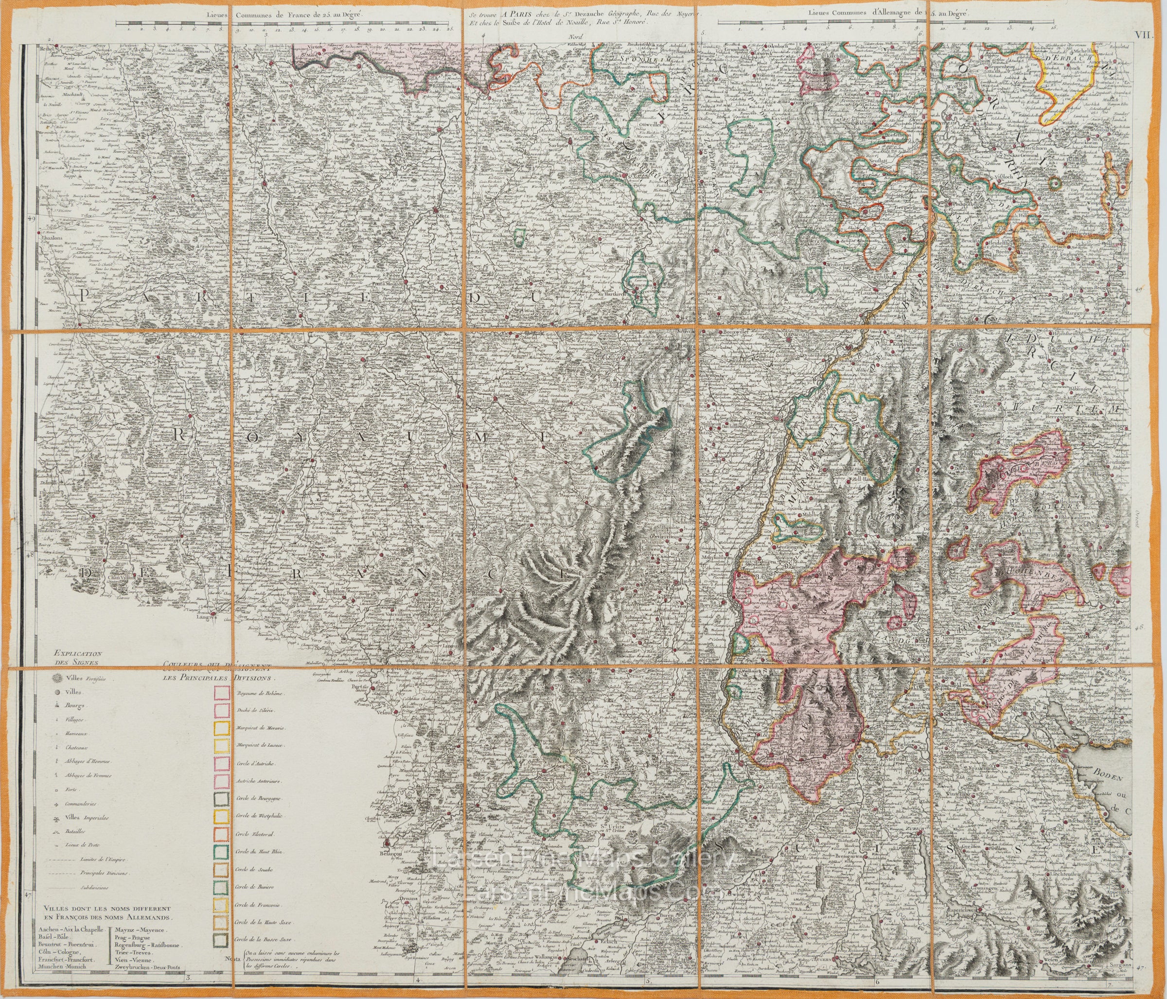
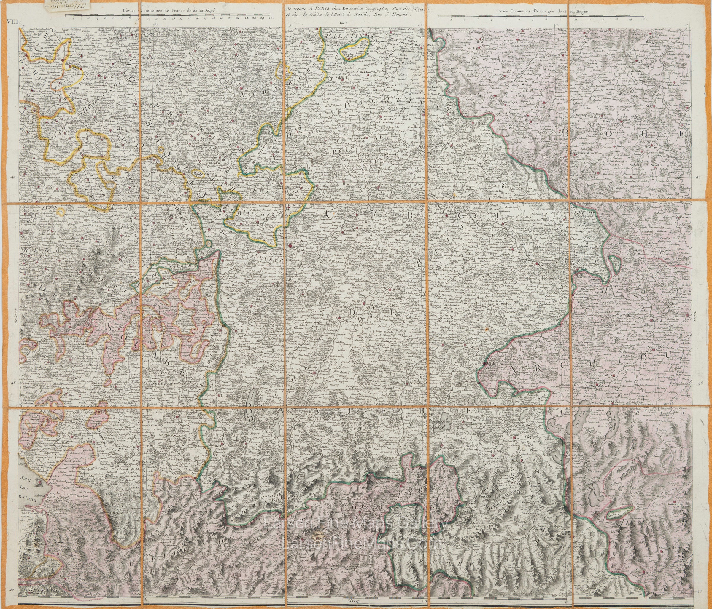
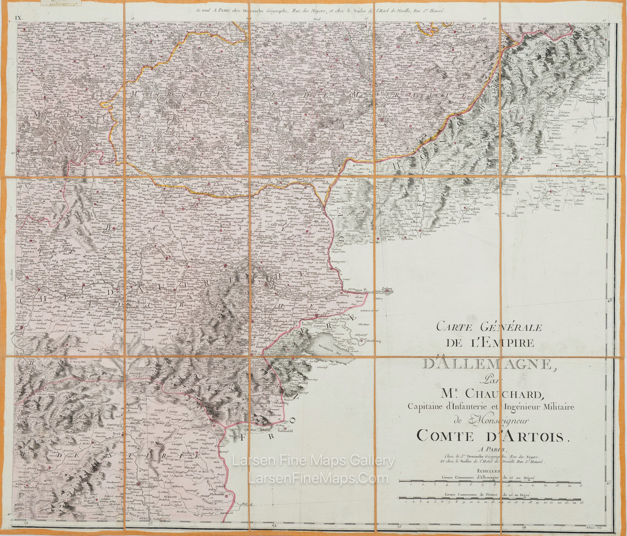
A fabulously preserved and scarce case map of Germany (Empire D'Allemagne) from c1800. This tile is the small-scale overview map of the entire empire and some neighboring areas. The map shows the 25 constituent States of the Empire. The Empire is color-shaded and outline-colored in vivid, rich colors. The lower left explains the icons: City of War, Town, Abbey, and Chateau. Relief is shown pictorially.
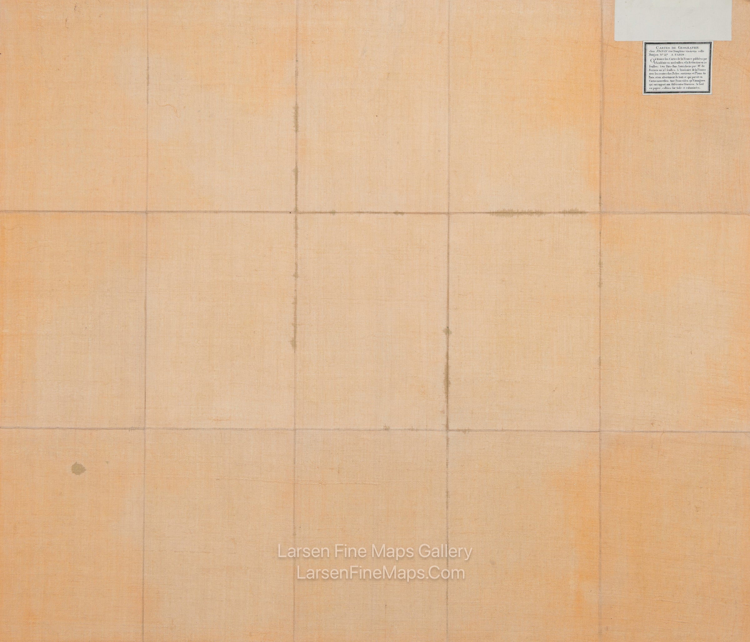
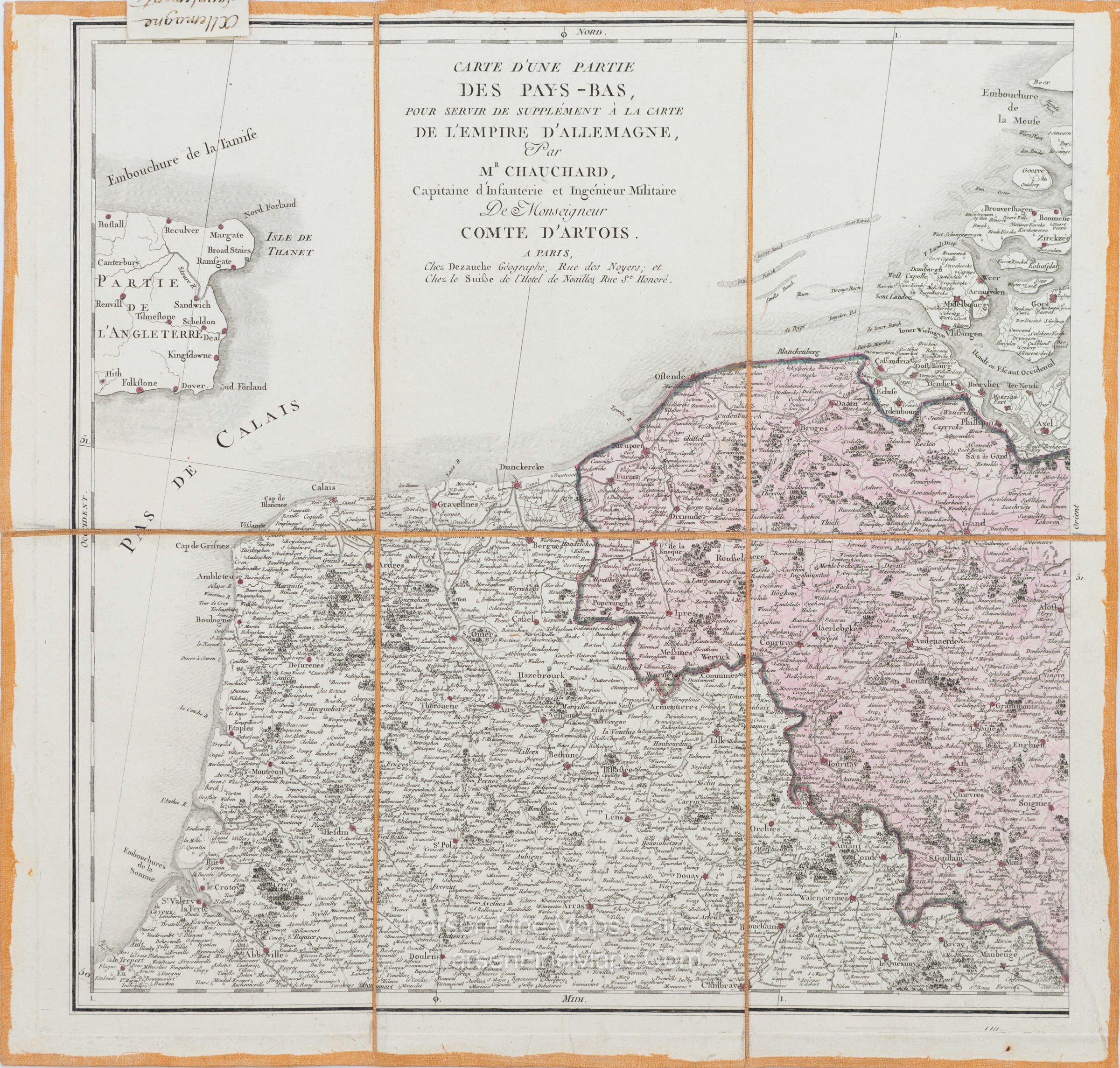
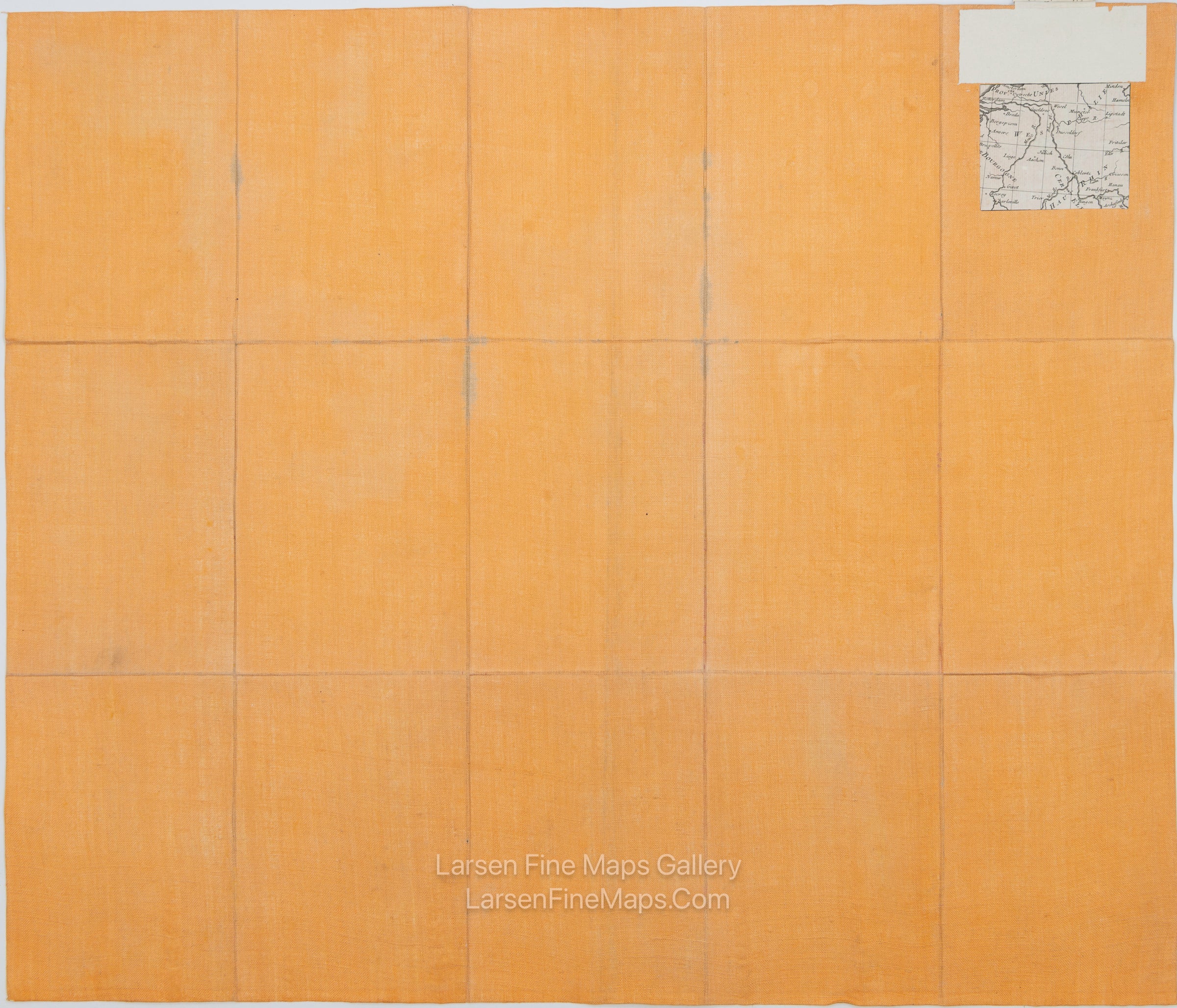
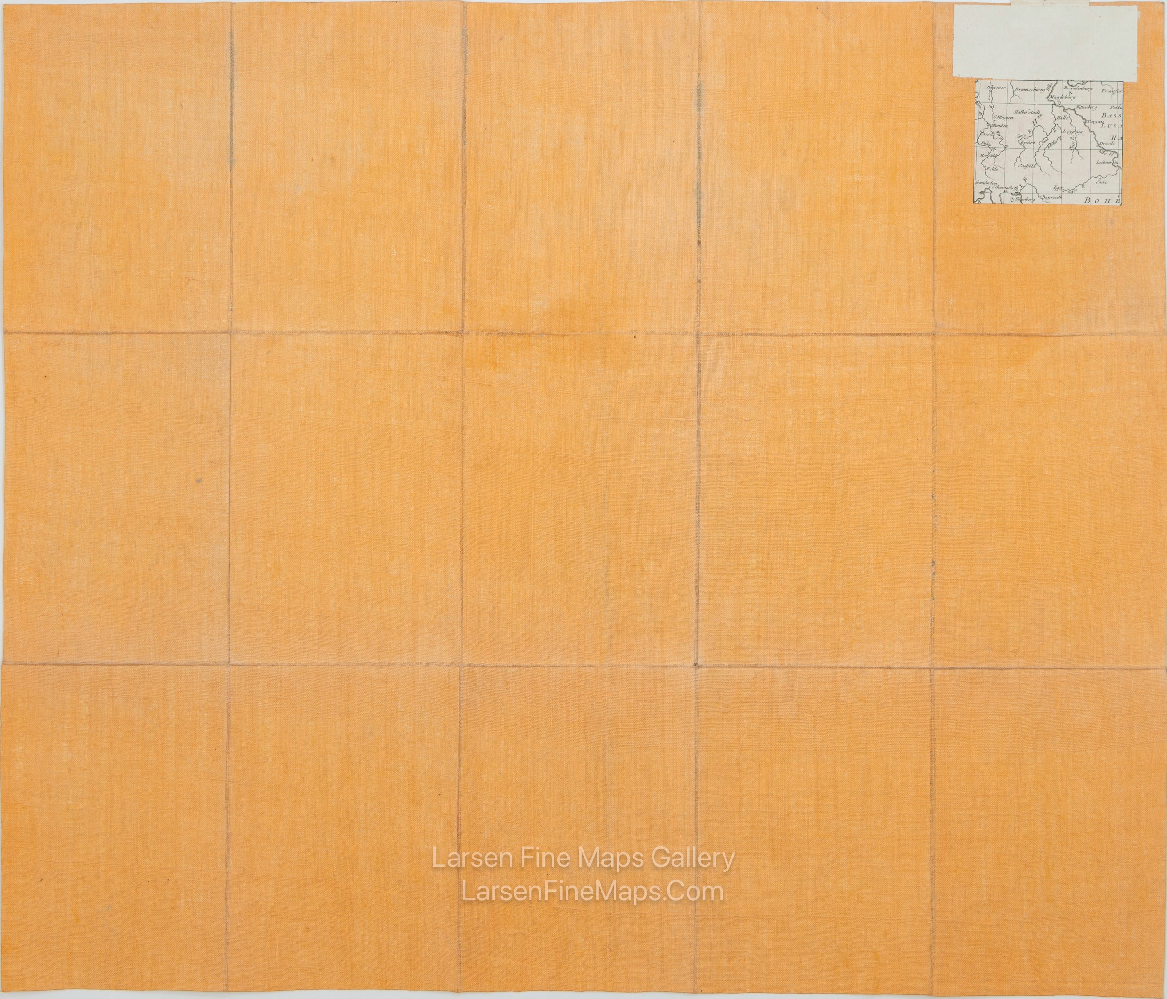
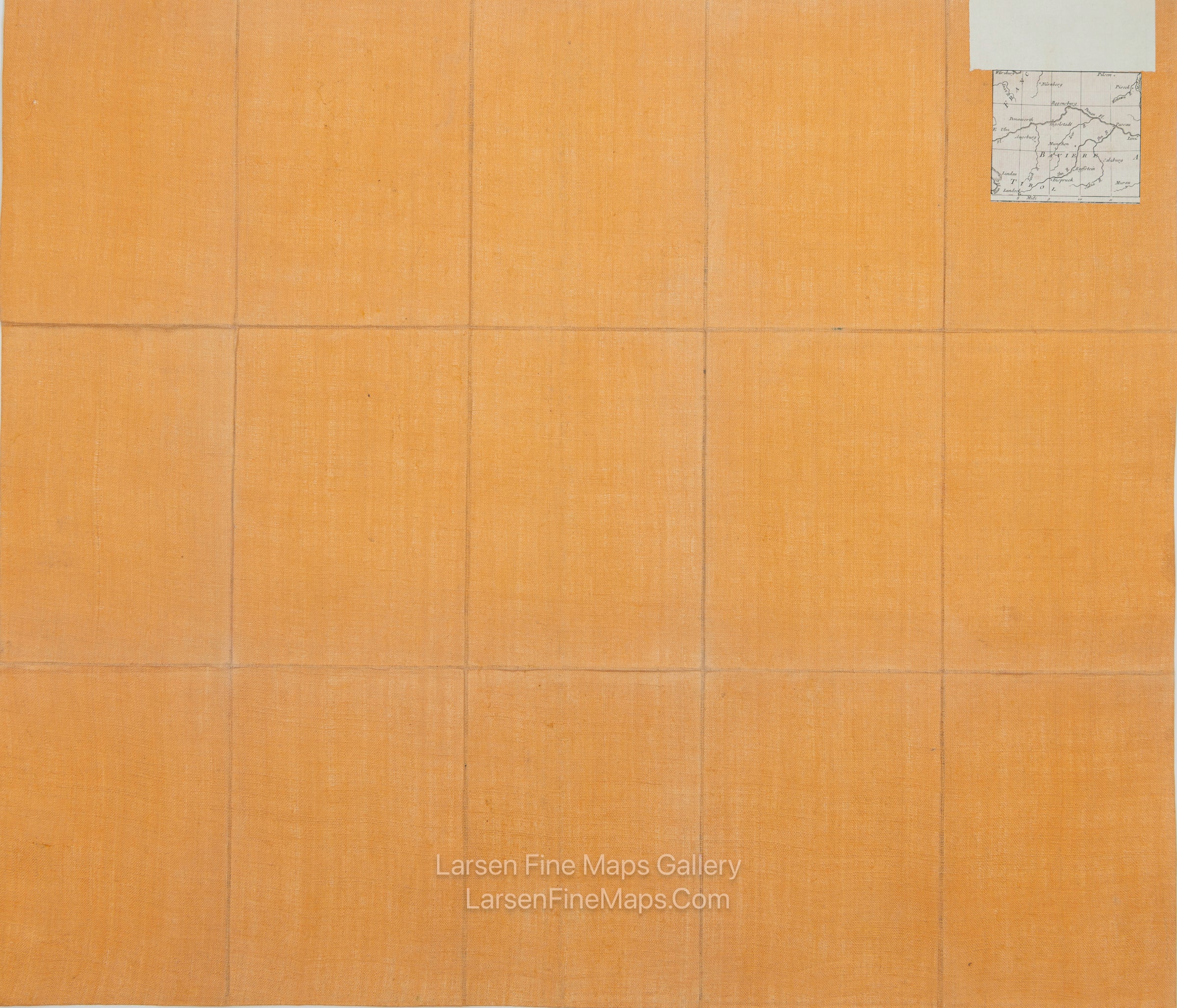
The entire set consists of 9 large tiles for the primary map, one overview map, and one supplement map. Each tile is linen-backed. This sheet has a descriptive label attached and a tab labeled "Carte Generale Allemagne."
The complete map's main area is approximately 87" x 75", and the small tile on the left is an additional 17.5" X 16.5".
FULL TITLE
MAPMAKER/CARTOGRAPHER/AUTHOR
PUBLISHER
PUBLICATION
DIMENSIONS (Inches)
CONDITION
Choose options
DESCRIPTION
FULL TITLE
MAPMAKER/CARTOGRAPHER/AUTHOR
PUBLISHER
PUBLICATION
DIMENSIONS (Inches)
CONDITION
DESCRIPTION
FULL TITLE
MAPMAKER/CARTOGRAPHER/AUTHOR
PUBLISHER
PUBLICATION
DIMENSIONS (Inches)
CONDITION