YEAR PUBLISHED: 1866
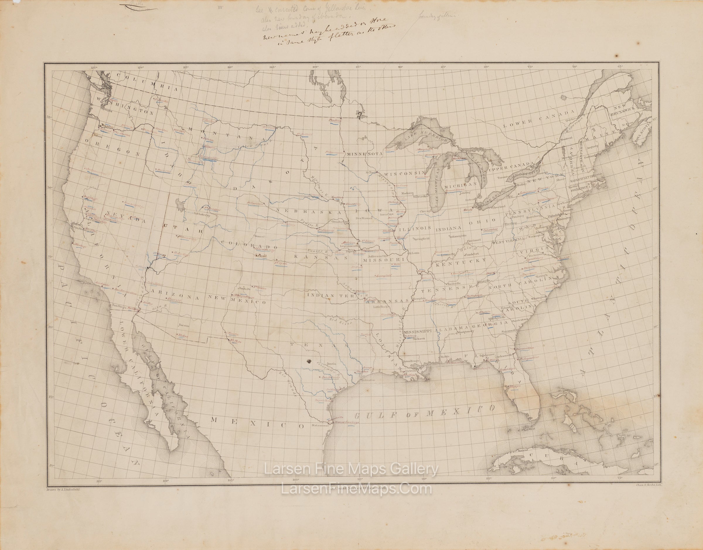
Base Map of United States
DESCRIPTION
This is an interesting early version of the U.S. Coast Survey base map of the United States. It lacks any title or other cartographic elements. It clearly is a working copy of the map with hand-drawn and notated corrections and updates such as new rivers, river course corrections, new place names, and updated state or territory boundaries—handwritten notes with corrections in the upper margin in both ink and pencil.
FULL TITLE
MAPMAKER/CARTOGRAPHER/AUTHOR
PUBLISHER
PUBLICATION
DIMENSIONS (Inches)
CONDITION
Choose options
DESCRIPTION
FULL TITLE
MAPMAKER/CARTOGRAPHER/AUTHOR
PUBLISHER
PUBLICATION
DIMENSIONS (Inches)
CONDITION
DESCRIPTION
FULL TITLE
MAPMAKER/CARTOGRAPHER/AUTHOR
PUBLISHER
PUBLICATION
DIMENSIONS (Inches)
CONDITION