YEAR PUBLISHED: 1827
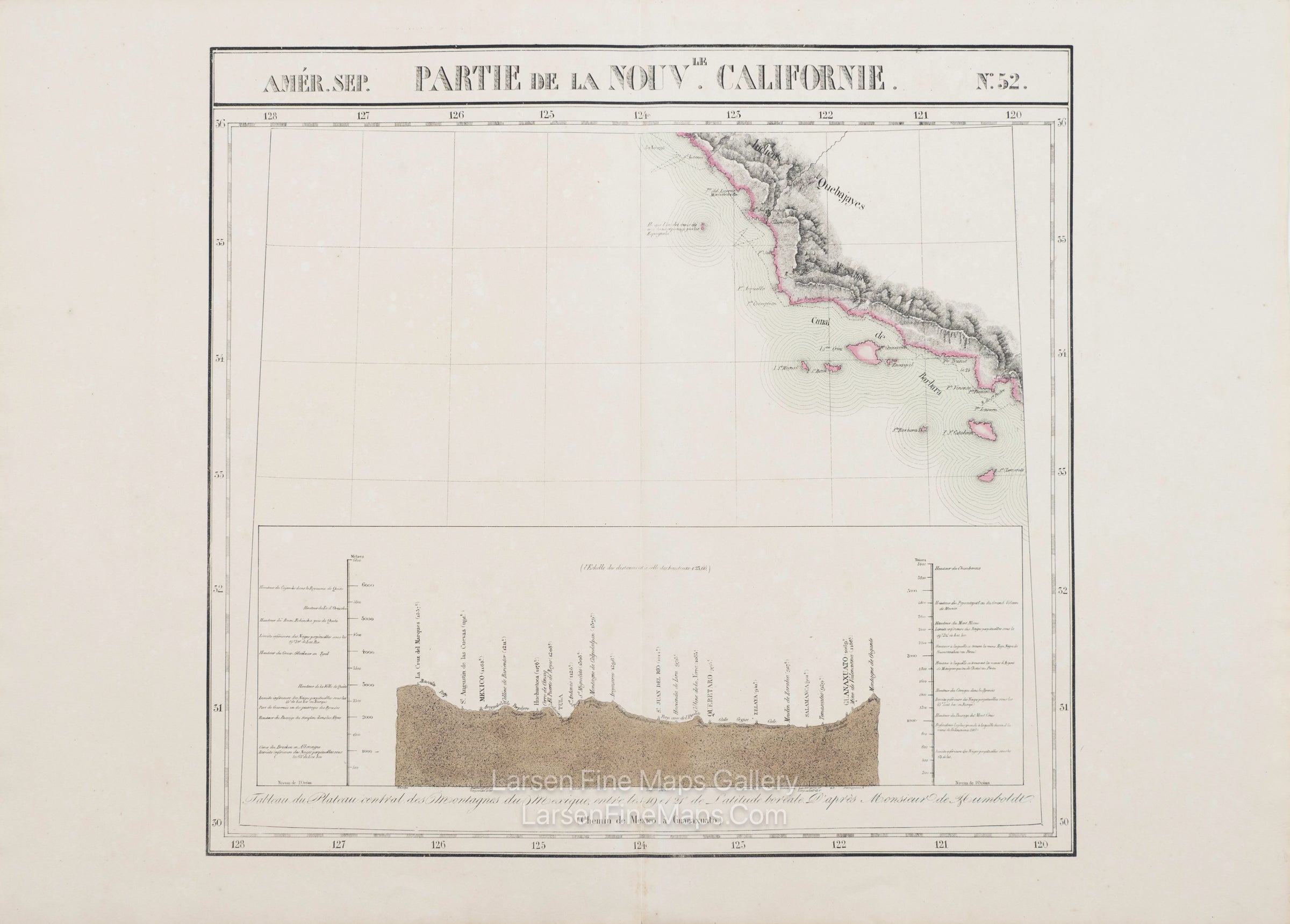
Amerique Septentrionale No. 52 Partie de la Nouvelle Californie
DESCRIPTION
A very nice map of coastal California from roughly present-day Long Beach up to Cambria. The map shows the mountainous areas by hachure, with the coastline colored. The Islands of Southern California (Channel Islands) are shown, with the notable exception of San Nicolas Island and the inclusion of a mythical island off the coast of the Morro Bay area. The note states, "the island that is said to have been seen in this area by the Spanish". There is also an elevation profile showing the central plateau of the mountains of Mexico, between the 19th and 24th latitude boreal, according to Humboldt.
FULL TITLE
MAPMAKER/CARTOGRAPHER/AUTHOR
PUBLISHER
PUBLICATION
DIMENSIONS (Inches)
CONDITION
Choose options
DESCRIPTION
FULL TITLE
MAPMAKER/CARTOGRAPHER/AUTHOR
PUBLISHER
PUBLICATION
DIMENSIONS (Inches)
CONDITION
DESCRIPTION
FULL TITLE
MAPMAKER/CARTOGRAPHER/AUTHOR
PUBLISHER
PUBLICATION
DIMENSIONS (Inches)
CONDITION