

Larsen Fine Maps Gallery Antique Old World Maps, Charts, Atlases, & Prints
Allgemeiner Atlas
DESCRIPTION
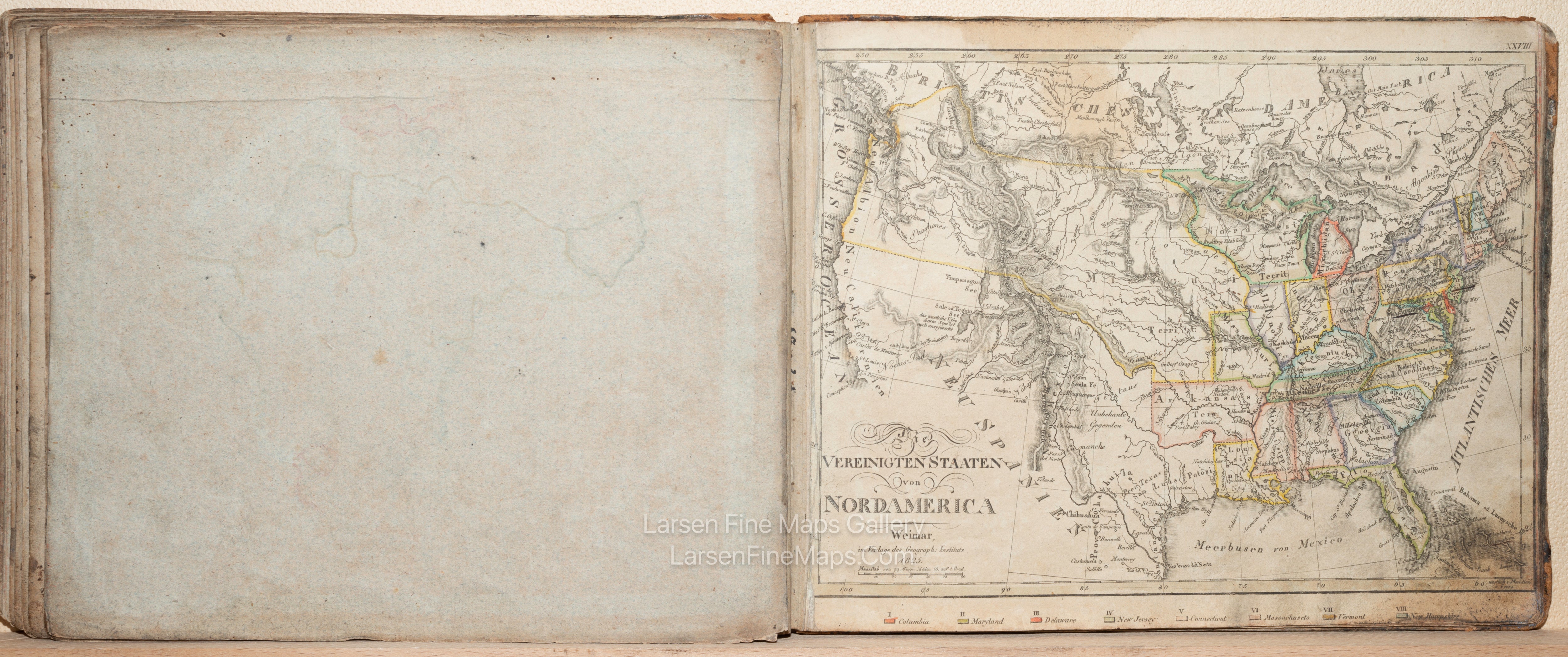
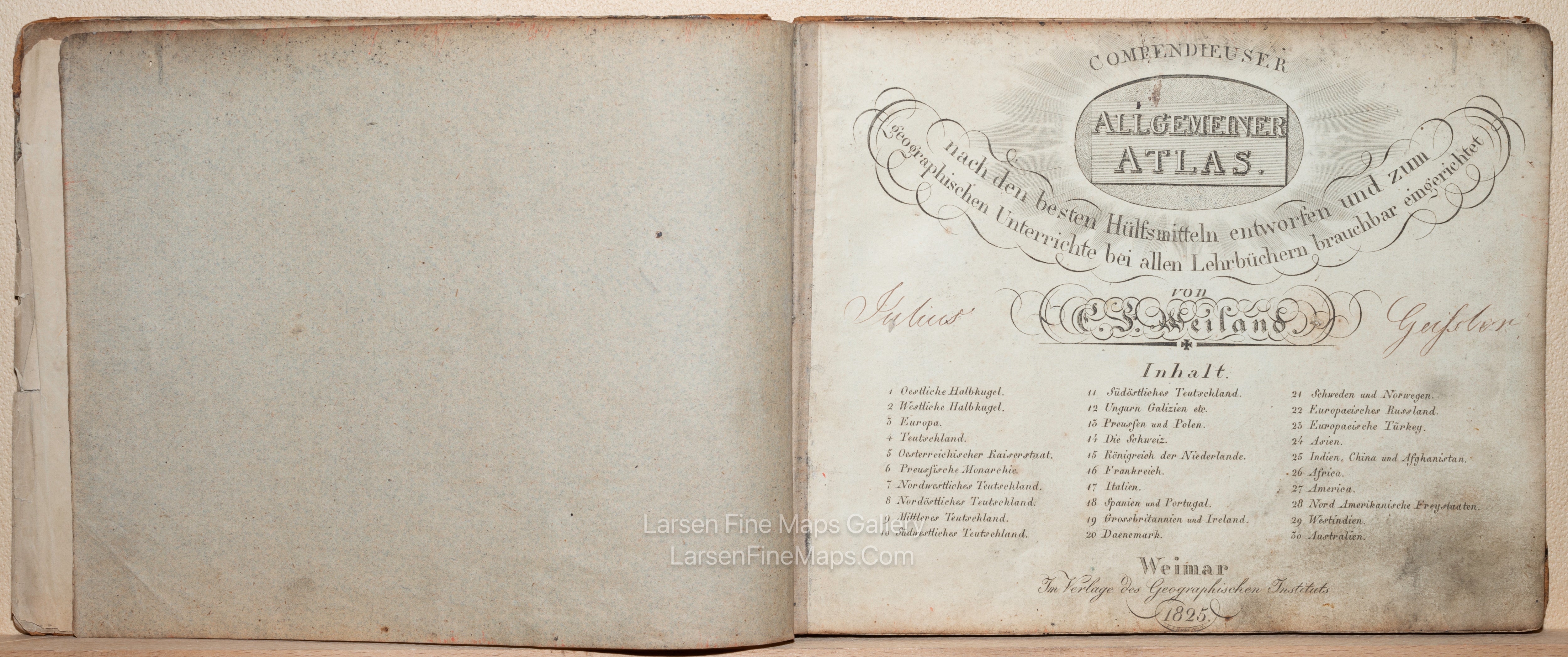
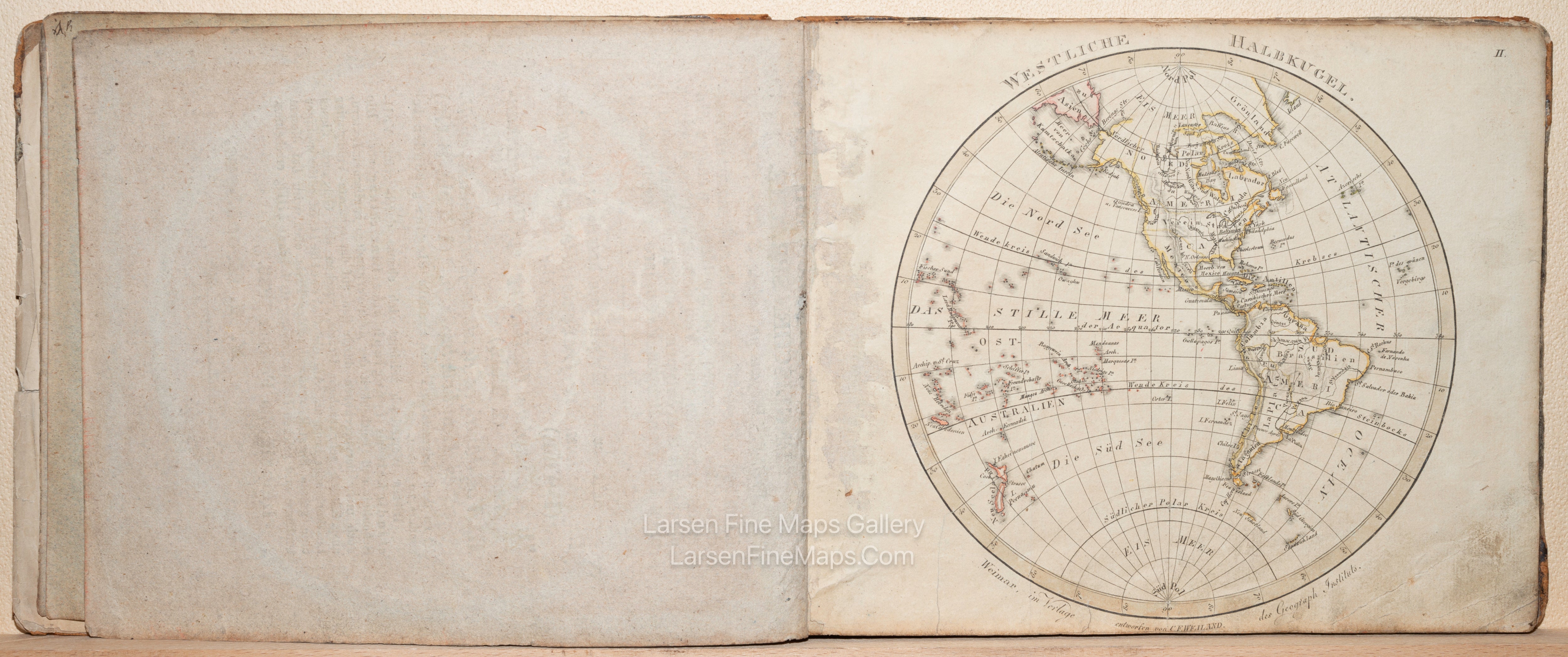
An antique German world atlas. The Allgemeiner Atlas, with cartography by C. F. Weiland, was published in 1825 in Weimar by Im Verlage des Geographischen Instituts. The atlas is bound in a brown hardboard with leatherette bindings, with the owner’s name in calligraphic script in brown ink to the front. The title page features an index of the thirty maps included. The maps are on light ecru laid paper with lettering executed in script and shadowed form and with the maps outlined in colors.
FULL TITLE
MAPMAKER/CARTOGRAPHER/AUTHOR
PUBLISHER
PUBLICATION
DIMENSIONS (Inches)
CONDITION
Choose options
DESCRIPTION
FULL TITLE
MAPMAKER/CARTOGRAPHER/AUTHOR
PUBLISHER
PUBLICATION
DIMENSIONS (Inches)
CONDITION
DESCRIPTION
FULL TITLE
MAPMAKER/CARTOGRAPHER/AUTHOR
PUBLISHER
PUBLICATION
DIMENSIONS (Inches)
CONDITION