YEAR PUBLISHED: 1855
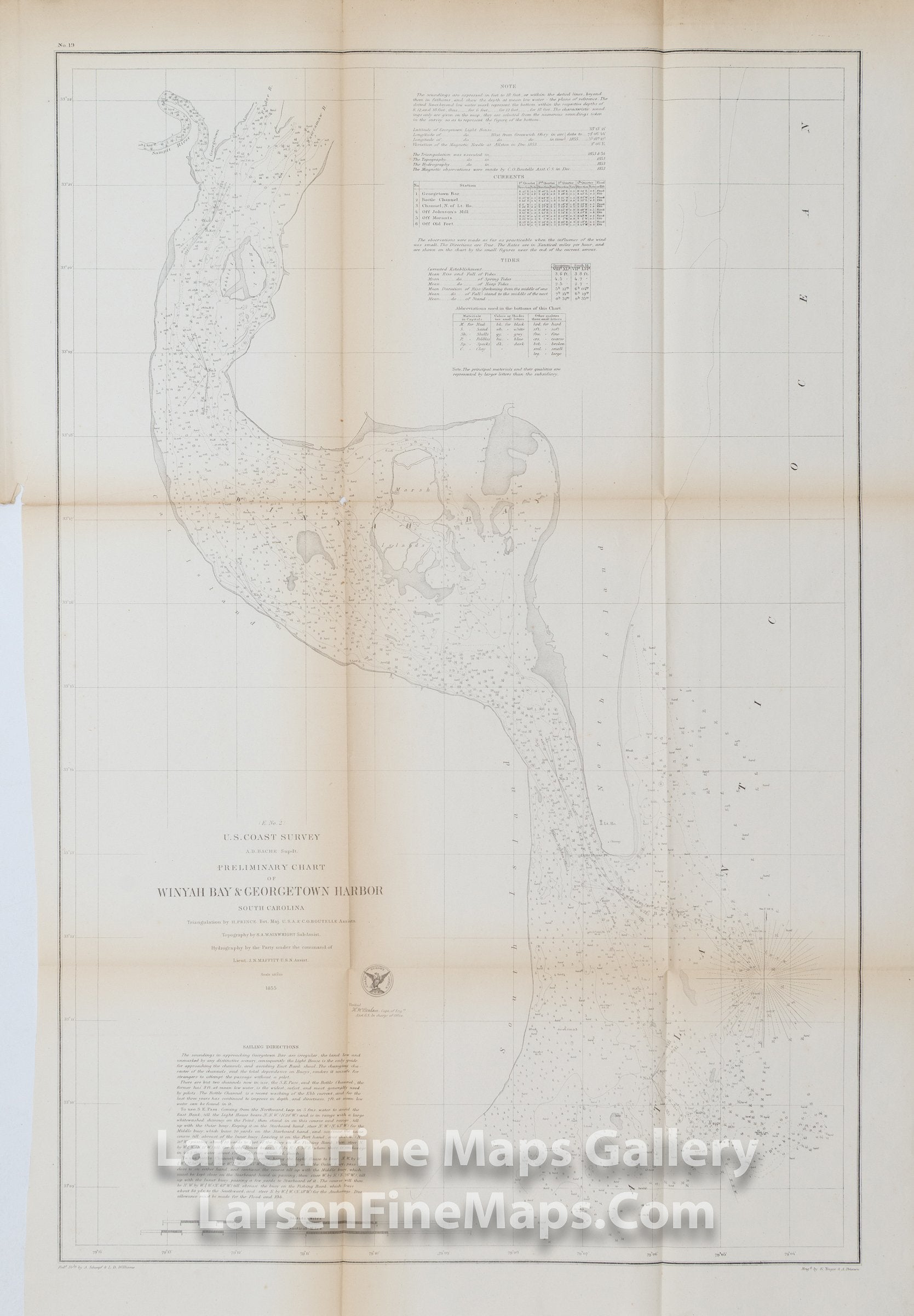
Preliminary Chart of Winyah Bay & Georgetown Harbor South Carolina
DESCRIPTION
A striking chart of Winyah Bay & Georgetown Harbor, South Carolina. This is a preliminary chart showing numerous depth soundings, hazards, and aids to navigation, passes, channels, bouys, shoals, currents, tides, and a lighthouse. Detailed sailing directions and bottom characteristics are also given.
FULL TITLE
MAPMAKER/CARTOGRAPHER/AUTHOR
PUBLISHER
PUBLICATION
DIMENSIONS (Inches)
CONDITION
Choose options
DESCRIPTION
FULL TITLE
MAPMAKER/CARTOGRAPHER/AUTHOR
PUBLISHER
PUBLICATION
DIMENSIONS (Inches)
CONDITION
DESCRIPTION
FULL TITLE
MAPMAKER/CARTOGRAPHER/AUTHOR
PUBLISHER
PUBLICATION
DIMENSIONS (Inches)
CONDITION