YEAR PUBLISHED: 1879
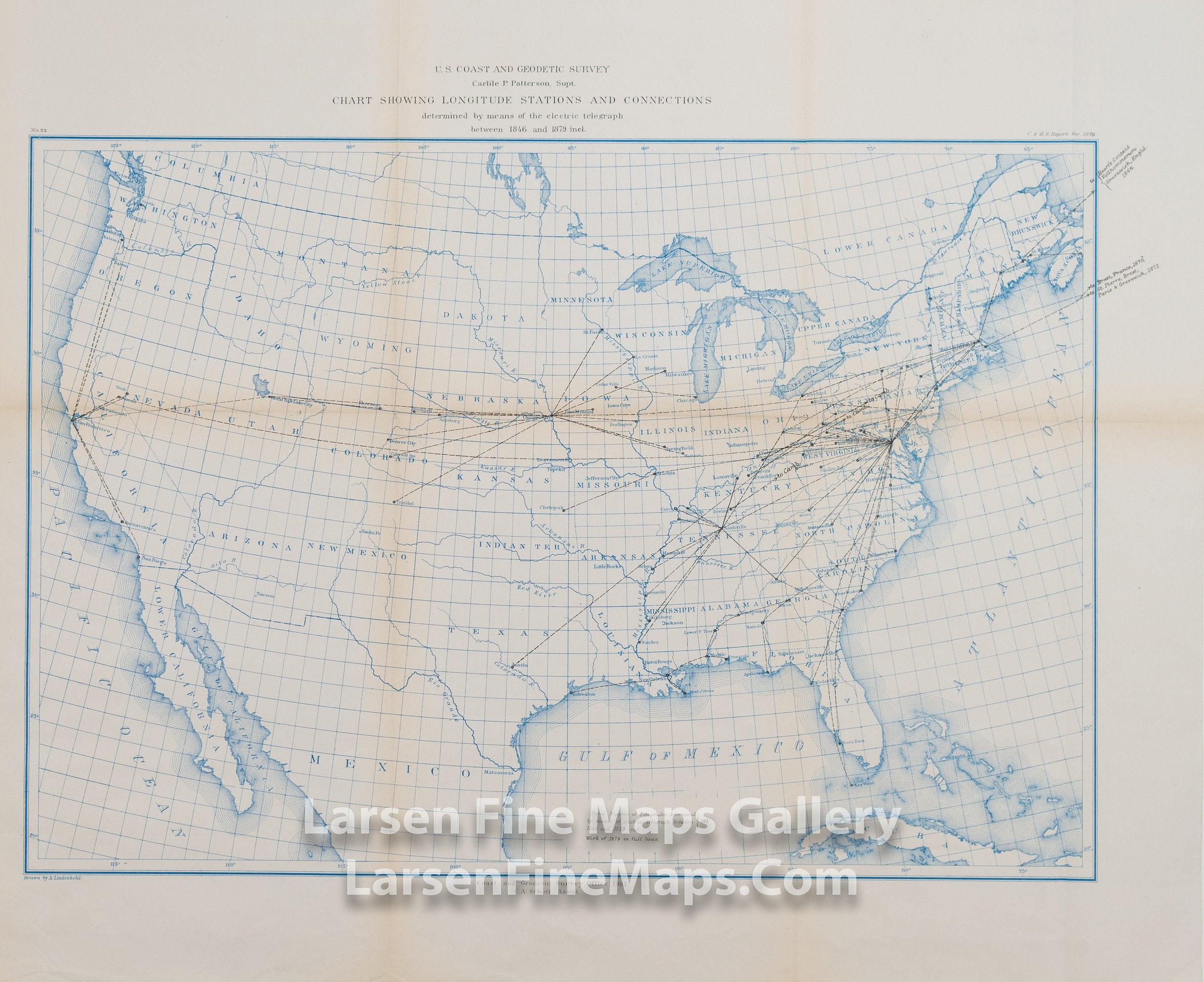
Map Showing the Longitude Stations and Connections Determined by means of the Electric Telegraph between 1846 and 1879
DESCRIPTION
An interesting map of the entire United States in blue coloring showing the primary rivers, state boundaries, and longitude stations and connections as determined by means of the electric telegraph.
FULL TITLE
MAPMAKER/CARTOGRAPHER/AUTHOR
PUBLISHER
PUBLICATION
DIMENSIONS (Inches)
CONDITION
Choose options

DESCRIPTION
FULL TITLE
MAPMAKER/CARTOGRAPHER/AUTHOR
PUBLISHER
PUBLICATION
DIMENSIONS (Inches)
CONDITION
DESCRIPTION
FULL TITLE
MAPMAKER/CARTOGRAPHER/AUTHOR
PUBLISHER
PUBLICATION
DIMENSIONS (Inches)
CONDITION