YEAR PUBLISHED: 1879
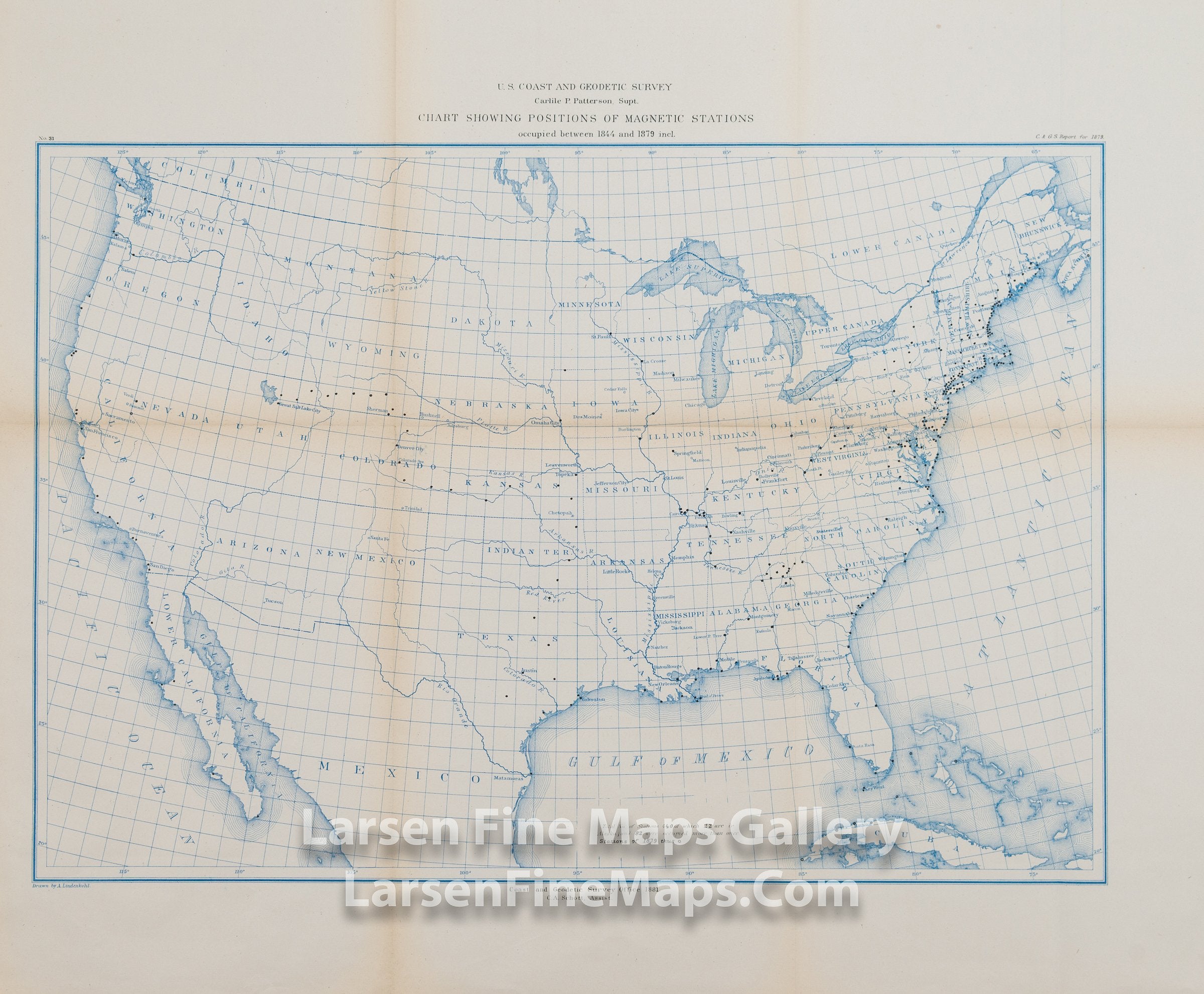
Map Showing the Positions of Magnetic Stations Occupied between 1844 and 1879
DESCRIPTION
An interesting map of the entire United States in blue coloring showing the primary rivers, state boundaries, and magnetic stations occupied between 1844 and 1879.
FULL TITLE
MAPMAKER/CARTOGRAPHER/AUTHOR
PUBLISHER
PUBLICATION
DIMENSIONS (Inches)
CONDITION
Choose options
DESCRIPTION
FULL TITLE
MAPMAKER/CARTOGRAPHER/AUTHOR
PUBLISHER
PUBLICATION
DIMENSIONS (Inches)
CONDITION
DESCRIPTION
FULL TITLE
MAPMAKER/CARTOGRAPHER/AUTHOR
PUBLISHER
PUBLICATION
DIMENSIONS (Inches)
CONDITION