YEAR PUBLISHED: 1853
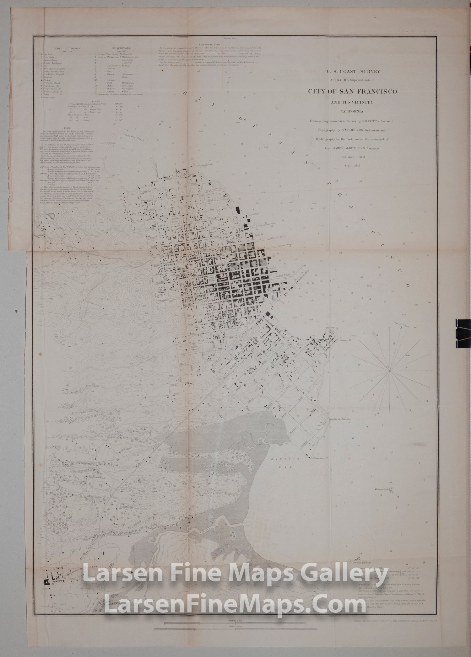
City of San Francisco and Vicinity
DESCRIPTION
Very nice early chart of the City of San Francisco and Vicinity. Shows great detail of the buildings, streets, piers, roads, topography and nearby towns. Includes detailed depth soundings, bottom conditions, points, rocks, explanatory notes, tides, reserviors, and building names. Topography is shown with contour lines which is unusual for the time period.
Folded map on thin paper.
Folded map on thin paper.
FULL TITLE
MAPMAKER/CARTOGRAPHER/AUTHOR
PUBLISHER
PUBLICATION
DIMENSIONS (Inches)
CONDITION
Choose options
DESCRIPTION
FULL TITLE
MAPMAKER/CARTOGRAPHER/AUTHOR
PUBLISHER
PUBLICATION
DIMENSIONS (Inches)
CONDITION
DESCRIPTION
FULL TITLE
MAPMAKER/CARTOGRAPHER/AUTHOR
PUBLISHER
PUBLICATION
DIMENSIONS (Inches)
CONDITION