YEAR PUBLISHED: 1852
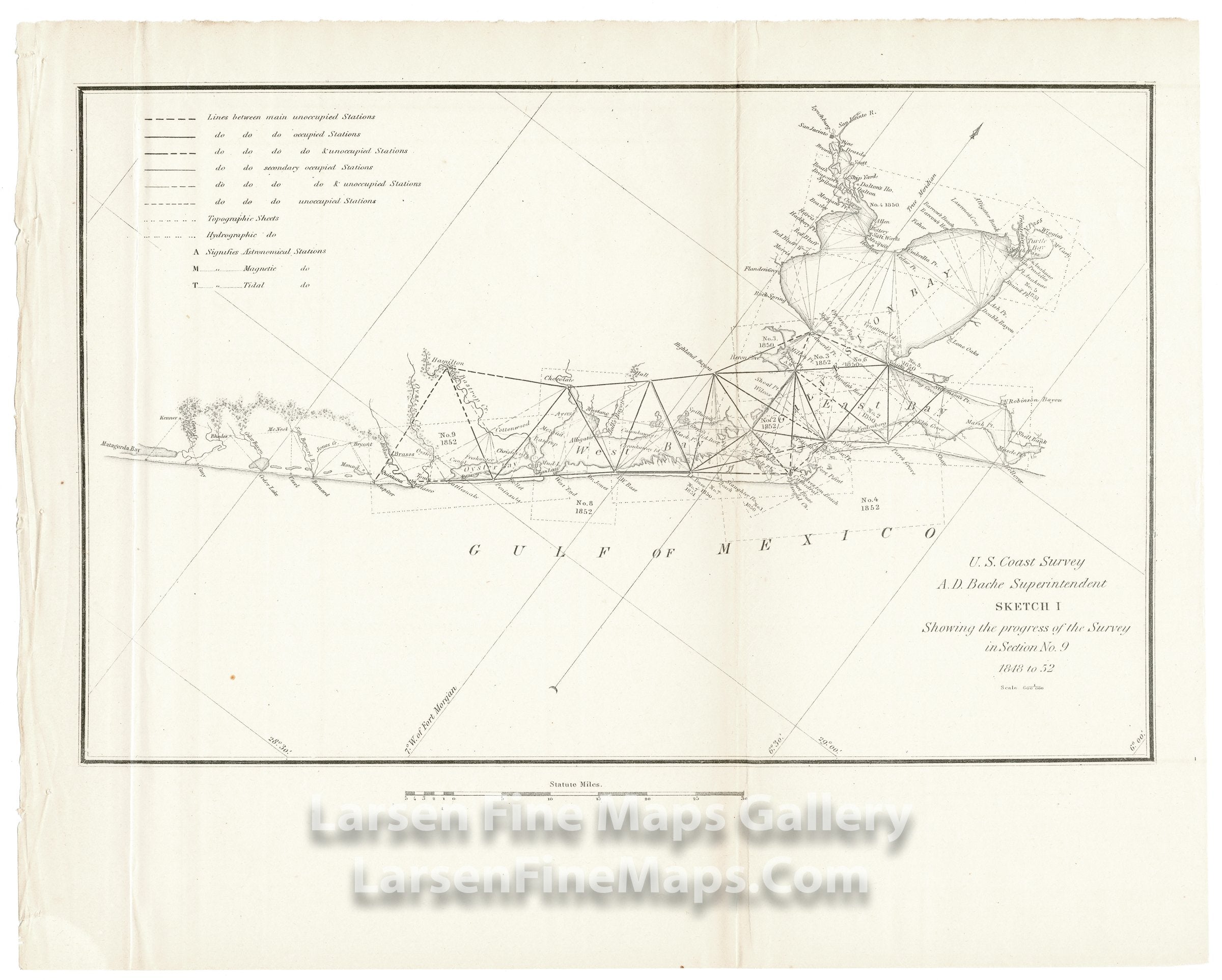
Sketch I Showing the Progress of the Survey in Section No. 9 1848 to 1852
DESCRIPTION
Triangulation chart of Galveston Bay with coastal details from Oyster Bay, West Bay through Galveston Bay and on to East Bay. Many triangulation points and places are called out and noted on the map.
FULL TITLE
MAPMAKER/CARTOGRAPHER/AUTHOR
PUBLISHER
PUBLICATION
DIMENSIONS (Inches)
CONDITION
Choose options
DESCRIPTION
FULL TITLE
MAPMAKER/CARTOGRAPHER/AUTHOR
PUBLISHER
PUBLICATION
DIMENSIONS (Inches)
CONDITION
DESCRIPTION
FULL TITLE
MAPMAKER/CARTOGRAPHER/AUTHOR
PUBLISHER
PUBLICATION
DIMENSIONS (Inches)
CONDITION