
YEAR PUBLISHED:1787
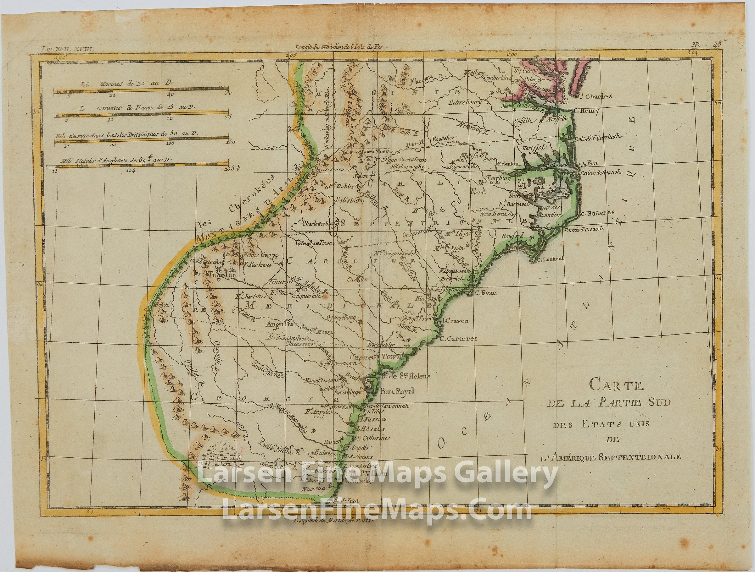
Carte De La Partie Sud Des Etats Unis De L'Amerique Septentrionale
DESCRIPTION
A nicely detailed map of the southern United States showing the Carolinas, Georgia, and Virginia. Many place names, ports, navigational aids and waterways, Indian tribes, forts, depicted. Relief is shown pictorially. Hand-colored on laid paper with chain lines and watermarks.
FULL TITLE
MAPMAKER/CARTOGRAPHER/AUTHOR
PUBLISHER
PUBLICATION
DIMENSIONS (Inches)
CONDITION
Choose options
DESCRIPTION
FULL TITLE
MAPMAKER/CARTOGRAPHER/AUTHOR
PUBLISHER
PUBLICATION
DIMENSIONS (Inches)
CONDITION
DESCRIPTION
FULL TITLE
MAPMAKER/CARTOGRAPHER/AUTHOR
PUBLISHER
PUBLICATION
DIMENSIONS (Inches)
CONDITION