
YEAR PUBLISHED:1787
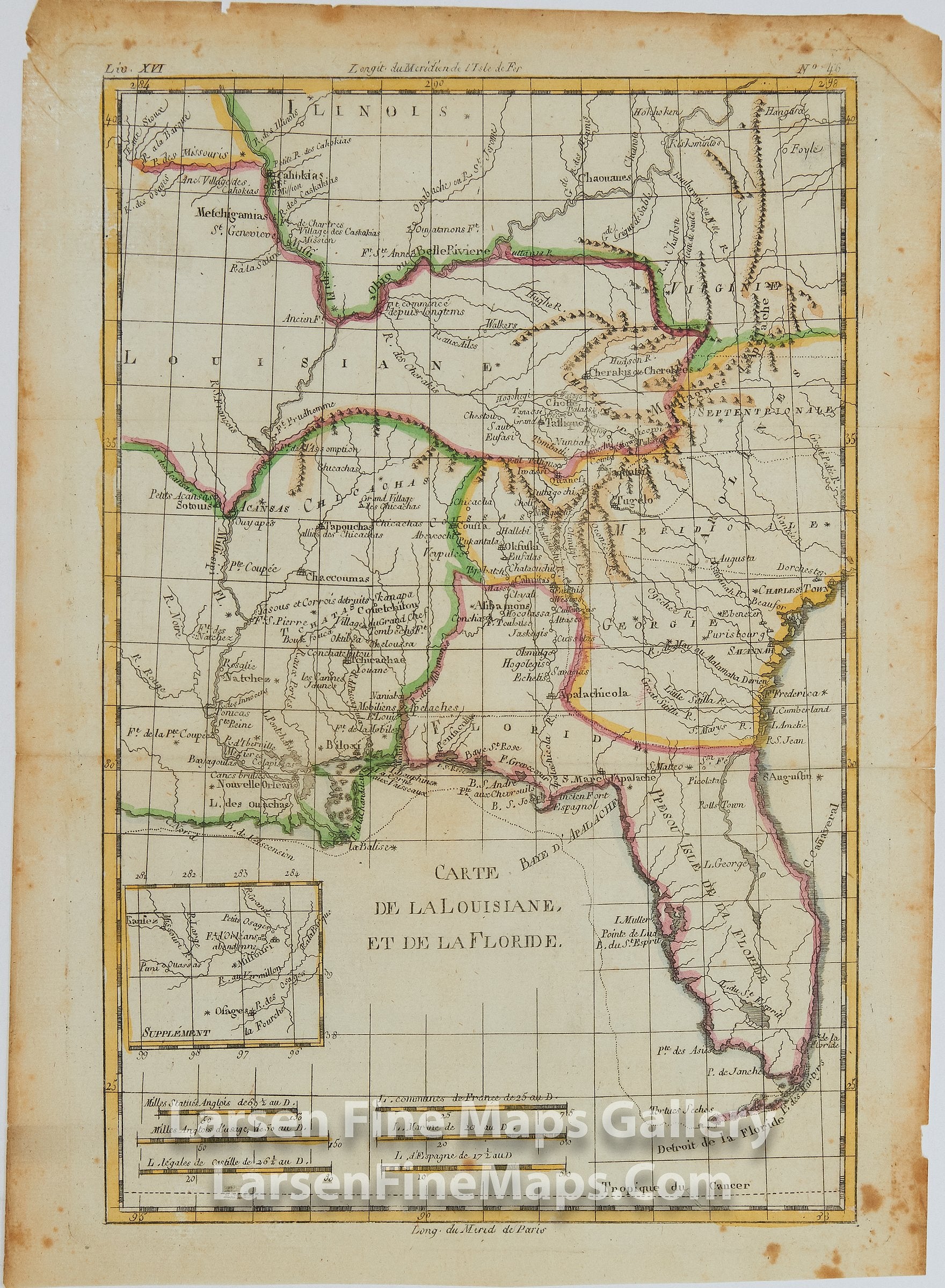
Carte De La Louisiane, Et De La Floride
DESCRIPTION
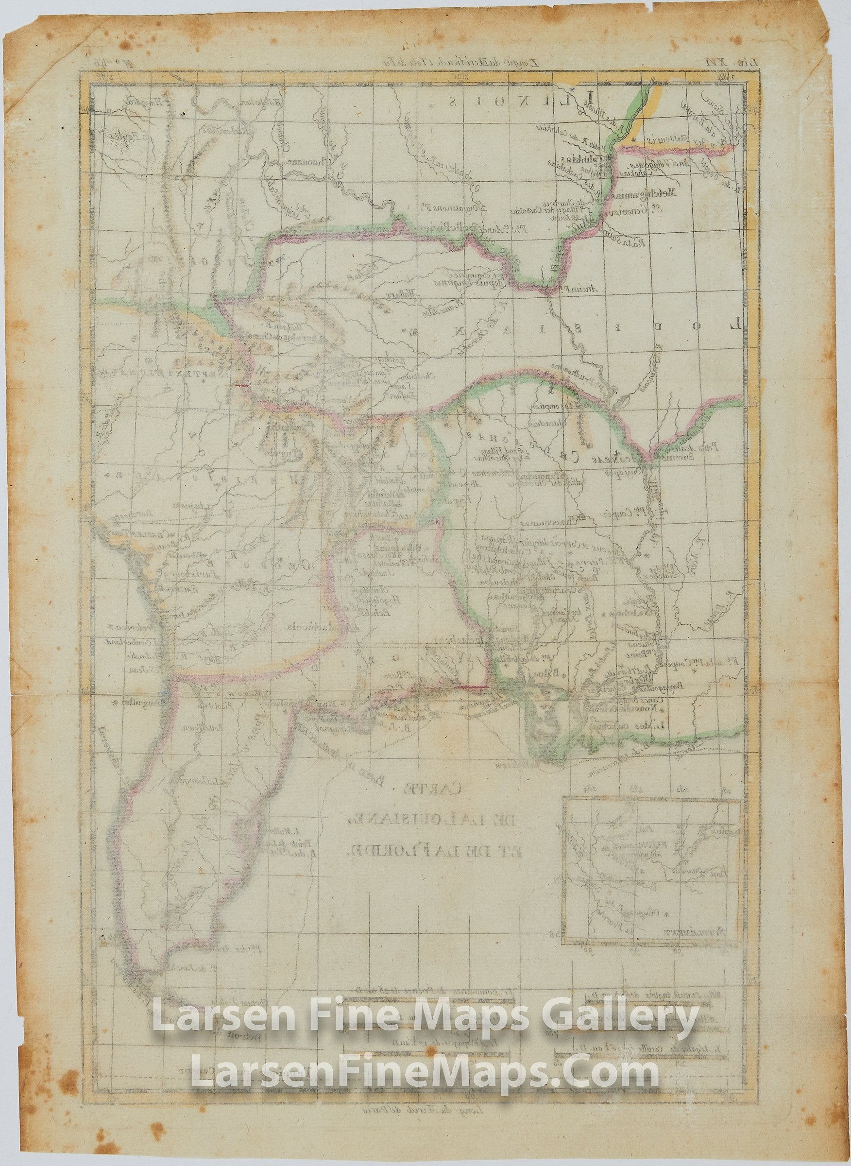
A nicely detailed map of southern United States showing the Mississippi River Valley, Louisiana. Georgia, Florida, Virginia, Carolinas including a supplement inset of Fort Orleans location on the Missouri River. Many place names, ports, navigational aids and waterways, Indian tribes, forts, depicted. Relief is shown pictorially. Hand-colored on laid paper with chain lines and watermarks.
FULL TITLE
MAPMAKER/CARTOGRAPHER/AUTHOR
PUBLISHER
PUBLICATION
DIMENSIONS (Inches)
CONDITION
Choose options
DESCRIPTION
FULL TITLE
MAPMAKER/CARTOGRAPHER/AUTHOR
PUBLISHER
PUBLICATION
DIMENSIONS (Inches)
CONDITION
DESCRIPTION
FULL TITLE
MAPMAKER/CARTOGRAPHER/AUTHOR
PUBLISHER
PUBLICATION
DIMENSIONS (Inches)
CONDITION