YEAR PUBLISHED: 1853
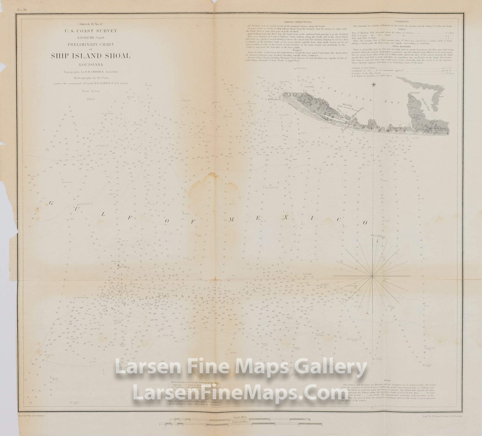
Preliminary Chart of Ship Island Shoal Louisiana
DESCRIPTION
Chart of Ship Island Shoal and Isle Derniere. Gives nice details and navigational aid past Isle Derniere (Ast Island) and around to Caillon Bay. Shows Ast Station, Village Harbor and the Hotel there. Extensive depths soundings, isolines and bottom conditions along with sailing directions, tidal information and notes on shoals and lighthouses.
FULL TITLE
MAPMAKER/CARTOGRAPHER/AUTHOR
PUBLISHER
PUBLICATION
DIMENSIONS (Inches)
CONDITION
Choose options
DESCRIPTION
FULL TITLE
MAPMAKER/CARTOGRAPHER/AUTHOR
PUBLISHER
PUBLICATION
DIMENSIONS (Inches)
CONDITION
DESCRIPTION
FULL TITLE
MAPMAKER/CARTOGRAPHER/AUTHOR
PUBLISHER
PUBLICATION
DIMENSIONS (Inches)
CONDITION