
YEAR PUBLISHED: 1855
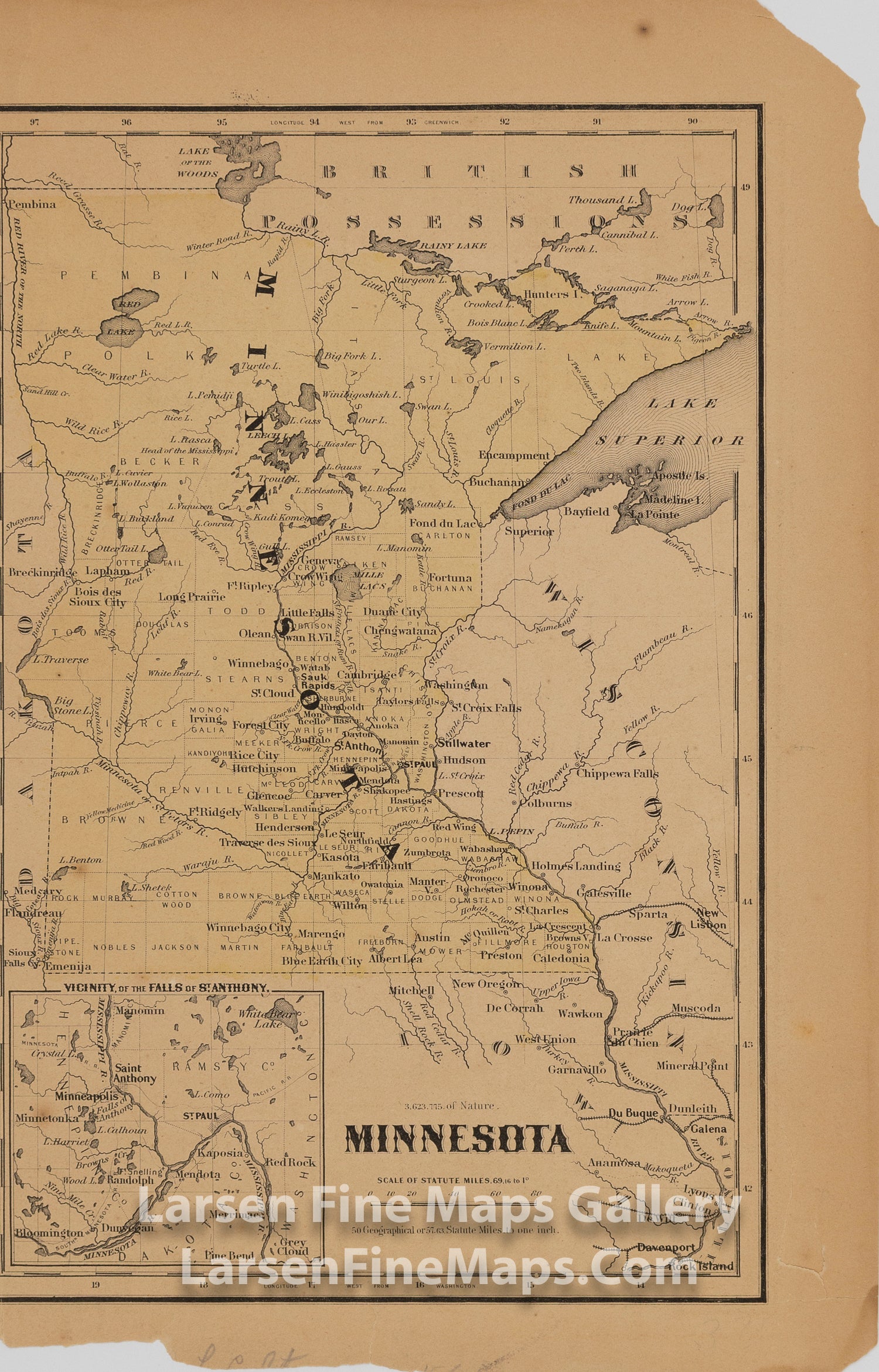
Minnesota; Vicinity of the Falls of St. Anthony
DESCRIPTION
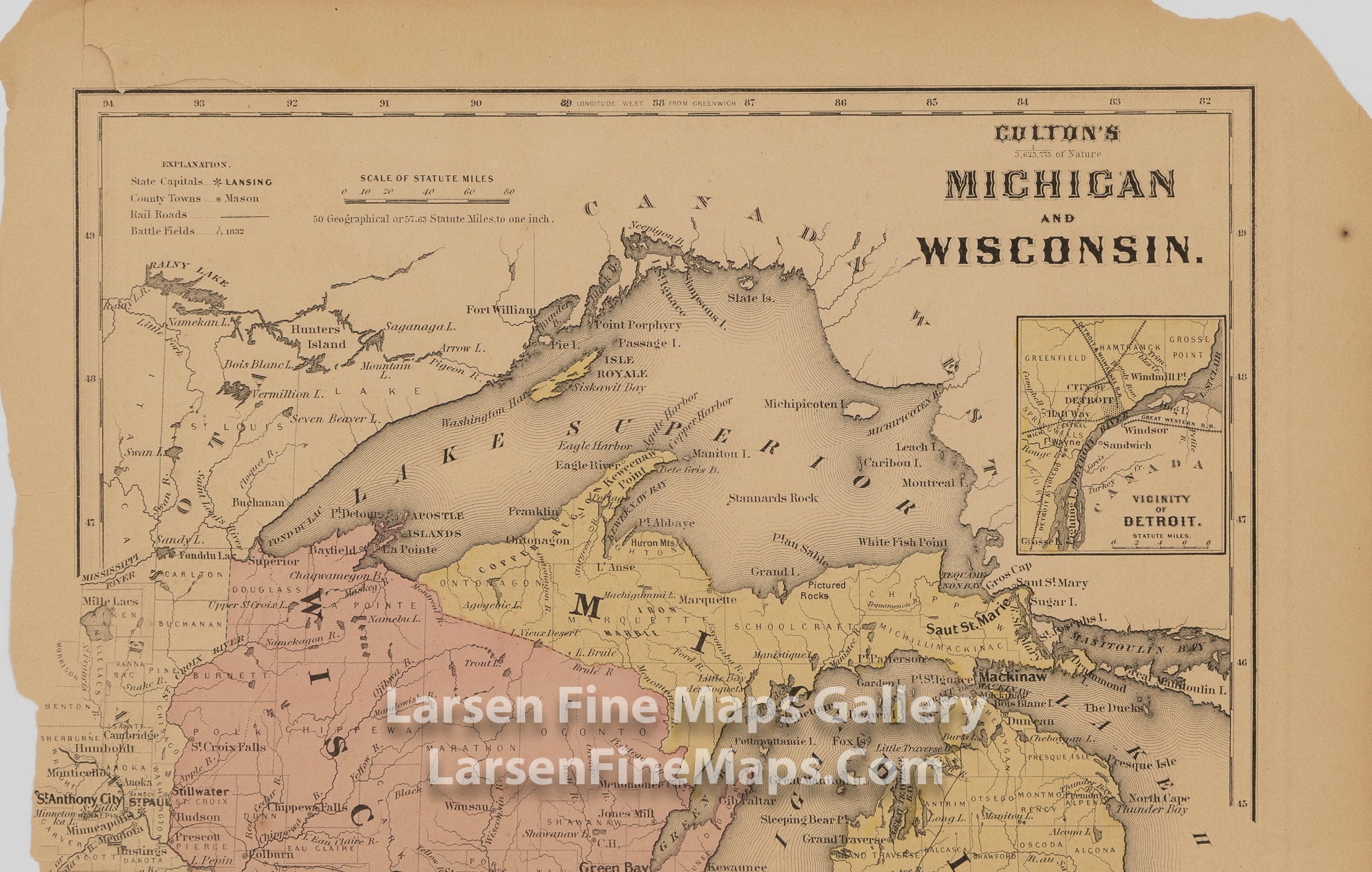
This is the first edition of Colton's map of Minnesota. The map has been cut from the Atlas page that originally had Nebraska and Kansas on it. Shows the counties, rivers, water bodies and place names in the area. Includes a nice inset map of the Vicinity of the Falls of St. Anthony.
FULL TITLE
MAPMAKER/CARTOGRAPHER/AUTHOR
PUBLISHER
PUBLICATION
DIMENSIONS (Inches)
CONDITION
Choose options
DESCRIPTION
FULL TITLE
MAPMAKER/CARTOGRAPHER/AUTHOR
PUBLISHER
PUBLICATION
DIMENSIONS (Inches)
CONDITION
DESCRIPTION
FULL TITLE
MAPMAKER/CARTOGRAPHER/AUTHOR
PUBLISHER
PUBLICATION
DIMENSIONS (Inches)
CONDITION