YEAR PUBLISHED: 1831
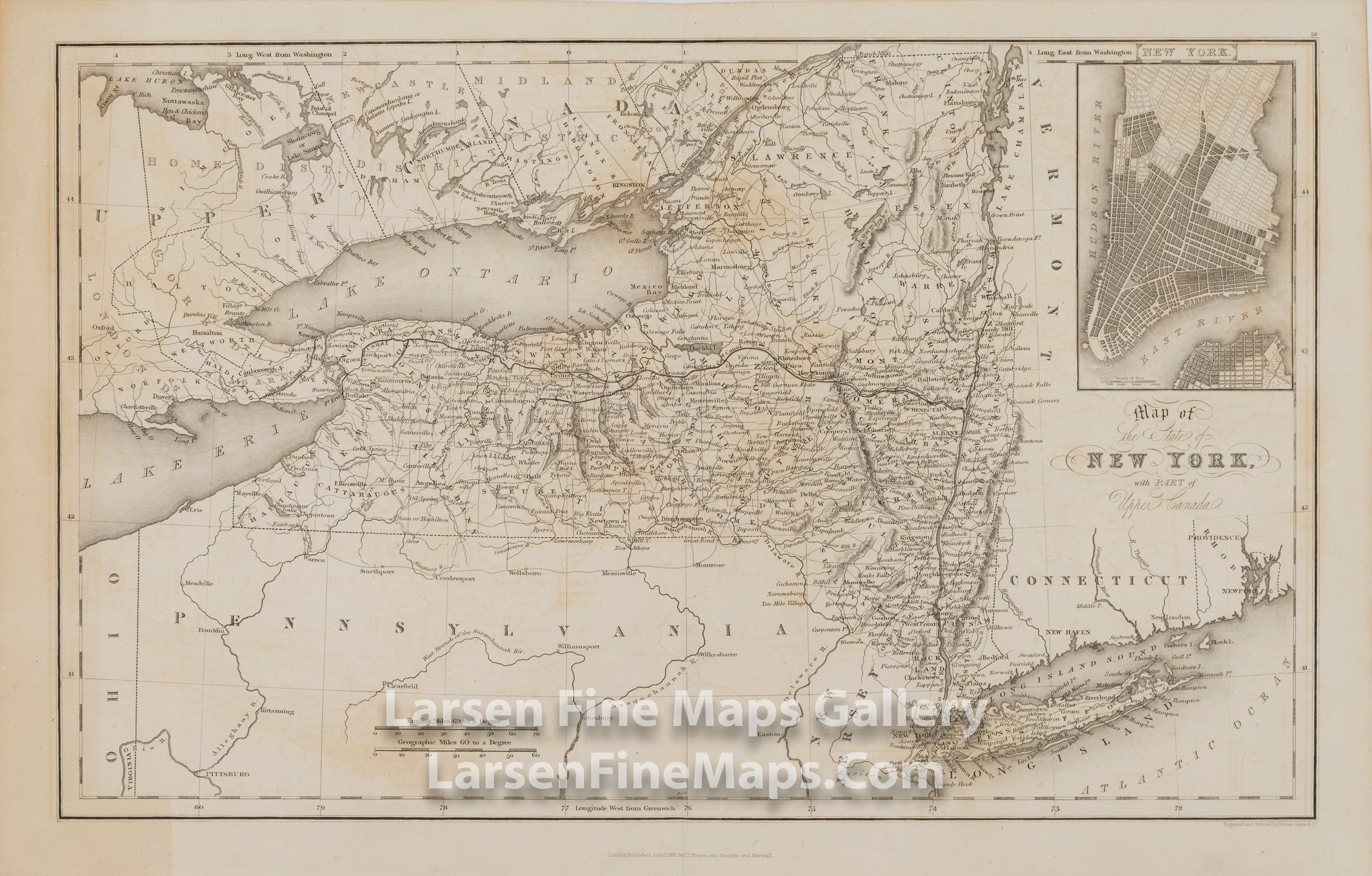
Map of the state of New York, with part of Upper Canada
DESCRIPTION
A nicely detailed map of the State of New York showing cities, rivers, lakes, and counties. An inset in the upper right showing the southern part of Manhattan shows the Hudson and East River, layout of the streets but no labels or annotation. Relief shown by hachures. The map also shows the newly built Erie Canal (6 years previous). From eriecanalway.org: "Built between 1817 and 1825, the original Erie Canal traversed 363 miles from Albany to Buffalo. It was the longest artificial waterway and the greatest public works project in North America. The canal put New York on the map as the Empire StateÑthe leader in population, industry, and economic strength."
FULL TITLE
MAPMAKER/CARTOGRAPHER/AUTHOR
PUBLISHER
PUBLICATION
DIMENSIONS (Inches)
CONDITION
Choose options
DESCRIPTION
FULL TITLE
MAPMAKER/CARTOGRAPHER/AUTHOR
PUBLISHER
PUBLICATION
DIMENSIONS (Inches)
CONDITION
DESCRIPTION
FULL TITLE
MAPMAKER/CARTOGRAPHER/AUTHOR
PUBLISHER
PUBLICATION
DIMENSIONS (Inches)
CONDITION