
YEAR PUBLISHED: 1875
San Francisco
DESCRIPTION
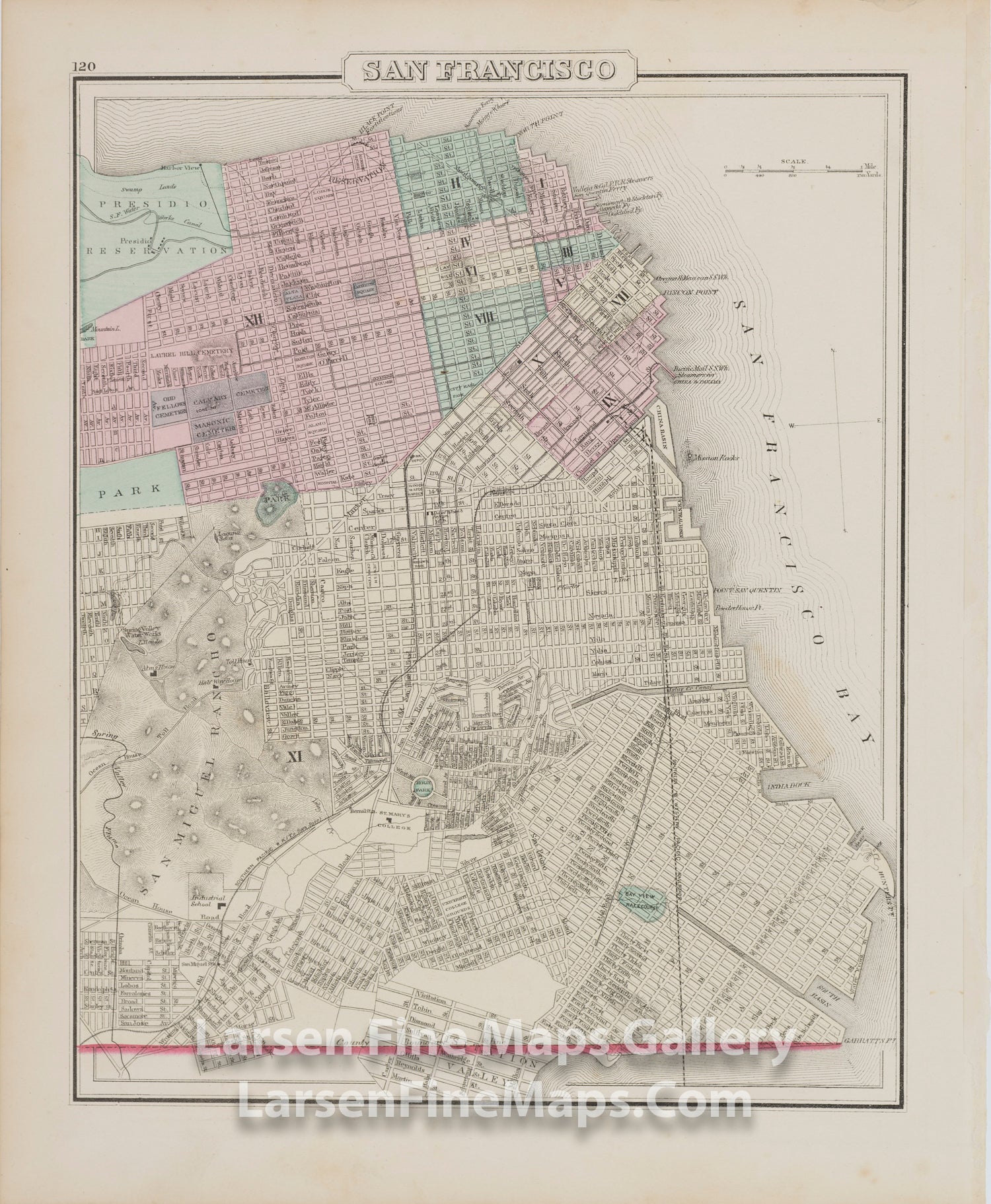
Detailed map of San Francisco, hand colored by wards and showing streets, docks, wharfs, railroad lines, street car lines, parks and many other details. Extends from Presidio Reservation to Visitation Valley.
Many interesting early landmarks including the Ocean House Toll Road, Bay View Race Course, Industrial School, etc. The earliest full page map of the city of San Francisco to appear in a commercial atlas.
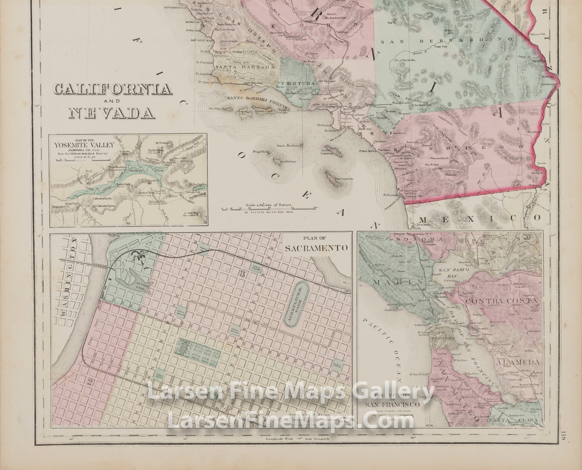
Partial map of California on verso with inset of Yosemite Valley, Plan of Sacramento, and The Vicinity of San Francisco.
FULL TITLE
MAPMAKER/CARTOGRAPHER/AUTHOR
PUBLISHER
PUBLICATION
DIMENSIONS (Inches)
CONDITION
Choose options
DESCRIPTION
FULL TITLE
MAPMAKER/CARTOGRAPHER/AUTHOR
PUBLISHER
PUBLICATION
DIMENSIONS (Inches)
CONDITION
DESCRIPTION
FULL TITLE
MAPMAKER/CARTOGRAPHER/AUTHOR
PUBLISHER
PUBLICATION
DIMENSIONS (Inches)
CONDITION