YEAR PUBLISHED: 1855
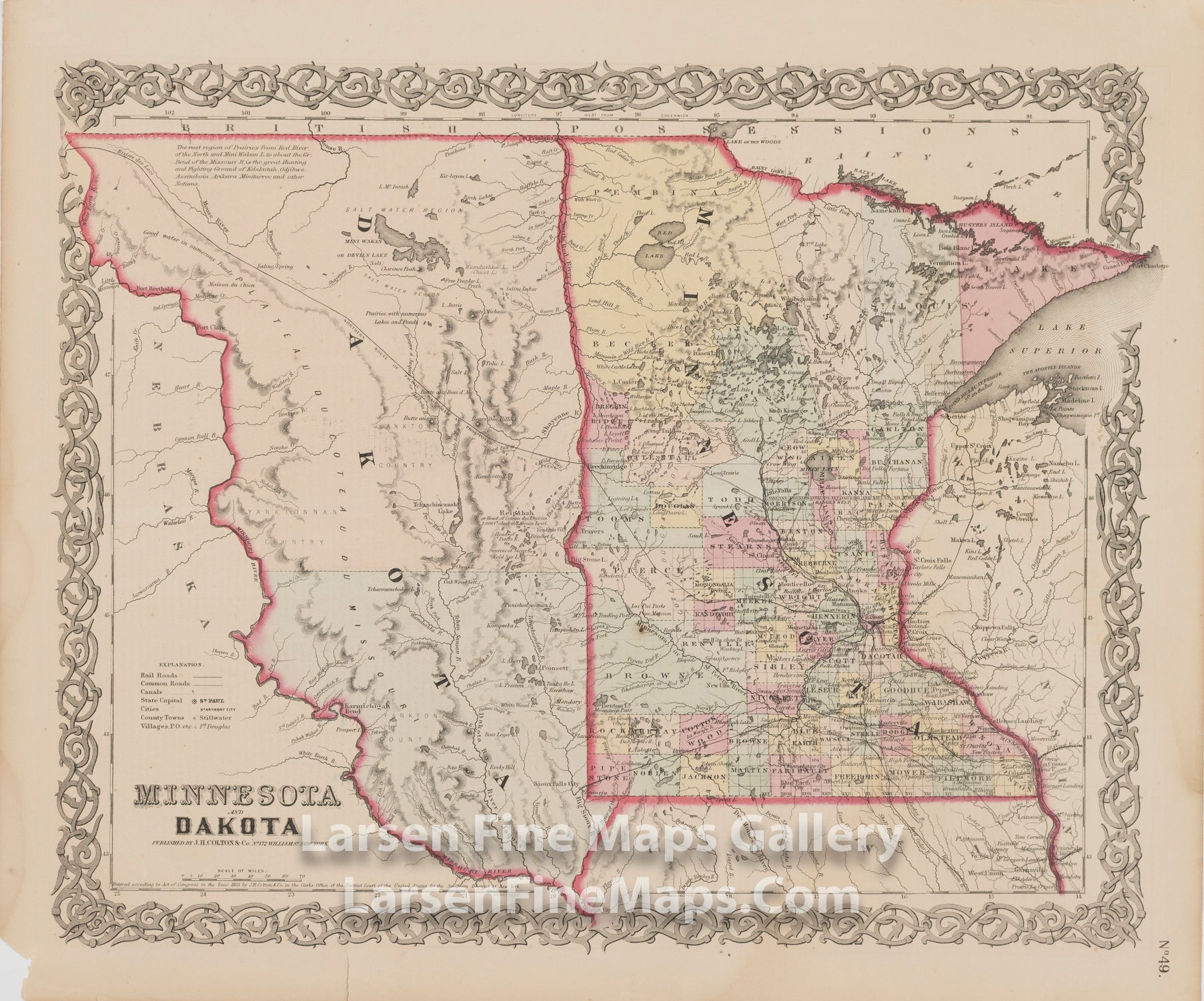
Minnesota and Dakota
DESCRIPTION
Very nice copy of the first edition of J.H. Colton's early map of Minnesota and Dakota. This map shows very few counties in Northern Minnesota at this point in time and only two in all of Dakota. Shows early proposed railroad lines, Indian information, note on the prairies, etc. Early township surveys in Minnesota are shown.
Descriptions of Nebraska, Kansas, Indian, Etc., Territories on verso.
FULL TITLE
MAPMAKER/CARTOGRAPHER/AUTHOR
PUBLISHER
PUBLICATION
DIMENSIONS (Inches)
CONDITION
Choose options
DESCRIPTION
FULL TITLE
MAPMAKER/CARTOGRAPHER/AUTHOR
PUBLISHER
PUBLICATION
DIMENSIONS (Inches)
CONDITION
DESCRIPTION
FULL TITLE
MAPMAKER/CARTOGRAPHER/AUTHOR
PUBLISHER
PUBLICATION
DIMENSIONS (Inches)
CONDITION