YEAR PUBLISHED:1784
Isle de Noel
DESCRIPTION
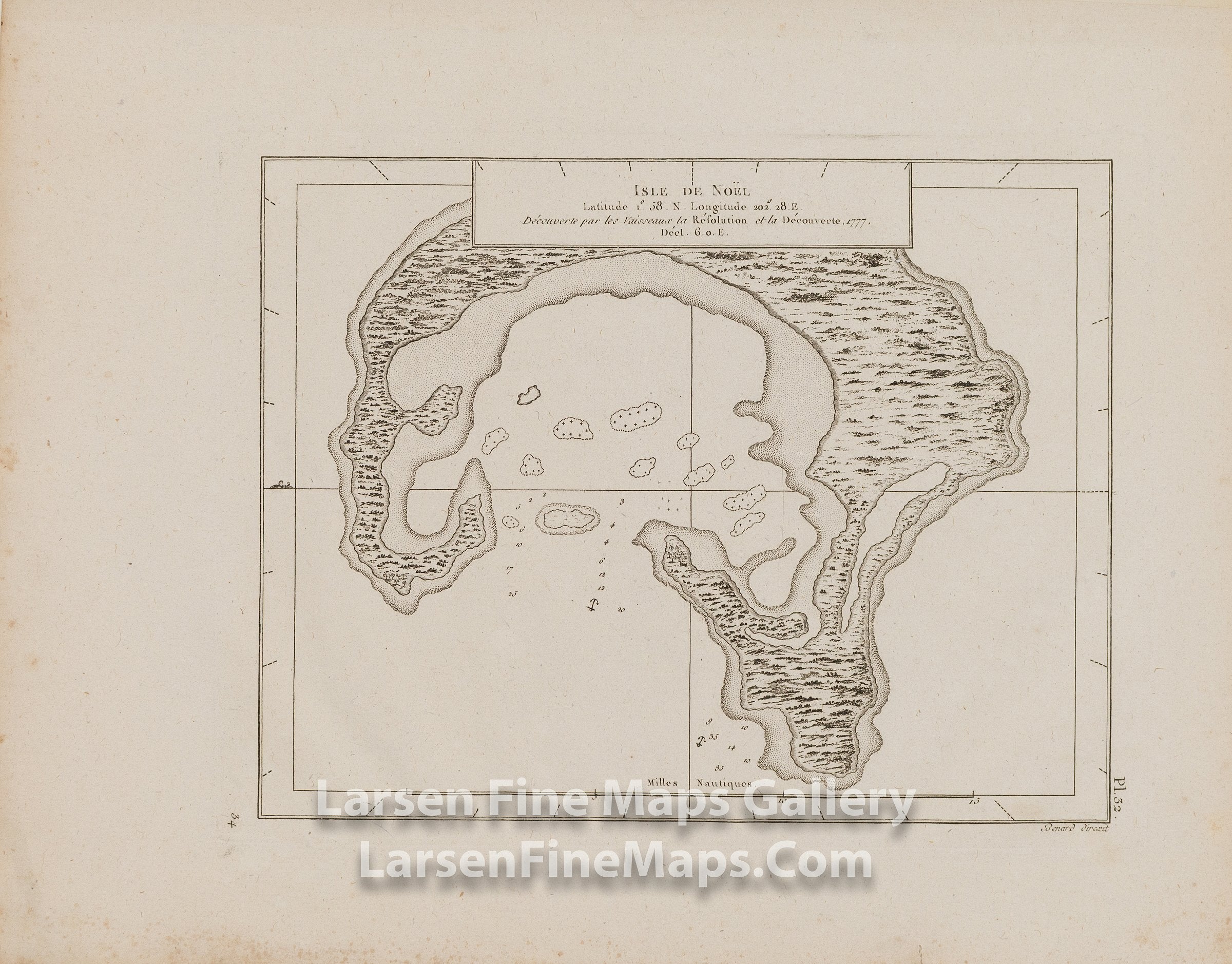
Map of Isle de Noel (Christmas Island, Kiritimati). Discovered by the ships Resolution and Discovery by Captain James Cook on Christmas Eve 1777. Map from his 3rd voyage. Shows anchorages, a few soundings, some reefs, and a scale of nautical miles.
Cook discovered the island on Dec. 24th and named it Christmas Island.
FULL TITLE
MAPMAKER/CARTOGRAPHER/AUTHOR
PUBLISHER
PUBLICATION
DIMENSIONS (Inches)
CONDITION
Choose options
DESCRIPTION
FULL TITLE
MAPMAKER/CARTOGRAPHER/AUTHOR
PUBLISHER
PUBLICATION
DIMENSIONS (Inches)
CONDITION
DESCRIPTION
FULL TITLE
MAPMAKER/CARTOGRAPHER/AUTHOR
PUBLISHER
PUBLICATION
DIMENSIONS (Inches)
CONDITION