YEAR PUBLISHED: 1879
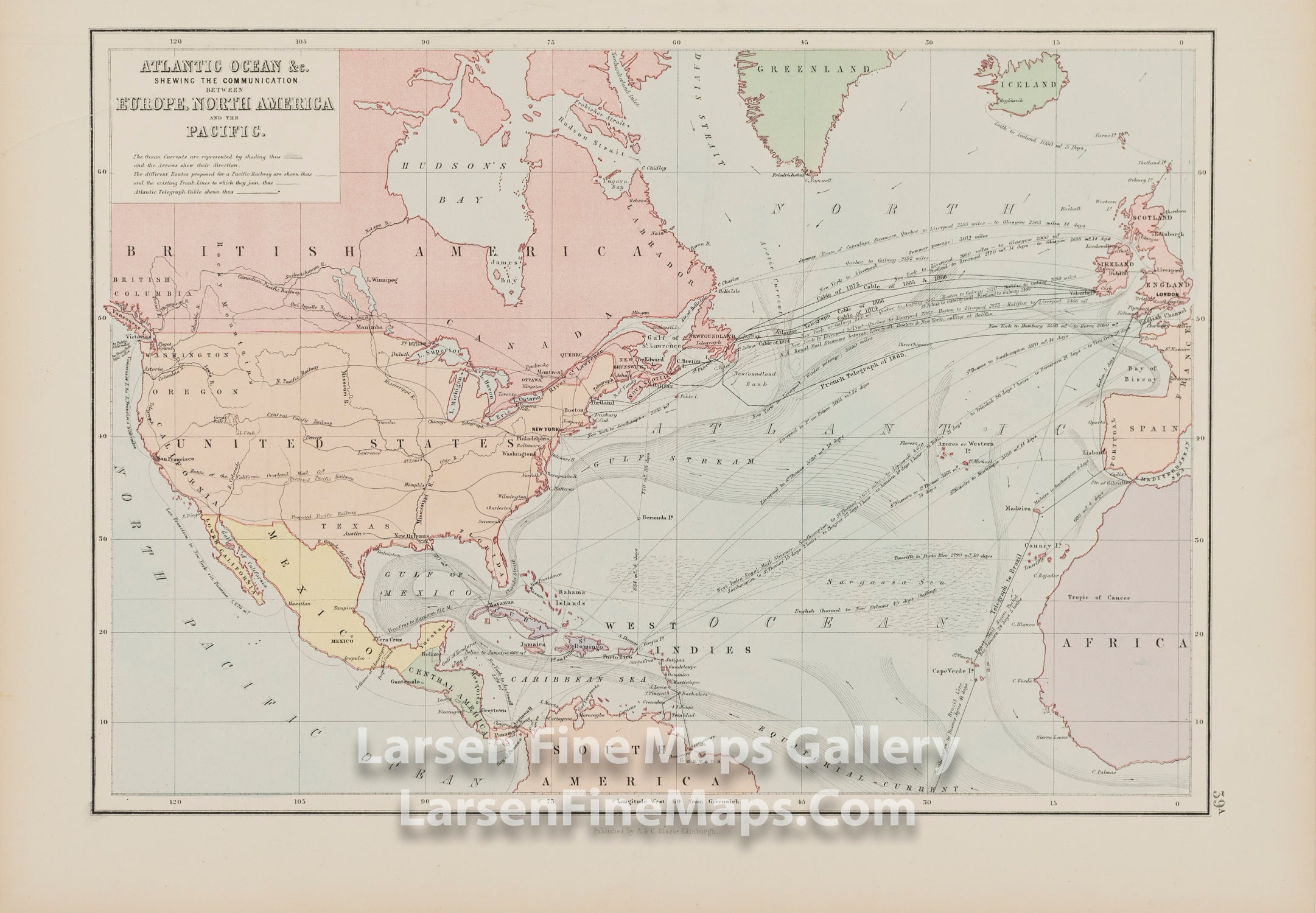
Atlantic Ocean &c. : Shewing the Communication between Europe, North America and the Pacific
DESCRIPTION
Colored map, showing the Atlantic Ocean between Europe, North America and the Pacific. Included are British America, United States, Mexico, the northern part of South America, Greenland, Iceland, Europe and Africa. Also depicted are the ocean currents in the Atlantic Ocean, telegraph cable routes and dates laid, mail steamer routes, routes and distances and durations of voyages, proposed railway routes in the United States.
FULL TITLE
MAPMAKER/CARTOGRAPHER/AUTHOR
PUBLISHER
PUBLICATION
DIMENSIONS (Inches)
CONDITION
Choose options

DESCRIPTION
FULL TITLE
MAPMAKER/CARTOGRAPHER/AUTHOR
PUBLISHER
PUBLICATION
DIMENSIONS (Inches)
CONDITION
DESCRIPTION
FULL TITLE
MAPMAKER/CARTOGRAPHER/AUTHOR
PUBLISHER
PUBLICATION
DIMENSIONS (Inches)
CONDITION