YEAR PUBLISHED: 1800
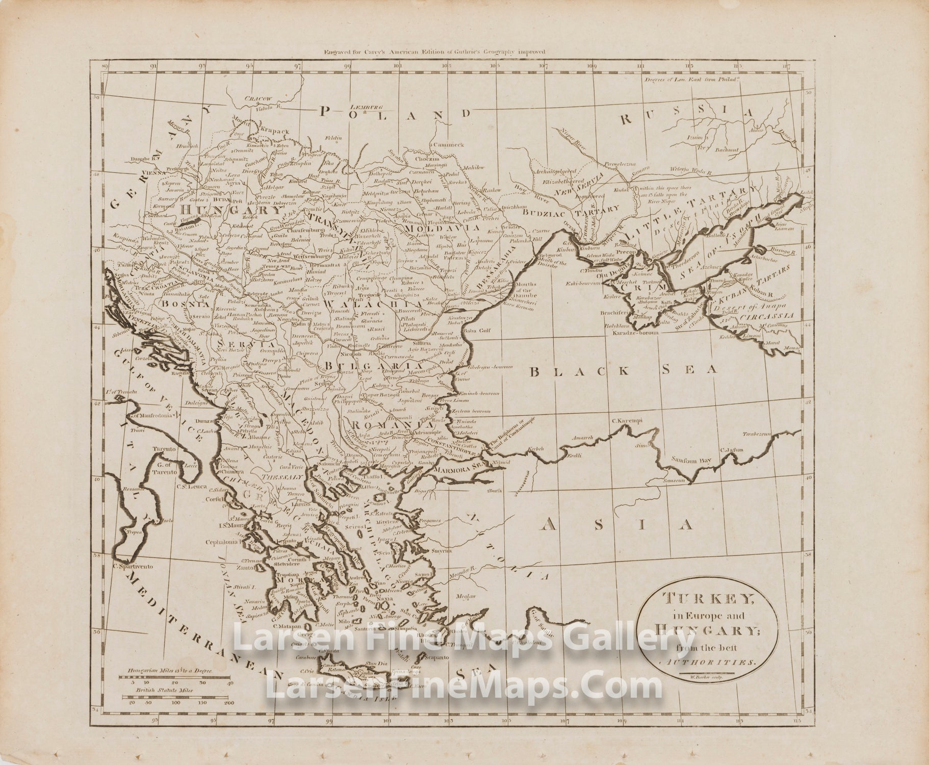
Turkey in Europe and Hungary; from the best Authorities
DESCRIPTION
This is a nice map showing places, regions, and coastline for the region from Hungary to Greece and Morea, and to a portion of Turkey. Shows Romania, Bulgaria, Serbia, Macedonia, Bosnia, Croatia, Moldavia, Morea, Transylvania, Little Tartary, and the Black Sea.
Engraved for Carey's American Edition of Guthrie's Geography Improved.
Antique uncolored map of Turkey, Greece, the Balkans, and Hungary, with some of Ukraine, from an edition of Carey's General Atlas. There were several editions of Carey's General Atlas that uses the maps from the 1795 American Atlas and 1795 General Atlas For Guthrie's Geography essentially unchanged. This map includes city names, some topographical notes, and minimal illustrated topographical detail.
This map c. 1795-1811.
FULL TITLE
MAPMAKER/CARTOGRAPHER/AUTHOR
PUBLISHER
PUBLICATION
DIMENSIONS (Inches)
CONDITION
Choose options
DESCRIPTION
FULL TITLE
MAPMAKER/CARTOGRAPHER/AUTHOR
PUBLISHER
PUBLICATION
DIMENSIONS (Inches)
CONDITION
DESCRIPTION
FULL TITLE
MAPMAKER/CARTOGRAPHER/AUTHOR
PUBLISHER
PUBLICATION
DIMENSIONS (Inches)
CONDITION