YEAR PUBLISHED: 1852
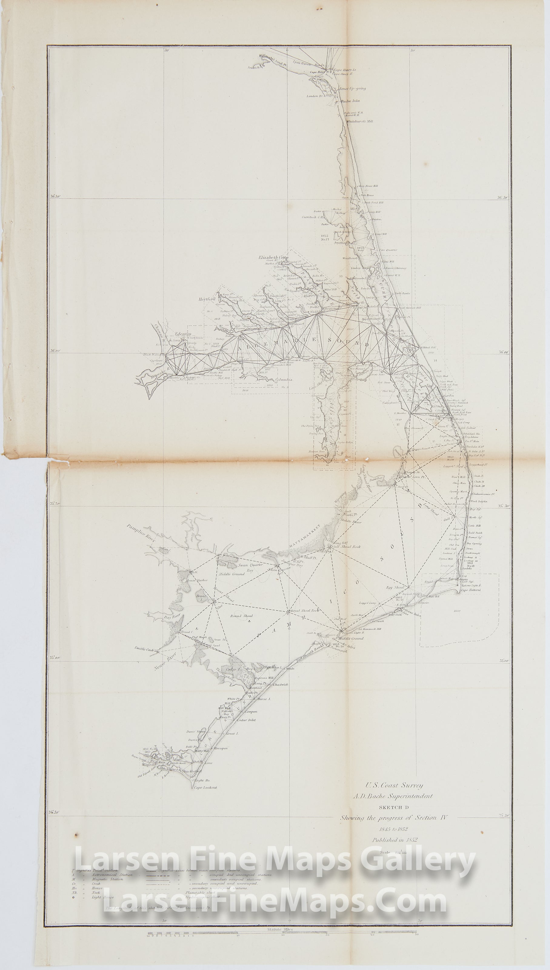
Sketch D Showing the Progress of Section IV 1845 to 1852
DESCRIPTION
Triangulation chart depicting the North Carolina coast from Cape Henry to Cape Lookout. The Outer Banks are depicted, as are the areas around Currituck Sound, Albemarle Sound, the Alligator River, Pamlico Sound ("Pamplico" on the map), and Core Sound. The map denotes tidal stations, astronomical stations, magnetic stations, creeks, houses, necks, lighthouses, and shipwrecks.
FULL TITLE
MAPMAKER/CARTOGRAPHER/AUTHOR
PUBLISHER
PUBLICATION
DIMENSIONS (Inches)
CONDITION
Choose options
DESCRIPTION
FULL TITLE
MAPMAKER/CARTOGRAPHER/AUTHOR
PUBLISHER
PUBLICATION
DIMENSIONS (Inches)
CONDITION
DESCRIPTION
FULL TITLE
MAPMAKER/CARTOGRAPHER/AUTHOR
PUBLISHER
PUBLICATION
DIMENSIONS (Inches)
CONDITION