YEAR PUBLISHED: 1852
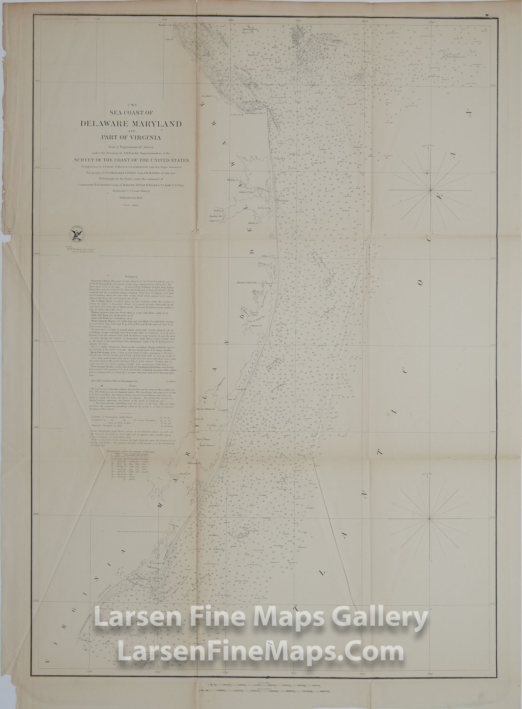
C No. 3 Sea Coast of Delaware, Maryland, and part of Virginia.
DESCRIPTION
Chart of the Sea Coast of Delaware, Maryland, and part of Virginia showing numerous depth soundings, banks, shoals, dangers and aids to the mariner including detailed notes. Charted from Gargathy Inlet, Virginia to Cape Henlopen and Cape May at entrance of Delaware Bay. Some inland details of coastal marshes shown.
FULL TITLE
MAPMAKER/CARTOGRAPHER/AUTHOR
PUBLISHER
PUBLICATION
DIMENSIONS (Inches)
CONDITION
Choose options
DESCRIPTION
FULL TITLE
MAPMAKER/CARTOGRAPHER/AUTHOR
PUBLISHER
PUBLICATION
DIMENSIONS (Inches)
CONDITION
DESCRIPTION
FULL TITLE
MAPMAKER/CARTOGRAPHER/AUTHOR
PUBLISHER
PUBLICATION
DIMENSIONS (Inches)
CONDITION