YEAR PUBLISHED: 1863
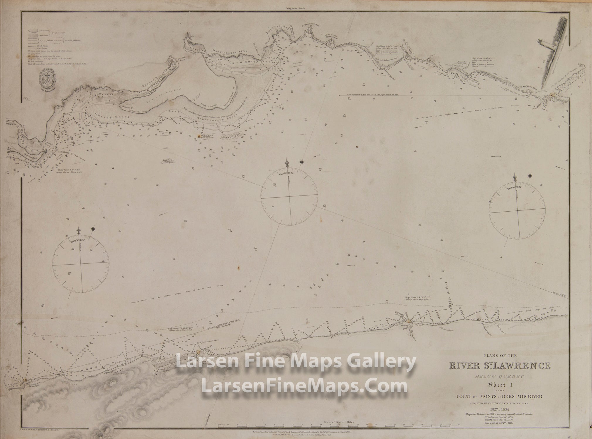
Plans of The River St. Lawrence Below Quebec, Point de Monts to Bersimis River
DESCRIPTION
Sheet 1 from Point de Monts to Bersimis River.
Shows soundings, depth curves, nature of bottoms, tidal information, lighthouses, relief by hachures and spot heights along shore with notes on nature of shoreline, mouths of rivers, etc., place-names, notes on variation of compass, some sheets with coastal profiles, illustrations or views.
FULL TITLE
MAPMAKER/CARTOGRAPHER/AUTHOR
PUBLISHER
PUBLICATION
DIMENSIONS (Inches)
CONDITION
Choose options
DESCRIPTION
FULL TITLE
MAPMAKER/CARTOGRAPHER/AUTHOR
PUBLISHER
PUBLICATION
DIMENSIONS (Inches)
CONDITION
DESCRIPTION
FULL TITLE
MAPMAKER/CARTOGRAPHER/AUTHOR
PUBLISHER
PUBLICATION
DIMENSIONS (Inches)
CONDITION