YEAR PUBLISHED: 1928
Western Hemisphere Map of Discovery
DESCRIPTION
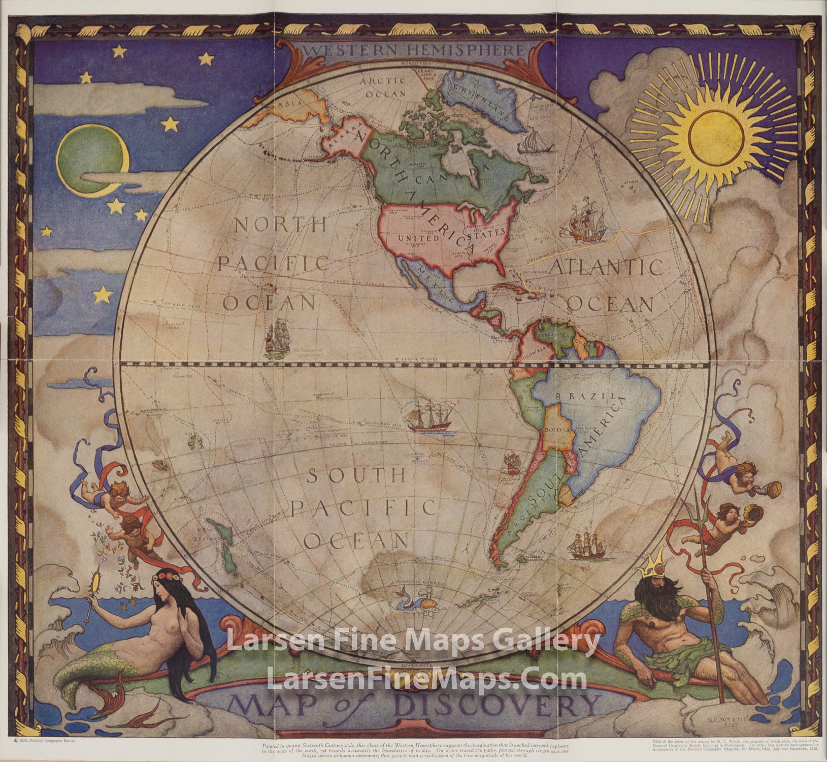
In 1927, famed American painter N. C. Wyeth completed a series of five murals for Hubbard Memorial Hall, the National Geographic Society's first formal library. The Map of Discovery: Western Hemisphere, published in January 1929, is one of those outstanding murals. It features Poseidon and a mermaid keeping watch over the oceans as well as the routes of explorers and dates of expeditions.
Painted in quaint Sixteenth Century style, this chart of the Western Hemisphere suggests the imagination that launched intrepid explorers to the ends of the earth, yet records accurately the boundaries of to-day. On it are traced the paths, plowed through virgin seas and blazed across unknown continents, that gave to man a realization of the true magnitude of his world.
Fifth of the series of five murals by N.C. Wyeth, the originals of which adorn the walls of the National Geographic Society buildings in Washington. The other four pictures have appeard as frontispieces in the National Geographic Magazine for March, May, July and November, 1928.
FULL TITLE
MAPMAKER/CARTOGRAPHER/AUTHOR
PUBLISHER
PUBLICATION
DIMENSIONS (Inches)
CONDITION
Choose options
DESCRIPTION
FULL TITLE
MAPMAKER/CARTOGRAPHER/AUTHOR
PUBLISHER
PUBLICATION
DIMENSIONS (Inches)
CONDITION
DESCRIPTION
FULL TITLE
MAPMAKER/CARTOGRAPHER/AUTHOR
PUBLISHER
PUBLICATION
DIMENSIONS (Inches)
CONDITION