
YEAR PUBLISHED: 1946
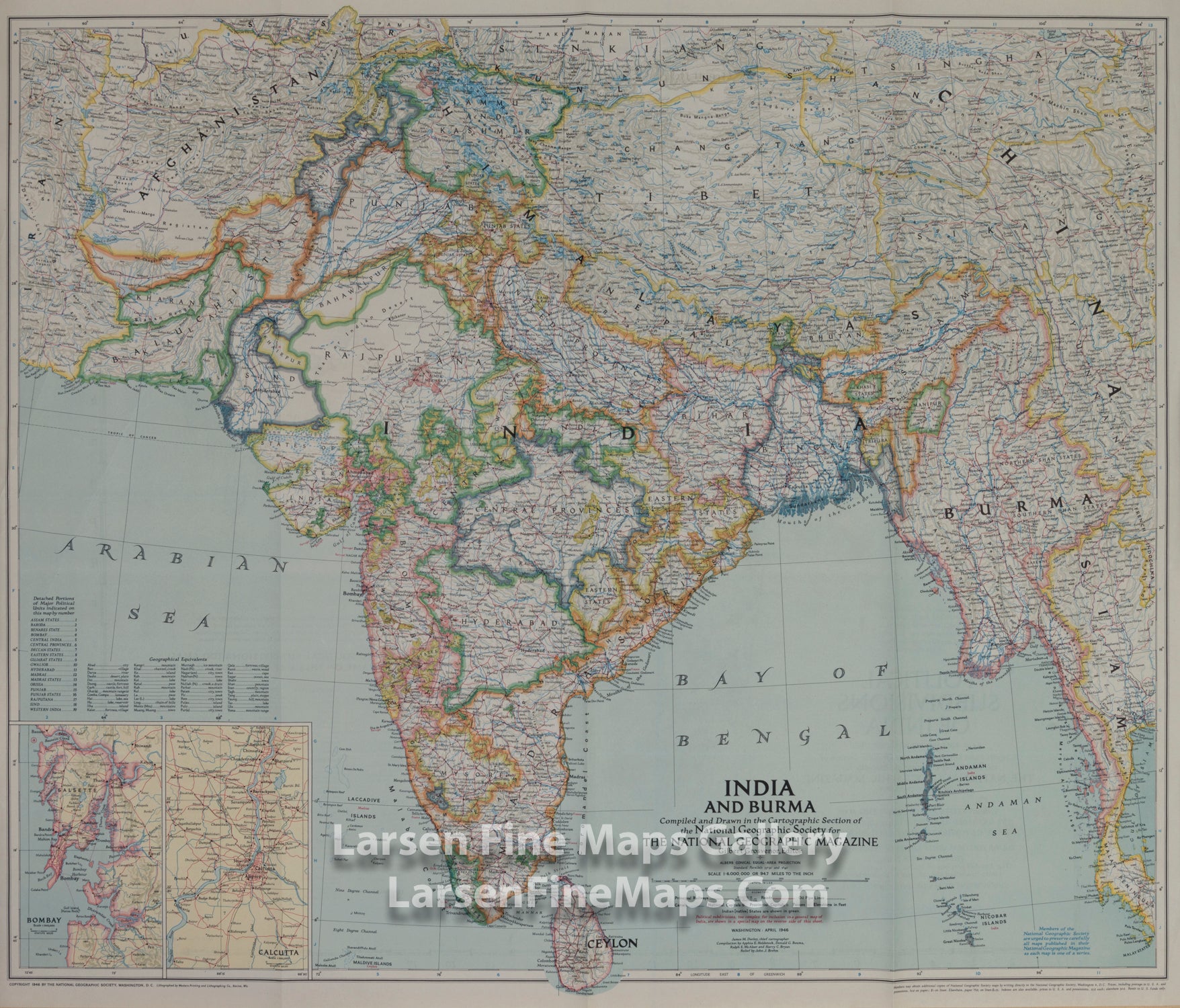
India And Burma
DESCRIPTION
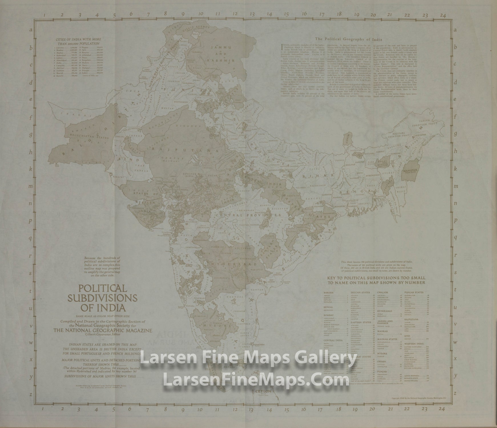
Published in April 1946 just a year before India and Pakistan gained their independence, this map of India and Burma details the numerous provinces of the region. Half of a two-map set accompanied the "Political Subdivisions of India" map and three articles on India.
Political subdivisions, too complex for inclusion in a general map of India, are shown in a special map on the reverse side of this sheet.
FULL TITLE
MAPMAKER/CARTOGRAPHER/AUTHOR
PUBLISHER
PUBLICATION
DIMENSIONS (Inches)
CONDITION
Choose options
DESCRIPTION
FULL TITLE
MAPMAKER/CARTOGRAPHER/AUTHOR
PUBLISHER
PUBLICATION
DIMENSIONS (Inches)
CONDITION
DESCRIPTION
FULL TITLE
MAPMAKER/CARTOGRAPHER/AUTHOR
PUBLISHER
PUBLICATION
DIMENSIONS (Inches)
CONDITION