YEAR PUBLISHED: 1938
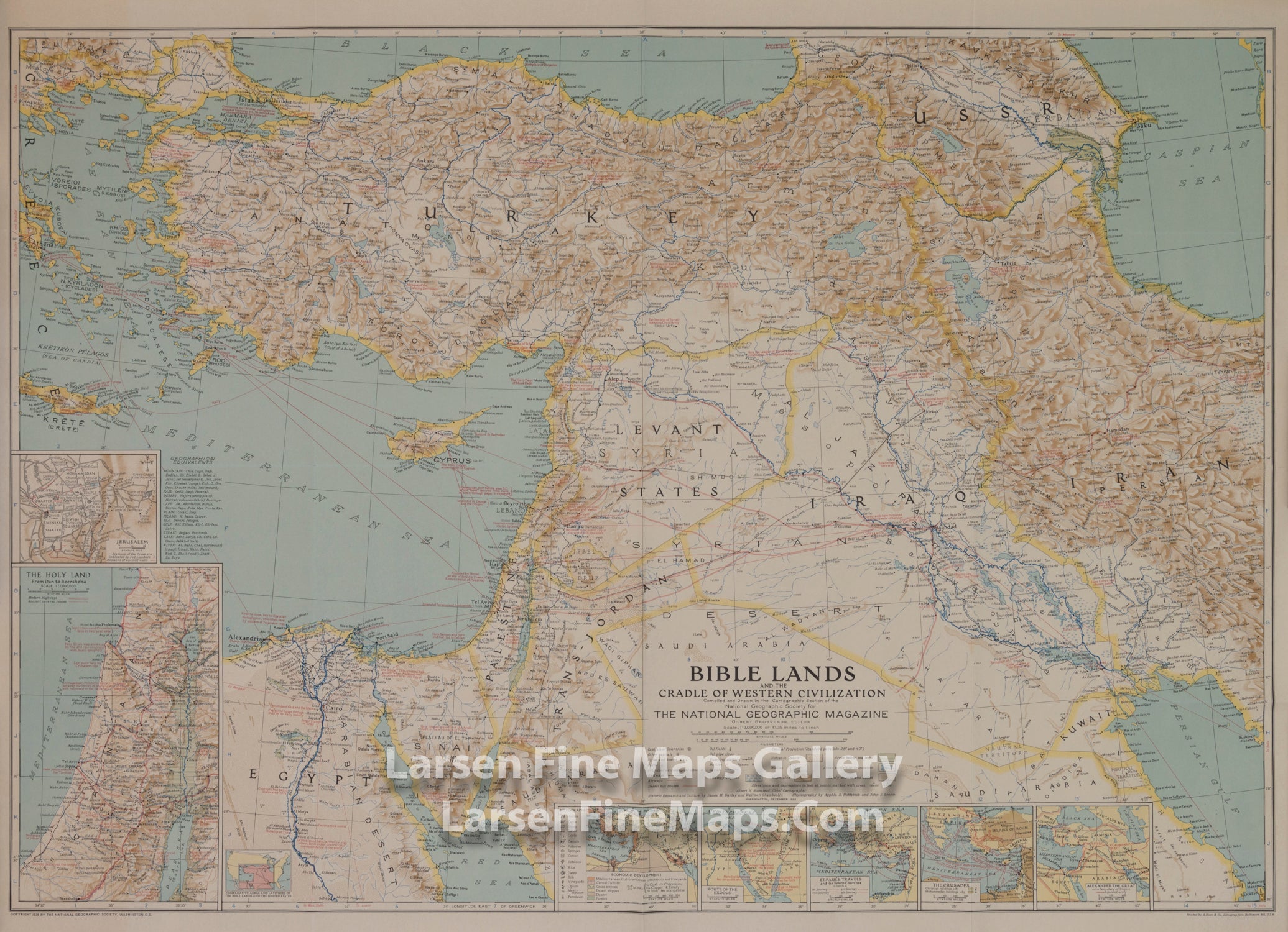
Bible Lands And The Cradle of Western Civilization
DESCRIPTION
This instructive map is great for collectors or anyone interested in the lands of the Bible. Multiple inset maps detail historical periods such as the route of the Exodus and the Crusades, and the main map contains historical facts as well as information about archaeological finds. Published in December 1938, the map accompanied the article "Change Comes to Bible Lands."
FULL TITLE
MAPMAKER/CARTOGRAPHER/AUTHOR
PUBLISHER
PUBLICATION
DIMENSIONS (Inches)
CONDITION
Choose options
DESCRIPTION
FULL TITLE
MAPMAKER/CARTOGRAPHER/AUTHOR
PUBLISHER
PUBLICATION
DIMENSIONS (Inches)
CONDITION
DESCRIPTION
FULL TITLE
MAPMAKER/CARTOGRAPHER/AUTHOR
PUBLISHER
PUBLICATION
DIMENSIONS (Inches)
CONDITION