YEAR PUBLISHED: 1947
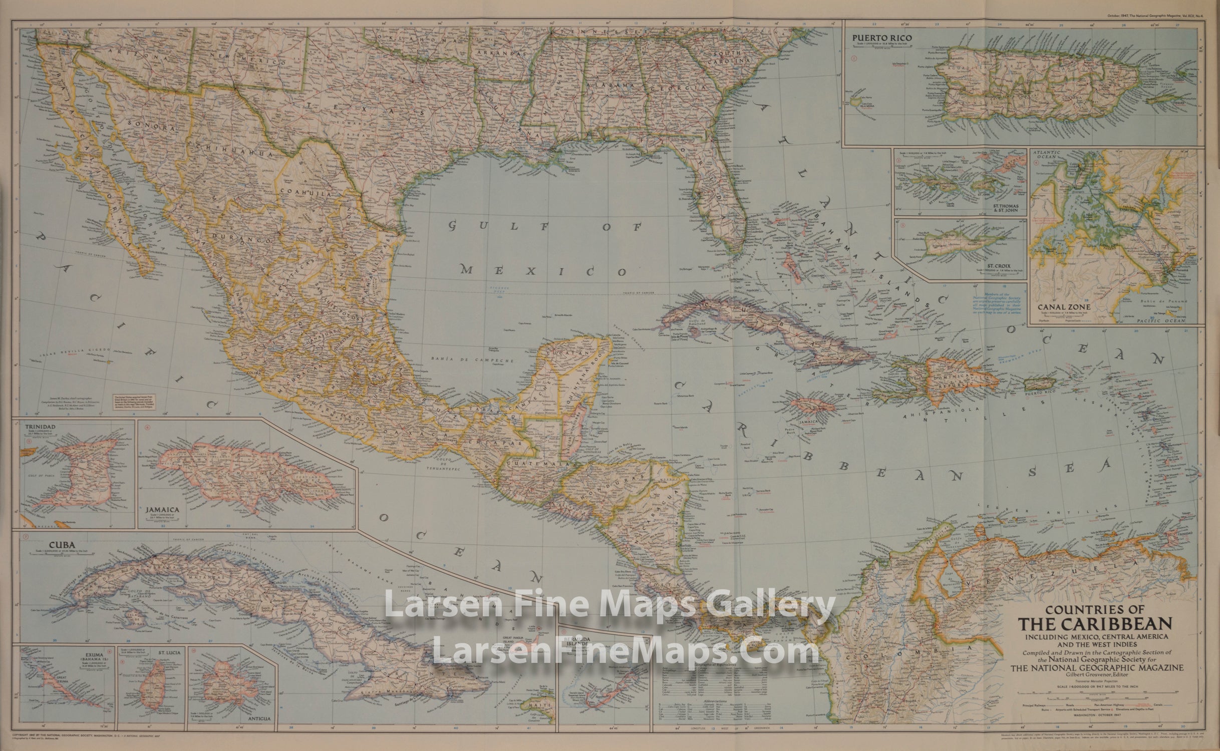
Countries of The Caribbean - Mexico, Central America and West Indies
DESCRIPTION
Published in October 1947, this map of the Countries of the Caribbean features Mexico, Central America, and the West Indies as well the islands of the Caribbean. Inset maps of ten of the most prominent islands and the Panama Canal zone provide detail of the region. The article "Guatemala Revisited" accompanied the map.
FULL TITLE
MAPMAKER/CARTOGRAPHER/AUTHOR
PUBLISHER
PUBLICATION
DIMENSIONS (Inches)
CONDITION
Choose options
DESCRIPTION
FULL TITLE
MAPMAKER/CARTOGRAPHER/AUTHOR
PUBLISHER
PUBLICATION
DIMENSIONS (Inches)
CONDITION
DESCRIPTION
FULL TITLE
MAPMAKER/CARTOGRAPHER/AUTHOR
PUBLISHER
PUBLICATION
DIMENSIONS (Inches)
CONDITION