YEAR PUBLISHED: 1960
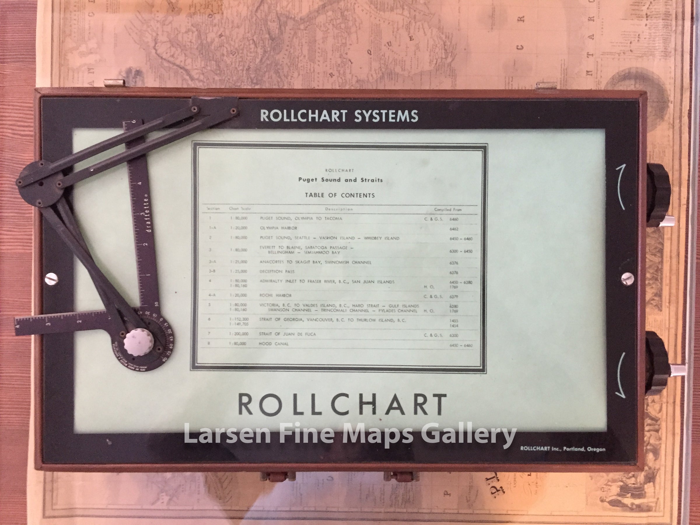
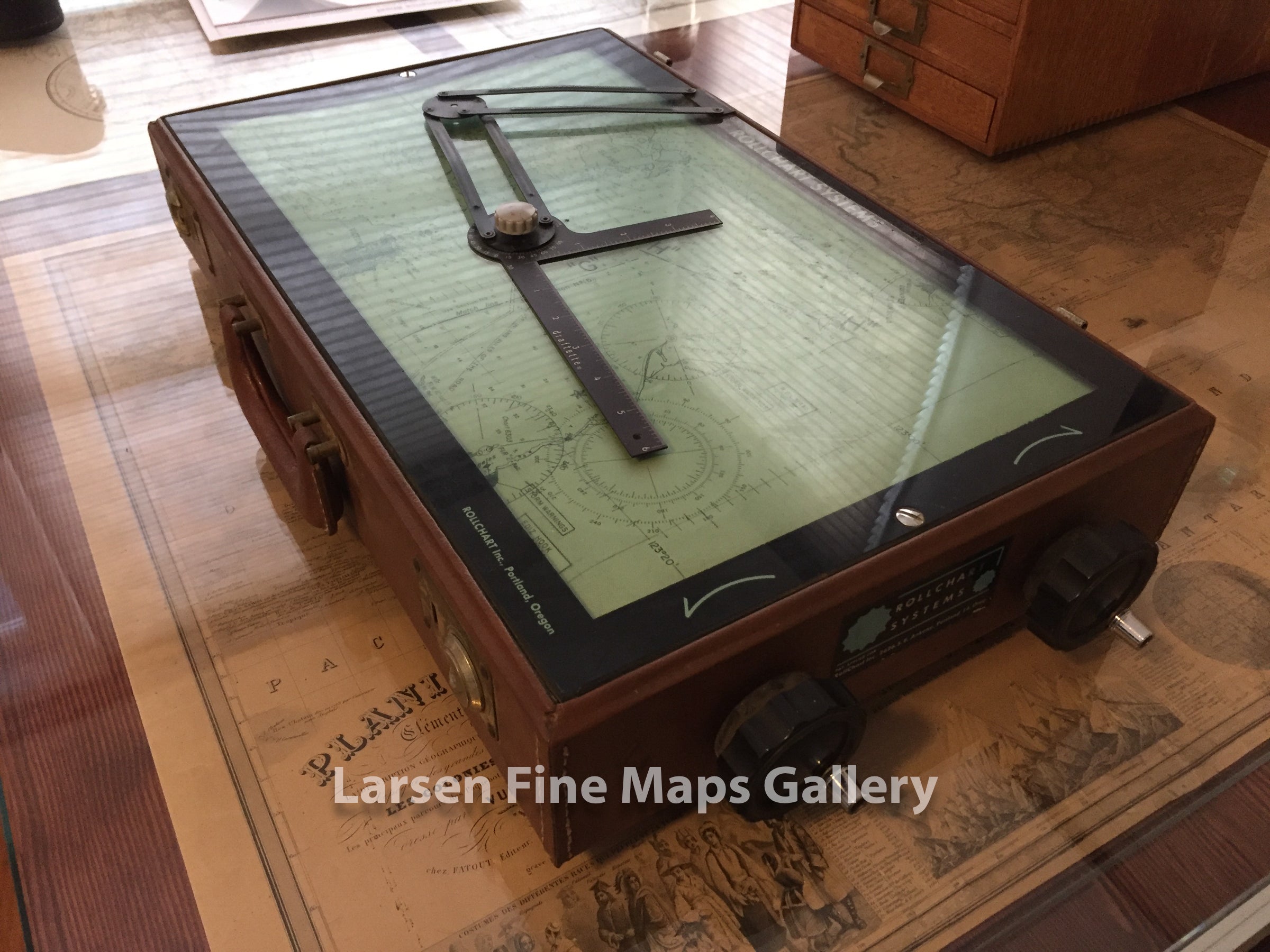
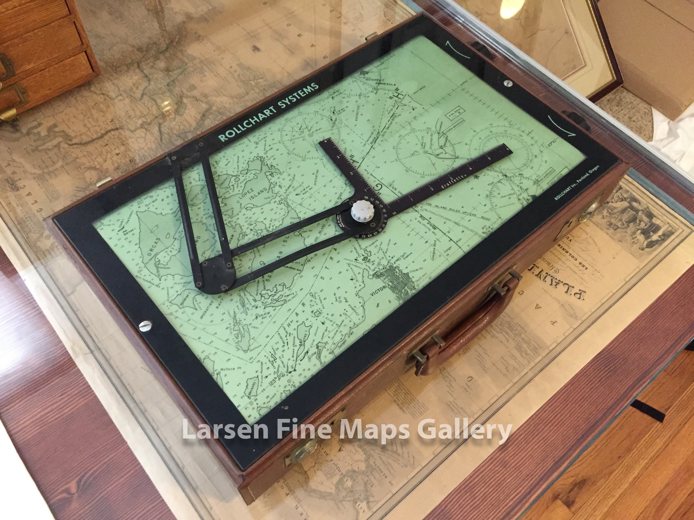
Puget Sound and Straits Rollchart Systems
DESCRIPTION
A fabulous and striking piece of ingenuity for sea charts. This Rollchart has a long rolled chart of Puget Sound that one can scroll through as needed during voyage up or down the Sound. The original had a lid much like a briefcase which is missing as acquired.
FULL TITLE
MAPMAKER/CARTOGRAPHER/AUTHOR
PUBLISHER
PUBLICATION
DIMENSIONS (Inches)
CONDITION
Choose options
DESCRIPTION
FULL TITLE
MAPMAKER/CARTOGRAPHER/AUTHOR
PUBLISHER
PUBLICATION
DIMENSIONS (Inches)
CONDITION
DESCRIPTION
FULL TITLE
MAPMAKER/CARTOGRAPHER/AUTHOR
PUBLISHER
PUBLICATION
DIMENSIONS (Inches)
CONDITION