YEAR PUBLISHED: 1851
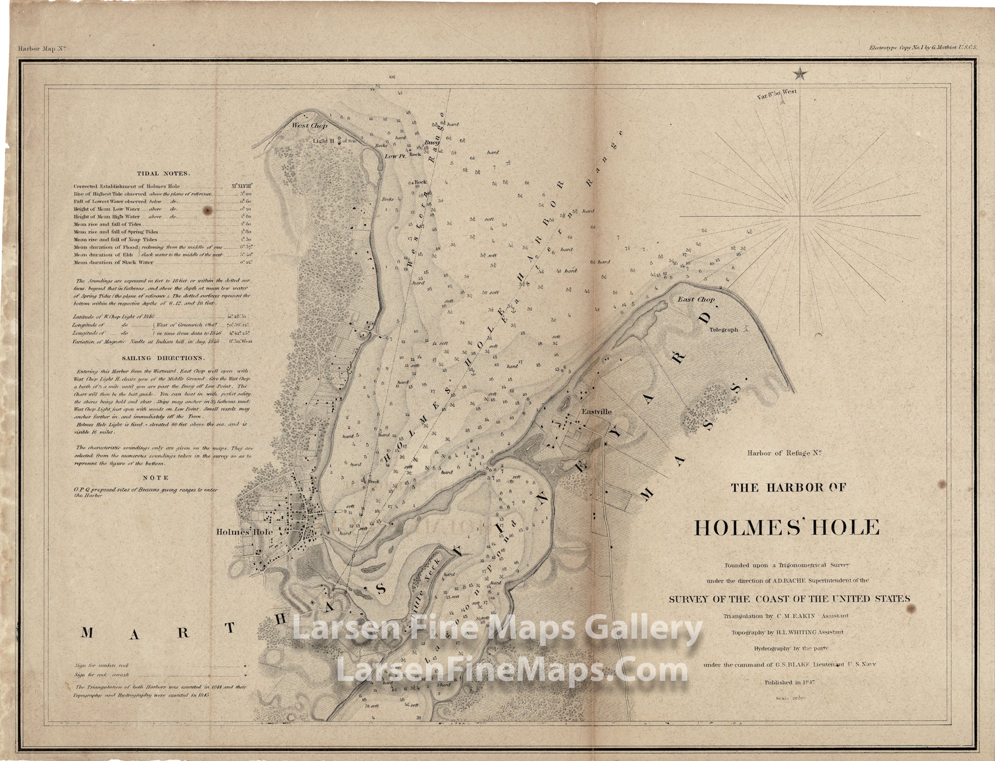
The Harbor of Holmes' Hole
DESCRIPTION
Highly detailed map showing streets, farms, buildings and roads (more detail than typical of USCS maps) of Vineyard Haven, Martha’s Vineyard, Massachusetts. Details the population center of Holmes’ Hole, (Vineyard Haven), West Chop, East Chop, Little Neck and Lagoon Pond, Eastville.
Depth sounding, notes on tides and detailed sailing instructions.
The triangulation for this chart was completed by C. M. Eakin. The topographical detail by H. I. Witing.
Dated 1847
FULL TITLE
MAPMAKER/CARTOGRAPHER/AUTHOR
PUBLISHER
PUBLICATION
DIMENSIONS (Inches)
CONDITION
Choose options
DESCRIPTION
FULL TITLE
MAPMAKER/CARTOGRAPHER/AUTHOR
PUBLISHER
PUBLICATION
DIMENSIONS (Inches)
CONDITION
DESCRIPTION
FULL TITLE
MAPMAKER/CARTOGRAPHER/AUTHOR
PUBLISHER
PUBLICATION
DIMENSIONS (Inches)
CONDITION