YEAR PUBLISHED: 1888
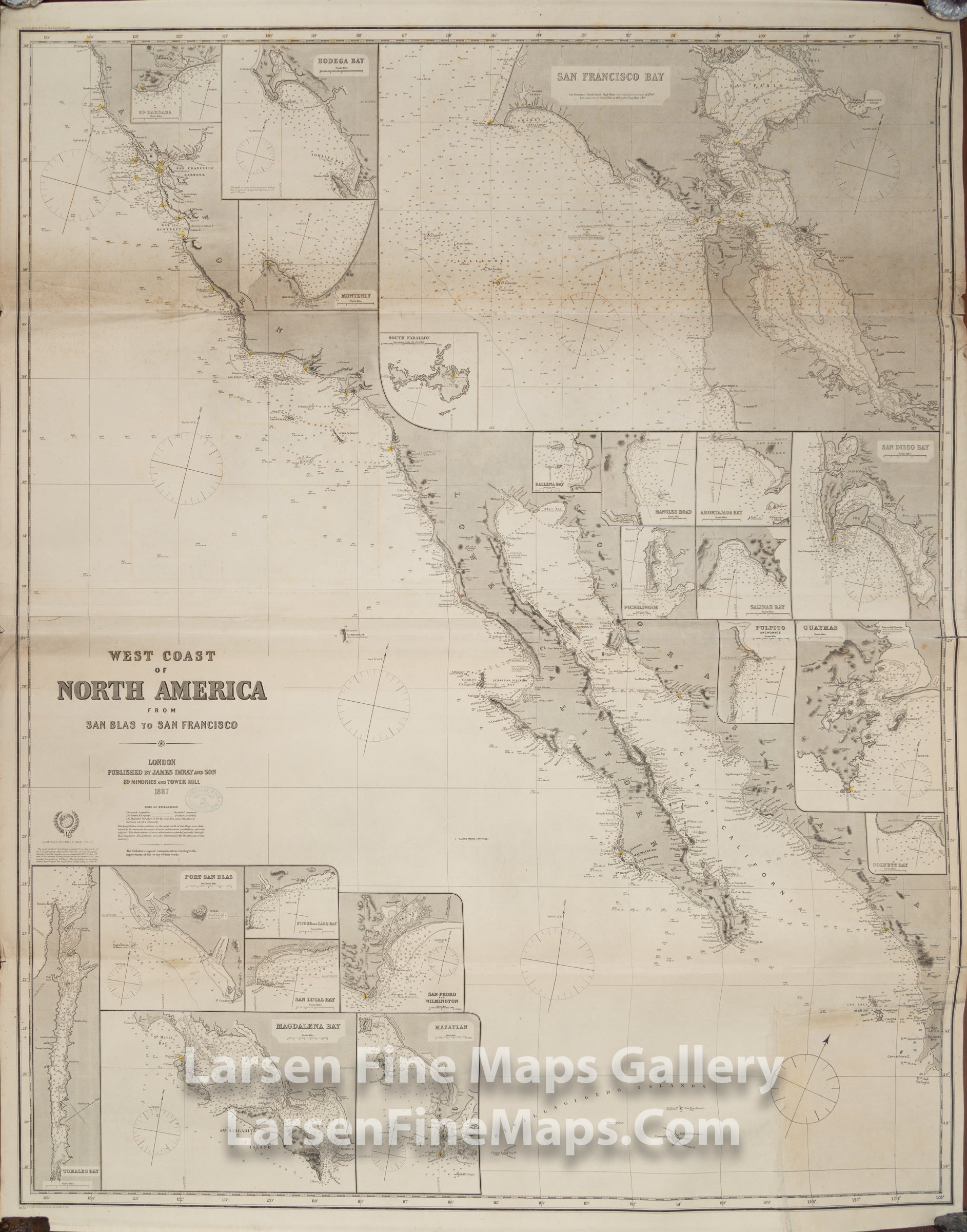
West Coast of North America From San Blas to San Francisco
DESCRIPTION
This antique uncolored nautical chart is richly detailed, showing California's coast and part of the western coast of Mexico, including present-day Baja California. This chart was published in 1887 and corrected to 1888. The chart includes 21 inset maps showing regional bays, islands, and coastal cities (Santa Barbara, Bodega Bay, Monterey, South Farallon Islands, San Diego Bay, Guaymas, Port San Blas, San Jose del Cabo Bay, Tomales Bay, Magdalena Bay, etc.), the largest of these is a map of San Francisco Bay.
FULL TITLE
MAPMAKER/CARTOGRAPHER/AUTHOR
PUBLISHER
PUBLICATION
DIMENSIONS (Inches)
CONDITION
Choose options
DESCRIPTION
FULL TITLE
MAPMAKER/CARTOGRAPHER/AUTHOR
PUBLISHER
PUBLICATION
DIMENSIONS (Inches)
CONDITION
DESCRIPTION
FULL TITLE
MAPMAKER/CARTOGRAPHER/AUTHOR
PUBLISHER
PUBLICATION
DIMENSIONS (Inches)
CONDITION